1 / 2
Nat'l Recreation Area
Official sources & verification
Managed by National Recreation Area
Source of truth
- Agency source page
The page our published rules and notes are derived from.
Managing agency
- National Recreation Area
Find offices, alerts, and current orders for this agency.
Verify by phone or mail
- Operator:661-391-6000
- Email:BLM_CA_Web_BK@blm.gov
- Address:CA
About
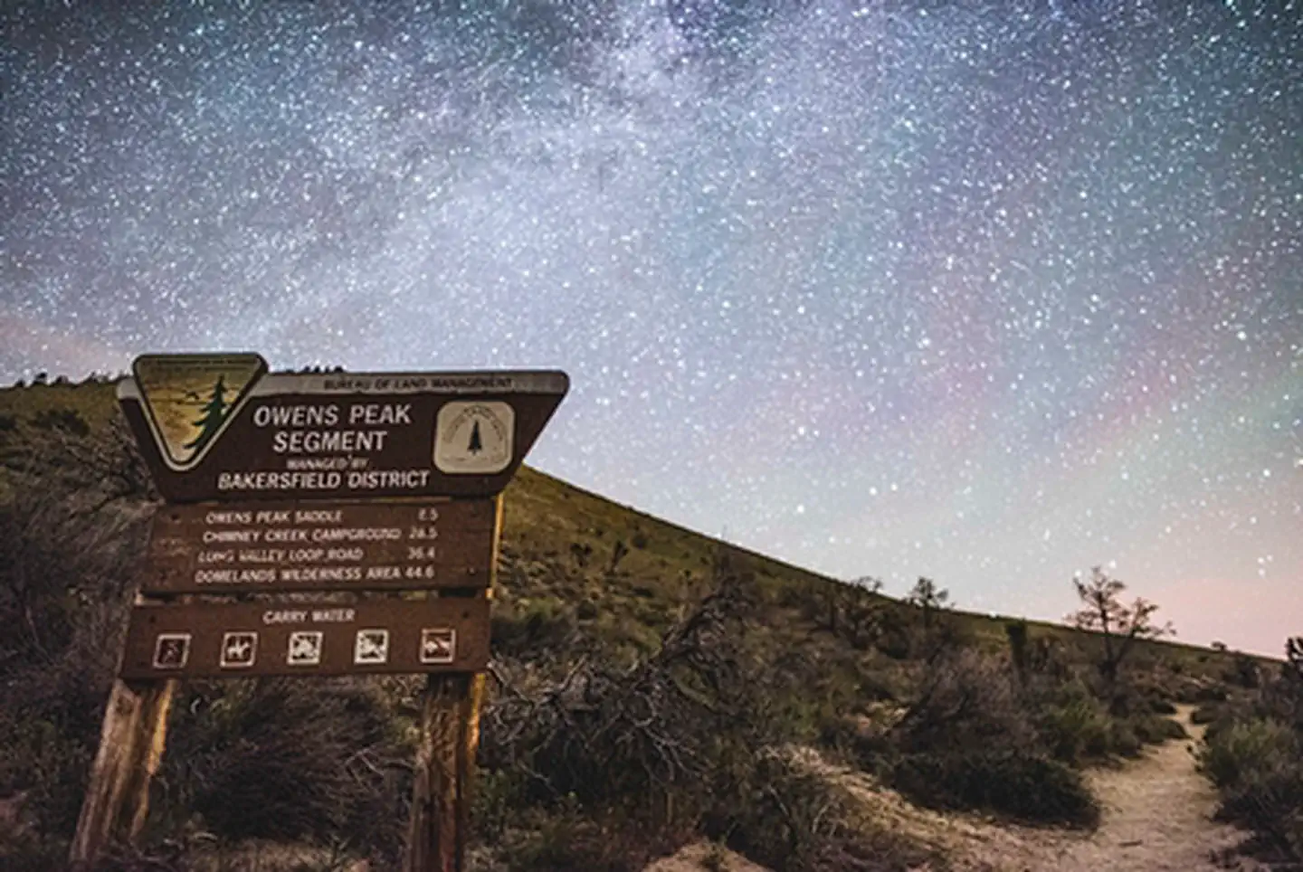
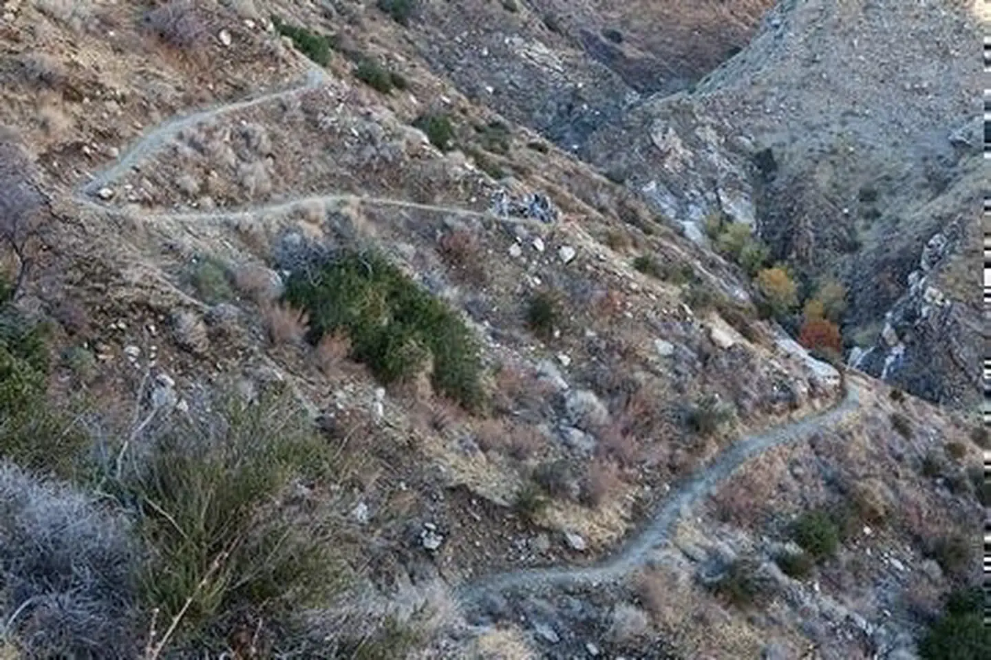
Imported descriptionThe Pacific Crest National Scenic Trail (PCNST or PCT for short) is a continuous hiking and equestrian route extending 2,600 miles from Canada to Mexico. It passes through 23 national forests (including several wilderness areas), 7 national parks, other Federal lands, and numerous portions of State, local, tribal, and private lands. It was established as part of the national system of recreational and scenic trails under the National Trails System Act of 1968. Elevations along the trail range from 500 feet near Whitewater to just below 13,200 feet near Mount Whitney in the Sierra Nevada. Open to nonmechanized use only, the trail is a popular journey for backpackers. In southern California, winter and spring are generally the best times to travel, when daytime temperatures remain below 80 degrees Fahrenheit, spring rains bring out the wildflowers, and splashes of green accent the oak-chaparral foothills. Trailheads can be accessed at the top of Walker Pass on State Highway 178, at Bird Springs Pass off of designated route SC120 within the Jawbone-Butterbredt ACEC, and at the Chimney Creek Campground on the eastern side of the Chimney Peak Wilderness. The Owens Peak Segment begins at Walker Pass in Kern County, and extends 41 miles north to the Sequoia National Forest at Rockhouse Basin within the Domelands Wilderness. Elevations range from 5,245 feet at Walker Pass to 7,900 feet on Bear Mountain. The trail offers spectacular views of the surrounding mountains and valleys.
Source: recreation.gov
Reviews
No reviews yet
Be the first to share your experience and help others plan their visit.
Hunting in this park
Hunting is generally prohibited in this National Park Service unit
Verify current park-specific rules with the National Park Service before planning any hunt. See NPS regulations
Within ~100 miles
Parks near Pacific Crest- Owens Peak Segment
Nat'l Recreation Area
Park
Kiavah Wilderness
California
Nat'l Recreation Area
Park
Owens Peak Wilderness (Short Canyon)
California

Nat'l Recreation Area
Park
Domeland Wilderness
California
Nat'l Recreation Area
Park
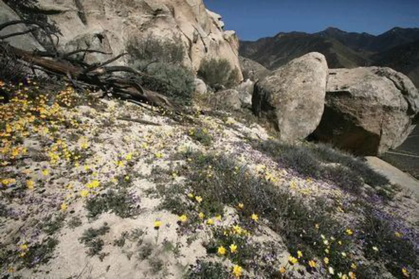
Chimney Peak Recreation Area
California
Nat'l Recreation Area
Park
Chimney Peak Wilderness
California
recreation area
Park
Dove Springs OHV Area
California
Same state
More parks in California
Featured
National Park
Park
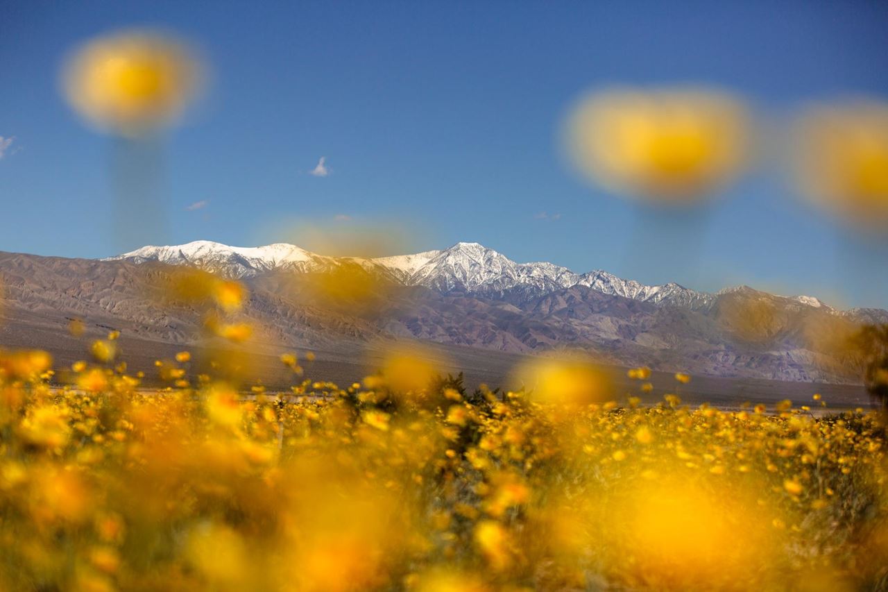
Death Valley National Park
California
5,326 sq mi
Featured
National Forest
Park
Inyo National Forest
California
2,974 sq mi
Featured
National Park
Park
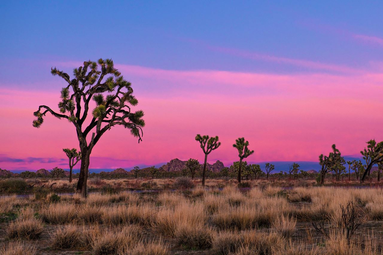
Joshua Tree National Park
California
1,242 sq mi
Featured
National Park
Park
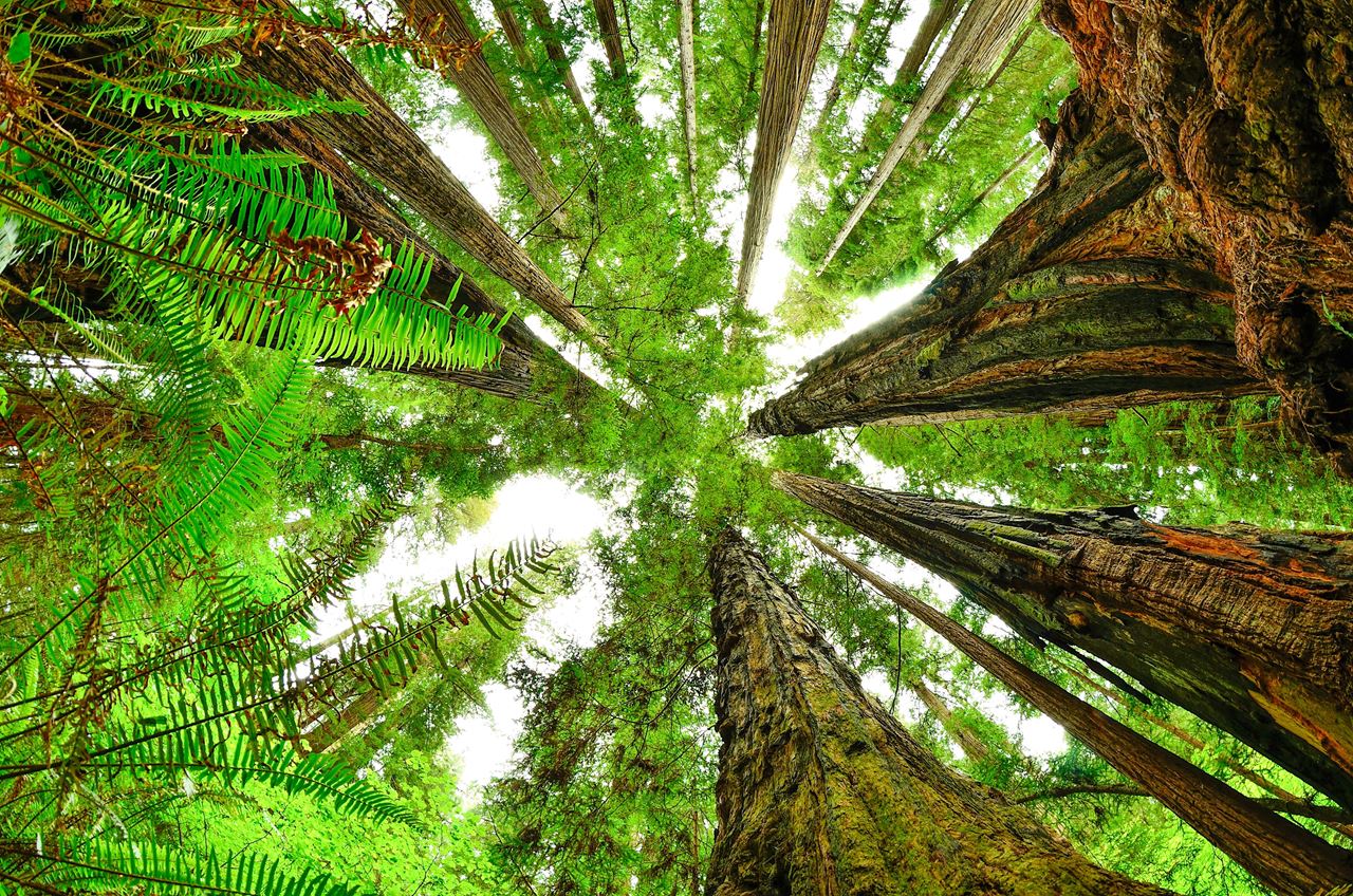
Redwood National and State Parks
California
217 sq mi
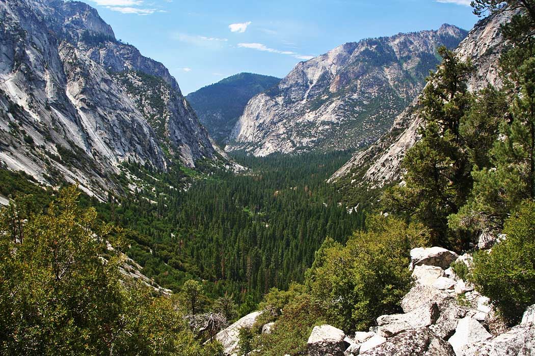
Featured
National Park
Park
Sequoia National Park
California
631 sq mi
Featured
National Forest
Park
Shasta-Trinity National Forest
California
3,438 sq mi
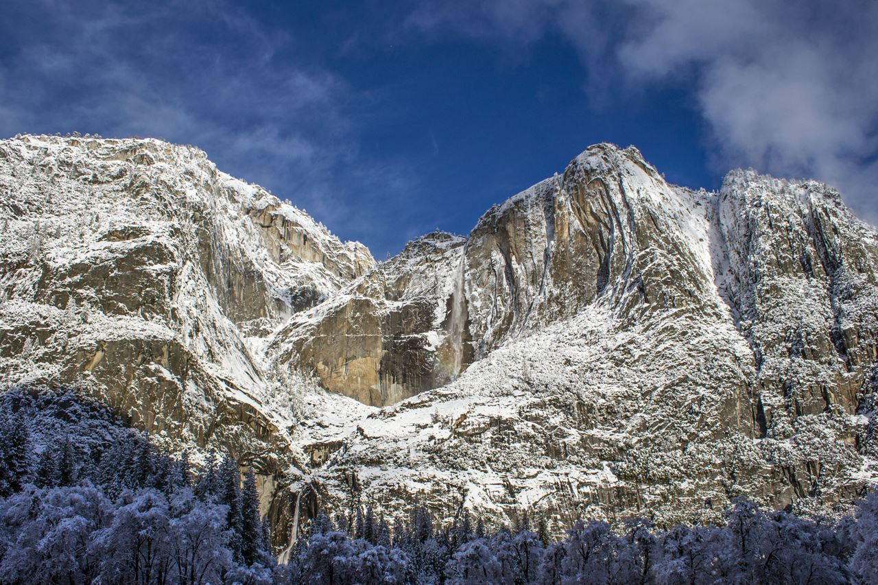
Featured
National Park
Park
Yosemite National Park
California
1,190 sq mi
Nat'l Recreation Area
Park
California
Spot an error in our data on Pacific Crest- Owens Peak Segment?