No photos yet
Official sources & verification
Managed by National Recreation Area
Source of truth
- Agency source page
The page our published rules and notes are derived from.
Managing agency
- National Recreation Area
Find offices, alerts, and current orders for this agency.
Verify by phone or mail
- Operator:208-769-5000
- Email:BLM_ID_Coeurd'AleneOffice@blm.gov
- Address:ID
About
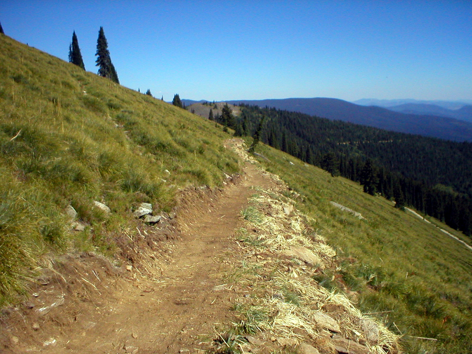
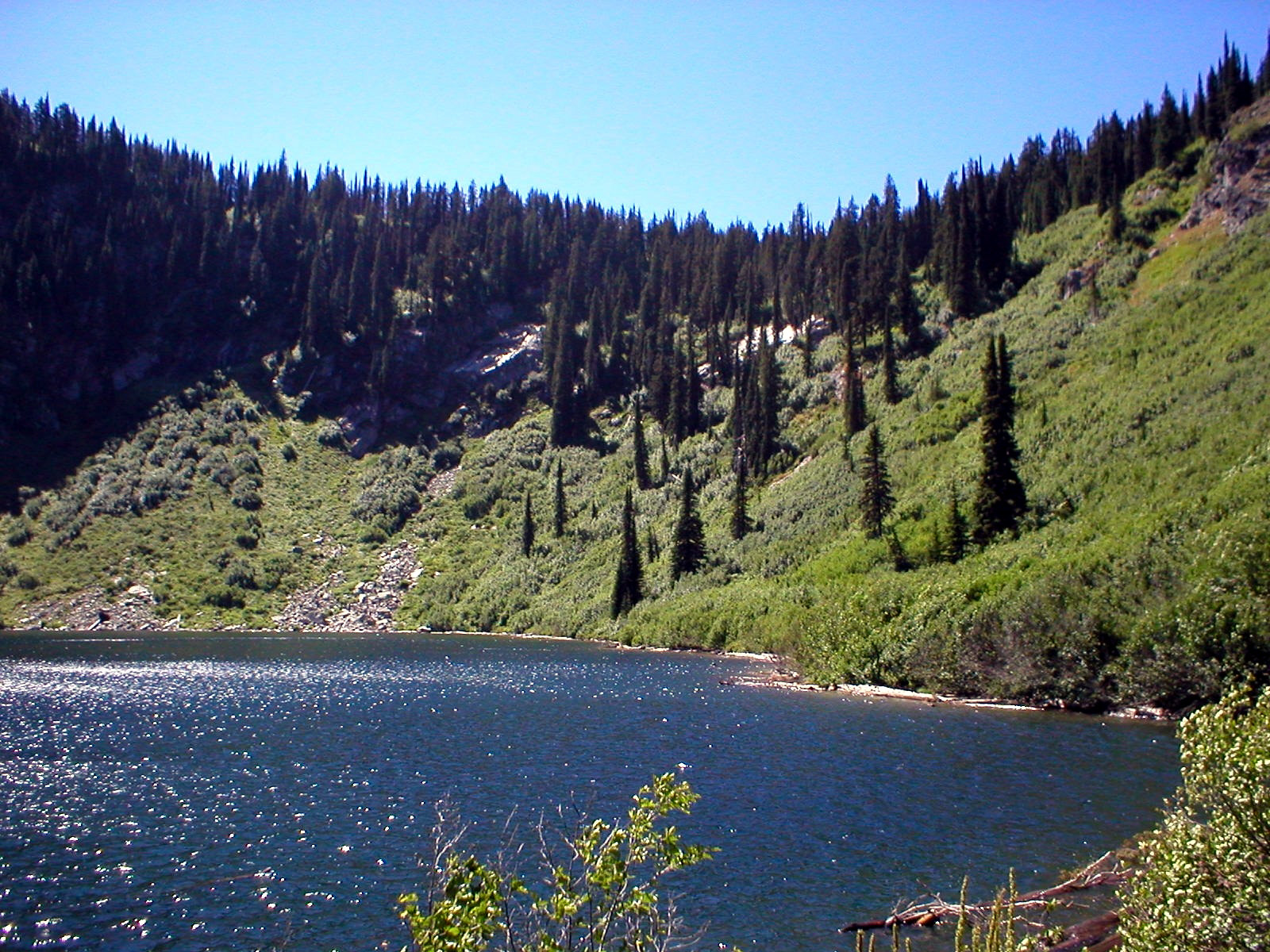
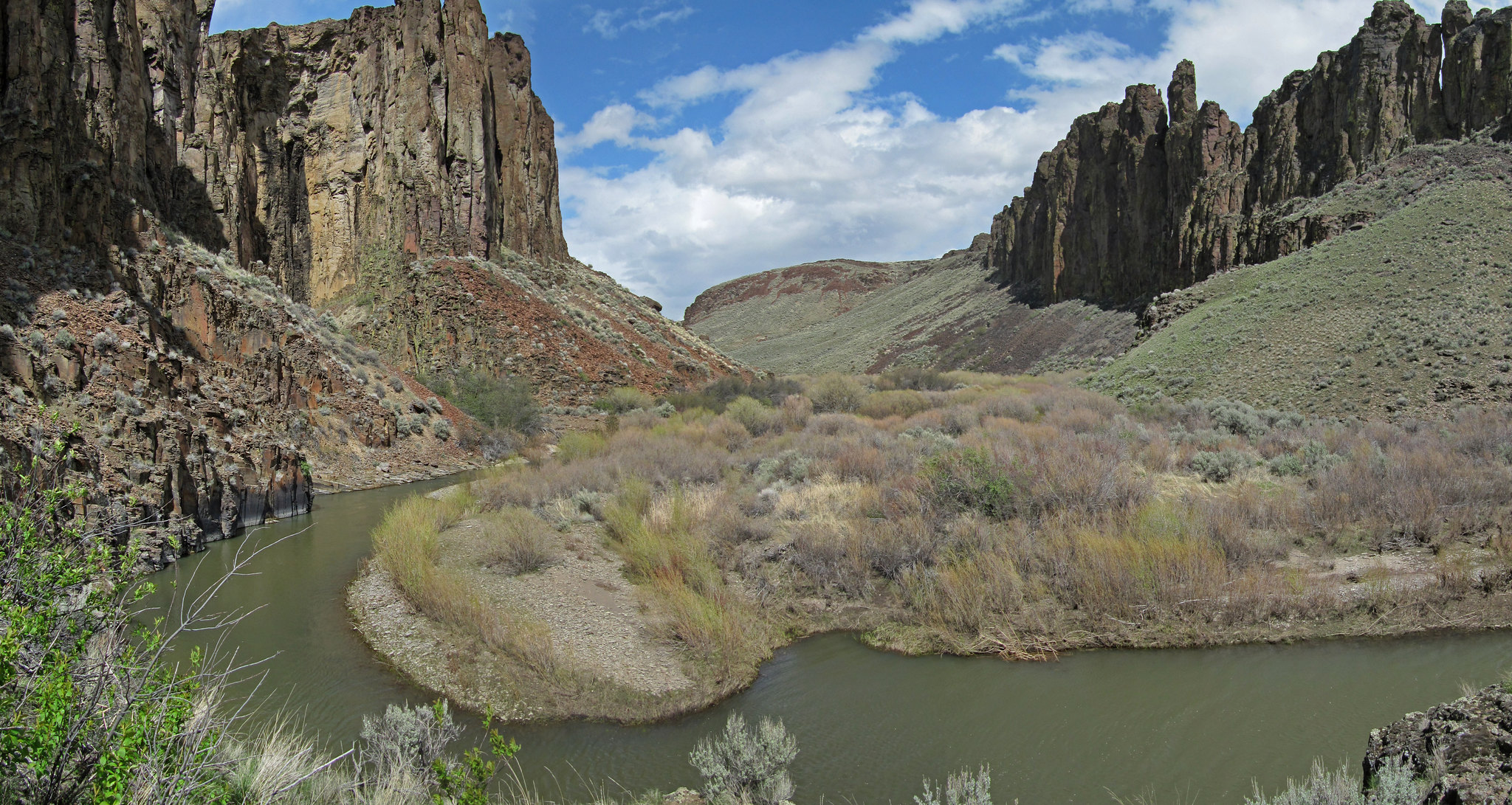
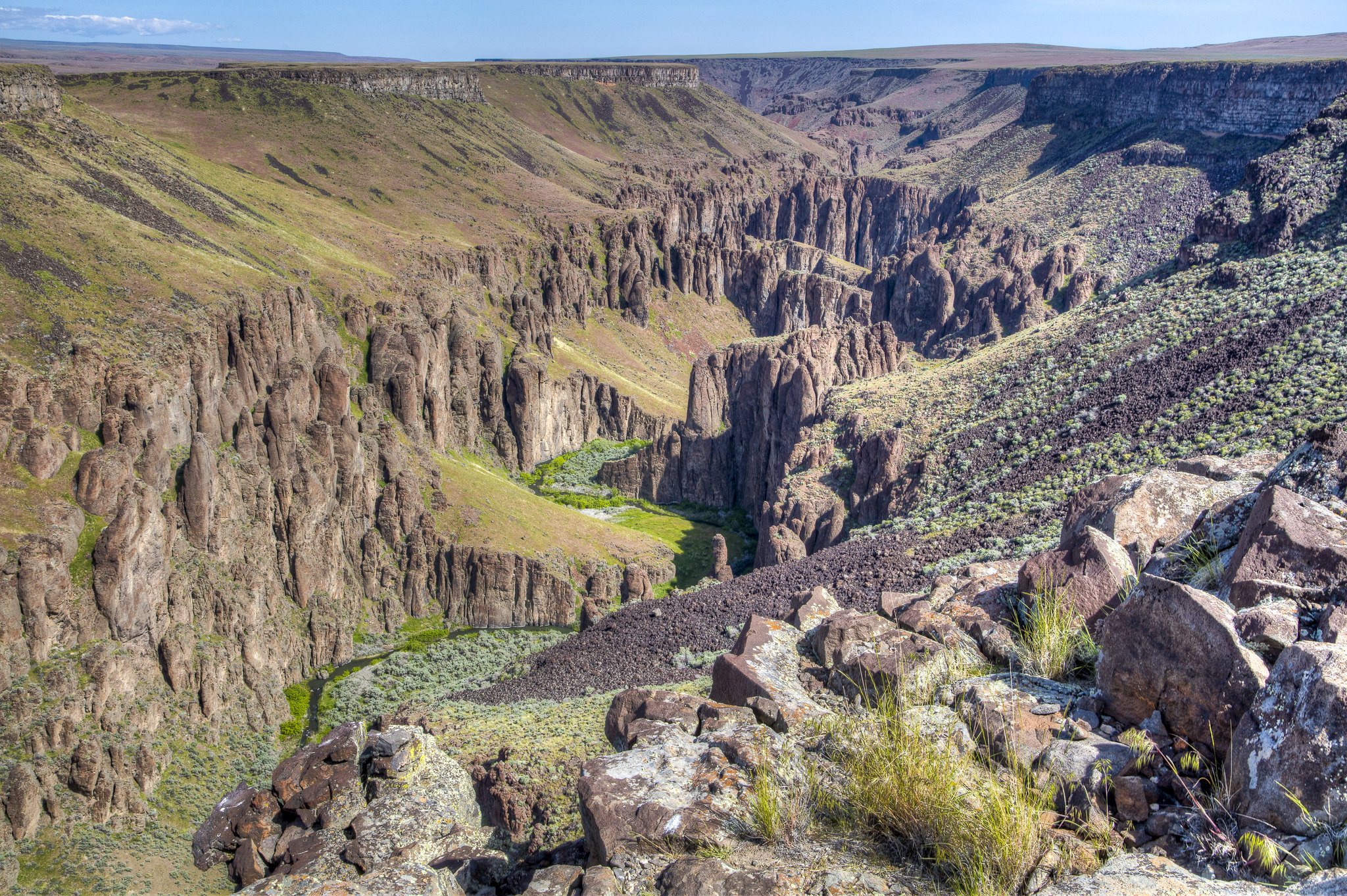
Imported descriptionThis trail is part of a 45 mile network collectively referred to as the Marble Creek Trail System providing access to and through the Widow Mountain Wilderness Study Area. The area has an intermingled ownership and is jointly administered by the BLM and Forest Service. The trail follows a high mountain ridge alternating between forested saddles and open, rocky mountain tops with vast scenic views. The moderate-difficult trail is 7 miles one way with elevations ranging from 5907-6789.
Source: recreation.gov
From Wikipedia
Lookout Mountain is a mountain ridge at the northwest corner of the U.S. state of Georgia, the northeast corner of Alabama, and along the southeastern Tennessee state line in Chattanooga. Lookout Mountain was the scene of the 18th-century "Last Battle of the Cherokees" in this area during the Nickajack Expedition. On November 24, 1863, during the American Civil War, the Battle of Lookout Mountain took place here.
Source: Wikipedia — text licensed CC BY-SA 4.0. Verify alerts and operational details with the managing agency below.
Reviews
No reviews yet
Be the first to share your experience and help others plan their visit.
Hunting in this park
Hunting is generally prohibited in this National Park Service unit
Verify current park-specific rules with the National Park Service before planning any hunt. See NPS regulations
Within ~100 miles
Parks near Lookout Mountain
Nat'l Recreation Area
Park
Delaney Creek
Idaho
Nat'l Recreation Area
Park
Grandmother Mountain Wilderness Study Area
Idaho
Nat'l Recreation Area
Park
Lost Lake
Idaho
Nat'l Recreation Area
Park
Little Lost Lake
Wilderness Area
Park
Crystal Lake Wilderness Study Area
Washington
Nat'l Recreation Area
Park
Crystal Lake
Washington
Same state
More parks in Idaho
Nat'l Recreation Area
Park
Anderson Ranch Reservoir Boat Ramps
Idaho
Wilderness Area
Park
Appendicitis Hill Wilderness Study Area
Idaho

recreation area
Park
Arrowrock Reservoir
Idaho
Nat'l Recreation Area
Park
Balanced Rock
Idaho
Nat'l Recreation Area
Park
Battle Creek Wild and Scenic River
Idaho
Nat'l Recreation Area
Park
Bear Den Butte Wilderness Study Area
Idaho

Nat'l Recreation Area
Park
Beaverhead-Deerlodge National Forest
Idaho
Nat'l Recreation Area
Park
Big Jacks Creek Wild and Scenic River
Idaho
Spot an error in our data on Lookout Mountain?