Nat'l Recreation Area
Official sources & verification
Managed by National Recreation Area
Source of truth
- Agency source page
The page our published rules and notes are derived from.
Managing agency
- National Recreation Area
Find offices, alerts, and current orders for this agency.
Verify by phone or mail
- Operator:575-525-4300
- Address:NM
About
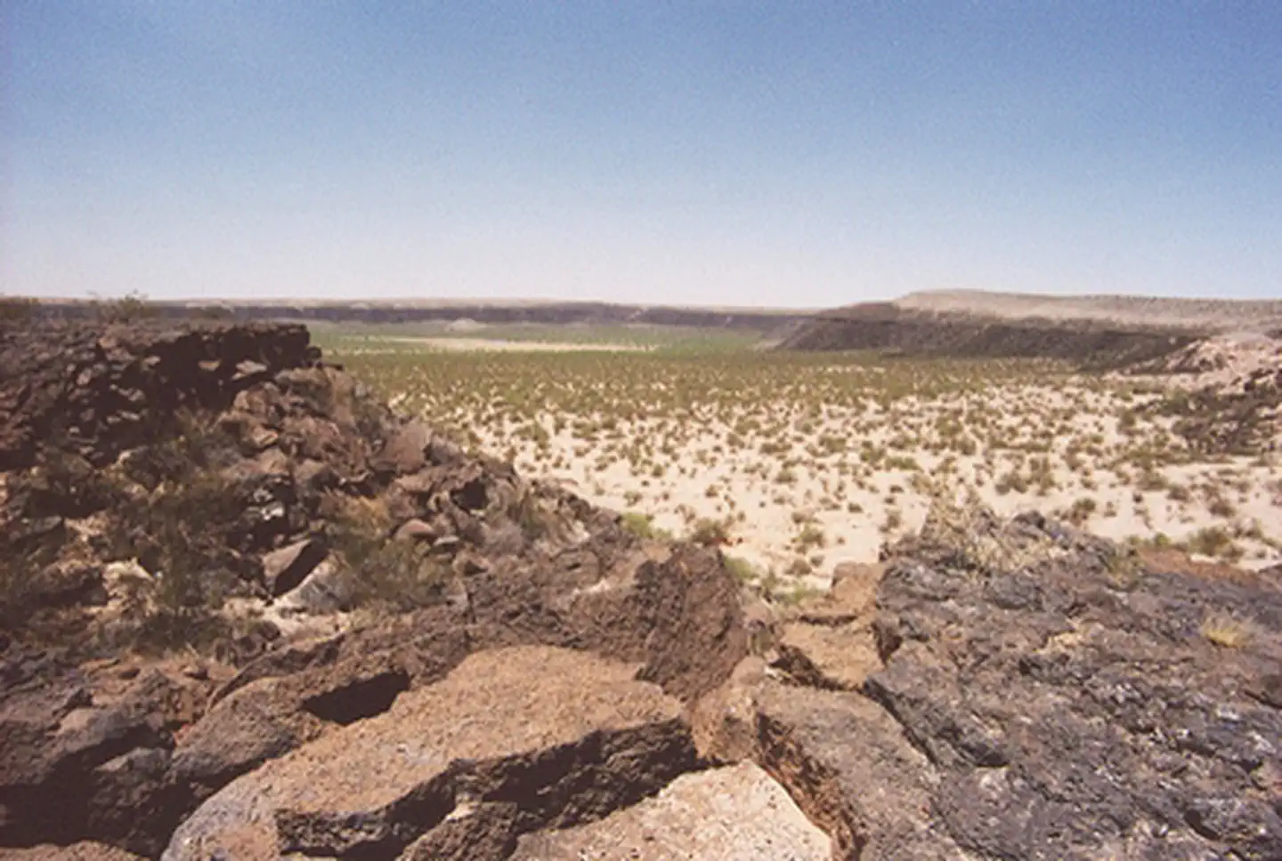
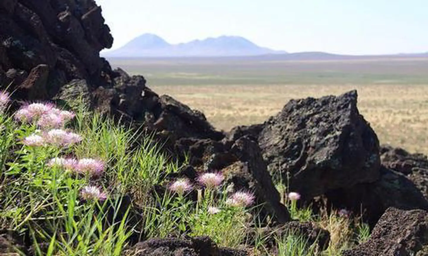
Imported descriptionA remnant of an ancient volcanic explosion, Kilbourne Hole was designated a National Natural Landmark in 1975. This crater can be found in a desert basin between the Potrillo Mountains and the Rio Grande in southern Dona Ana County. Kilbourne Hole is roughly elliptical in shape, and is known as a Maar - a pit or depression caused by a volcanic explosion with little material emitted except volcanic gas. The crater is between 24,000 and 100,000 years old, and measures 1.7 miles long by well over a mile across, and is hundreds of feet deep.Kilbourne Hole has many unique minerals remaining from the eruption. The crusts of the Kilbourne Hole volcanic bombs - objects blown from the volcanic vent in a near plastic state - are dull black or brown, but when broken open they often reveal a brilliant, sparkling yellow and green interior of olivine glass granules.
Source: recreation.gov
Reviews
No reviews yet
Be the first to share your experience and help others plan their visit.
Hunting in this park
Hunting is generally prohibited in this National Park Service unit
Verify current park-specific rules with the National Park Service before planning any hunt. See NPS regulations
Within ~100 miles
Parks near Kilbourne Hole Volcanic Crater
Nat'l Recreation Area
Park
Aden Lava Flow Wilderness Study Area
New Mexico
Nat'l Recreation Area
Park
Aden Lava Flow Wilderness
New Mexico
Nat'l Recreation Area
Park
Mount Riley Wilderness Area
New Mexico
Nat'l Recreation Area
Park
East Potrillo Mountains Wilderness Area
New Mexico
Nat'l Recreation Area
Park
Potrillo Mountains Wilderness Area
New Mexico
Nat'l Recreation Area
Park
Aden Hills Off-Highway Vehicle Area
New Mexico
Same state
More parks in New Mexico
Featured
National Forest
Park
Gila National Forest
New Mexico
5,190 sq mi
Nat'l Recreation Area
Park
Abiquiu Lake
New Mexico
Nat'l Recreation Area
Park
Ah-Shi-Sle-Pah Wilderness
New Mexico
Nat'l Recreation Area
Park
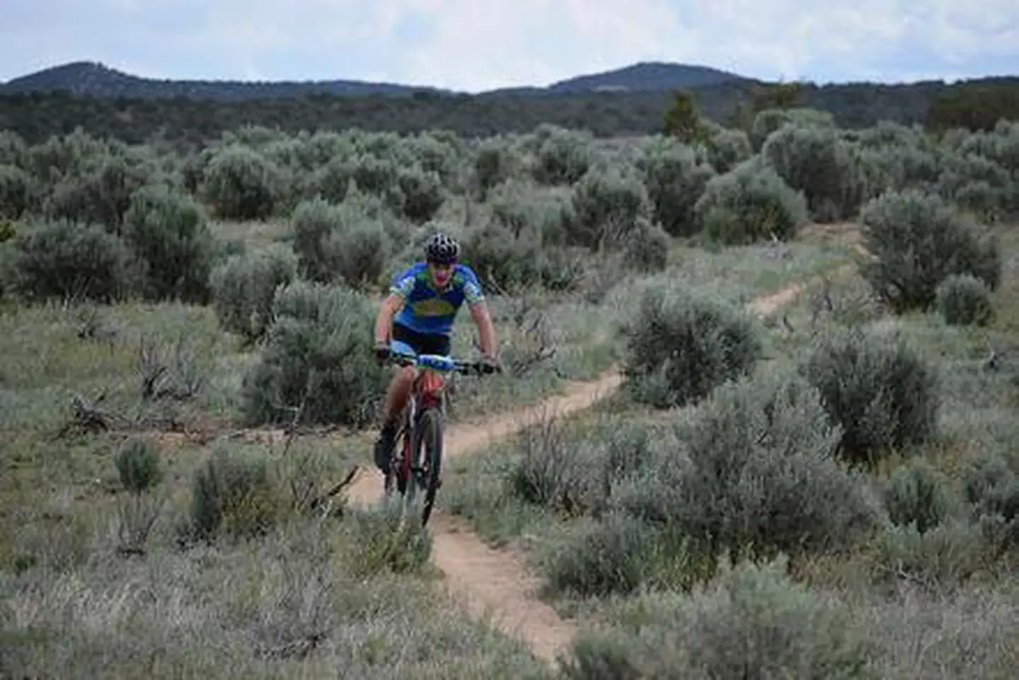
Alien Run Mountain Bike Trail
New Mexico
Nat'l Recreation Area
Park
Alkali Lake OHV Area
New Mexico
Nat'l Recreation Area
Park
Angel Peak Scenic Area
New Mexico
Nat'l Recreation Area
Park
Antelope Wilderness Study Area
New Mexico
Nat'l Recreation Area
Park
Avalon Reservoir
New Mexico
Spot an error in our data on Kilbourne Hole Volcanic Crater?