Nat'l Recreation Area
Official sources & verification
Managed by National Recreation Area
Source of truth
- Agency source page
The page our published rules and notes are derived from.
Managing agency
- National Recreation Area
Find offices, alerts, and current orders for this agency.
Verify by phone or mail
- Operator:505-564-7600
- Email:blm_nm_comments@blm.gov
- Address:NM
About
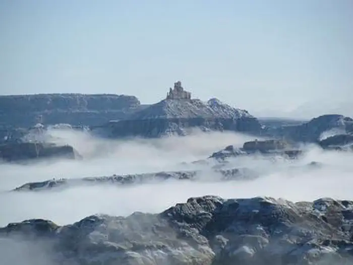
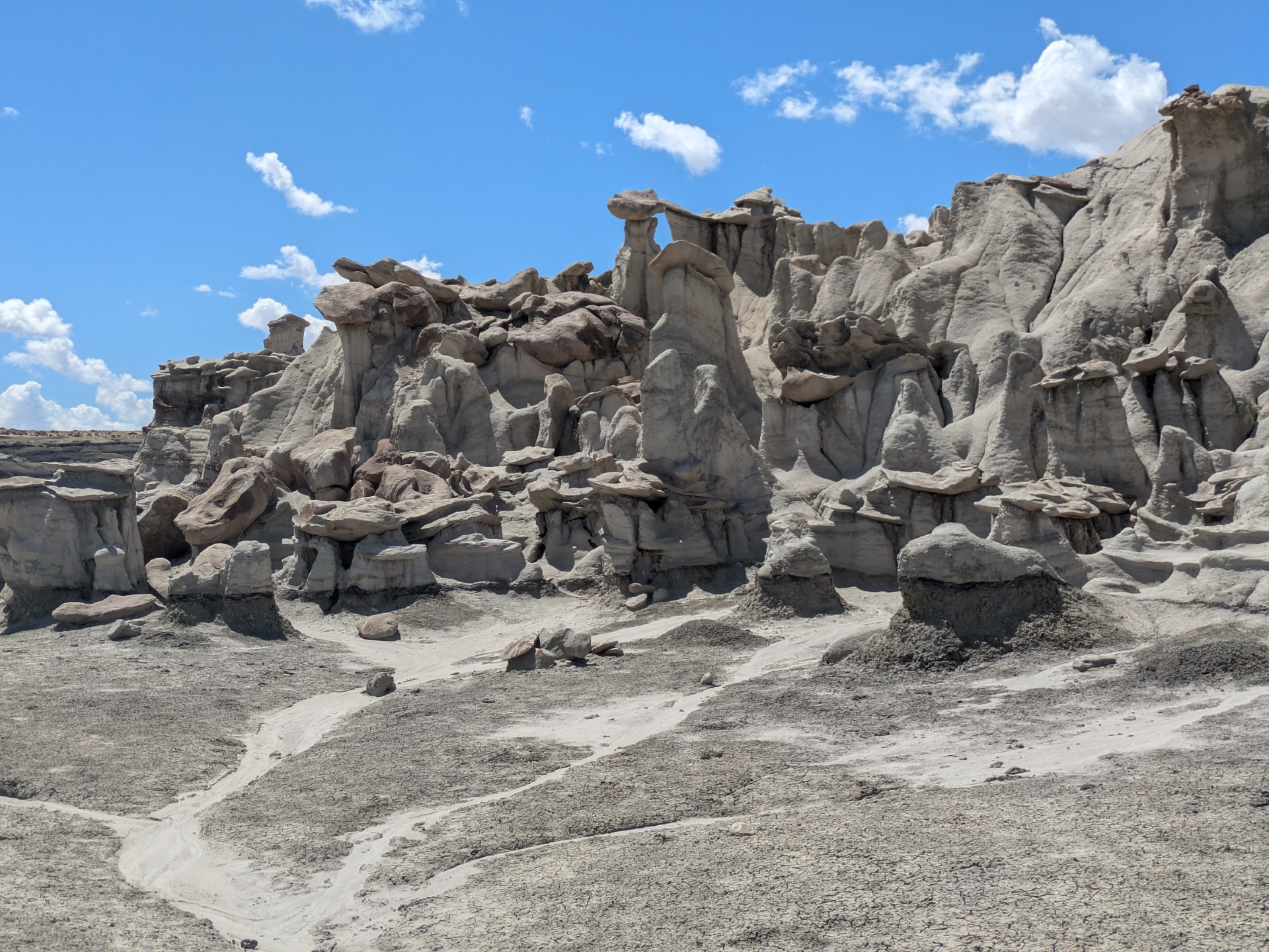
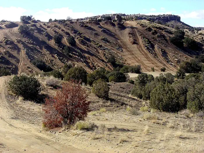
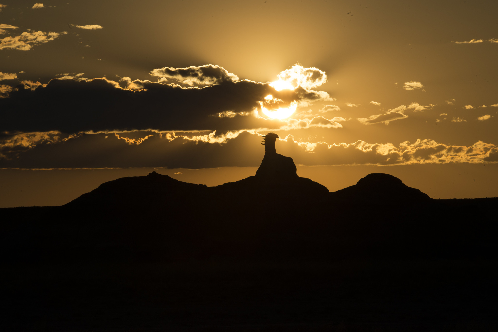
Imported descriptionAngel Peak Scenic Area covers over 10,000 acres of rugged badlands and features dramatic views of Angel Peak—a nearly 7,000-foot sandstone landmark. A short rim trail and interpretive panels allow visitors to explore colorful hoodoos, petrified wood, and mammal fossil remnants eroding from the San Jose and underlying Nacimiento Formations. Picnic areas and a small campground provide a base for hiking, photography, wildlife viewing, and quiet exploration of this geologically and paleontologically rich landscape.Hours and SeasonsThe area is open year-round. Spring and fall offer the most comfortable weather. Summer can bring extreme heat, while winter and wet conditions may make access roads and trails muddy or impassable. Visitors should check local road conditions before visiting and bring plenty of water.Features and ServicesAccess & Parking: Gravel parking available at picnic areas and campground; roads may require high-clearance vehicles when wet. Watch for traffic and heavy trucks associated with oilfield infrastructure.Facilities: Three picnic areas (Sage, Castle Rock, Cliffs) each include shelters, picnic tables on concrete pads, fire grates, gravel paths, and trash cans. Vault restrooms are located at the picnic areas and campground.Cell Service: Minimal to nonexistent; plan for limited connectivity.Pets: Allowed on leash; pet waste should be packed out.Camping: Angel Peak Campground is free and available on a first-come, first-served basis. There are nine tent camping sites, each with picnic tables on a concrete pad, gravel pathways, and fire grates. Picnic shelters are located at three campsites: two single shelters and one with a double shelter suitable for larger groups. One accessible vault toilet and trash receptacles are located in the campground. Please keep vehicles and camping activities within the designated tent sites.Primitive, dispersed camping is also permitted. Please check fire restrictions in advance, follow guidance on posted signs, and respect private property.Nearby Amenities: Bloomfield (~16 miles) and Farmington (~30 miles) provide food, fuel, lodging, and medical services.Respect and ProtectTravelers should practice responsible outdoor ethics, stay within legal access boundaries, and follow BLM regulations for rock collecting. Enjoy exploring, but please do not climb or damage hoodoos or other fragile geological features.Active gas wells also exist in the Angel Peak Scenic Area. Be safe and stay away from well pads, pipelines, and other oilfield equipment.
Source: recreation.gov
From Wikipedia
The Angel Peak Scenic Area is a Bureau of Land Management (BLM) recreation area located about 15 miles south of Bloomfield in San Juan County, New Mexico. The recreation area, which encompasses more than 10,000 acres of rugged terrain, features Angel Peak, colorful badlands and deep canyons.
Source: Wikipedia — text licensed CC BY-SA 4.0. Verify alerts and operational details with the managing agency below.
Reviews
No reviews yet
Be the first to share your experience and help others plan their visit.
Hunting in this park
Hunting is generally prohibited in this National Park Service unit
Verify current park-specific rules with the National Park Service before planning any hunt. See NPS regulations
Within ~100 miles
Parks near Angel Peak Scenic Area

Nat'l Recreation Area
Park
Crow Canyon Petroglyphs
New Mexico
Wilderness Area
Park
Bisti/De-Na-Zin Wilderness Area
New Mexico
Nat'l Recreation Area
Park
Head Canyon OHV Recreation Area
New Mexico
Nat'l Recreation Area
Park
Dunes Off-Highway Vehicle Area
New Mexico
National Monument
Park
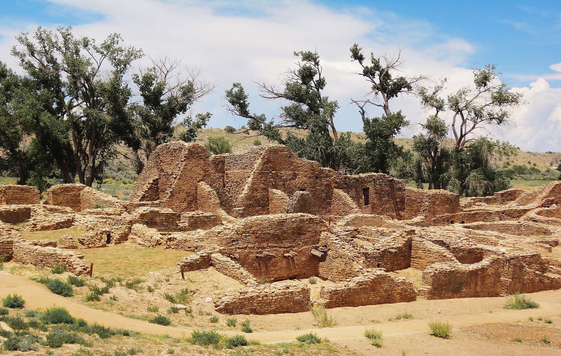
Aztec Ruins National Monument
New Mexico
Nat'l Recreation Area
Park
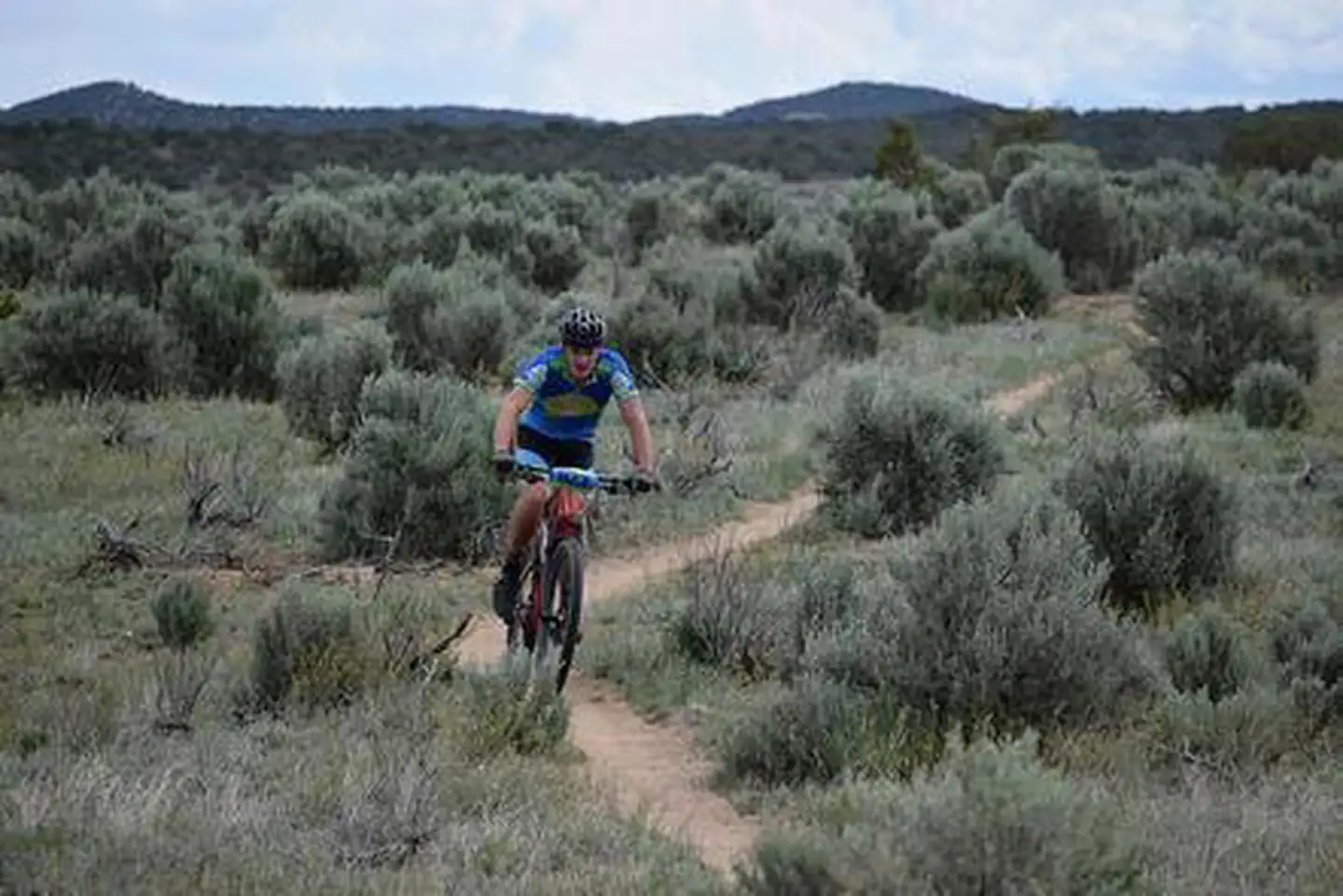
Alien Run Mountain Bike Trail
New Mexico
Same state
More parks in New Mexico
Featured
National Forest
Park
Gila National Forest
New Mexico
5,190 sq mi
Nat'l Recreation Area
Park
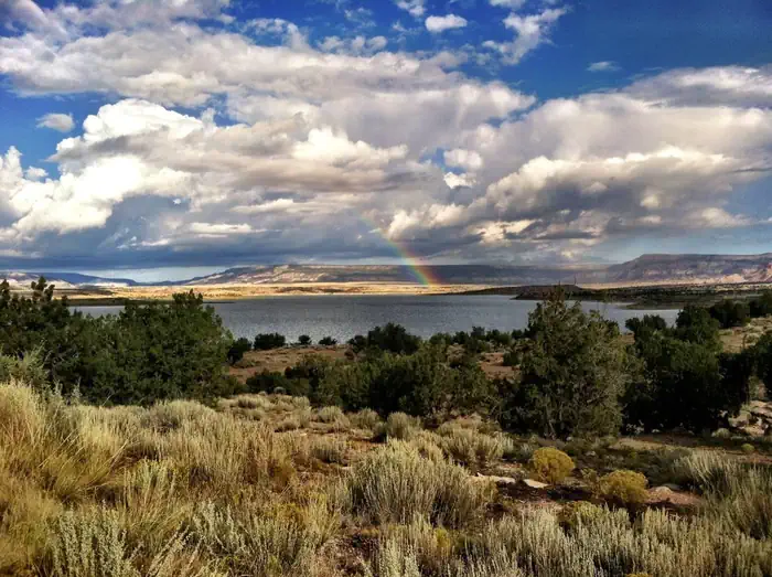
Abiquiu Lake
New Mexico
Nat'l Recreation Area
Park
Aden Hills Off-Highway Vehicle Area
New Mexico
Nat'l Recreation Area
Park
Aden Lava Flow Wilderness
New Mexico
Nat'l Recreation Area
Park
Aden Lava Flow Wilderness Study Area
New Mexico
Nat'l Recreation Area
Park
Ah-Shi-Sle-Pah Wilderness
New Mexico
Nat'l Recreation Area
Park
Alkali Lake OHV Area
New Mexico
Nat'l Recreation Area
Park
Antelope Wilderness Study Area
New Mexico
Spot an error in our data on Angel Peak Scenic Area?