1 / 4
Nat'l Recreation Area
Official sources & verification
Managed by National Recreation Area
Source of truth
- Agency source page
The page our published rules and notes are derived from.
Managing agency
- National Recreation Area
Find offices, alerts, and current orders for this agency.
Verify by phone or mail
- Operator:(509) 237-9722
- Email:iafl_program_manager@nps.gov
- Address:WA
About
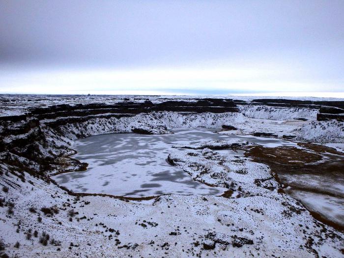
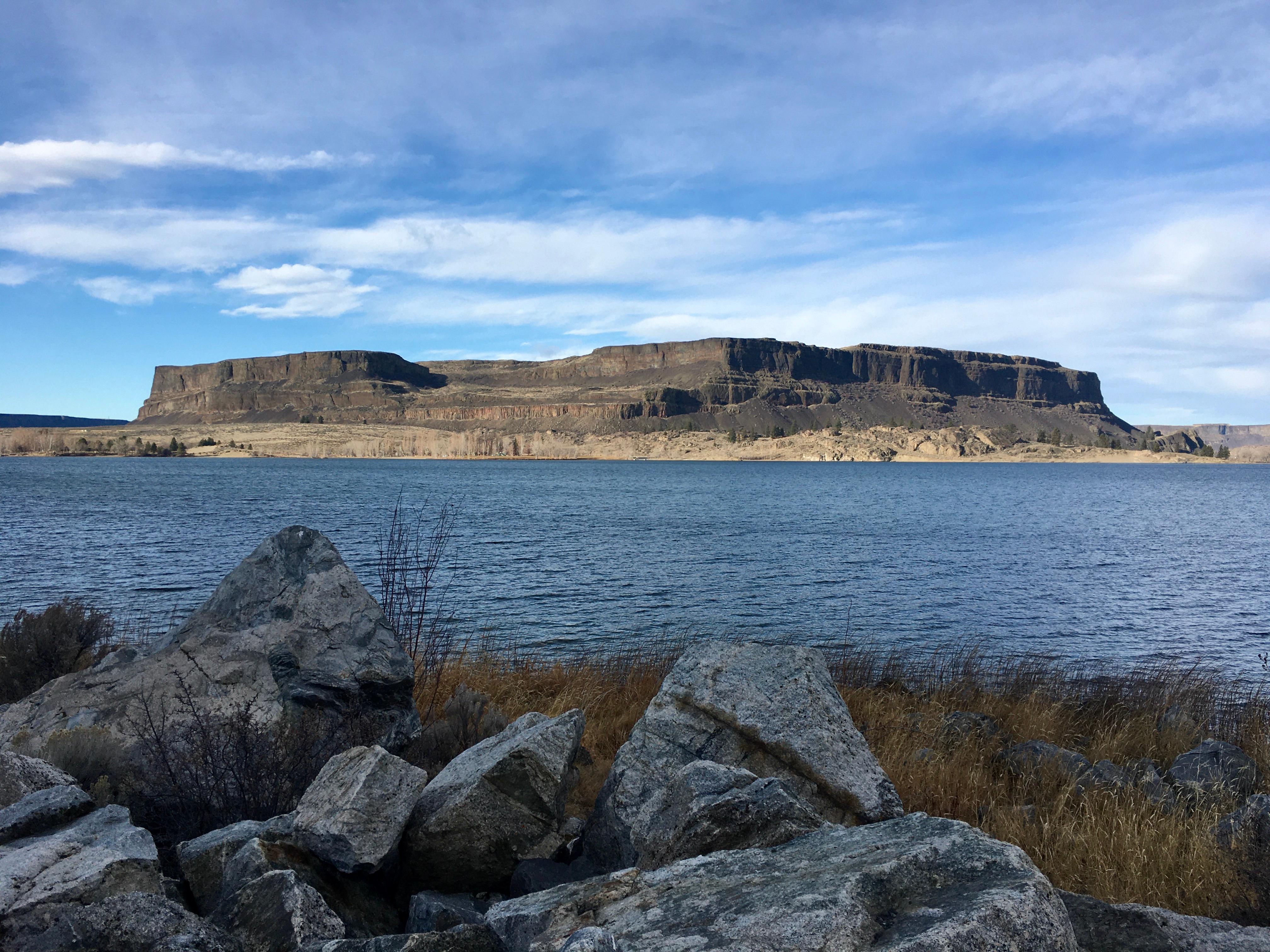
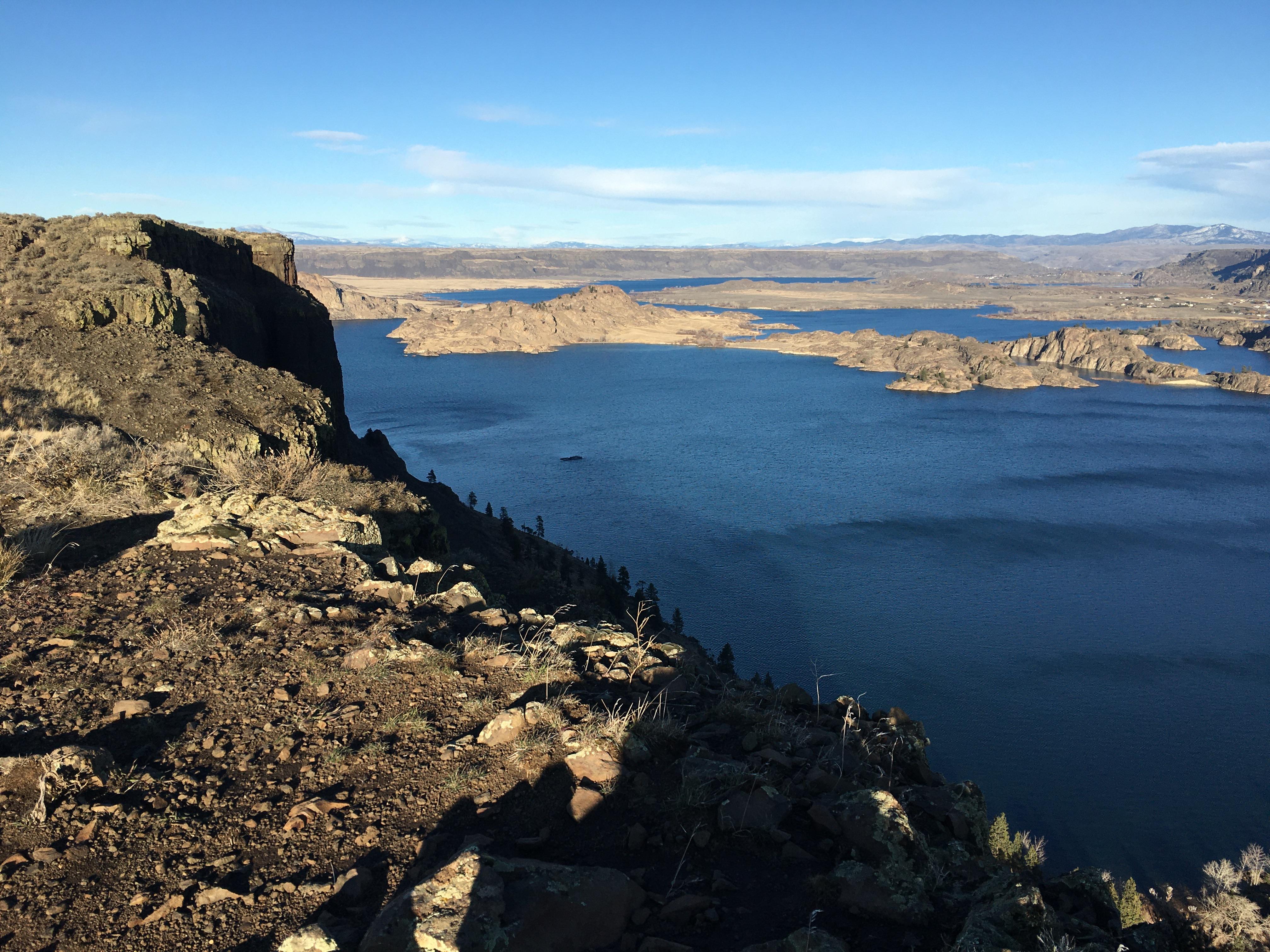
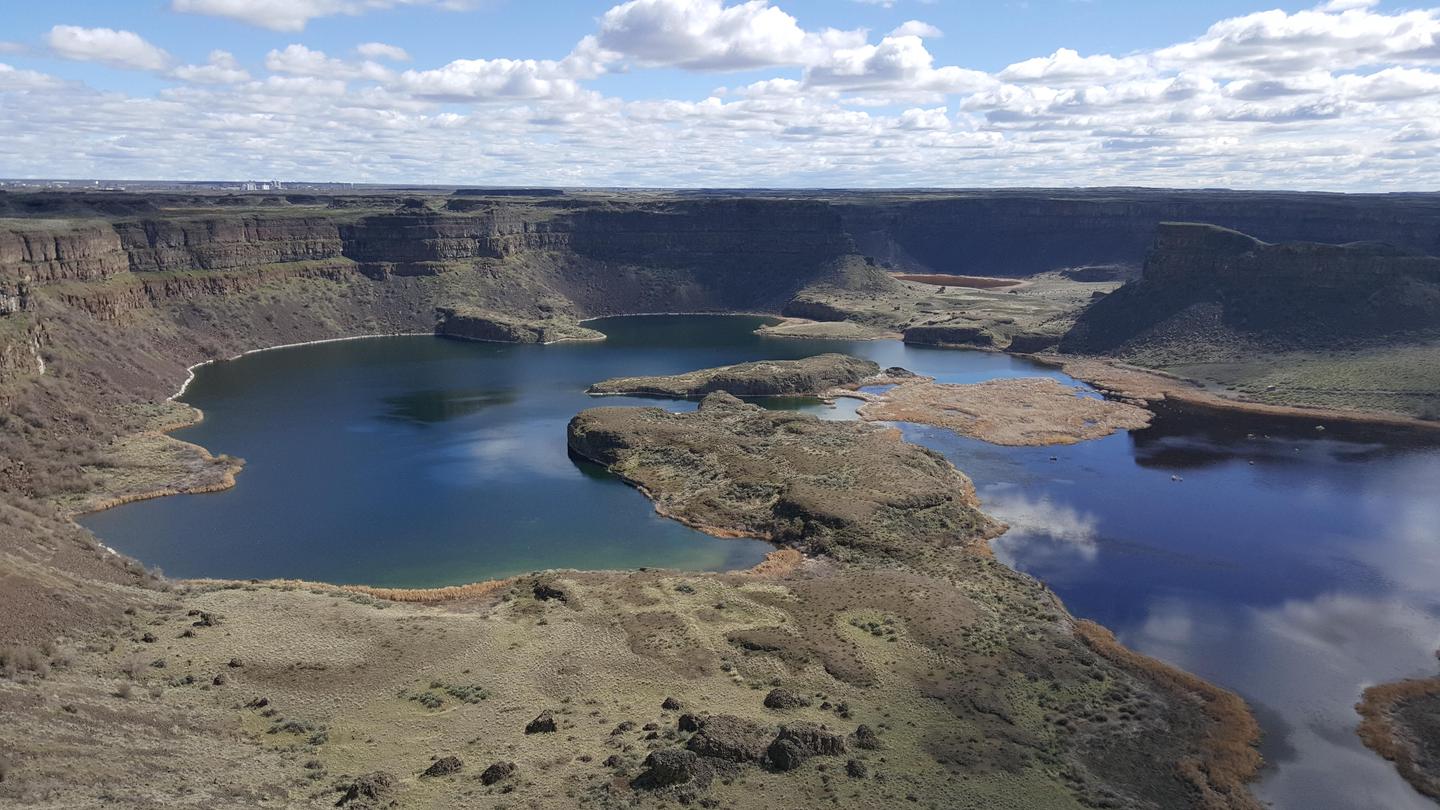
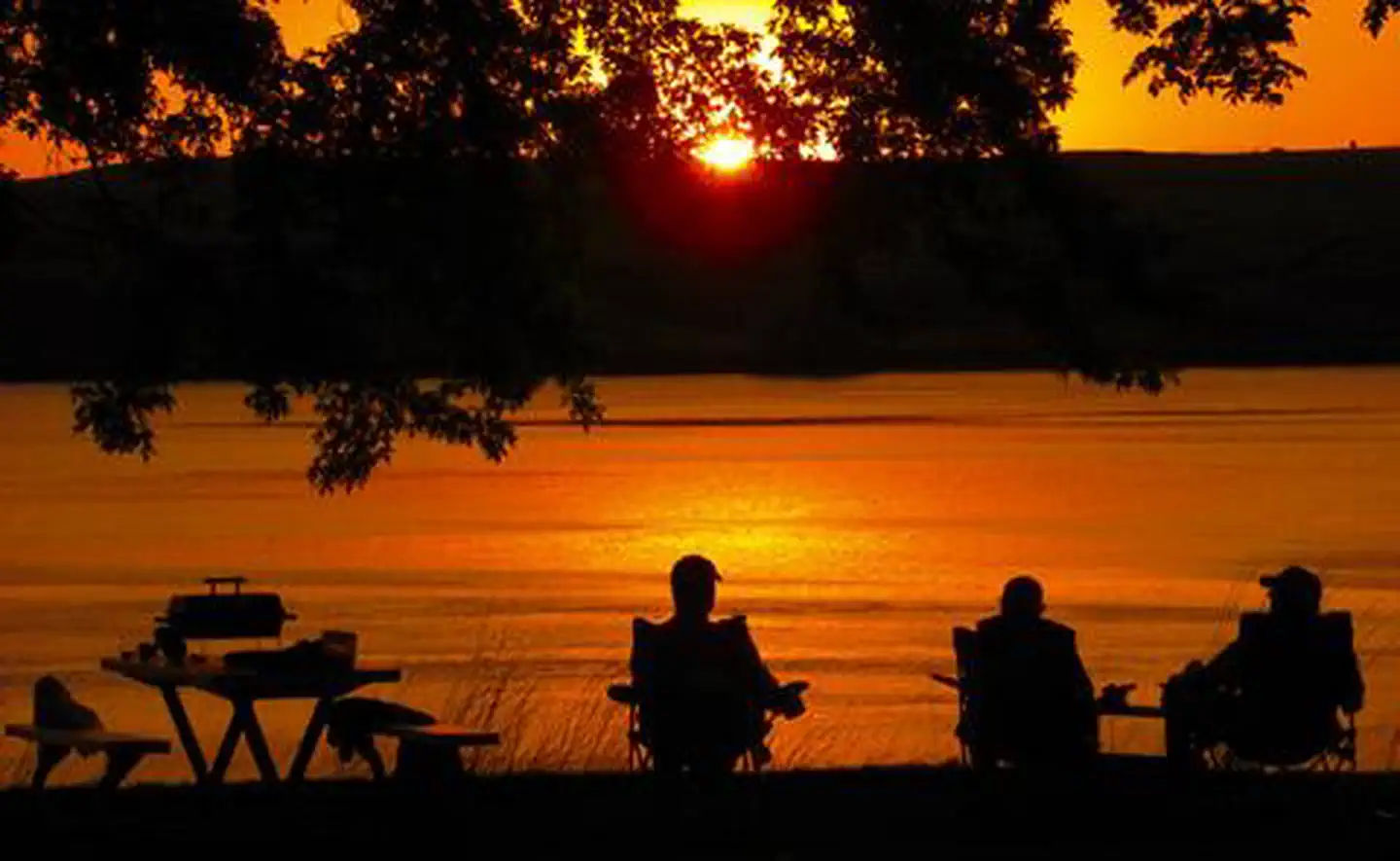
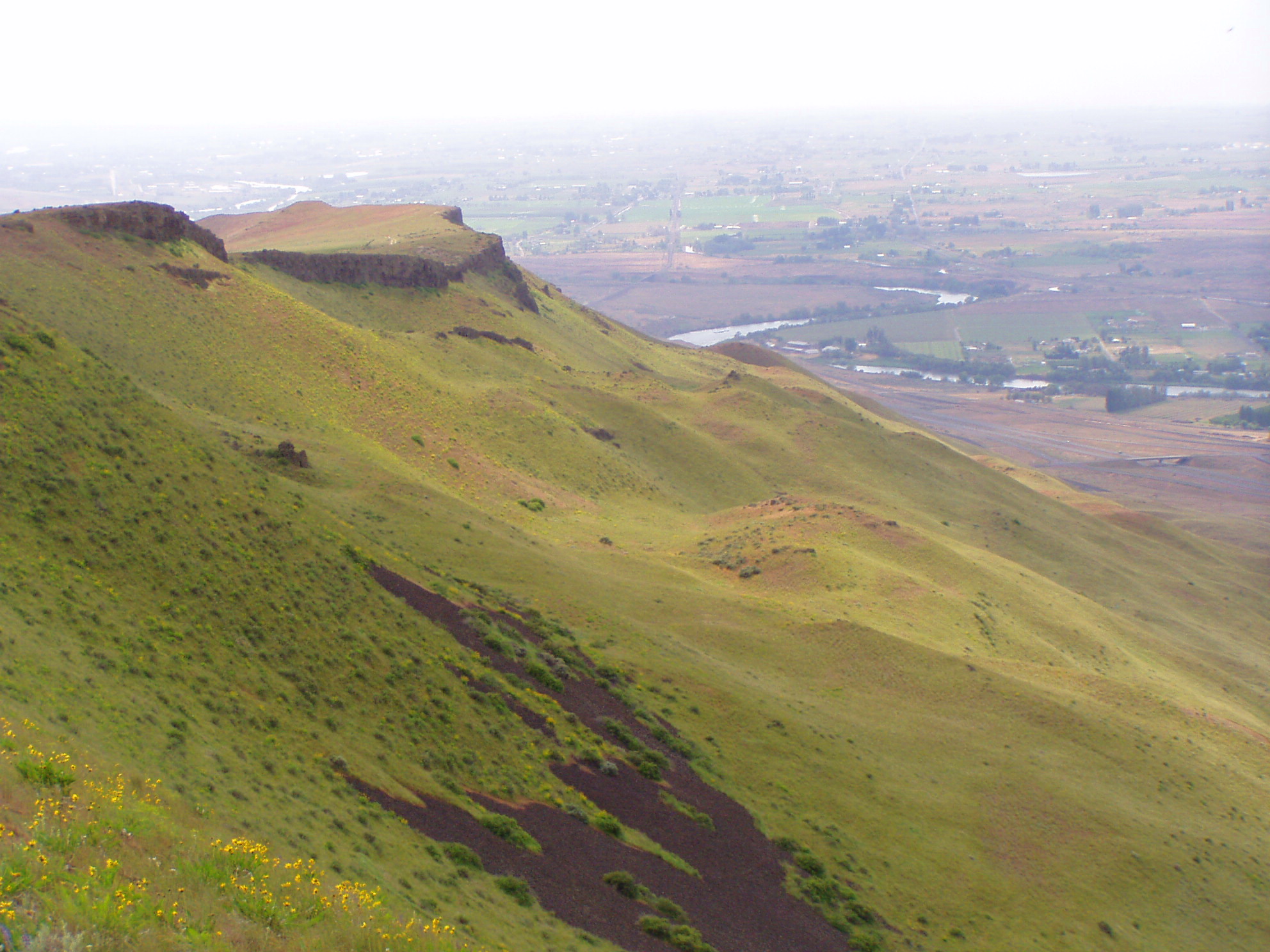
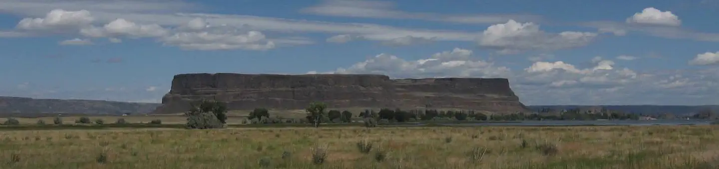
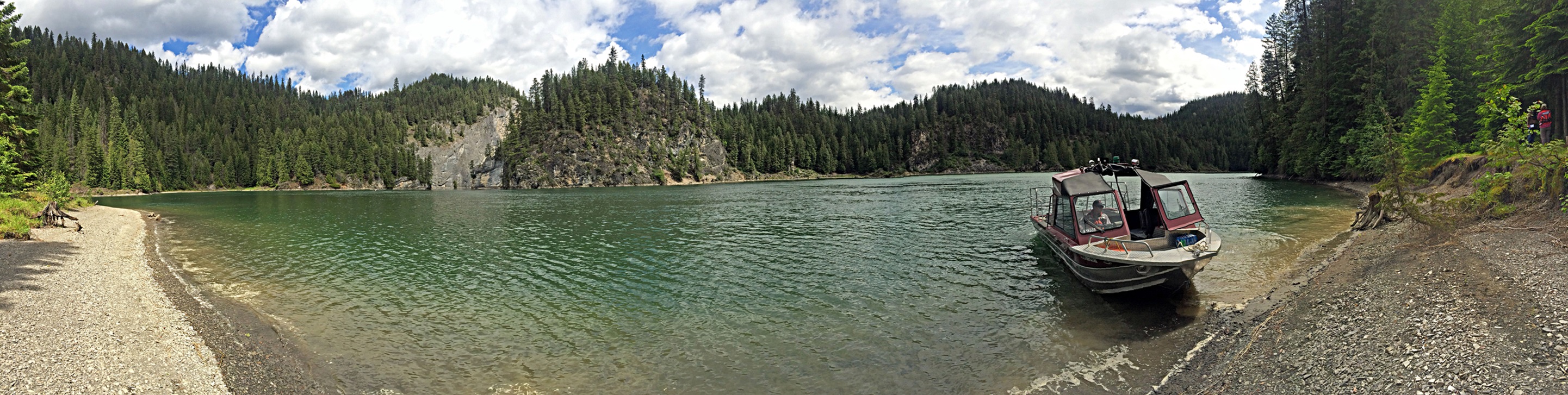
Imported descriptionAt the end of the last Ice Age, 18,000 to 15,000 years ago, an ice dam in northern Idaho created glacial Lake Missoula stretching 3,000 square miles around Missoula, Montana. The dam burst and released flood waters across Washington, down the Columbia River into Oregon before reaching the Pacific ocean. The Ice Age Floods forever changed the lives and landscape of the Pacific Northwest.
Source: recreation.gov
From Wikipedia
The Ice Age Floods National Geologic Trail is a network of routes connecting natural sites and facilities that provide interpretation of the geological consequences of the Glacial Lake Missoula floods of the last glacial period that occurred about 18,000 to 15,000 years ago. It includes sites in Washington, Oregon, Idaho, and Montana. It was designated as the first National Geologic Trail in the United States in 2009.
Source: Wikipedia — text licensed CC BY-SA 4.0. Verify alerts and operational details with the managing agency below.
Reviews
No reviews yet
Be the first to share your experience and help others plan their visit.
Hunting in this park
Hunting is generally prohibited in this National Park Service unit
Verify current park-specific rules with the National Park Service before planning any hunt. See NPS regulations
Within ~100 miles
Parks near Ice Age Floods National Geologic Trail

Nat'l Recreation Area
Park
Lake West
Washington
recreation area
Park
Lake Sacajawea
Washington
wildlife refuge
Park
McNary National Wildlife Refuge
Washington

Nat'l Recreation Area
Park
Columbia National Wildlife Refuge
Washington
Nat'l Recreation Area
Park
Horse Heaven Hills
Washington

wildlife refuge
Park
Saddle Mountain National Wildlife Refuge
Washington
Same state
More parks in Washington

Featured
National Park
Park
Mount Rainier National Park
Washington
369 sq mi

Featured
National Park
Park
Olympic National Park
Washington
1,442 sq mi
Wilderness Area
Park
Alpine Lakes Wilderness
Washington
616 sq mi
Nat'l Recreation Area
Park
Banks Lake
Washington
Nat'l Recreation Area
Park
Bennington Lake
Washington
Nat'l Recreation Area
Park
Billy Clapp Lake
Washington

Nat'l Recreation Area
Park
Billy Frank Jr. Nisqually National Wildlife Refuge
Washington
Nat'l Recreation Area
Park
Boundary Reservoir Recreation Area
Washington
Spot an error in our data on Ice Age Floods National Geologic Trail?