No photos yet
Official sources & verification
Managed by National Recreation Area
Source of truth
- Agency source page
The page our published rules and notes are derived from.
Managing agency
- National Recreation Area
Find offices, alerts, and current orders for this agency.
Verify by phone or mail
- Operator:602-867-5400
- Email:blm_az_pdoweb@blm.gov
- Address:AZ
About
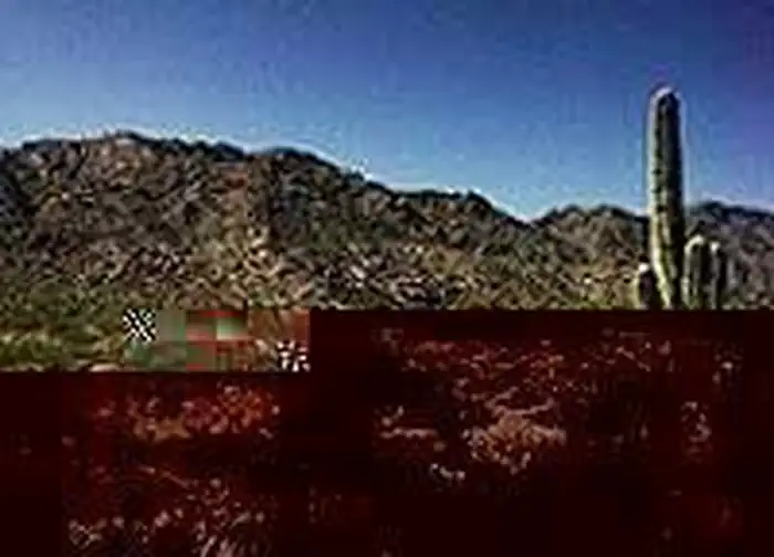
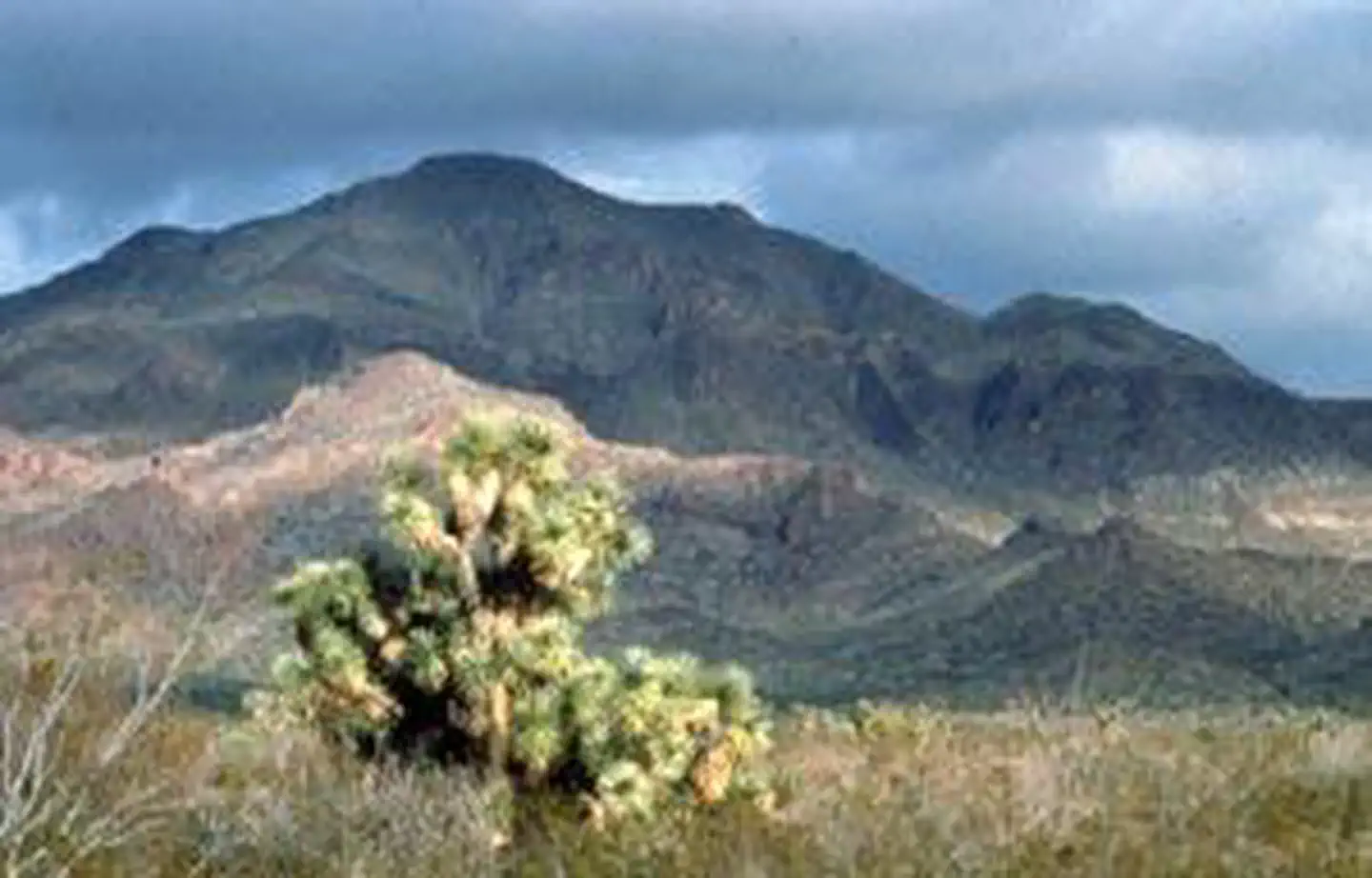
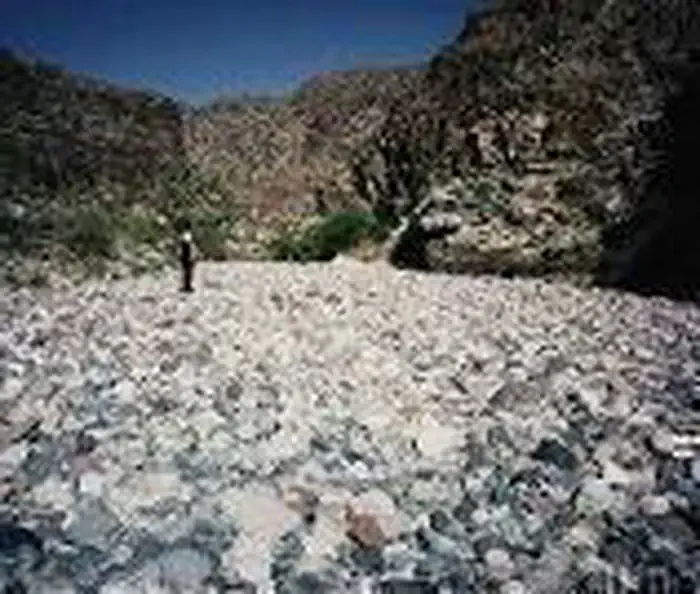
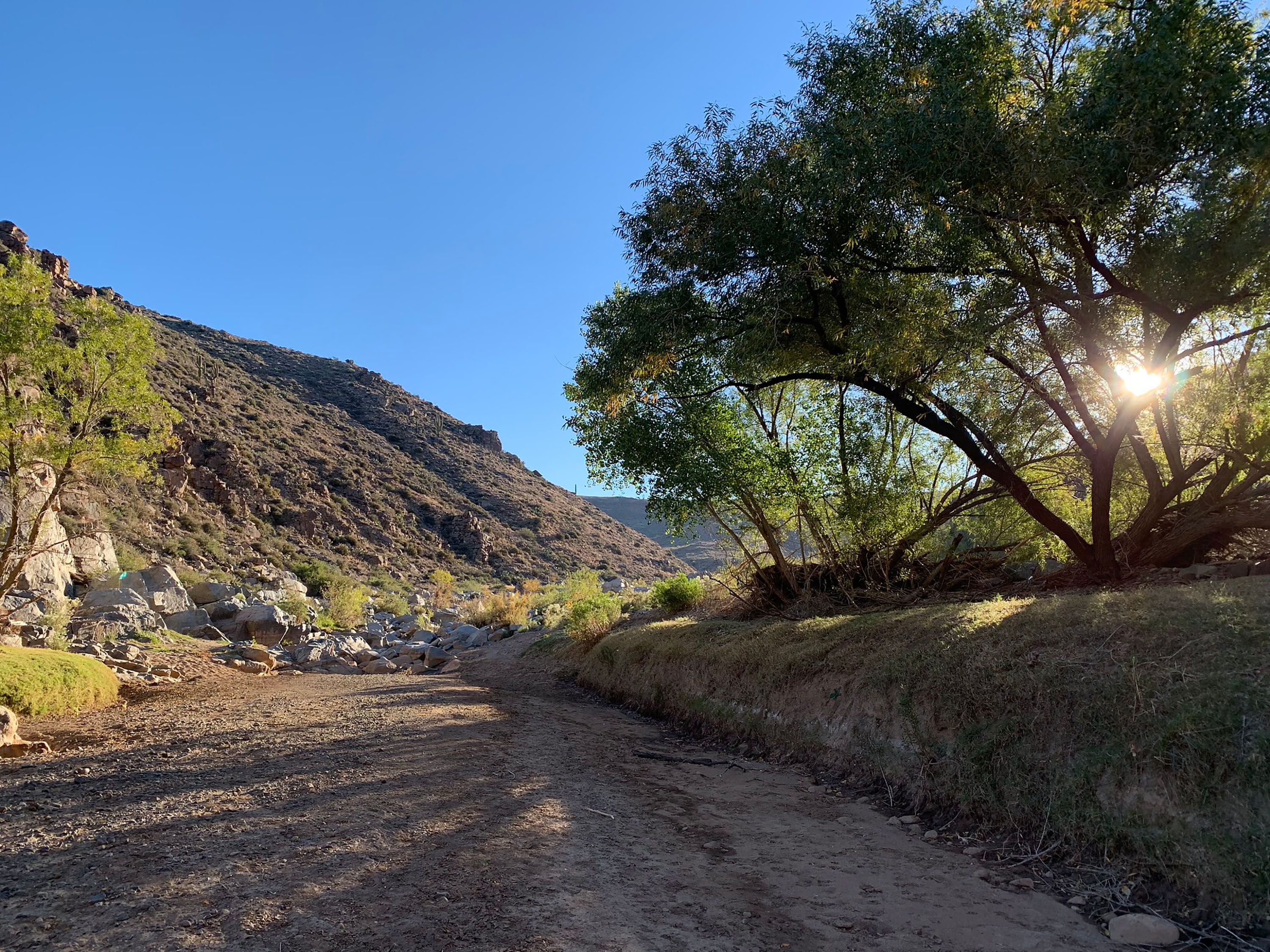
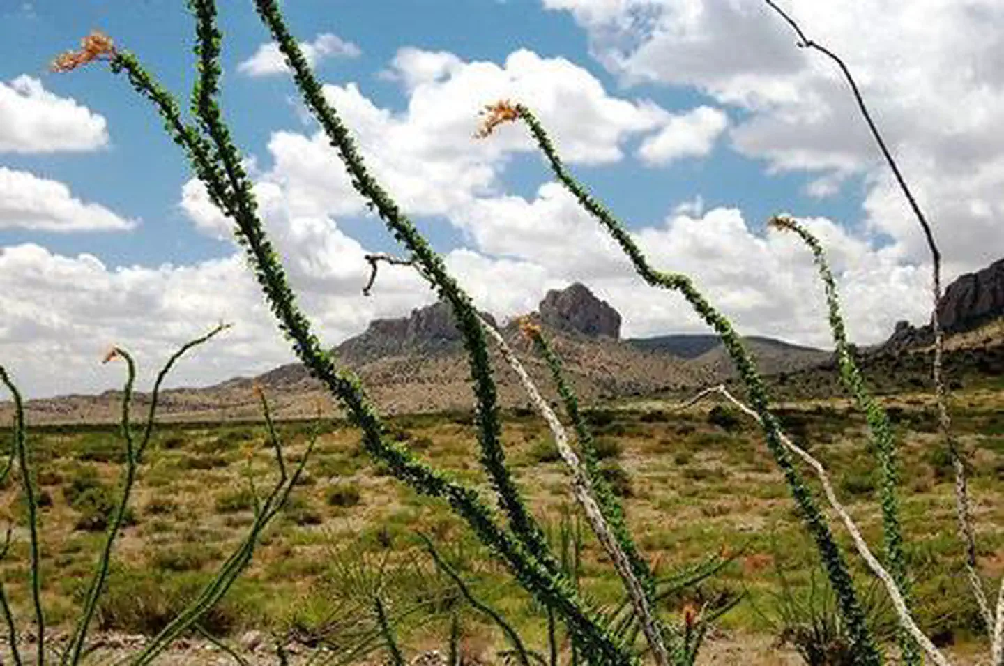
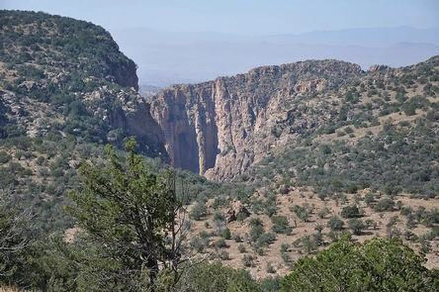
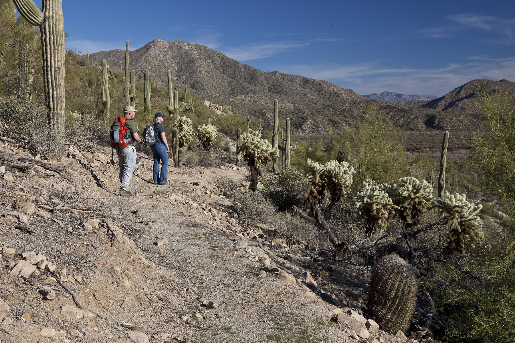
Imported descriptionThe 22,880-acre Harquahala Mountains Wilderness lies in Maricopa and La Paz counties, 80 miles northwest of Phoenix, Arizona.This wilderness contains part of one of western Arizona's largest desert mountain ranges. The 5,691-foot- high Harquahala Peak, the highest point in southwest Arizona, provides a breathtaking panorama of surrounding desert and distant mountain ranges. Different from many Sonoran Desert mountain ranges, the Harquahalas contain a screened interior canyon system. The distinctive ecosystems provide exceptional natural diversity, including a relict "island" of interior chaparral, desert grasslands and rare cactus populations. The area also supports habitat for desert bighorn sheep, mountain lions, desert tortoise, and mule deer populations. The area also supports venomous snakes and the gila monster.Hikers, backpackers, wildlife observers and photographers will find many recreation opportunities here. Hike or horseback ride the 5.4-mile Harquahala pack trail. Rugged topography and the area's sheltered Brown's Canyon interior drainage system furnish the solitude and secluded experience treasured by many wilderness visitors.Know Before You GoPlease follow the regulations in place for this area, and use Leave No Trace techniques when visiting to ensure protection of its unique natural and experiential qualities.Motorized equipment and equipment used for mechanical transport are generally prohibited on all federal lands designated as wilderness. This includes the use of motor vehicles (including OHVs), motorboats, bicycles, hang gliders, wagons, carts, portage wheels, and the landing of aircraft including helicopters Contact the agency for more information about regulations.High-clearance vehicles and four-wheel drive vehicles are required.Some lands around and within the wilderness are not federally administered. Please respect the property rights of the owners and do not cross or use these lands without their permission.
Source: recreation.gov
From Wikipedia
The Harquahala Mountains are the highest mountain range in southwestern Arizona, United States and are located southwest of the towns of Aguila and Wenden. The name originated from the Yavapai 'ʼHakhe:la", which means "running water". The range is oriented from northeast to southwest and is approximately 32 km long and 20 km at its widest point. At the northeast are two prominent peaks, Eagle Eye Peak and Eagle Eye Mountain. One has a natural opening or bridge through it appearing as an eye high up, and is the namesake for the peaks and Aguila. The highest point, Harquahala Peak, rises to 5,681 ft. Socorro Peak, 3270 ft, is at the southwest end of the range.
Source: Wikipedia — text licensed CC BY-SA 4.0. Verify alerts and operational details with the managing agency below.
Reviews
No reviews yet
Be the first to share your experience and help others plan their visit.
Hunting in this park
Hunting is generally prohibited in this National Park Service unit
Verify current park-specific rules with the National Park Service before planning any hunt. See NPS regulations
Within ~100 miles
Parks near Harquahala Mountains Wilderness
Wilderness Area
Park
Harcuvar Mountains Wilderness
Arizona
Nat'l Recreation Area
Park
Hummingbird Springs Wilderness
Arizona
Nat'l Recreation Area
Park
Big Horn Mountains Wilderness
Arizona
Nat'l Recreation Area
Park
Tres Alamos Wilderness
Arizona

Nat'l Recreation Area
Park
Eagletail Mountains Wilderness
Arizona
Wilderness Area
Park
Rawhide Mountains Wilderness
Arizona
Same state
More parks in Arizona

Featured
National Park
Park
Grand Canyon National Park
Arizona
1,878 sq mi
Nat'l Recreation Area
Park
Agua Fria National Monument
Arizona
Nat'l Recreation Area
Park
Alamo Hueco Mountains Wilderness Study Area
Arizona
Nat'l Recreation Area
Park
Alamo Lake
Arizona
Nat'l Recreation Area
Park
Apache Box Wilderness Study Area
Arizona
Nat'l Recreation Area
Park
Apache-Sitgreaves National Forest
Arizona
National Forest
Park
Apache-Sitgreaves National Forests
Arizona
4,313 sq mi
Nat'l Recreation Area
Park
Arizona National Scenic Trail
Arizona
Spot an error in our data on Harquahala Mountains Wilderness?