Nat'l Recreation Area
Official sources & verification
Managed by National Recreation Area
Source of truth
- Agency source page
The page our published rules and notes are derived from.
Managing agency
- National Recreation Area
Find offices, alerts, and current orders for this agency.
Verify by phone or mail
- Operator:(606) 642-3308
- Address:KY
About
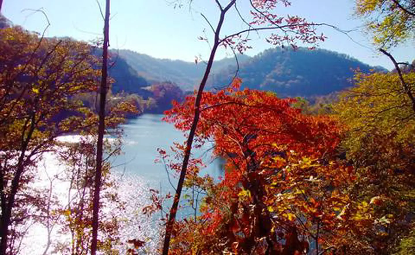
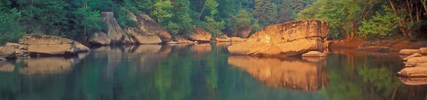
Imported descriptionCarr Creek Lake, KY is located in the mountainous region of southeastern Kentucky, about 16 mile from Hazard and 18 miles from Whitesburg. The dam is located 8.8 miles above the mouth of Carr Fork, a tributary of the North Fork of the Kentucky River. Nearby attractions include Daniel Boone National Forest, Lilley Cornett Woods, Bad Branch Falls Nature Preserve, Red River Gorge Natural Scenic Area, Natural Bridge State Park and Buckhorn Lake.
Source: recreation.gov
From Wikipedia
Carr Creek Lake, located east of Hazard, Kentucky, along Kentucky Route 15 in Knott County, is a 710 acres (3 km2) reservoir created by the U.S. Army Corps of Engineers in 1976. Carr Creek Lake's earth and rock fill dam is 130 ft (40 m) tall and 720 ft (219 m) long, and the dam is located 8.8 mi (14 km) above the mouth of Carr Fork River, a tributary of the North Fork Kentucky River.
Source: Wikipedia — text licensed CC BY-SA 4.0. Verify alerts and operational details with the managing agency below.
Reviews
No reviews yet
Be the first to share your experience and help others plan their visit.
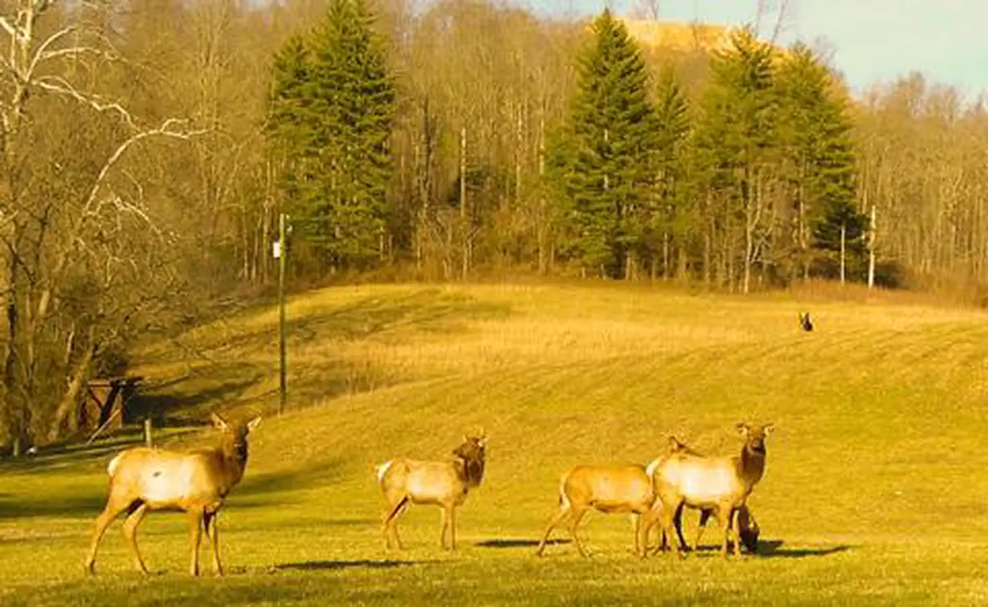
Hunting in this park
Hunting is generally prohibited in this National Park Service unit
Verify current park-specific rules with the National Park Service before planning any hunt. See NPS regulations
Within ~100 miles
Parks near Carr Creek Lake
Nat'l Recreation Area
Park
Buckhorn Lake
Kentucky
Nat'l Recreation Area
Park
North Fork of Pound River Lake
Kentucky

Nat'l Recreation Area
Park
Dewey Lake
Kentucky

Nat'l Recreation Area
Park
Paintsville Lake
Kentucky
Featured
National Forest
Park
Daniel Boone National Forest
Kentucky
1,106 sq mi
National Historical Park
Park
Cumberland Gap National Historical Park
Kentucky
Same state
More parks in Kentucky
National Historical Park
Park
Abraham Lincoln Birthplace National Historical Park
Kentucky

Nat'l Recreation Area
Park
Andrew Johnson National Historic Site
Kentucky
Nat'l Recreation Area
Park
Big Oaks National Wildlife Refuge
Kentucky
recreation area
Park
Big South Fork National River & Recreation Area
Kentucky

Nat'l Recreation Area
Park
Caesar Creek Lake
Kentucky
National Monument
Park
Camp Nelson National Monument
Kentucky

recreation area
Park
Cave Run Lake
Kentucky

Nat'l Recreation Area
Park
Grayson Lake
Kentucky
Spot an error in our data on Carr Creek Lake?