
Nat'l Recreation Area
Official sources & verification
Managed by National Recreation Area
Source of truth
- Agency source page
The page our published rules and notes are derived from.
Managing agency
- National Recreation Area
Find offices, alerts, and current orders for this agency.
Verify by phone or mail
- Operator:(606) 474-5815
- Address:KY
About
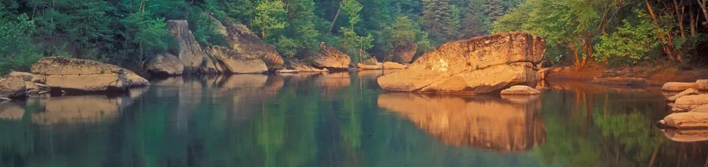
Imported descriptionScenic sandstone rock cliffs rim the lake's 40 miles of shoreline. Hike the many trails and enjoy the wildlife viewing area at the Damsite Recreation Area.
Source: recreation.gov
From Wikipedia
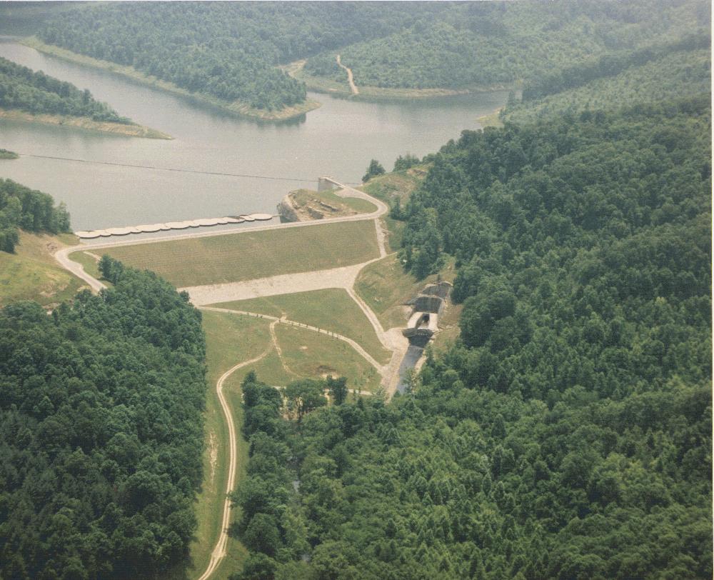
Grayson Lake is a 1,500-acre (6.1 km2) reservoir in Carter and Elliott counties in Kentucky. It was created by the United States Army Corps of Engineers in 1968 by impounding the Little Sandy River with the Grayson Dam, an earthen structure 120 feet (37 m) high, creating a maximum capacity of 118,990 acre-feet (146,770,000 m3). Sections of Kentucky Route 7 were re-routed as a result of the lake's creation. KY 7 now traverses a modern highway stretch around the park, crossing the dam also.
Source: Wikipedia — text licensed CC BY-SA 4.0. Verify alerts and operational details with the managing agency below.
Reviews
No reviews yet
Be the first to share your experience and help others plan their visit.
Hunting in this park
Hunting is generally prohibited in this National Park Service unit
Verify current park-specific rules with the National Park Service before planning any hunt. See NPS regulations
Within ~100 miles
Parks near Grayson Lake


Same state
More parks in Kentucky
Featured
National Forest
Park
Daniel Boone National Forest
Kentucky
1,106 sq mi
National Historical Park
Park
Abraham Lincoln Birthplace National Historical Park
Kentucky

Nat'l Recreation Area
Park
Andrew Johnson National Historic Site
Kentucky
Nat'l Recreation Area
Park
Big Oaks National Wildlife Refuge
Kentucky
recreation area
Park
Big South Fork National River & Recreation Area
Kentucky
Nat'l Recreation Area
Park
Buckhorn Lake
Kentucky

Nat'l Recreation Area
Park
Caesar Creek Lake
Kentucky
Nat'l Recreation Area
Park
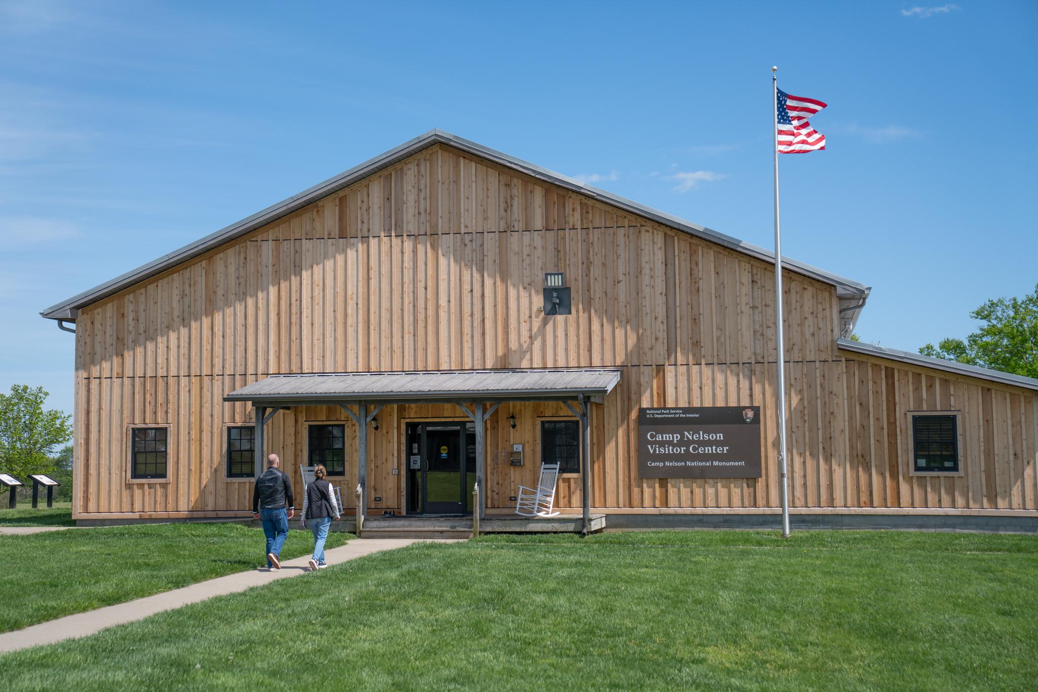
Camp Nelson National Monument
Kentucky
Spot an error in our data on Grayson Lake?