No photos yet
Official sources & verification
Managed by National Recreation Area
Managing agency
- National Recreation Area
Find offices, alerts, and current orders for this agency.
Verify by phone or mail
- Operator:(870) 439-2502
- Email:buff_information@nps.gov
About
The Buffalo National River, in Northern Arkansas, was the first National River to be designated in the United States. The Buffalo River is 153 miles (246 km) long. The lower 135 miles (217 km) flow within the boundaries of an area managed by the National Park Service, where the stream is designated the Buffalo National River. The river flows through Newton, Searcy, Marion, and Baxter Counties, from west to east. The river originates in the highest part of the Boston Mountains of the Ozarks, flows out onto the Springfield Plateau near the historic community of Erbie, and finally crosses a portion of the Salem Plateau just before joining the White River. The Park is home to the state's only elk herd. The upper section of the river in the Ozark National Forest is managed by the U.S. Forest Service and is designated as a National Scenic River and a National Wild River.
Source: Wikipedia — text licensed CC BY-SA 4.0. Verify alerts and operational details with the managing agency below.
Reviews
No reviews yet
Be the first to share your experience and help others plan their visit.
Hunting in this park
Hunting is generally prohibited in this National Park Service unit
Verify current park-specific rules with the National Park Service before planning any hunt. See NPS regulations
Within ~100 miles
Parks near Buffalo National River
Ozark-St. Francis National Forests
Arkansas
1,910 sq mi
ParkNational Forest
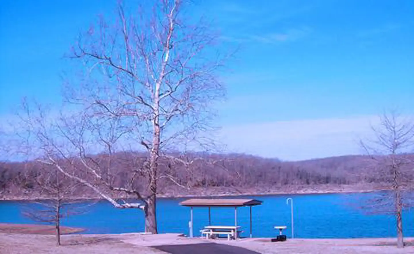
Bull Shoals Lake
Arkansas
ParkNat'l Recreation Area
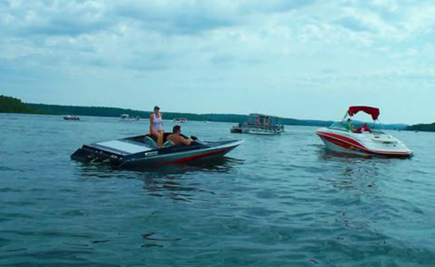
Norfork Lake
Arkansas
ParkNat'l Recreation Area
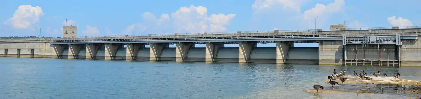
Table Rock Lake
Missouri
ParkNat'l Recreation Area
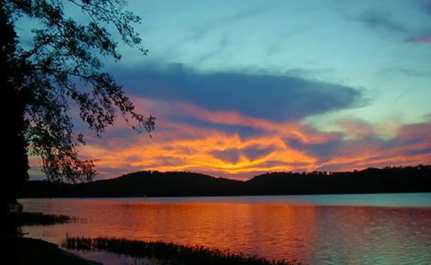
Dardanelle Lake
Arkansas
ParkNat'l Recreation Area
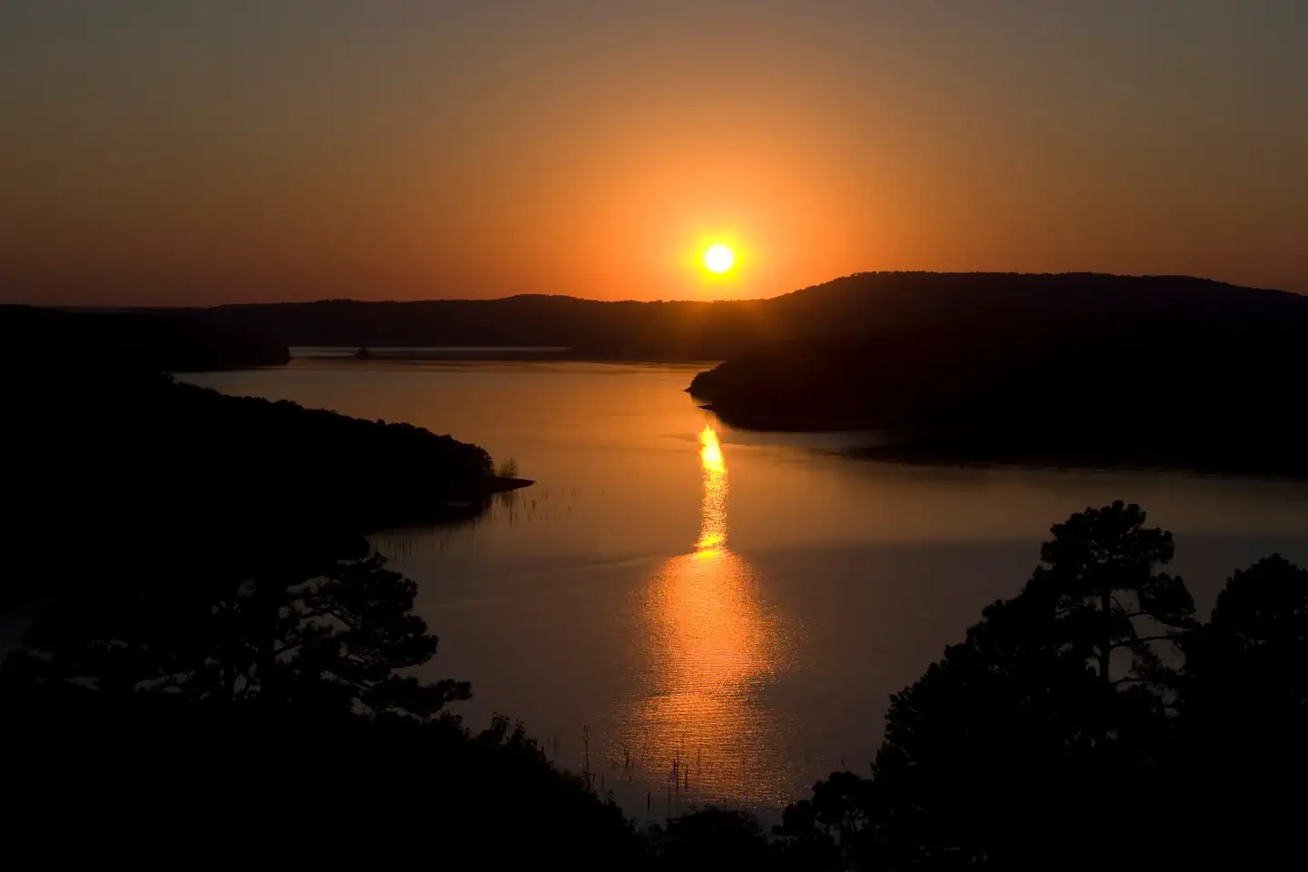
Beaver Lake
Arkansas
ParkNat'l Recreation Area
Spot an error in our data on Buffalo National River?