
Nat'l Recreation Area
Official sources & verification
Managed by National Recreation Area
Source of truth
- Agency source page
The page our published rules and notes are derived from.
Managing agency
- National Recreation Area
Find offices, alerts, and current orders for this agency.
Verify by phone or mail
- Operator:(928) 505-1200
- Email:BLM_AZ_LHFOWeb@blm.gov
- Address:AZ
About
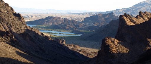
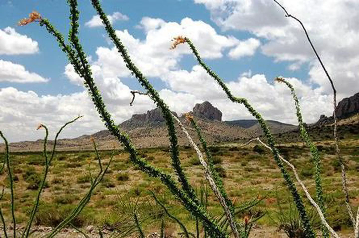
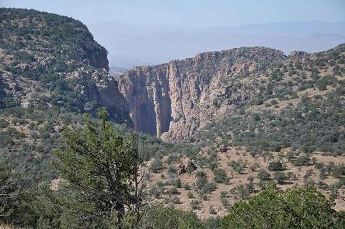
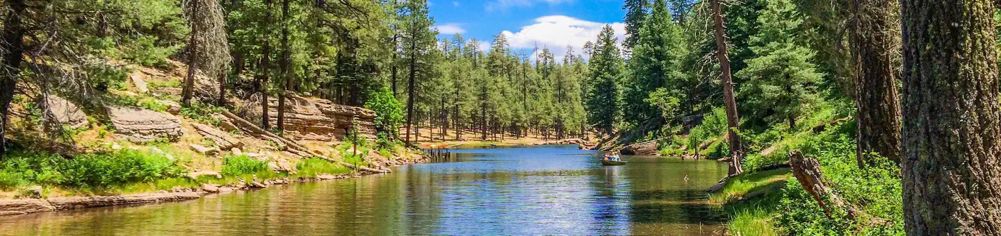
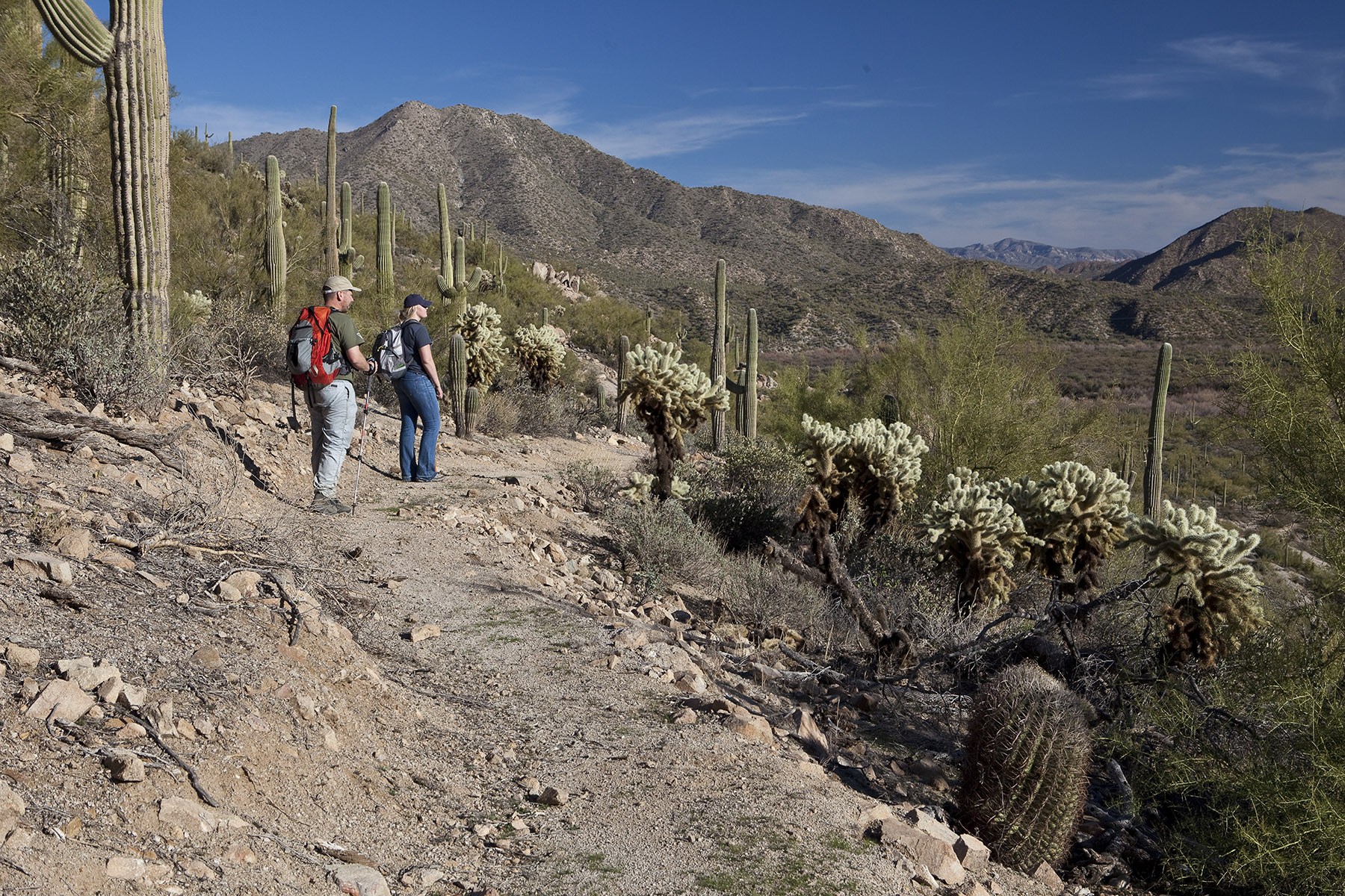
Imported descriptionThe Bill Williams River provides habitat for fish and wildlife, clean water, forage, and recreational opportunities such as fishing, kayaking, rafting, and hiking. The river is historically unique to this section of the Lower Colorado River as a major tributary that was used as a travel corridor by Native Americans, European explorers, and early settlers.Six state and federal agencies have worked together since 1992 to manage the Bill Williams River's outstanding riparian, wildlife, recreational, and fisheries resources. The river system provides habitat for both migratory and resident birds as well as local wildlife which includes bighorn sheep, deer, coyotes, javelina, ring-tail cats, foxes, and more. Aquatic life includes macroinvertebrates, amphibians, and fish. Turtles, beavers, muskrats, and raccoons frolic beneath the cottonwood and willow trees along the riverbanks. Three segments of the Bill Williams River totaling 21.1 miles have been determined suitable for inclusion in the National Wild & Scenic Rivers System. These segments possess outstandingly remarkable scenic, recreational, fish, and wildlife values.
Source: recreation.gov
From Wikipedia
The Bill Williams River is a 46.3-mile-long (74.5 km) river in west-central Arizona where it, along with one of its tributaries, the Santa Maria River, form the boundary between Mohave County to the north and La Paz County to the south. It is a major drainage westwards into the Colorado River of the Lower Colorado River Valley south of Hoover Dam and Lake Mead, and the drainage basin covers portions of northwest, and west-central Arizona. The equivalent drainage system paralleling the east–west lower reaches of the Bill Williams is the Gila River, which flows east-to-west across central Arizona, joining the Colorado River in the southwest at Yuma. The confluence of the Bill Williams River with the Colorado is north of Parker, and south of Lake Havasu City.
Source: Wikipedia — text licensed CC BY-SA 4.0. Verify alerts and operational details with the managing agency below.
Reviews
No reviews yet
Be the first to share your experience and help others plan their visit.
Hunting in this park
Hunting is generally prohibited in this National Park Service unit
Verify current park-specific rules with the National Park Service before planning any hunt. See NPS regulations
Within ~100 miles
Parks near Bill Williams River

recreation area
Park
Lake Havasu
Arizona
Nat'l Recreation Area
Park
Havasu National Wildlife Refuge
Arizona

wildlife refuge
Park
Bill Williams River National Wildlife Refuge
Arizona
Nat'l Recreation Area
Park
Parker Strip Recreation Area
Arizona
Nat'l Recreation Area
Park
Copper Basin Dunes OHV Area
Arizona
Nat'l Recreation Area
Park
Crossroads OHV Area
Arizona
Same state
More parks in Arizona

Featured
National Park
Park
Grand Canyon National Park
Arizona
1,878 sq mi

Nat'l Recreation Area
Park
Agua Fria National Monument
Arizona
Nat'l Recreation Area
Park
Alamo Hueco Mountains Wilderness Study Area
Arizona
Nat'l Recreation Area
Park
Alamo Lake
Arizona
Nat'l Recreation Area
Park
Apache Box Wilderness Study Area
Arizona
Nat'l Recreation Area
Park
Apache-Sitgreaves National Forest
Arizona
National Forest
Park
Apache-Sitgreaves National Forests
Arizona
4,313 sq mi
Nat'l Recreation Area
Park
Arizona National Scenic Trail
Arizona
Spot an error in our data on Bill Williams River?