State Park
Upper Lake Recreation Area
Potter Valley, CA
Pricing varies — check with the operator
Verify with the state park system
State parks set their own rules and reservation systems. Fire bans, road closures, and operating dates change seasonally — check the state park website before traveling.
Pricing
Pricing varies — check with the operator0.0
0 Reviews
Official sources & verification
Managed by State Park
Verify by phone or mail
- Address:Potter Valley, CA
About
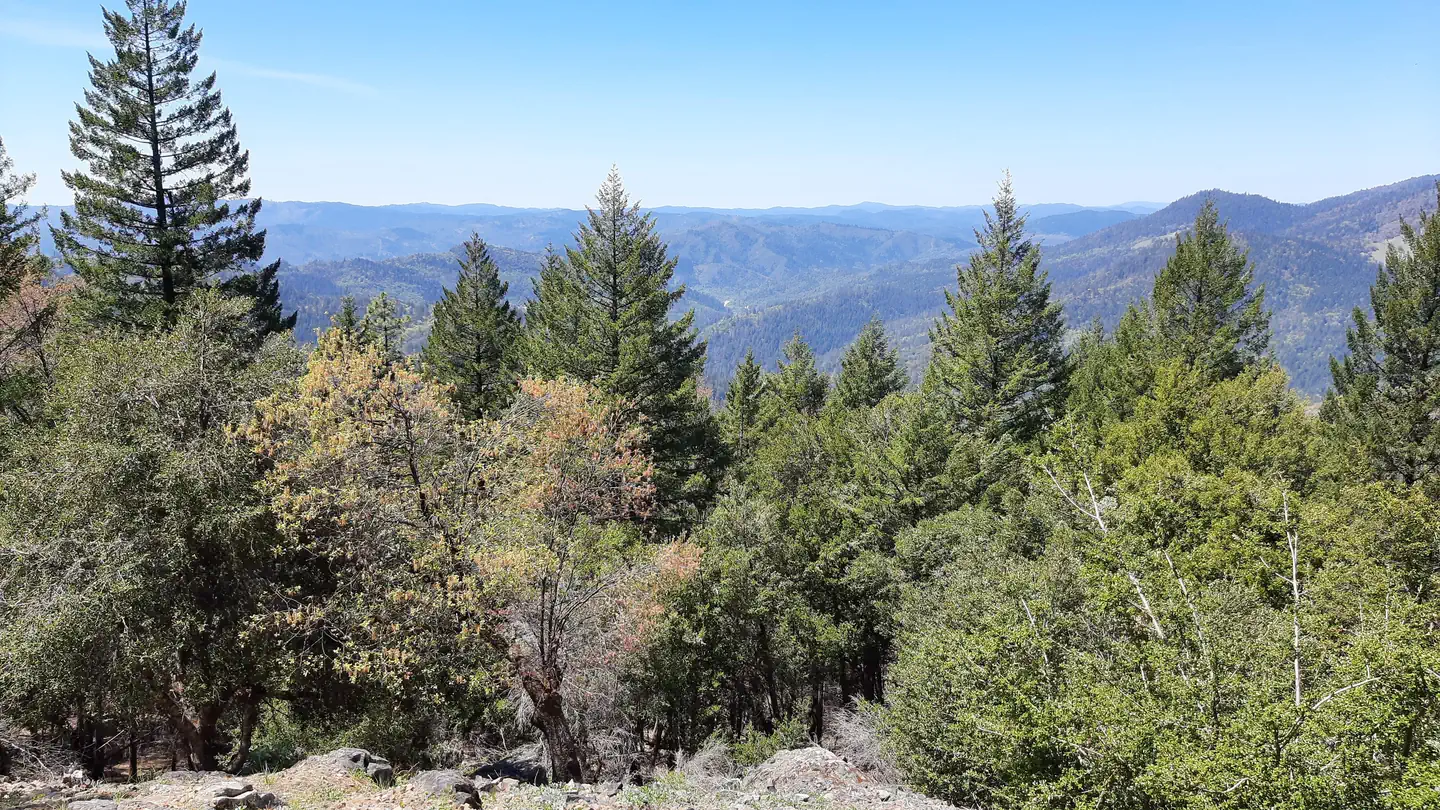
The Upper Lake Ranger District's OHV area (South) offers over 135 miles of system trails and roads traversing through beautiful scenery and challenging terrain. The riding area varies in elevation from 1,600 feet at Middle Creek campground/staging area, to over 4,500 feet at Hull Mountain to the north. The trails range in degree of difficulty from novice to advanced. Due to the nature of the topography on the Upper Lake District Middle Creek Campground is recommended for families with children or beginning riders so they may enjoy the "play area", while adults or intermediate/advanced riders access the trails up out of the East Fork of Middle Creek. If you seek a family riding experience with easy access to all trails ranging in difficulty level from novice to advanced, Penny Pines or Deer Valley Campgrounds are much more desirable. The basin is closed annually from May 18 through September 8 to OHV use. During this closure you are welcome to truck your bikes out of the basin and ride the trails (North). There are approximately 33 miles of trail. Many of the trails in this area are 4WD trails. It is prohibited to operate or use a vehicle (two wheel, three wheel, or four wheel) off a forest developed road in this area. (36 CFR 261.56) It is prohibited to use any two wheel, three wheel, or four wheel vehicle, not meeting California Vehicle Code (Sections 360 and 4000 (a) CVC), for highway operation on forest developed roads in the above described area. (36 CFR 261.54a) The boundary runs generally North from Scott Dam along Road 20N01 to Coyote Rock then easterly along the southern base of Boardman Ridge to Big Squaw Valley, then southwest to the US Forest Service Summer Home Tract, then southeast to Thistle Glade, then westerly to Rice Fork Summer Homes, then southwest to Split Rock, then northeast to Scott Dam. Low Resolution Map of Upper Lake North OHV Area (pdf 1.08mb) Low Resolution Map of Upper Lake South OHV Area (pdf 968kb)
Reviews
No reviews yet
Be the first to share your experience and help others plan their visit.
Pet Policy
No pets allowed
Campground Rules
- No campfires allowed
Within ~30 miles
Trails near Upper Lake Recreation Area
Trail
Snow Mountain via Deafy Glade Trail
California
15.4 mi5,417 ftgain
Expert
Trail
Bartlett Springs OHV Road
California
30.3 mi6,227 ftgain
Easy
Trail
Shakota Trail (Northbound)
California
4.7 mi1,348 ftgain
Moderate
Trail
Lake Mendocino
California
12.6 mi2,887 ftgain
Expert
Trail
Valley View Trail
California
7.0 mi2,490 ftgain
Difficult
Trail
Cow Mountain OHV Trail
California
26.5 mi5,587 ftgain
Expert
Hunt context
Hunting units around this campground
During hunting seasons, wear blaze orange and check regulations — see the California hunting page
Nearby Campgrounds

Spot an error in our data on Upper Lake Recreation Area?