National Forest
Pisgah National Forest
Barnardsville, NC
Pricing varies — check with the operator
Verify with the local Forest Service ranger district
Forest Service campgrounds vary by district. Fire restrictions, road conditions, and operating dates are set locally and change seasonally. Call the ranger district to confirm.
Pricing
Pricing varies — check with the operator0.0
0 Reviews
Official sources & verification
Managed by US Forest Service
Managing agency
- US Forest Service
Find offices, alerts, and current orders for this agency.
Verify by phone or mail
- Address:Barnardsville, NC
About
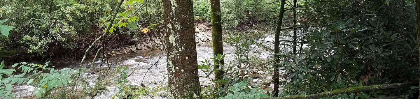
The Pisgah National Forest is a land of mile-high peaks, cascading waterfalls, and heavily forested slopes. Comprised of over 500,000 acres, the Pisgah is primarily a hardwood forest with whitewater rivers, waterfalls and hundreds of miles of trails. This national forest is home of the first tract of land purchased under the Weeks Act of 1911 which led to the creation of the national forests in the eastern United States. It is also home of the first school of forestry in the United States, now preserved at the Cradle of Forestry in America historic site, and boasts two of the first designated wilderness areas in the east. The Pisgah, Grandfather and Appalachian Ranger Districts are scattered along the eastern edge of the mountains of western North Carolina and offer visitors a variety of opportunities for outdoor recreation and enjoying the natural beauty of the mountains.
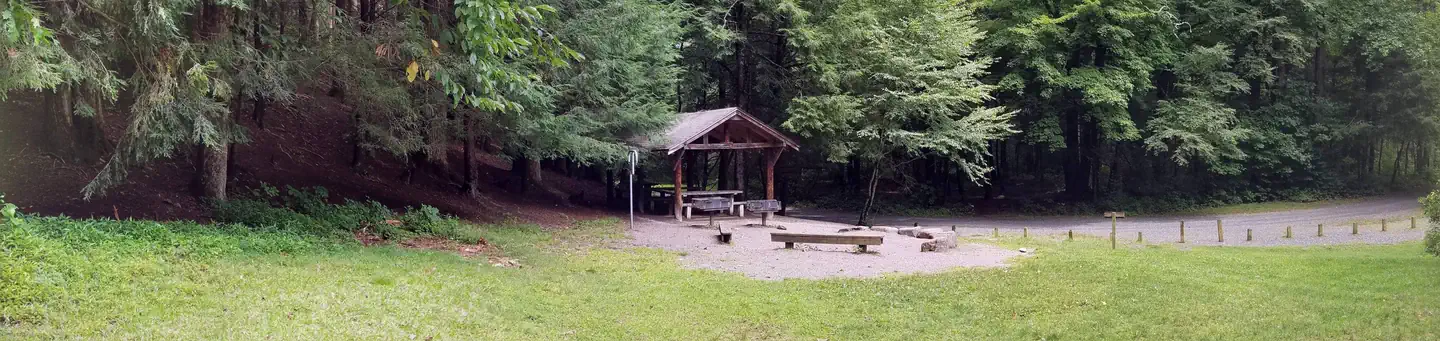
Camping and Day-use Information
Enjoy camping or a picnic at one of the many day-use areas. A list of camping and day-use areas in the Pisgah National Forest can be found here
Recreation Maps
Nantahala & Pisgah National Forest Maps
Directions to Frequently Requested Places
NC Arobretum and Bent Creek Area
Blue Ridge Parkway South
Blue Ridge Parkway North
Pisgah Ranger District
Cradle of Forestry
Cradle of Forestry (Scenic Route)
The Biltmore House
Mt. Mitchell
Be Safe
The national forests in North Carolina offer a wide variety of outdoor recreation opportunities. From the mountains to the sea, there are many exciting adventures awaiting your visit to these national forests. Please keep in mind that all outdoor recreational activities on the Croatan, Pisgah, Nantahala and Uwharrie national forests, including activities at recreation sites, have inherent risks due to the natural setting in which they occur. Always remember, your safety is your responsibility.
Waterfall Safety for the Summer.
Reviews
No reviews yet
Be the first to share your experience and help others plan their visit.
Pet Policy
No pets allowed
Campground Rules
- No campfires allowed
Within ~30 miles
Trails near Pisgah National Forest
Trail
Elk Pen to Laurel Gap to Lower Staire Loop
North Carolina
8.4 mi2,795 ftgain
Difficult
Trail
Little Butt and Point Misery Hike
North Carolina
4.0 mi1,398 ftgain
Moderate
Trail
Big Butt Trail
North Carolina
10.9 mi3,944 ftgain
Expert
Trail
Glassmine Falls Lookout from Walter Knob Overlook via Mountain to Sea Trail
North Carolina
2.4 mi774 ftgain
Moderate
Trail
Grady Waterfall
North Carolina
0.8 mi203 ftgain
Easy
Trail
Douglas Falls Trail via Big Ivy Road
North Carolina
5.2 mi1,867 ftgain
Difficult
Nearby Campgrounds

Spot an error in our data on Pisgah National Forest?