State Park
Nogales Recreation Area
Nogales, AZ
Pricing varies — check with the operator
Verify with the state park system
State parks set their own rules and reservation systems. Fire bans, road closures, and operating dates change seasonally — check the state park website before traveling.
Pricing
Pricing varies — check with the operator0.0
0 Reviews
Official sources & verification
Managed by State Park
Verify by phone or mail
- Address:Nogales, AZ
About
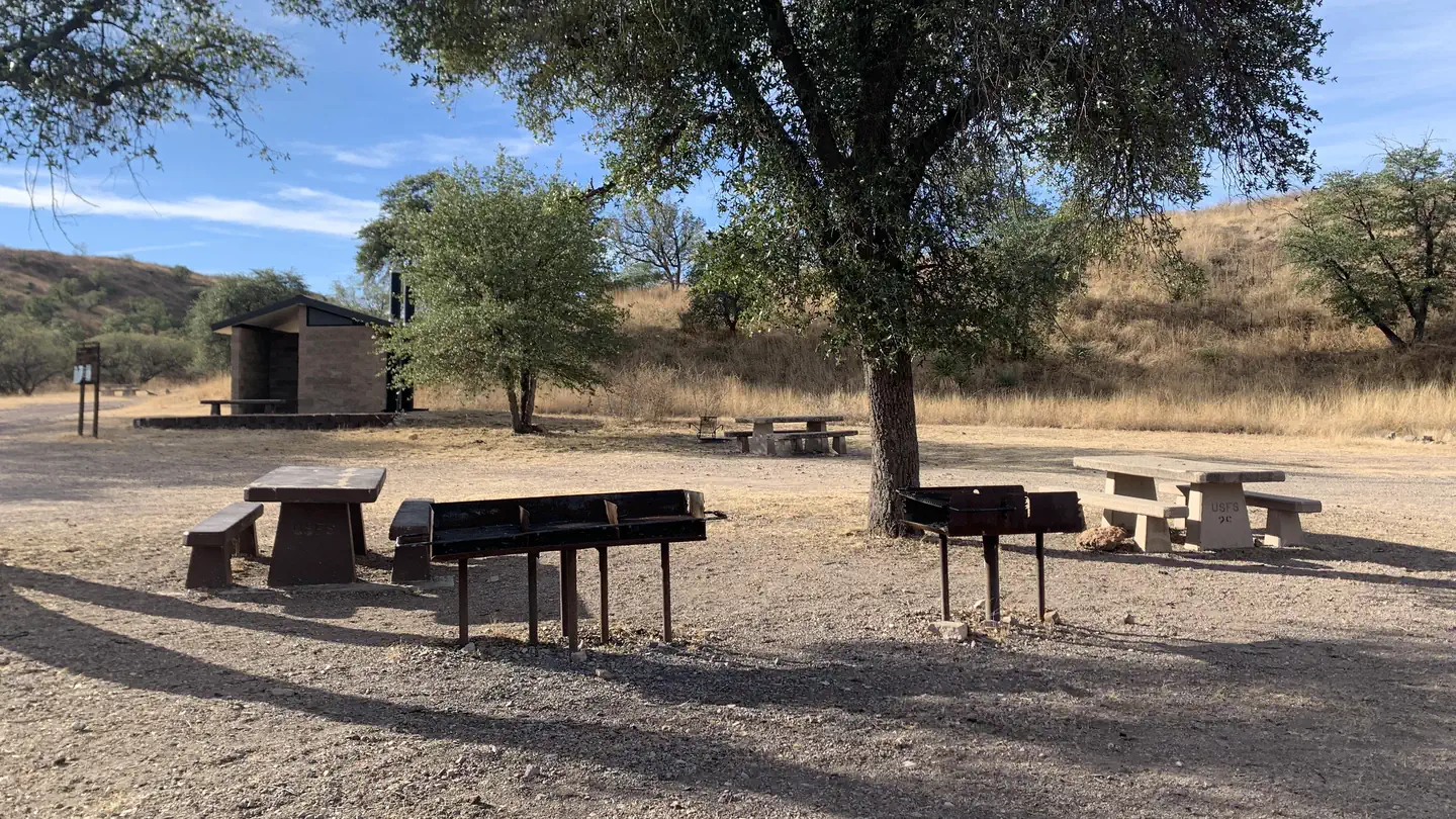
Recreation opportunities in the Nogales Recreation Area are dispersed among the Santa Rita Mountains, the Pajaritos, the Tumacacorisand the grassy hill country that seperates them. The Santa Ritas are topped by 9.453 foot Mt. Wrightson, which is surrounded by the 25,260 acre Wilderness area of the same name. Madera Canyonin the Santa Ritas is famous among birdwatchers the world over. A number of Forest roads, including the Madera Canyon Road, provide access to campgrounds, picnic areas and dozens of forest trails. Pena Blanca Lake, at the edge of the Atascosas, offers developed campgrounds, picnic areas and fishing for stocked and resident species. The Pajaritos are home to scenic Sycamore Canyon, a 7,420 acre Wilderness and a history of mining boomtowns and hardy pioneers.
Reviews
No reviews yet
Be the first to share your experience and help others plan their visit.
Pet Policy
No pets allowed
Campground Rules
- No campfires allowed
Within ~30 miles
Trails near Nogales Recreation Area
Trail
Pena Blanca Lake Trail
Arizona
1.6 mi256 ftgain
Easy
Trail
Patagonia Lake Overlook
Arizona
1.3 mi328 ftgain
Moderate
Trail
Blackhawk to Sonoita Creek Loop
Arizona
3.1 mi515 ftgain
Moderate
Trail
Sonoita Creek Trail
Arizona
2.9 mi236 ftgain
Easy
Trail
Atascosa Lookout Trail
Arizona
4.5 mi1,818 ftgain
Difficult
Trail
Anza Trail
Arizona
3.4 mi203 ftgain
Easy
Hunt context
Hunting units around this campground
During hunting seasons, wear blaze orange and check regulations — see the Arizona hunting page
Nearby Campgrounds

Spot an error in our data on Nogales Recreation Area?