State Park
Mt. Adams area
Trout Lake, WA
Pricing varies — check with the operator
Verify with the state park system
State parks set their own rules and reservation systems. Fire bans, road closures, and operating dates change seasonally — check the state park website before traveling.
Pricing
Pricing varies — check with the operator0.0
0 Reviews
Official sources & verification
Managed by State Park
Verify by phone or mail
- Address:Trout Lake, WA
About
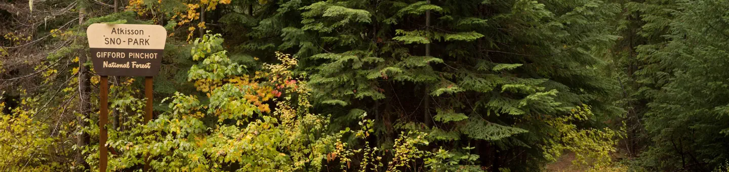
The Mt. Adams area is administrered by the Mt Adams Ranger District. This area is located in the eastern portions of Gifford Pinchot National Forest in southwest Washington, and comprises 367,000 acres. This area includes Mt. Adams Wilderness, Indian Heaven Wilderness and Trapper Creek Wilderness. Mt. Adams is a prominent landmark in the area. Elevations here range between 1200 feet at the Wind River Work Center, 12 miles north of Carson, WA., and 12,276 feet at the summit of Mt. Adams. Precipitation varies from 70.7 inches of rain and 65.1 inches of snow at the Wind River Work Center and 44.1 inches of rain and 95.7 inches of snow at the Mt. Adams Ranger District office in Trout Lake, WA. The area features a great diversity of habitats and features, from old growth to second growth forest, wetland areas, low and high elevation meadows, glaciers, and low and high elevation lakes. Locations on and off the forest to explore Forest Vicinity Map Mount Adams Climbing Conditions Report Recreation Conditions Report
Reviews
No reviews yet
Be the first to share your experience and help others plan their visit.
Pet Policy
No pets allowed
Campground Rules
- No campfires allowed
Within ~30 miles
Trails near Mt. Adams area
Trail
Mount Adams Short Loop
Washington
4.7 mi994 ftgain
Moderate
Trail
Lemei Trail to Lemei Rock
Washington
8.0 mi2,247 ftgain
Difficult
Trail
Sleeping Beauty Trail
Washington
2.4 mi1,365 ftgain
Moderate
Trail
Crofton Butte Trail
Washington
5.1 mi1,398 ftgain
Moderate
Trail
Shorthorn Trail
Washington
11.4 mi2,441 ftgain
Difficult
Trail
Stagman Ridge Trail
Washington
10.1 mi2,687 ftgain
Difficult
Hunt context
Hunting units around this campground
During hunting seasons, wear blaze orange and check regulations — see the Washington hunting page
Nearby Campgrounds

Spot an error in our data on Mt. Adams area?