+3
1 / 9
+4
State Park
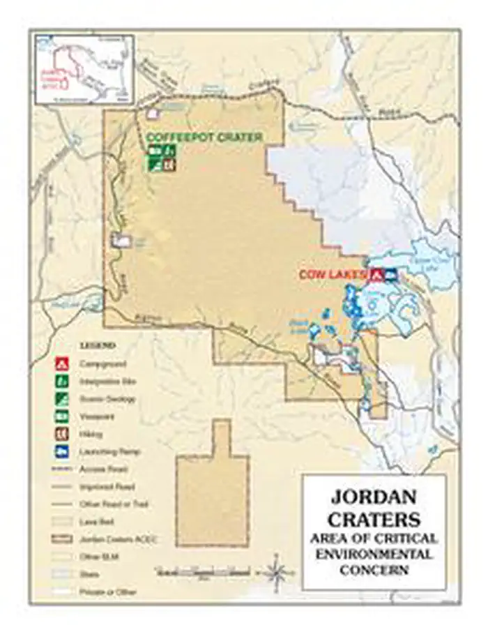
Jordan Craters Area of Environmental Concern
Jordan Valley, OR
Pricing varies — check with the operator
Verify with the state park system
State parks set their own rules and reservation systems. Fire bans, road closures, and operating dates change seasonally — check the state park website before traveling.
Pricing
Pricing varies — check with the operator0.0
0 Reviews
Official sources & verification
Managed by State Park
Verify by phone or mail
- Address:Jordan Valley, OR
About
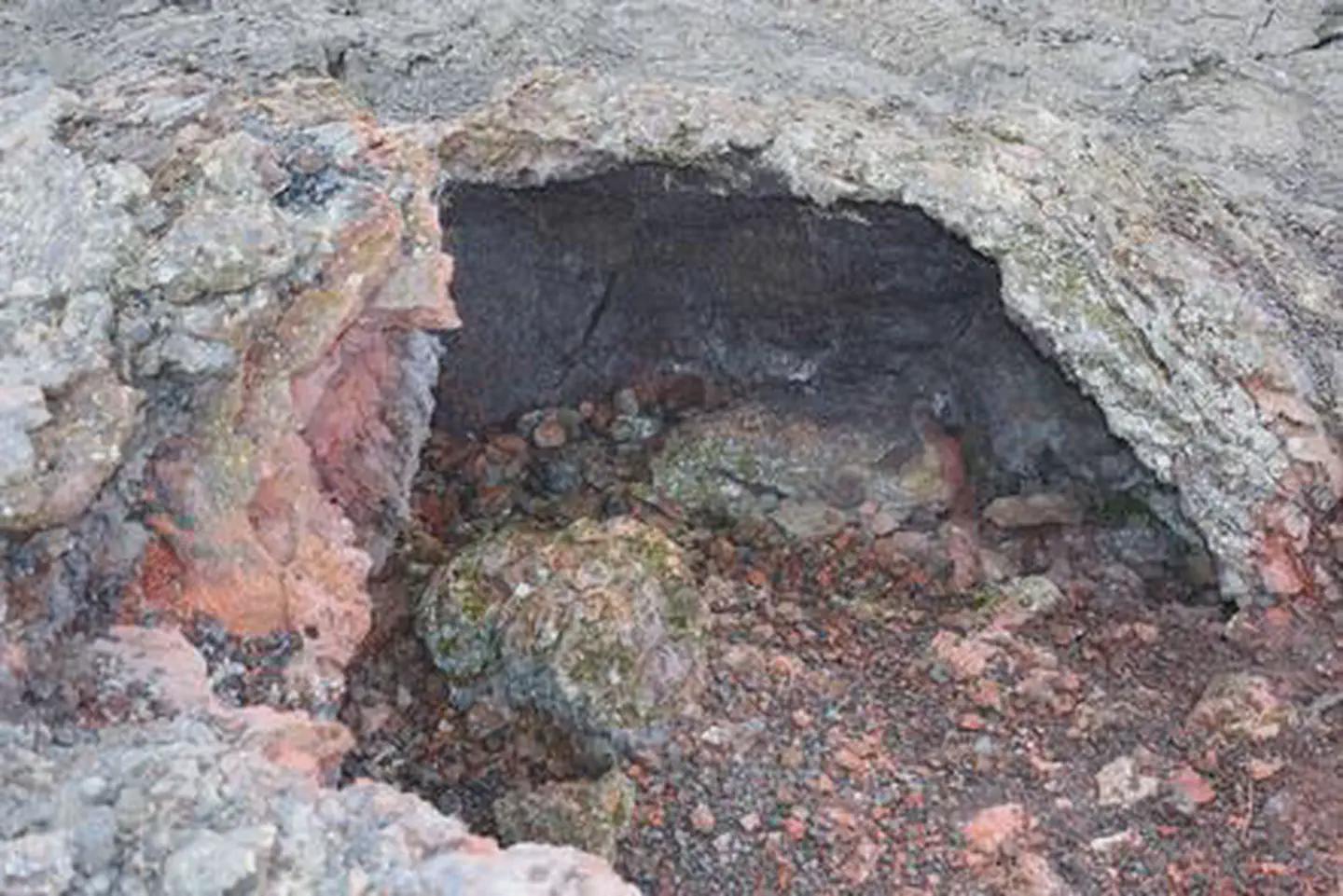
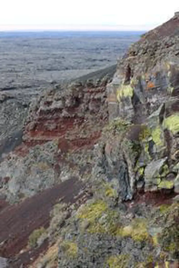
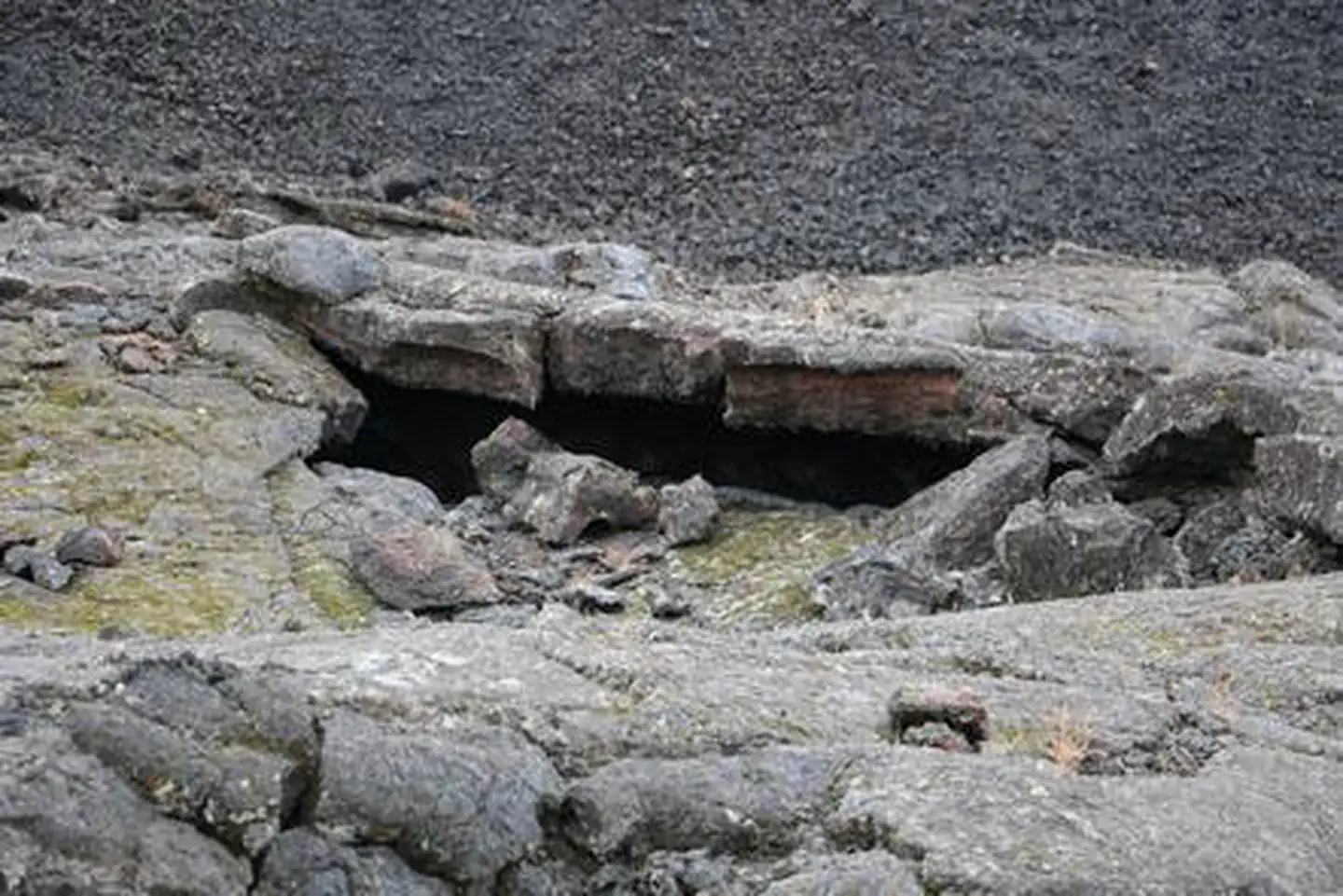
Overview: Jordan Craters is a volcanic field, covering 27 square miles with olivine basalt. This otherworldly scene is the result of lava flow that occurred in two main phases, both less than 30,000 years ago. This ancient lava field features craters, lava tubes and pahoehoe (a Hawaiian term meaning "ropy," describing the smooth, billowy lava flows), showing just how mobile a lava flow can be. Drive right up to Coffee Pot Crater, a well-preserved, steep-sided crater that covers two-thirds of a square mile. Hike through or take photos of this alien-like terrain and explore the area's beautiful and geologically violent past. Know Before You Go: The area is full of rugged terrain; footing is precarious. Lack of trails, sharp lava formations and open pits can be dangerous for the most experienced hiker. The lava fields can reach temperatures of more than 120 degrees during the summer. Dehydration is a very real and very dangerous possibility. Bring enough water to remain hydrated. Roads become nearly impassable when wet. Winter weather can make access difficult. High-clearance, four-wheel-drive vehicles are recommended. Point of Interest: Coffee Pot Crater: the only crater on site to offer vehicle access. This area also features roughly aligned spatter cones - blocks of lava that have welded together, forming cones.
Reviews
No reviews yet
Be the first to share your experience and help others plan their visit.
Pet Policy
No pets allowed
Campground Rules
- No campfires allowed
Within ~30 miles
Trails near Jordan Craters Area of Environmental Concern
Trail
Coffeepot Crater Loop Trail
Oregon
0.5 mi75 ftgain
Easy
Trail
Cow Lakes Campground
Oregon
0.7 mi46 ftgain
Easy
Trail
Watson Cemetery and Hattie Harrell Ranch OHV Trail
Oregon
62.0 mi4,567 ftgain
Difficult
Trail
Juniper Gulch Trail
Oregon
3.3 mi1,421 ftgain
Moderate
Trail
Dago Gulch
Oregon
2.1 mi394 ftgain
Easy
Trail
Upper Leslie Gulch Trail
Oregon
4.1 mi1,312 ftgain
Moderate
Hunt context
Hunting unit around this campground
During hunting seasons, wear blaze orange and check regulations — see the Oregon hunting page
Nearby Campgrounds

Lower Greeley
Pricing varies — check with the operator
Dispersed
Middle Greeley
Pricing varies — check with the operator
Dispersed
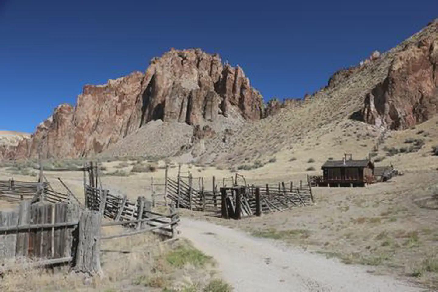
Birch Creek Historic Ranch
Pricing varies — check with the operator
State Park
Pothole Arch
Pricing varies — check with the operator
Dispersed
Upper Greeley
Pricing varies — check with the operator
Dispersed
Bobcat
Pricing varies — check with the operator
Dispersed
Spot an error in our data on Jordan Craters Area of Environmental Concern?