State Park
Highway 120 Corridor
Groveland, CA
Pricing varies — check with the operator
Verify with the state park system
State parks set their own rules and reservation systems. Fire bans, road closures, and operating dates change seasonally — check the state park website before traveling.
Pricing
Pricing varies — check with the operator0.0
0 Reviews
Official sources & verification
Managed by State Park
Verify by phone or mail
- Address:Groveland, CA
About
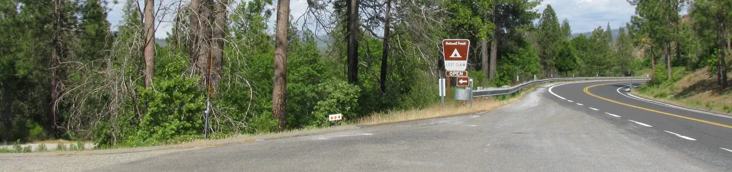
Highway 120 is the year-round access to the Central Sierra Nevada Mountains. The highway goes between the elevations of 2,800 and 4,700 feet. The highway goes through the national park and then goes through the Tioga pass, which is closed during the winter. The Highway 120 corridor is encompassed by the Groveland Ranger District. The most current information is available by calling theGroveland Ranger District or stopping by our office on Highway 120.
Reviews
No reviews yet
Be the first to share your experience and help others plan their visit.
Pet Policy
No pets allowed
Campground Rules
- No campfires allowed
Within ~30 miles
Trails near Highway 120 Corridor
Trail
Carlon Falls Trail
California
2.8 mi443 ftgain
Easy
Trail
Old Coulterville OHV Road
California
16.2 mi5,528 ftgain
Expert
Trail
Diana Falls
California
1.4 mi269 ftgain
Easy
Trail
Gods Bath Clavey River Trail
California
0.9 mi377 ftgain
Moderate
Trail
Merced River Trail
California
5.5 mi981 ftgain
Moderate
Trail
Bull Creek OHV Trail
California
13.4 mi3,419 ftgain
Expert
Hunt context
Hunting units around this campground
During hunting seasons, wear blaze orange and check regulations — see the California hunting page
Nearby Campgrounds

Spot an error in our data on Highway 120 Corridor?