No photos yet
Highway 108 Corridor
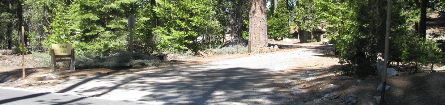
Long Barn, CA
Pricing varies — check with the operator
Verify with the state park system
State parks set their own rules and reservation systems. Fire bans, road closures, and operating dates change seasonally — check the state park website before traveling.
Pricing
Pricing varies — check with the operator0.0
0 Reviews
Official sources & verification
Managed by State Park
Verify by phone or mail
- Address:Long Barn, CA
About
The Scenic Highway 108 Sonora Pass route begins at an elevation of about 3,000 feet, and rises to an elevation of 9,628 feet above sea level. The pass connects the communities of Sonora to the west and Bridgeport to the east. Like Most high elevation passes across the Sierra Nevada, the highway is closed in the winter, generally between November and May, due to large quantities of snow. The highway over the pass is extremely steep, narrow and winding between Kennedy Meadows on the west side to Leavitt Meadows on the east. The route is not recommended for vehicles or vehicle combinations that are unusally wide, heavy or long. Adjacent to the summit of the pass is a picnic/parking area to nearby Sonora Peak, Wolf Creek Lake, and other spots north or south along the Pacific Crest Trail. [Map hwy 108](http://www.fs.usda.gov/Internet/FSE_MEDIA/stelprd3841007.jpg)
Reviews
No reviews yet
Be the first to share your experience and help others plan their visit.
Pet Policy
No pets allowed
Campground Rules
- No campfires allowed
Within ~30 miles
Trails near Highway 108 Corridor
Trail
Lyons Dam
California
10.4 mi2,867 ftgain
Difficult
Trail
Twaine Harte Old Railroad Grade
California
4.7 mi928 ftgain
Moderate
Trail
West Side Railroad Trail to the Tuolumne North Fork
California
10.5 mi4,318 ftgain
Expert
Trail
Gods Bath Clavey River Trail
California
0.9 mi377 ftgain
Moderate
Trail
Pinecrest Peak Trail
California
14.5 mi4,436 ftgain
Expert
Trail
Pinecrest Lake Loop
California
3.9 mi1,224 ftgain
Moderate
Hunt context
Hunting units around this campground
During hunting seasons, wear blaze orange and check regulations — see the California hunting page
Nearby Campgrounds
Spot an error in our data on Highway 108 Corridor?