State Park
Curtis Gulch
Medicine Bow National Forest · Garrett, WY
Verify with the state park system
State parks set their own rules and reservation systems. Fire bans, road closures, and operating dates change seasonally — check the state park website before traveling.
Pricing
Check official pricing0.0
0 Reviews
Official sources & verification
Managed by State Park
Reserve or permit
- Reserve on Recreation.gov
Book a site directly with the operator.
Verify by phone or mail
- Address:Garrett, WY
About
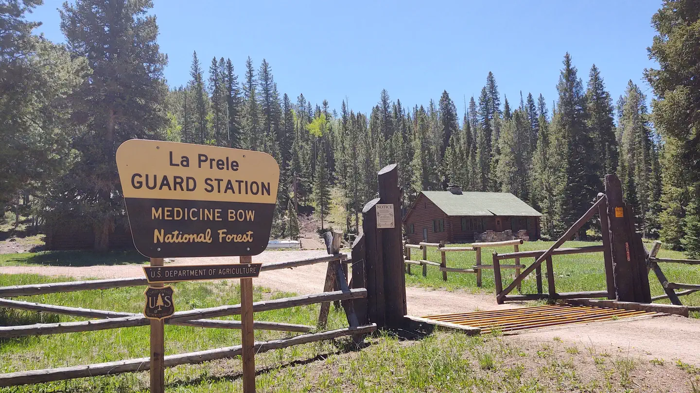
Curtis Gulch Campground is located at 6600' elevation at the end of Forest Road 658, about 4 miles inside the forest boundary. It is located in the Laramie Peak area and is managed by the Douglas Ranger District. It has six campsites with picnic tables, toilets, fire grates and drinking water along scenic La Bonte Creek in the midst of the canyon. The campsites will accommodate trailers under 22 feet in length.
Reviews
No reviews yet
Be the first to share your experience and help others plan their visit.
Amenities
Flush Toilets
Potable Water
Picnic Tables
Fire Rings
Trash Service
Pet Policy
Pets allowed on leash
Campground Rules
- Campfires generally permitted — verify current fire restrictions before lighting
In this park
Trails at Medicine Bow National Forest
Summit Trail and Crow Creek Loop
3.1 mi387 ftmoderate
Libby Creek Trail From Barber Lake
4.1 mi804 ftmoderate
Encampment River Trail via Purgatory Gulch
5.3 mi1,378 ftmoderate
Lost Lakes to West Glacier Lake
6.6 mi1,181 ftmoderate
LaBonte Canyon
5.5 mi692 ftmoderate
Skeleton Trail and Cow Trail
6.5 mi965 ftmoderate
Within ~30 miles
Trails near Curtis Gulch
Hunt context
Hunting unit around this campground
During hunting seasons, wear blaze orange and check regulations — see the Wyoming hunting page
Nearby Campgrounds

Spot an error in our data on Curtis Gulch?