No photos yet
Clark Fork River Area
Noxon, MT
Pricing varies — check with the operator
Verify with the state park system
State parks set their own rules and reservation systems. Fire bans, road closures, and operating dates change seasonally — check the state park website before traveling.
Pricing
Pricing varies — check with the operator0.0
0 Reviews
Official sources & verification
Managed by State Park
Verify by phone or mail
- Address:Noxon, MT
About
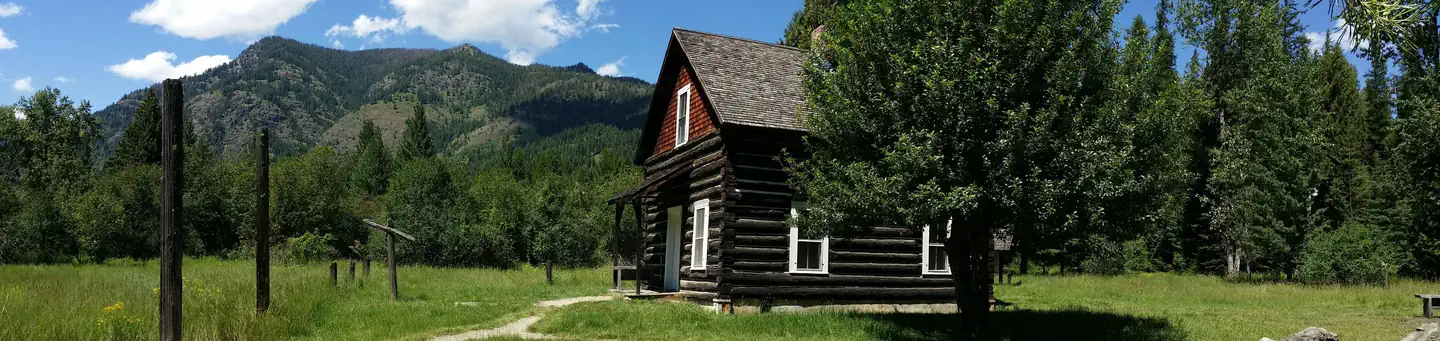
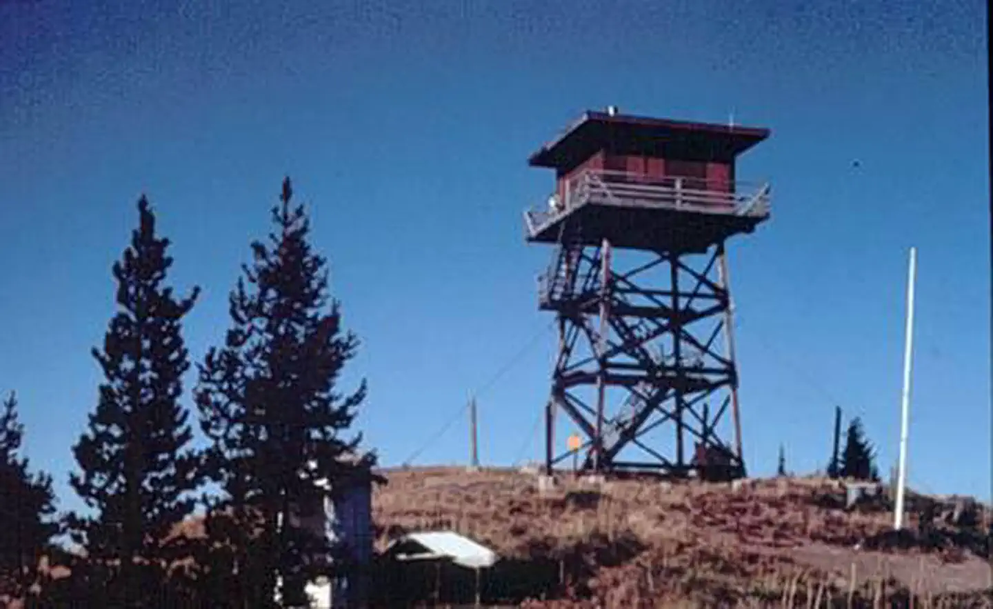
The Clark Fork River Area (Cabinet Ranger District) is bordered by the Idaho line on the west and the Cabinet Mountains Wilderness on the east. The Clark Fork River flows north and west through the District, and the Bull and Vermilion Rivers join it from the north. Rugged peaks ranging in elevation from 6000-8700 feet overlook the valley bottom. Almost ½ million acres of National Forest lands offer a full range of year-round recreational opportunities. Approximately 400 miles of trail are available to the hiker, hunter, and stock user to access various lakes and scenic viewpoints. 150 miles of these trails are open to motorized use. The District maintains almost 400 miles of open road, and many miles of gated roads offer additional opportunities to mountain bikers, berry pickers, and hunters. Four developed campgrounds with boat launches provide access to the Noxon and Cabinet Gorge Reservoirs. Fishing, canoeing, and swimming are popular in the numerous other lakes and streams. The District maintains two lookout towers and one cabin for rental to the public. Winter activities include cross country skiing, ice fishing, and snowmobiling. A groomed snowmobile route is located on the south side of the Clark Fork River which accesses the popular Gem Saddle Snowmobile Shelter.
Reviews
No reviews yet
Be the first to share your experience and help others plan their visit.
Pet Policy
No pets allowed
Campground Rules
- No campfires allowed
Within ~30 miles
Trails near Clark Fork River Area
Trail
Star Peak Lookout
Montana
8.9 mi4,373 ftgain
Expert
Trail
Moran Basin Trail
Montana
20.9 mi5,837 ftgain
Expert
Trail
South Fork Ross Creek Trail
Montana
7.1 mi1,657 ftgain
Difficult
Trail
Delyle Ridge Trail
Idaho
3.3 mi886 ftgain
Moderate
Trail
Scotchman Peak Trail
Idaho
7.6 mi3,924 ftgain
Expert
Trail
Saint Paul Lake Trail
Montana
7.1 mi2,037 ftgain
Difficult
Hunt context
Hunting units around this campground
During hunting seasons, wear blaze orange and check regulations — see the Montana hunting page
Nearby Campgrounds
Spot an error in our data on Clark Fork River Area?