
1 / 4
State Park
Cave Point Group Use Area
Helena, MT
Verify with the state park system
State parks set their own rules and reservation systems. Fire bans, road closures, and operating dates change seasonally — check the state park website before traveling.
Pricing
Check official pricing0.0
0 Reviews
Official sources & verification
Managed by State Park
Reserve or permit
- Reserve on Recreation.gov
Book a site directly with the operator.
Verify by phone or mail
- Address:Helena, MT
About
Overview
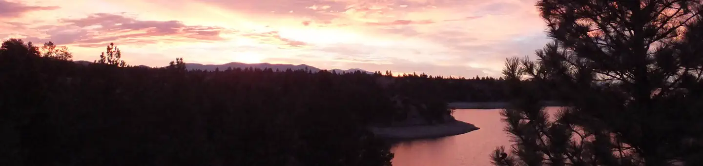
Cave Point Group Use Shelter is located at the very north end of Canyon Ferry Reservoir, 30 miles east of Helena, Montana, along Highway 284. Cave Point offers year-round access to a wide range of recreational opportunities. The Canyon Ferry area has a rich mining history. Cave Point is named for one of the first settlements in the area, Cavetown. Visitors to the shelter can envision the original horse drawn ferry crossing that transported miners across the mighty Missouri River to work the mining camps.
Natural Features:
Cave Point Group Use Shelter sits at the north end of Canyon Ferry Reservoir between the Big Belt and Elkhorn Mountain ranges.
Recreation:
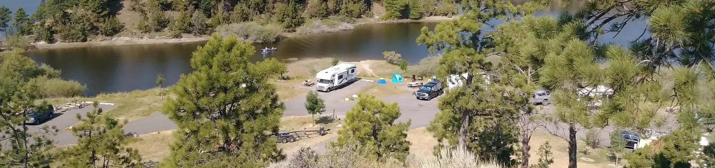
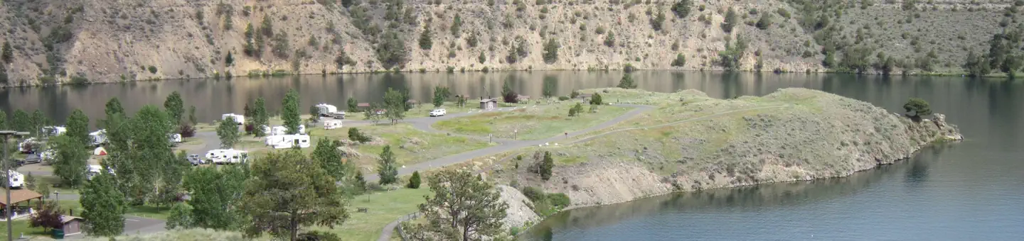
Canyon Ferry Reservoir offers a wide range of year-round recreational opportunities. Water related activities include everything from swimming and fishing to sailing and motor-boating. Canoeists and kayakers explore the many quiet backwater bays. Jet skiers, windsurfers and water skiers skim the summer waves, while winter draws ice fishermen, ice boaters and skaters.
Facilities:
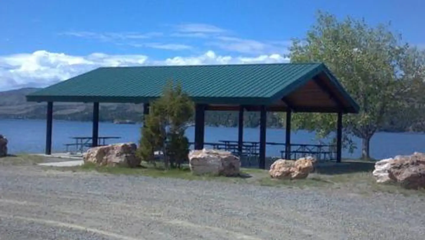
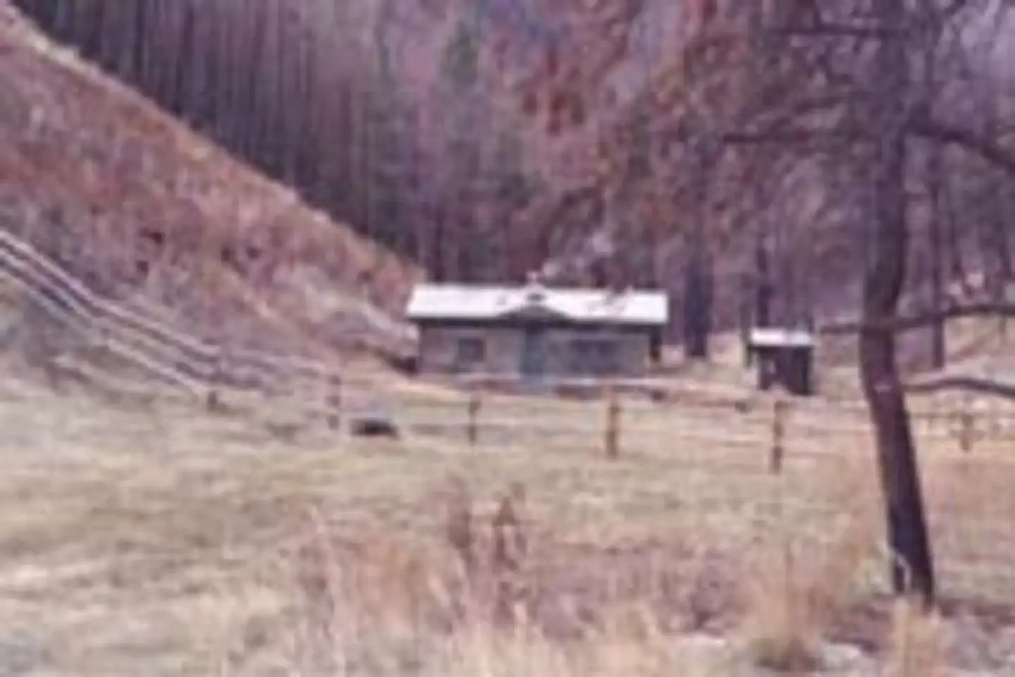
Cave Point Group Use Shelter is a small 30 X 36 shelter with six picnic tables and an accessible vault toilet and can accommodate up to 50 people. Access is shared with a road through Kims Marina.
Reviews
No reviews yet
Be the first to share your experience and help others plan their visit.
Amenities
Flush Toilets
Accessible
Picnic Tables
Fire Rings
Cell Service
Pet Policy
Pets allowed on leash
Campground Rules
- Campfires generally permitted — verify current fire restrictions before lighting
Within ~30 miles
Trails near Cave Point Group Use Area
Trail
Trout Creek Canyon
Montana
7.5 mi3,402 ftgain
Difficult
Trail
Missouri River Beaver Creek Trail
Montana
3.6 mi512 ftgain
Moderate
Trail
Bear Prairie via Refrigerator Canyon Trail
Montana
16.6 mi4,944 ftgain
Expert
Trail
Casey Meadows Trail
Montana
8.1 mi2,451 ftgain
Difficult
Trail
Mount Ascension
Montana
3.1 mi1,027 ftgain
Moderate
Trail
Rodney Ridge Trail
Montana
6.6 mi1,637 ftgain
Difficult
Hunt context
Hunting units around this campground
During hunting seasons, wear blaze orange and check regulations — see the Montana hunting page
Nearby Campgrounds

Spot an error in our data on Cave Point Group Use Area?