Dispersed
Castle Peak Wilderness Study Area
Eagle, CO
Dispersed camping — confirm current rules
This is a dispersed-camping point on public land. Fire restrictions, road conditions, and access change seasonally. Verify with the managing agency before traveling.
Pricing
Check official pricing0.0
0 Reviews
Official sources & verification
Managed by Dispersed/Primitive
Source of truth
- Agency source page
The page our published rules and notes are derived from.
Verify by phone or mail
- Address:Eagle, CO
About
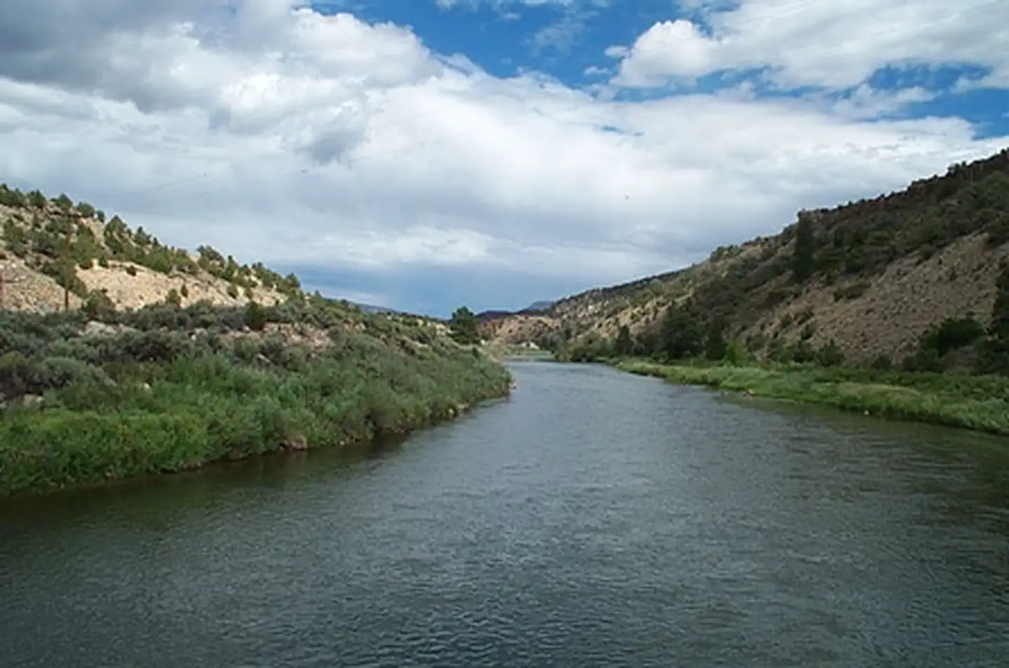
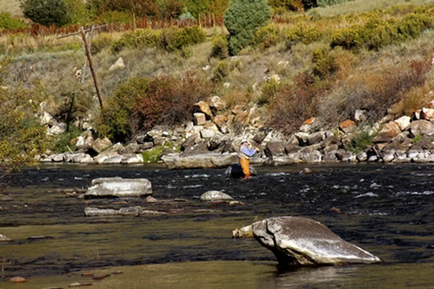
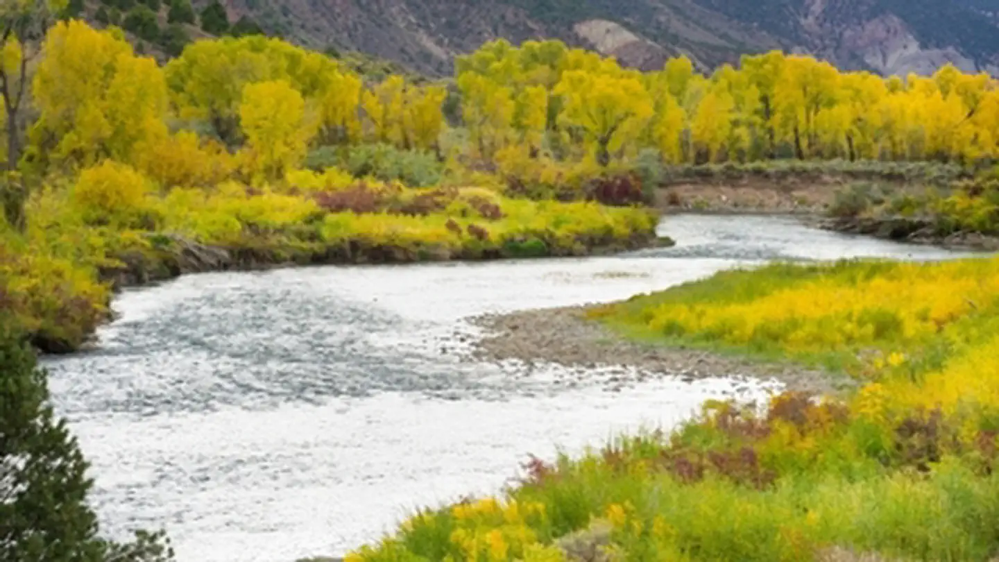
Castle Peak is a prominent peak with steep rugged slopes, and rolling hills, basins, and meadows. It is an outlier of volcanic rock similar in age and origin to expanses of volcanic strata underlying the Flat Tops. Nestled between the Flat Tops, Gore Range and Sawatch Range, Castle Peak provides sweeping vistas of dramatic mountain landscape. Many springs, small lakes and perennial streams are found in the area; some streams provide aquatic habitat and support trout.
In parts of the proposed Castle Peak Wilderness, a network of trails wind through the often chest-high grasses and downed timber. Castle Peak itself is not only a visual reference point for the whole area, but interesting in its own right, as an outlier of volcanic rock similar in age and origin to that covering the Flat Tops. Elevations range from 8,400 feet to 11,275 feet on Castle Peak The expanded boundaries of the proposed wilderness add additional biodiversity by reaching down the hillside to include the lower elevation sagebrush/grasslands habitats. Castle Peak’s location four miles from I-70 at the Wolcott exit, places it within easy driving distance of the Front Range, an added bonus for tourism and recreation.
The Castle Peak Wilderness Study Area is a semi-primitive backcountry area with no facilities. There is no motorized or mechanized use within the WSA to help preserve erosive soils, wildlife, scenic values, water quality and cultural resources.
Reviews
No reviews yet
Be the first to share your experience and help others plan their visit.
Amenities
Fire Rings
Cell Service
Pet Policy
Pets allowed on leash
Campground Rules
- Campfires generally permitted — verify current fire restrictions before lighting
Within ~30 miles
Trails near Castle Peak Wilderness Study Area
Trail
Castle Peak via Poison Trail
Colorado
5.2 mi1,345 ftgain
Difficult
Trail
Bone Yard and Red Neck Ridge Loop
Colorado
6.1 mi1,194 ftgain
Moderate
Trail
Haymaker Trail
Colorado
3.3 mi515 ftgain
Moderate
Trail
Haymaker to Dirt Surfer to Pool and Ice Rink
Colorado
6.4 mi1,335 ftgain
Moderate
Trail
Hocket Gulch, Tick Alley, and Worlds Greatest Loop
Colorado
9.5 mi2,287 ftgain
Difficult
Trail
Abrams Creek
Colorado
5.9 mi1,014 ftgain
Moderate
Hunt context
Hunting unit around this campground
During hunting seasons, wear blaze orange and check regulations — see the Colorado hunting page
Nearby Campgrounds

Spot an error in our data on Castle Peak Wilderness Study Area?