State Park
Black Mountain / South Toe River Area
Pisgah Forest, NC
Pricing varies — check with the operator
Verify with the state park system
State parks set their own rules and reservation systems. Fire bans, road closures, and operating dates change seasonally — check the state park website before traveling.
Pricing
Pricing varies — check with the operator0.0
0 Reviews
Official sources & verification
Managed by State Park
Verify by phone or mail
- Address:Pisgah Forest, NC
About
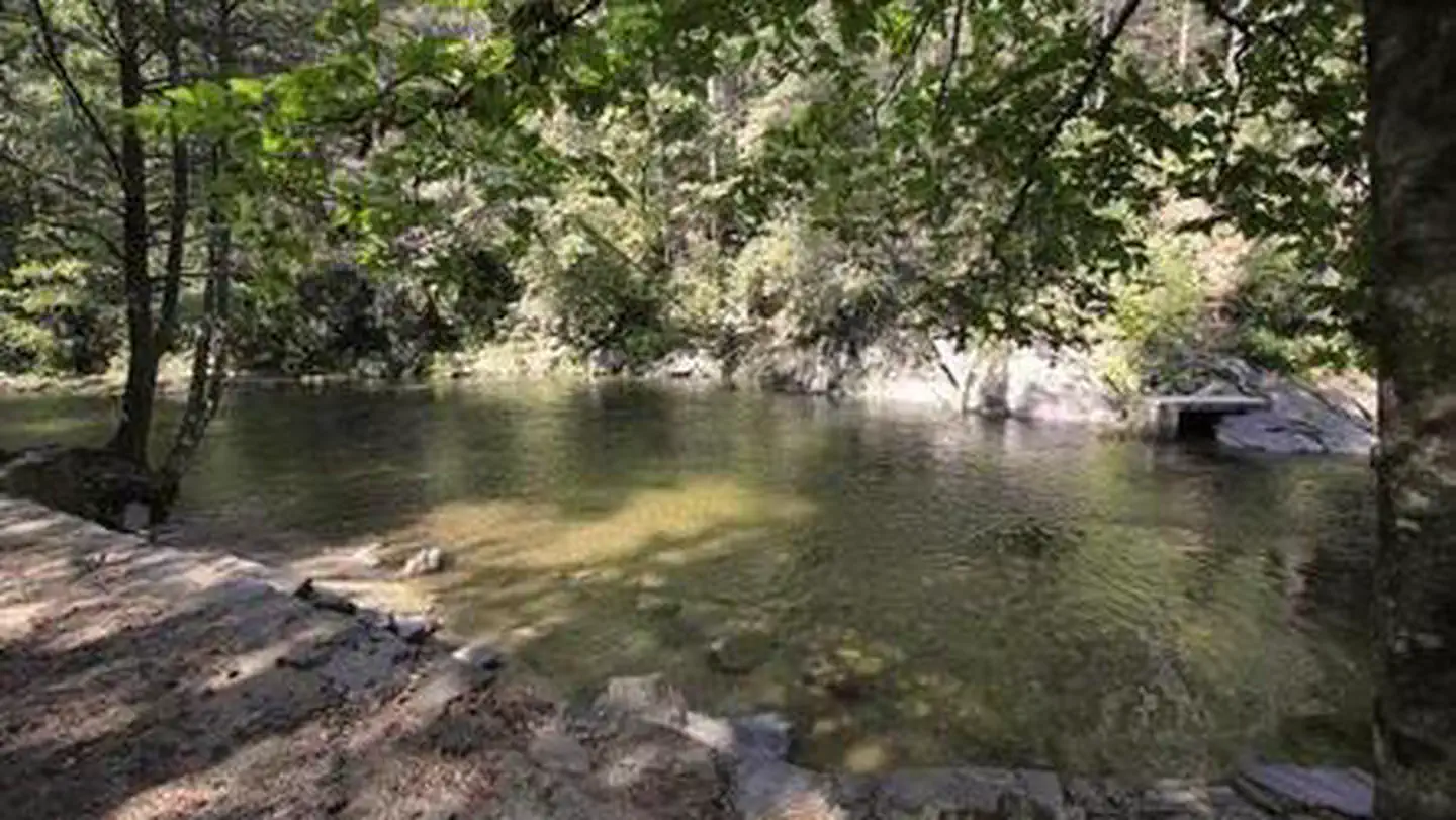
The South Toe River area is close to the Ranger District. The South Toe River and the Black Mountains are included. The dark color of the red and Fraser fir forest is what inspired the name of the Black Mountains. You can eat and travel along the river.
Reviews
No reviews yet
Be the first to share your experience and help others plan their visit.
Amenities
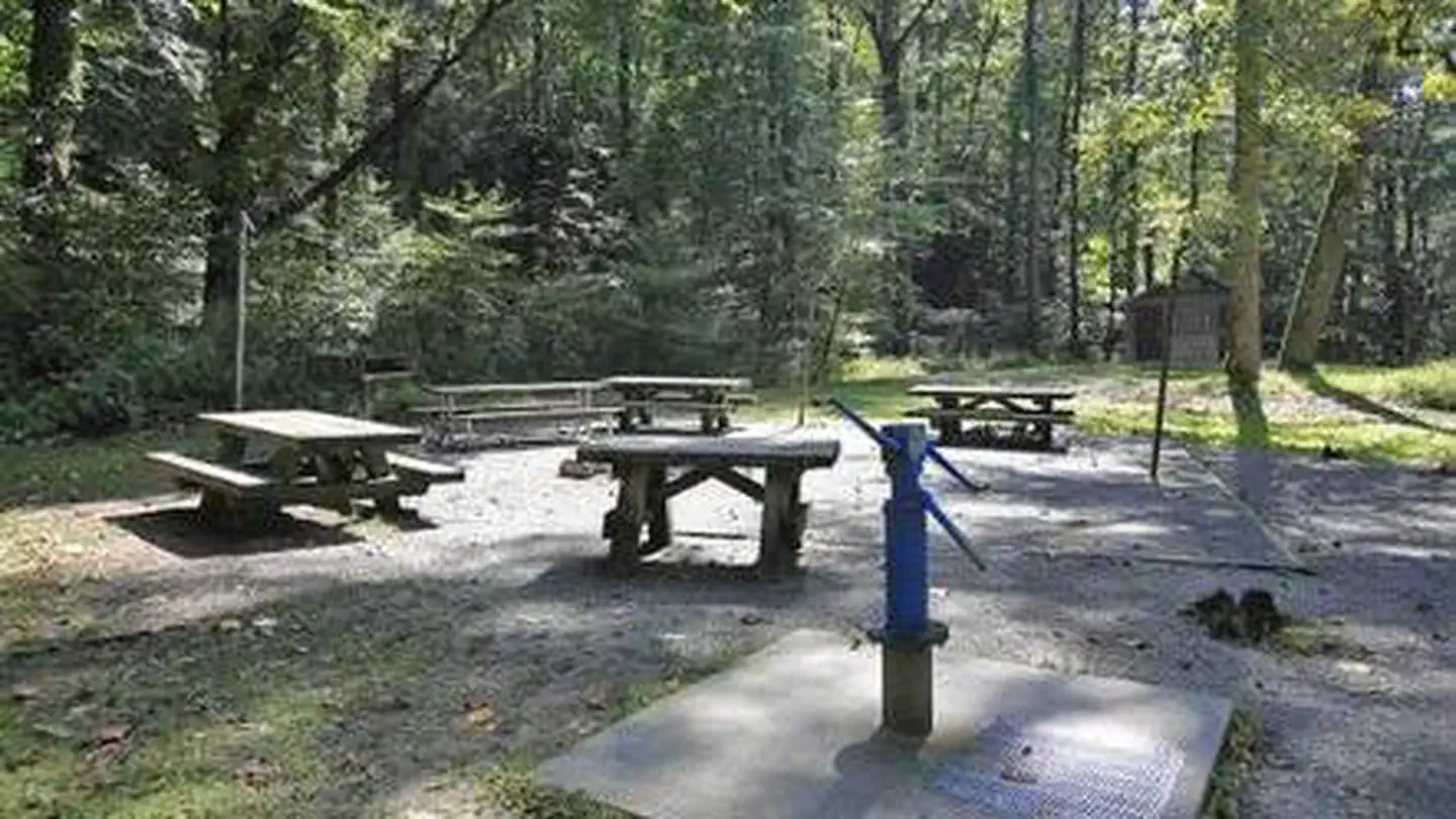
Potable Water
Electric Hookups
Wifi
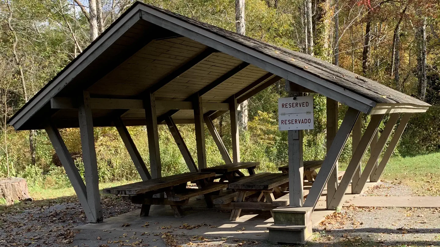
Picnic Tables
Fire Rings
Trash Service
Cell Service
Pet Policy
Pets allowed on leash
Campground Rules
- Campfires generally permitted — verify current fire restrictions before lighting
Within ~30 miles
Trails near Black Mountain / South Toe River Area
Trail
Black Mountain to Pink Beds and Buckwheat Knob
North Carolina
24.9 mi6,916 ftgain
Expert
Trail
Thrift Cove Loop Trail
North Carolina
3.7 mi1,066 ftgain
Moderate
Trail
Chestnut Knob via Art Loeb Trail
North Carolina
9.8 mi3,776 ftgain
Expert
Trail
Art Loeb and North Slope Loop
North Carolina
6.6 mi1,857 ftgain
Difficult
Trail
North Slope
North Carolina
3.8 mi991 ftgain
Moderate
Trail
Pressley Gap
North Carolina
7.7 mi2,566 ftgain
Difficult
Nearby Campgrounds

Spot an error in our data on Black Mountain / South Toe River Area?