BLM
Atigun Pass
AK
Verify with the local BLM field office
BLM site amenities, road access, and fire restrictions are managed by the local field office. Conditions change with weather and season — confirm before traveling.
Pricing
Check official pricing0.0
0 Reviews
Official sources & verification
Managed by Bureau of Land Management
Source of truth
- Agency source page
The page our published rules and notes are derived from.
Verify by phone or mail
- Operator:(907) 474-2200
- Email:CentralYukon@blm.gov
About
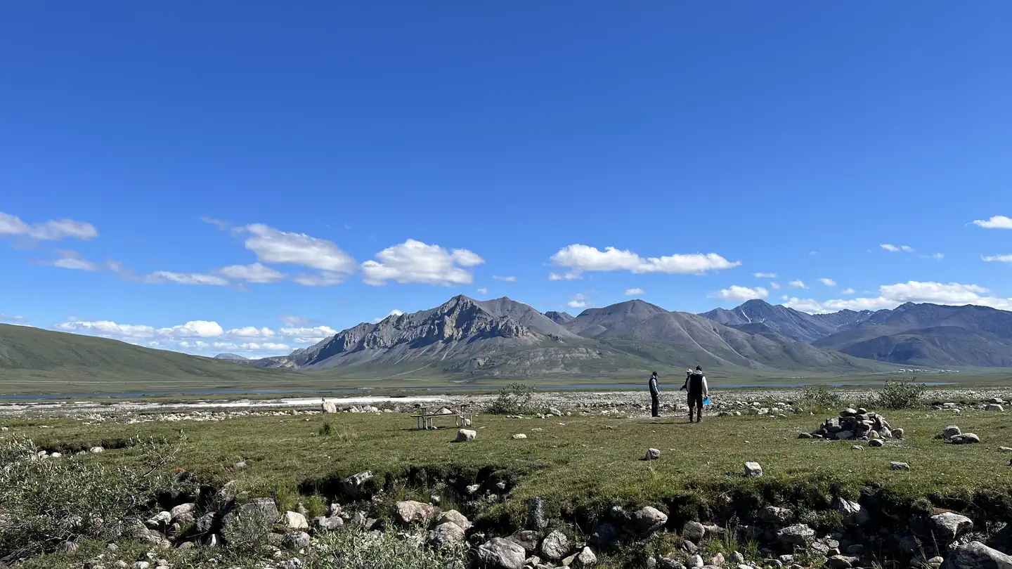
You cross the Continental Divide at Atigun Pass (milepost 244, elevation 4,739 feet). South of here, rivers flow into the Pacific Ocean or Bering Sea, while rivers to the north flow into the Arctic Ocean. Storms can dump snow here even in June and July. Watch for Dall sheep, which often feed and rest on rocky slopes close to the highway. Dall sheep also frequent mountainsides between Atigun Pass and Galbraith Lake (mile 275), and Slope Mountain (milepost 300). North of the pass the landscape opens to vast, treeless tundra where wildlife is more visible. You can look for grizzly bears, wolves, caribou, and muskoxen (north of Slope Mountain), and hunting birds such as peregrine falcons, golden eagles, and short-eared owls. Close to the Arctic Ocean coast, scan for snowy owls and arctic foxes. If stopping to watch wildlife, be sure to find parking areas well off the highway. The Dalton Highway is a rough, tough and remote road. Check the Alaska Department of Transportation and Public Facilities website for information on preparation and safe driving.
Reviews
No reviews yet
Be the first to share your experience and help others plan their visit.
Within ~30 miles
Trails near Atigun Pass
Hunt context
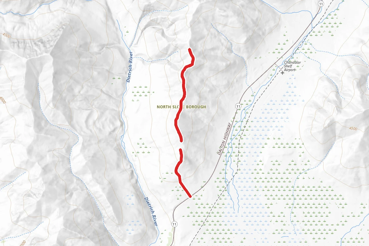
Hunting units around this campground
During hunting seasons, wear blaze orange and check regulations — see the Alaska hunting page
Nearby Campgrounds
Spot an error in our data on Atigun Pass?