Difficult
Yellowstone Lake to Old Faithful via Southern Boundary [CLOSED]
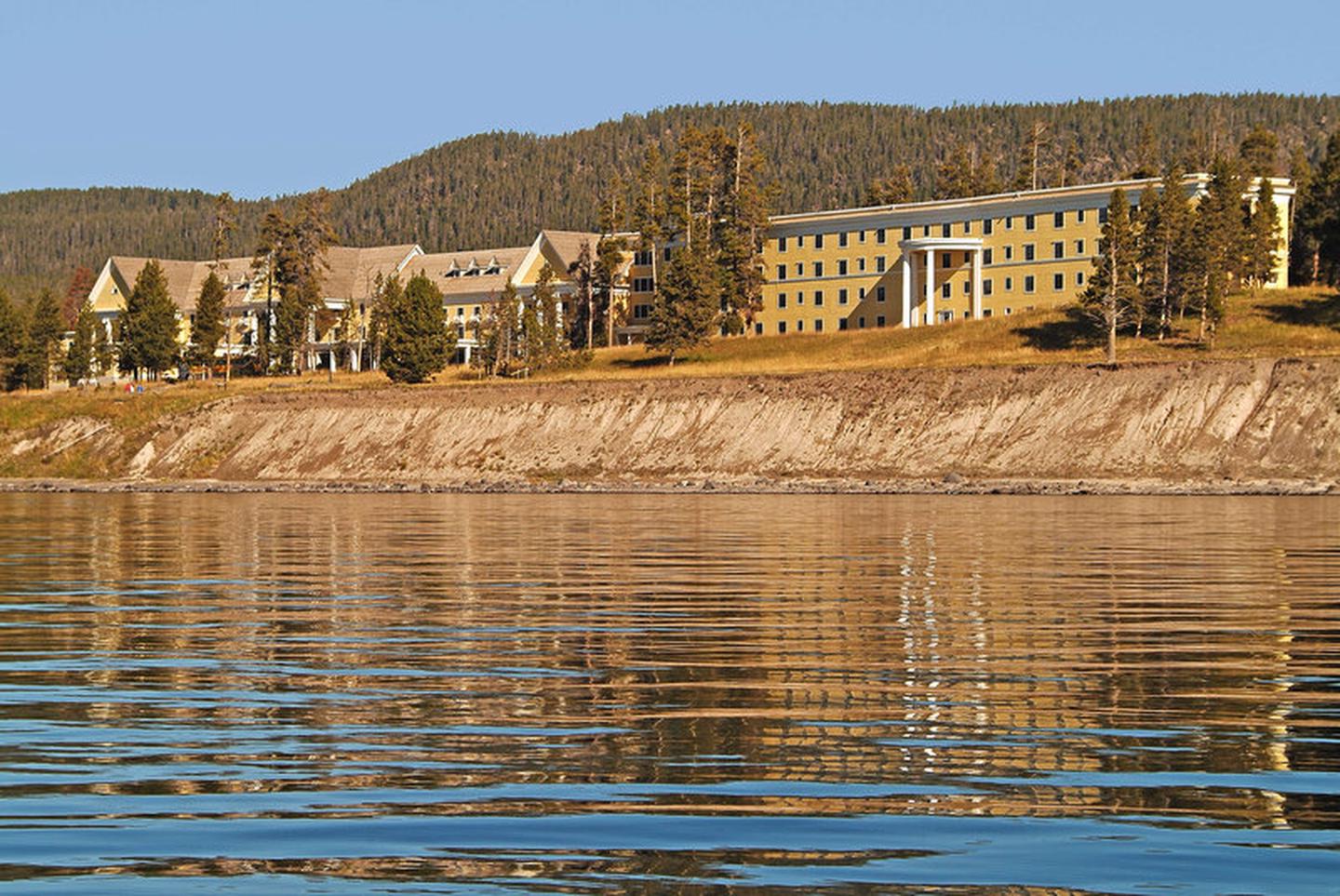
Yellowstone National Park, Wyoming
145.4 mi
Distance
25,102 ft
Elev. Gain
54h
Est. Time
0.0
0 Reviews
About This Trail
A backpacker can go down the Snake River to Heart Lake and back to the Southern Boundary on a 13-day trip that includes a visit to the Bechler Region.
Trail Details
Point to Point
Route Type
Dirt
Surface
No Dogs
Dog Policy
Yes
Kid Friendly
No
Permit Required
Elevation Profile
Min:1,947 ft
Max:2,836 ft
7,651 ft
7,804 ft
Reviews
No reviews yet
Be the first to share your experience and help others plan their visit.
Trail Conditions
Trail Conditions
Unknown
Updated Unknown
No recent condition reports. Be the first to share what you see on the trail.
Yellowstone Lake East Shore to 6D1 Trail [CLOSED]
43.5 km
Difficult
![Yellowstone Lake East Shore to 6D1 Trail [CLOSED]](https://www.nps.gov/common/uploads/structured_data/3C873CC3-1DD8-B71B-0B076FC2806DF140.jpg?width=800&quality=80)
Yellowstone Lake East Shore to 6D1 Trail [CLOSED]
31.1 km5.0
Difficult
The Thorofare and South Boundary Trail [CLOSED]
108.6 km
Difficult
Heart Lake to South Entrance Trail via Thorofare Trail [CLOSED]
97.8 km
Difficult
Heart Lake to South Entrance Trail via Thorofare Trail [CLOSED]
31.1 km1.0
Difficult
Yellowstone Lake to Heart Lake Trail [CLOSED]
79.5 km
Difficult
In this park
Other trails in Yellowstone National Park
_2021-08-10,_05.jpg/1280px-Grand_Prismatic_Spring_from_Fairy_Falls_Trail_overlook_(Midway_Geyser_Basin,_Yellowstone_National_Park)_2021-08-10,_05.jpg)
Fairy Falls Trail
Wyoming
11.1 km30 mgain
Easy
Mount Washburn Trail
Wyoming
12.8 km427 mgain
Moderate

Uncle Tom's Trail
Wyoming
1.3 km152 mgain
Moderate
.jpg/1280px-Petrified_Trunk_&_the_Lamar_Valley,_from_the_Trail_(3947725084).jpg)
Lamar Valley Trail
Wyoming
3.1 km122 mgain
Easy
Grand Prismatic Hot Spring [CLOSED]
Wyoming
2.6 km70 mgain
Easy
Dunraven Pass to Mount Washburn [CLOSED]
Wyoming
10.9 km528 mgain
Moderate
Stay nearby