Status unknown — verify before visiting
We don't have current condition data for this trail. Check with the land manager before you go.
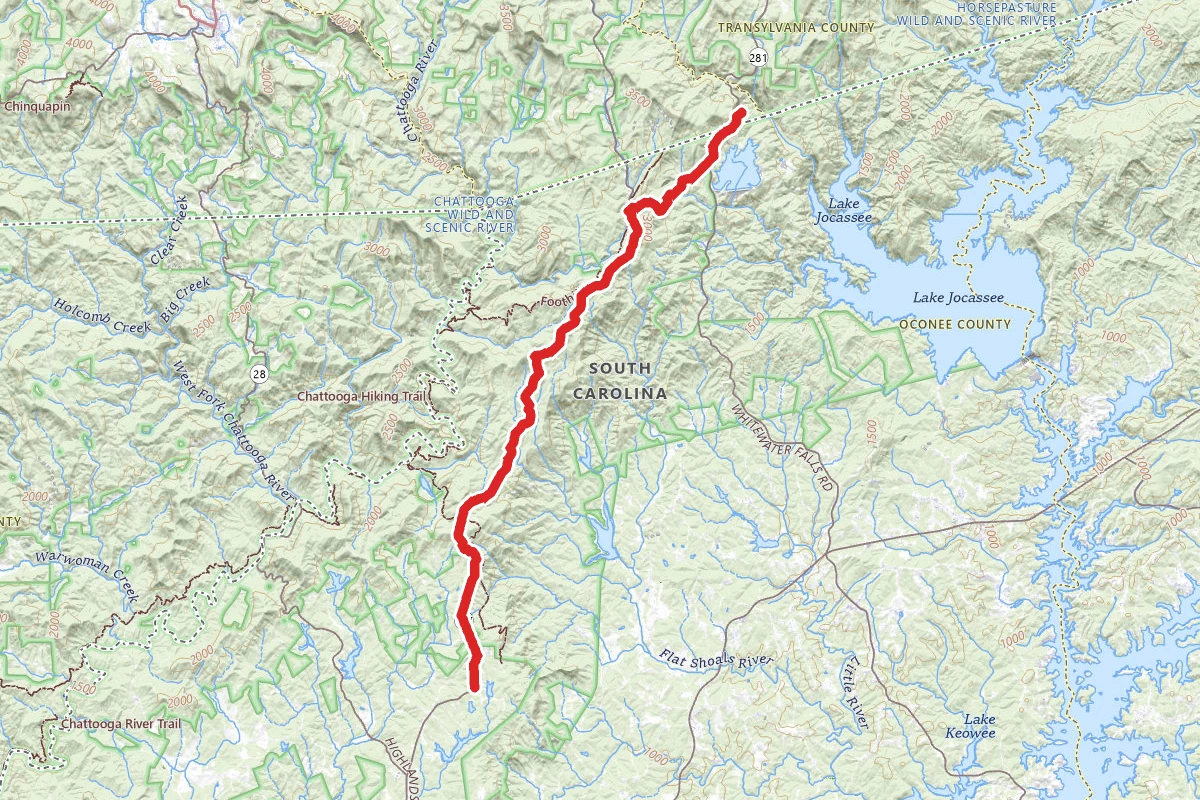
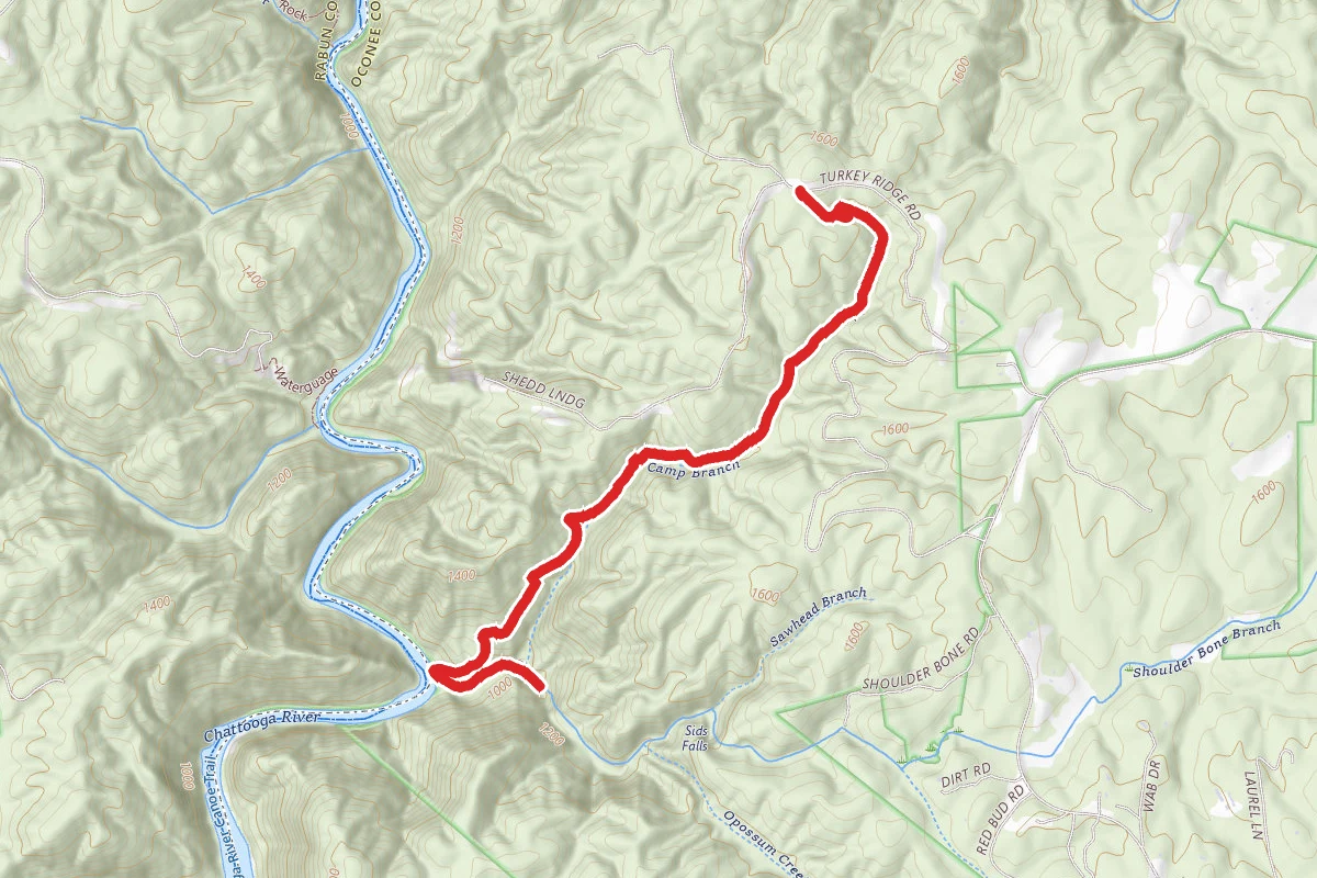
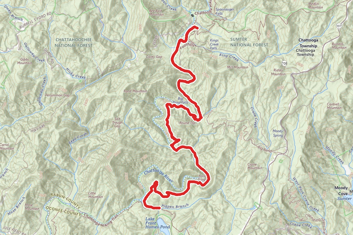
Oscar Wigginton Memorial Scenic Byway
Mountain Rest, South Carolina
15.0 mi
Distance
2,844 ft
Elev. Gain
6h 13m
Est. Time
Point to Point
Route Type
Easy
Difficulty
About This Trail
Imported descriptionTrail Conditions
Trail Conditions
We have no current condition data for this trail. Check with the operator before you go, and submit a report below if you've been recently.
No recent condition reports. Be the first to share what you see on the trail.
Elevation Profile
Trail Details
- Route Type
- Point to Point
- Surface
- Dirt
Official sources & verification
Managed by United States Forest Service
Managing agency
- United States Forest Service
Find offices, alerts, and current orders for this agency.
Verify by phone or mail
- Address:SC
Reviews
No reviews yet
Be the first to share your experience and help others plan their visit.
Legacy import — verify before navigating
Path geometry came from our pre-launch legacy database. Routes have not yet been re-verified against the operator and may differ from the actual trail.
In this park
Other trails in Sumter National Forest
Yellow Branch Falls Trail
South Carolina
Forks Area Trail System (FATS)
South Carolina
Opossum Creek Falls Trail
South Carolina
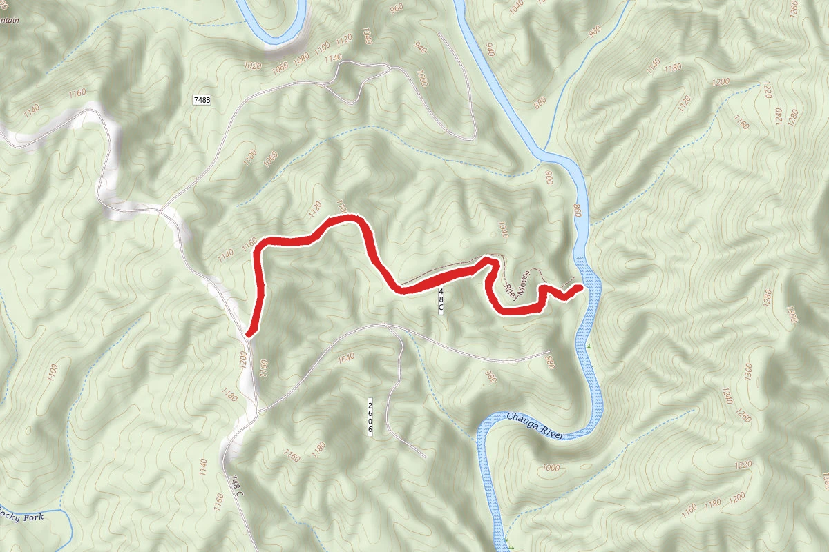
Riley Moore Falls
South Carolina
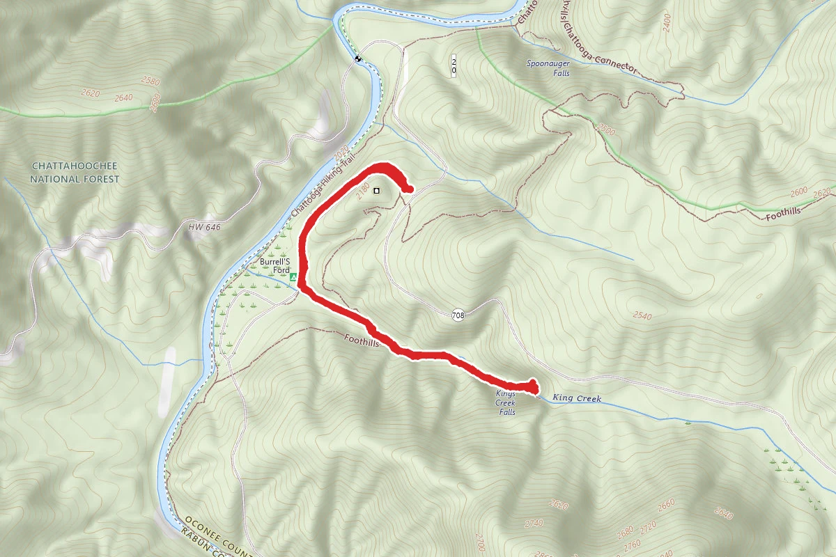
King Creek Falls Trail
South Carolina
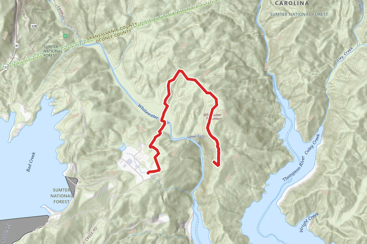
Lower Whitewater Falls
South Carolina
Stay nearby
Campgrounds near this trail
Similar length
Similar trails in South Carolina
Forks Area Trail System (FATS)
South Carolina

West Ashley Greenway
South Carolina
Marrington Plantation Trail
South Carolina
Sassafrass Mountain via NC 178
South Carolina
Doodle Trail
South Carolina
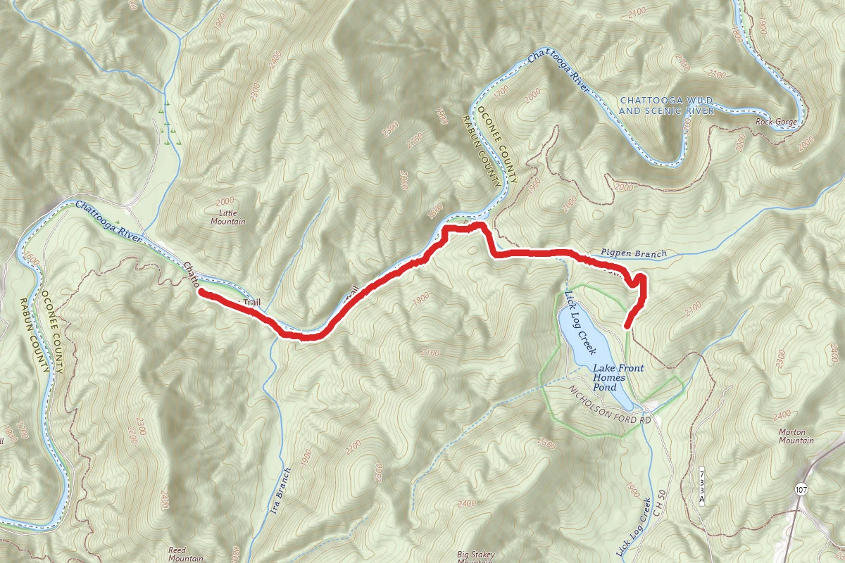
Chattooga Trail to Lick Log Falls from Burrells Ford Campground
South Carolina