Explore parks
2,085 parks
Hawley Mountain Wilderness Study Area
Idaho
In Idaho, BLM manages over 15,000 acres of public lands in the Hawley Mountain Wilderness Study Area. The stee…
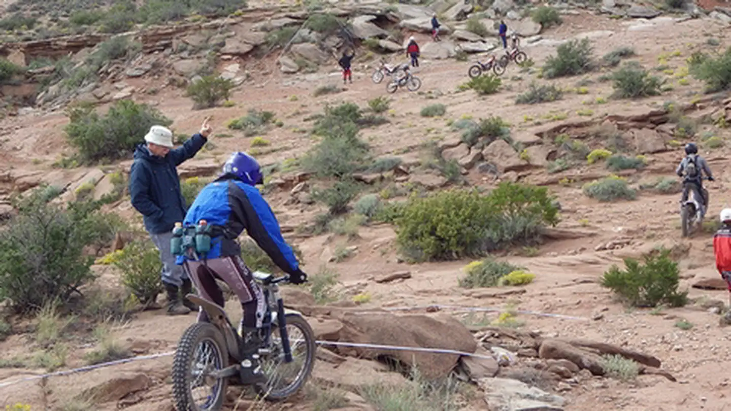
Haystack Mountain Off-Highway Vehicle Area
New Mexico
Perched on the rugged breaks overlooking the Pecos River, Haystack Mountain Off-Highway Vehicle (OHV) Area off…
Haystack Reservoir
Oregon
The Haystack Reservoir area encompasses 271 acres of land and 233 acres of water surface, with 5 miles of shor…
Head Canyon OHV Recreation Area
New Mexico
Off-road vehicle users in the Four Corners area love sites like this. This is a great site for those with youn…
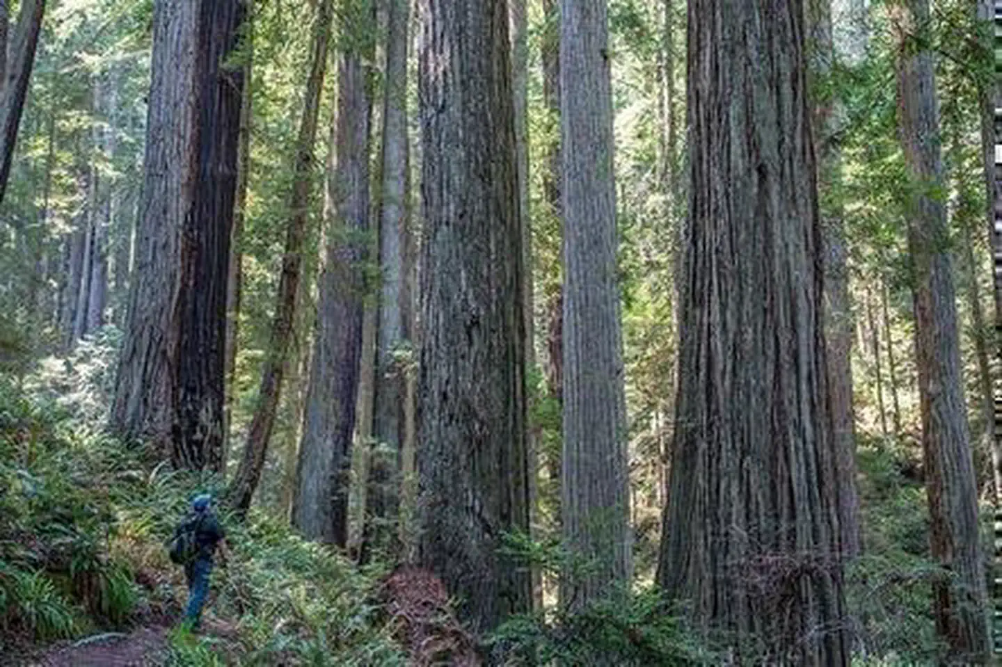
Headwaters Forest Reserve
Oregon
The 7,472-acre Headwaters Forest Reserve (Reserve) was established in 1999 after a decade-long grassroots effo…
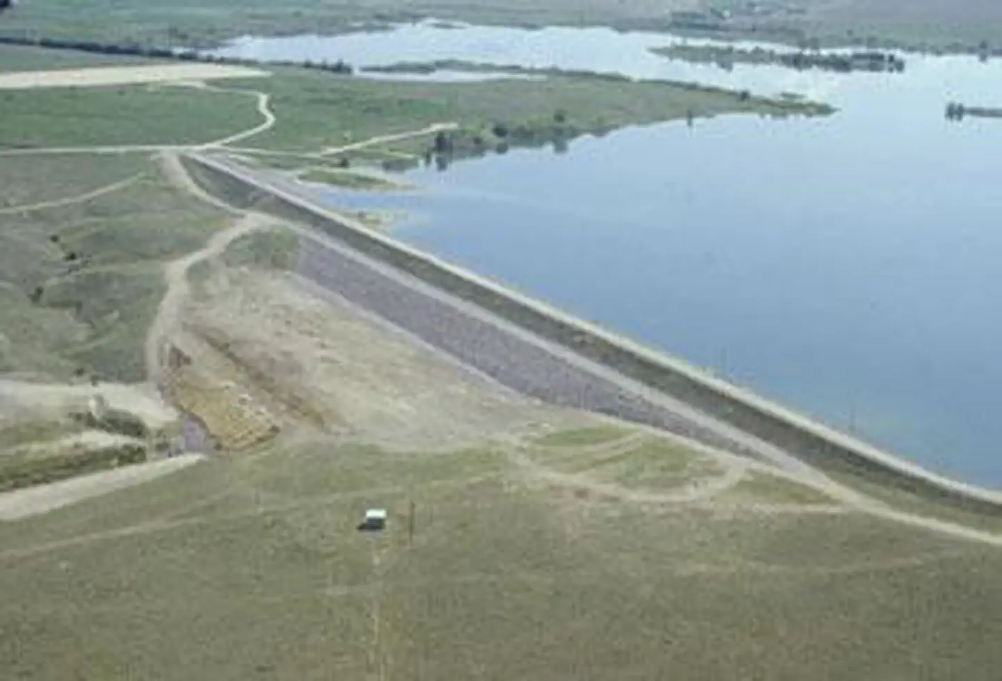
Heart Butte Reservoir
North Dakota
The 142 foot high Heart Butte Dam, Heart Butte Project is on the Heart River in Grant County, North Dakota. M…
Heart Mountain Springs Recreation Site
Utah
Campground rules and regulations are posted at the site. There are no dumpsters on site, visitors must pack in…
Helena Valley Reservoir
Montana
The Helena Valley Unit is in central Montana, adjoining the city of Helena, Montana, and 3.5 miles west of Can…
Helena-Lewis and Clark National Forest
Montana
Hell's Half Acre Wilderness Study Area
Idaho
In Idaho, BLM manages over 66,000 acres of public lands in the Hell's Half Acre Wilderness Study Area. The 520…
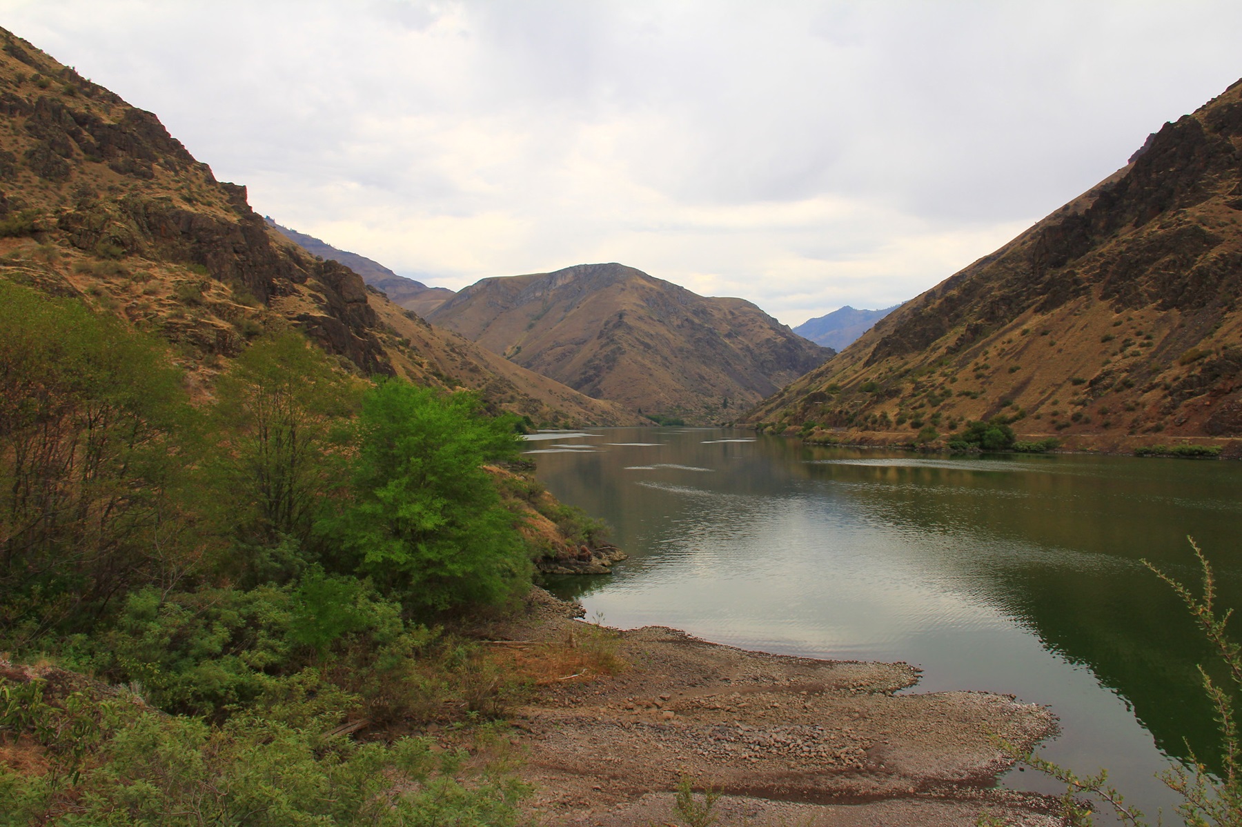
Hells Canyon Wilderness
Idaho
The United States Congress designated the Hells Canyon Wilderness in 1975 and it now has a total of 217,927 ac…
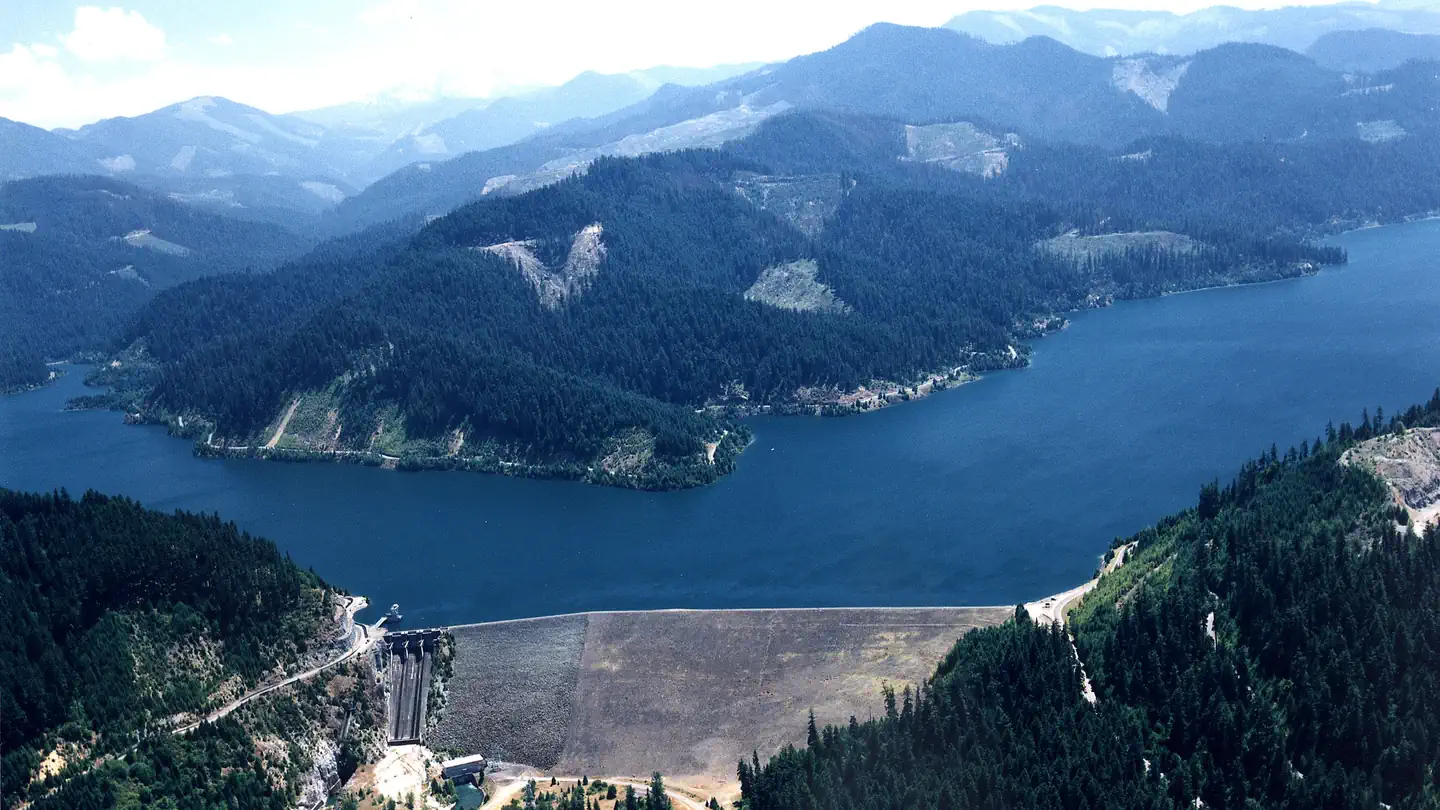
Henry Hagg Lake
Oregon
Henry Hagg Lake was formed by the construction of Scoggins Dam which is a major facility of the Tualatin Proje…
Henry's Lake Wilderness Study Area
Montana
In Idaho, BLM manages 350 acres of public lands in the Henry's Lake Wilderness Study Area. Lush riparian veget…
Hensley Lake
California
Less than an hour drive northeast of Fresno in the foothills of the Sierra Nevada enroute to Yosemite National…

Herbert Hoover National Historic Site
Iowa
Orphaned at age nine, Herbert Hoover left West Branch never to live here again. In later years, he returned to…
Heron Reservoir
New Mexico
Heron Dam and reservoir are part of the San Juan Chama Project. The reservoir is on Willow Creek just above th…
Hiawatha National Forest
Michigan
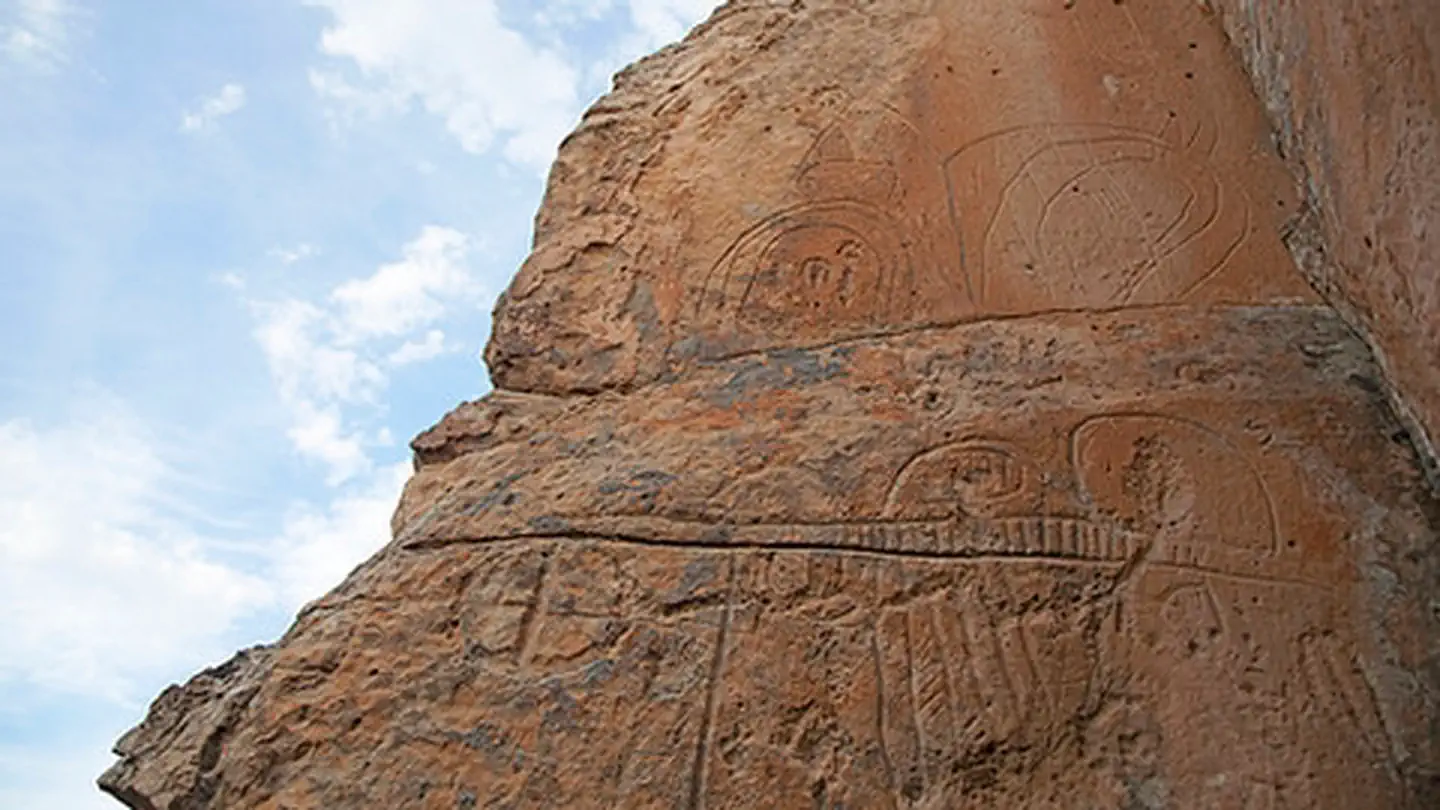
Hickison Petroglyph Recreation Area
Nevada
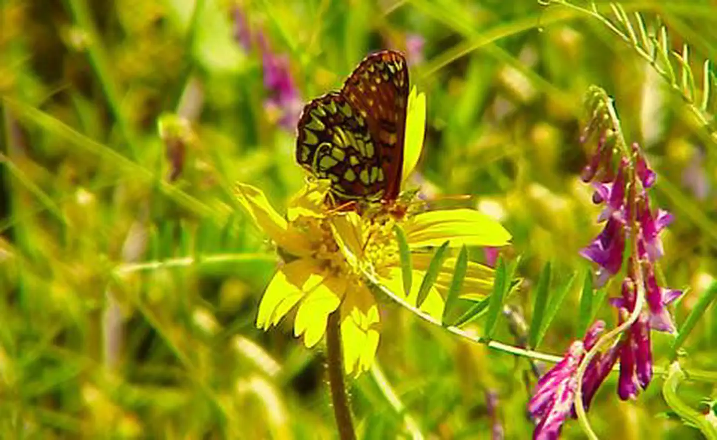
A great place to take a walk, let the kids run, have a picnic, spend a few days camping, and look at ancient p…
High Rock Canyon
Oregon
HIGH ROCK CANYON IS CLOSED FOR THE SEASON - (closed until May 7, 2022) Overview High Rock Canyon is desig…
Highland Range Crucial Bighorn Habitat
Nevada
The area was set aside for the protection and propagation of desert bighorn sheep. No public access. US 95 run…
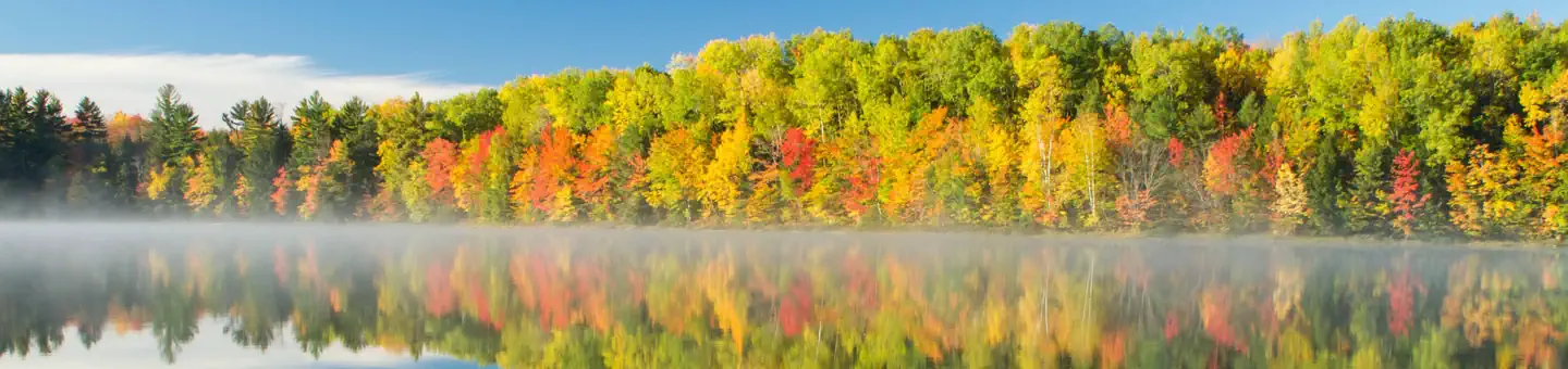
Hills Creek Lake
Oregon
Hills Creek Lake is set in rugged mountain country within the Willamette National Forest. The scenic 2,735 ac…
Historic Jamestowne Part of Colonial National Historical Park
Maryland
Walk in the steps of Captain John Smith and Pocahontas where a successful English colonization of North Americ…
Historic Route 66 California Gateway Site Day Use Area
Arizona
Located approximately two miles west of the Colorado River off Interstate 40, the day use and picnic area mem…
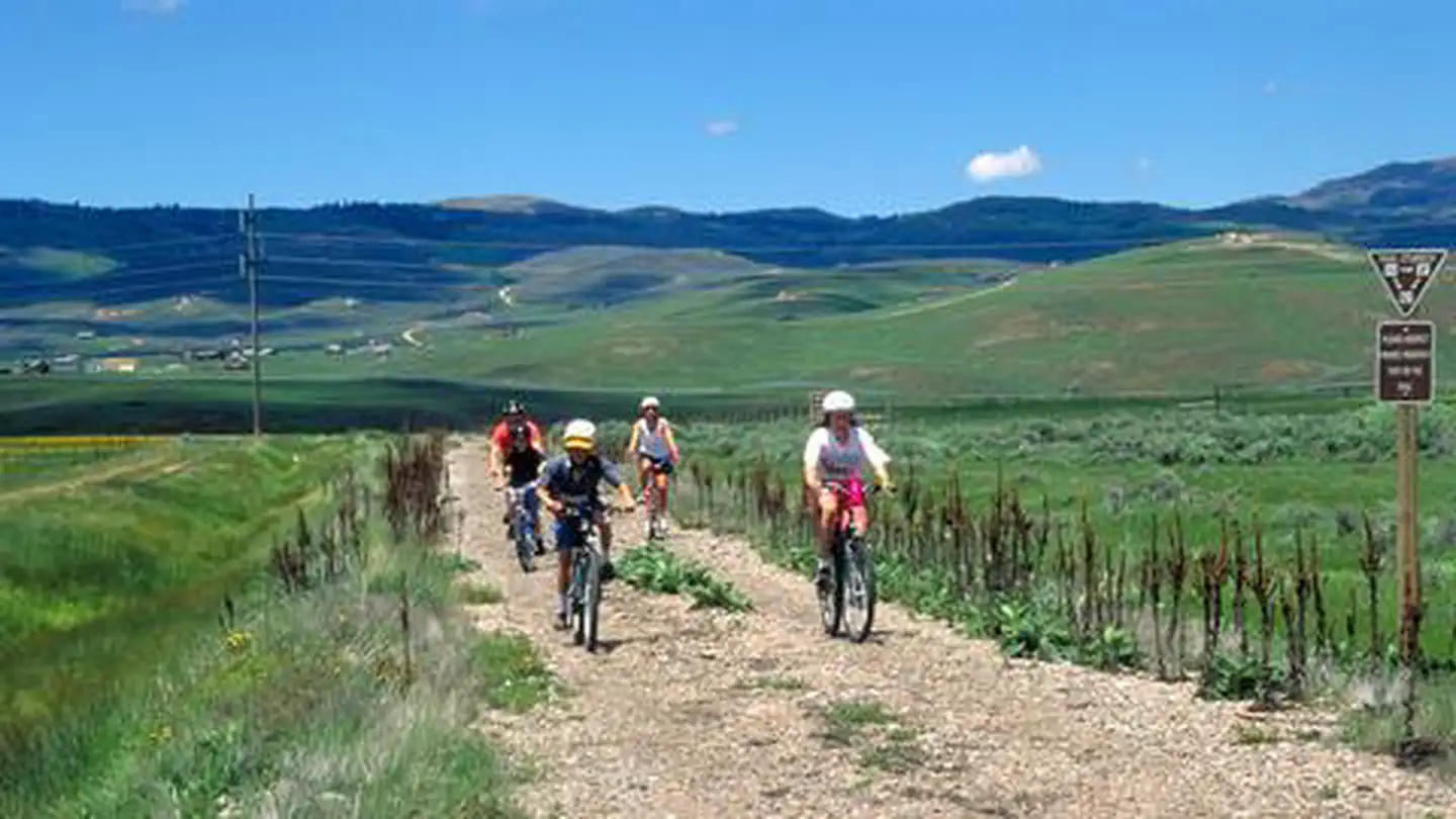
Historic Union Pacific Rail Trail
Utah
Weaving its way from Park City to Echo Reservoir, this 28-mile, non-motorized trail provides a close up view o…