Nat'l Recreation Area
Official sources & verification
Managed by National Recreation Area
Source of truth
- Agency source page
The page our published rules and notes are derived from.
Managing agency
- National Recreation Area
Find offices, alerts, and current orders for this agency.
Verify by phone or mail
- Operator:435-688-3200
- Email:blm_az_asdoweb@blm.gov
- Address:UT
About
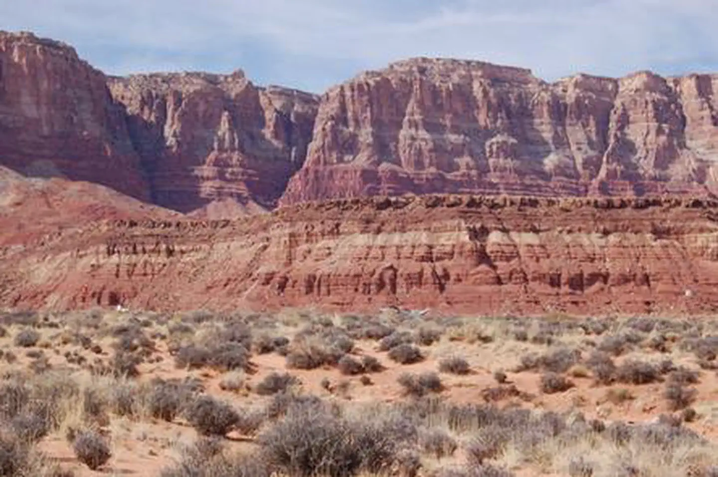
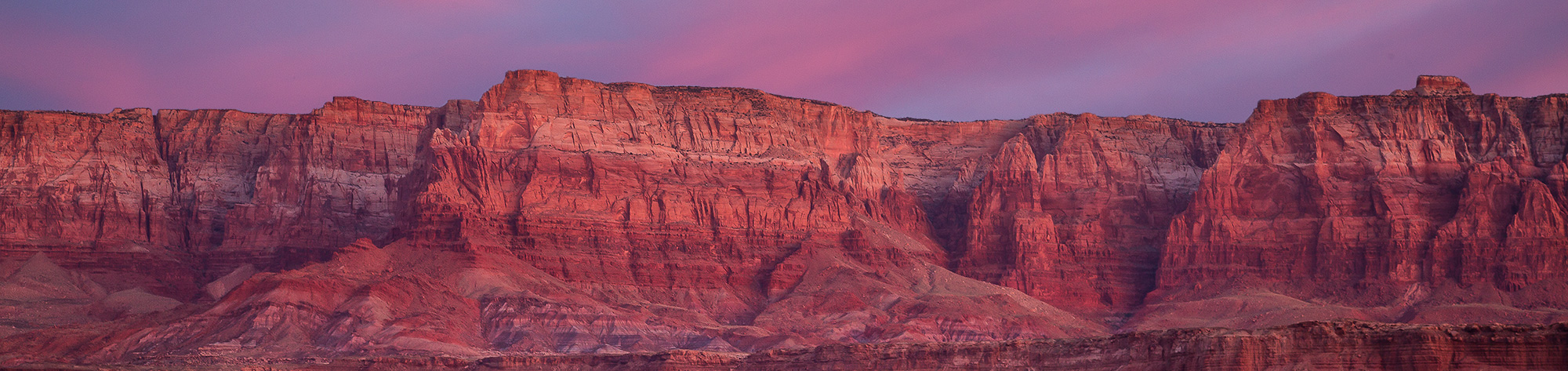
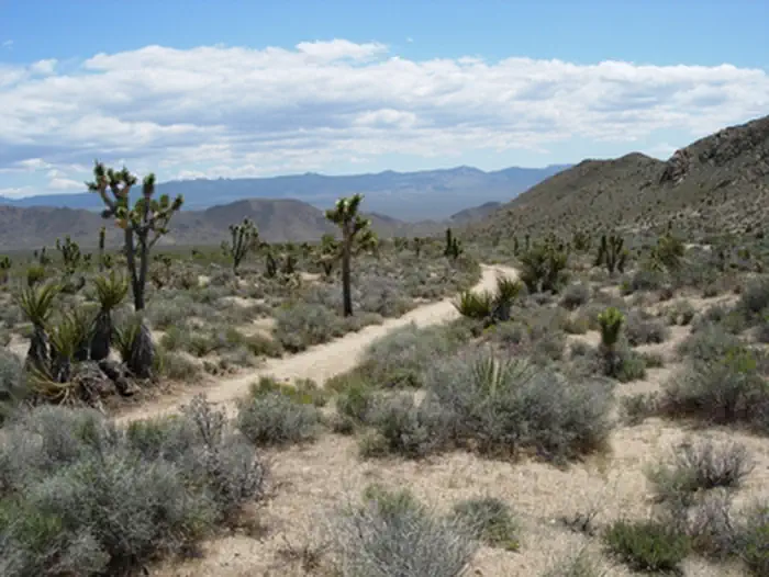
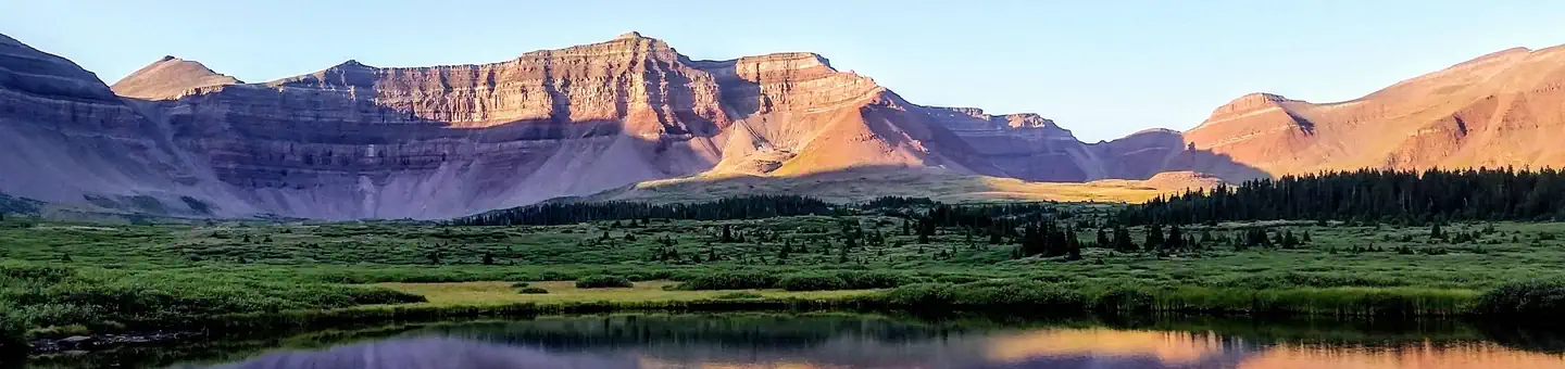
Imported descriptionVermilion Cliffs Highway embarks from the spectacular Virgin River Gorge, south of St. George, Utah, to the Navajo Nation Indian Reservation in the east. The Vermilion Cliffs Highway traverses some of the most vast and picturesque landscapes in the West. You can follow 277 miles of paved highways, passing through small rural communities. Scenic overlooks and historic sites along the highways show how people explored and survived in this remote area of northern Arizona. In many cases, the highways follow historic transportation routes used for centuries by different cultures from American Indian tribes, Spanish explorers and pioneers to modern travelers.
Source: recreation.gov
Reviews
No reviews yet
Be the first to share your experience and help others plan their visit.
Hunting in this park
Hunting is generally prohibited in this National Park Service unit
Verify current park-specific rules with the National Park Service before planning any hunt. See NPS regulations
Within ~100 miles
Parks near Vermilion Cliffs Highway
Nat'l Recreation Area
Park
Vermilion Cliffs National Monument
Utah
recreation area
Park
Wire Pass
Utah
Nat'l Recreation Area
Park
Paria Canyon-Vermilion Cliffs Wilderness
Utah
Nat'l Recreation Area
Park
Old Spanish National Historic Trail | NPS
Utah
other
Park
Old Spanish National Historic Trail
New Mexico
Nat'l Recreation Area
Park
Tilted Mesa Mountain Biking Trail System (Tilted Mesa)
Utah
Same state
More parks in Utah

Featured
National Park
Park
Arches National Park
Utah
120 sq mi

Featured
National Park
Park
Bryce Canyon National Park
Utah
56 sq mi

Featured
National Park
Park
Zion National Park
Utah
230 sq mi
Nat'l Recreation Area
Park
18 Road - North Fruita Desert
Utah

Nat'l Recreation Area
Park
Anasazi State Park Museum
Utah

Nat'l Recreation Area
Park
Antelope Island State Park
Utah
recreation area
Park
Armijo Route
Utah
Nat'l Recreation Area
Park
Ashley National Forest
Utah
Spot an error in our data on Vermilion Cliffs Highway?