1 / 2
Nat'l Recreation Area
Official sources & verification
Managed by U.S. Fish & Wildlife Service
Source of truth
- Agency source page
The page our published rules and notes are derived from.
Managing agency
- U.S. Fish & Wildlife Service
Find offices, alerts, and current orders for this agency.
Verify by phone or mail
- Operator:401-364-9124
- Email:www.friendsNWR-RI.org
- Address:RI
About
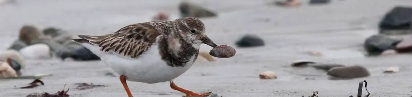
Imported descriptionTrustom Pond National Wildlife Refuge (Trustom Pond Refuge) is located on the south coast of Rhode Island in South Kingstown, Washington County (see Maps 1-1 and 1-2). The main body of the refuge is bordered by private land and the community of Green Hill to the west; by Matunuck Schoolhouse Road to the north; and by private land to the northeast and east. East of its main body, the refuge also owns a separate 52-acre parcel, bordered by private farmland to the west and east, Matunuck Schoolhouse Road on the north, and Card Ponds Road on the south. In 1974, Mrs. Ann Kenyon Morse donated the first 365 acres to the refuge. In 1982, The Audubon Society of Rhode Island donated 151 acres. The refuge now includes 787 acres in either fee title or conservation easement. The Land Protection Plan (Appendix E) expanded the refuge acquisition boundary by 1,283 acres. The refuge may now acquire up to 1,536 acres from willing sellers within the newly expanded acquisition boundary.
Source: recreation.gov
From Wikipedia
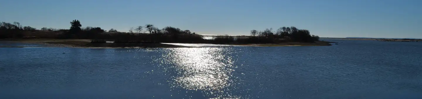
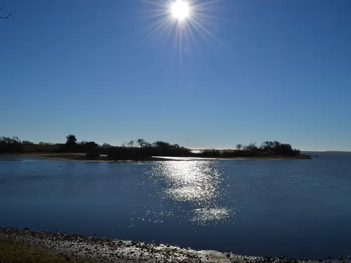
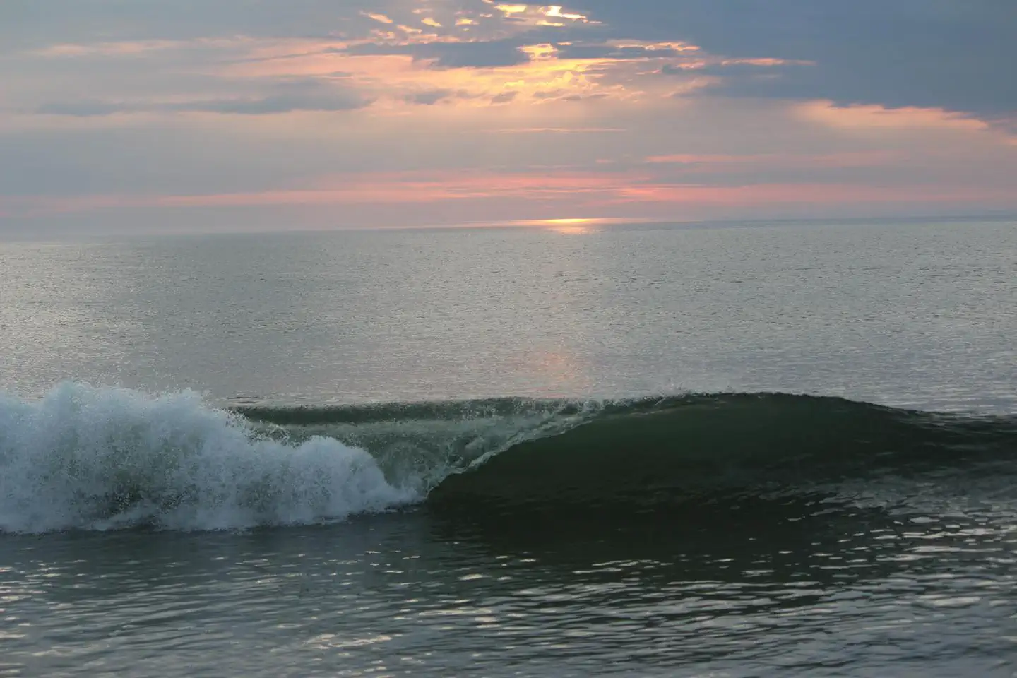
Trustom Pond is a closed lagoon in South Kingstown, Washington County, Rhode Island, United States. It is one of nine coastal lagoons in southern Rhode Island. It has a surface area of 800 acres (320 ha), and is the only undeveloped salt pond in the state. The pond averages 1.3 feet (0.40 m) deep, and has a salinity level of 5 parts per thousand. It is non-tidal, except when breached by storms. The water directly receives about 219,844,022 US gallons (832,200 m3) of precipitation per year, with an estimated 796,215 US gallons (3,014 m3) in daily groundwater flow. No streams flow into the pond, though a nearby stream "captures water that otherwise would have flowed to Trustom Pond".
Source: Wikipedia — text licensed CC BY-SA 4.0. Verify alerts and operational details with the managing agency below.
Reviews
No reviews yet
Be the first to share your experience and help others plan their visit.
Within ~100 miles
Parks near Trustom Pond National Wildlife Refuge
Nat'l Recreation Area
Park
Ninigret National Wildlife Refuge
Rhode Island
Nat'l Recreation Area
Park
John H. Chafee National Wildlife Refuge
Rhode Island
wildlife refuge
Park
Block Island National Wildlife Refuge
Rhode Island
Nat'l Recreation Area
Park
Touro Synagogue National Historic Site
Rhode Island
Nat'l Recreation Area
Park
Sachuest Point National Wildlife Refuge
Rhode Island

Nat'l Recreation Area
Park
Narragansett Bay National Estuarine Research Reserve
Rhode Island
Same state
More parks in Rhode Island
Nat'l Recreation Area
Park
Amagansett National Wildlife Refuge
Rhode Island
National Historical Park
Park
Blackstone River Valley National Historical Park
Rhode Island
Nat'l Recreation Area
Park
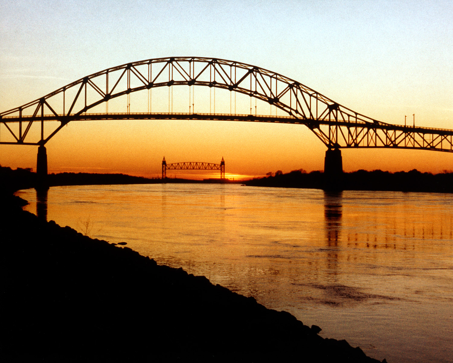
Cape Cod Canal
Rhode Island
Nat'l Recreation Area
Park
Cape Cod National Seashore
Rhode Island
Nat'l Recreation Area
Park
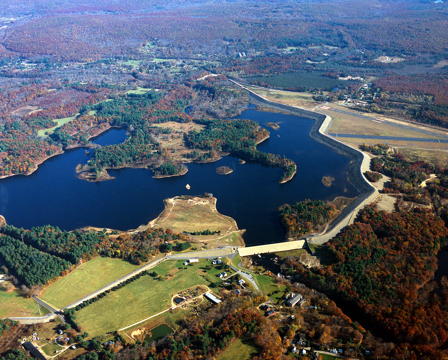
Mansfield Hollow Lake
Rhode Island
wildlife refuge
Park
Mashpee National Wildlife Refuge
Rhode Island
Nat'l Recreation Area
Park
Massasoit National Wildlife Refuge
Rhode Island
Nat'l Recreation Area
Park
Monomoy National Wildlife Refuge
Rhode Island
Spot an error in our data on Trustom Pond National Wildlife Refuge?