No photos yet
Official sources & verification
Managed by U.S. Fish & Wildlife Service
Source of truth
- Agency source page
The page our published rules and notes are derived from.
Managing agency
- U.S. Fish & Wildlife Service
Find offices, alerts, and current orders for this agency.
Verify by phone or mail
- Operator:409-971-2909
- Email:null
- Address:LA
About
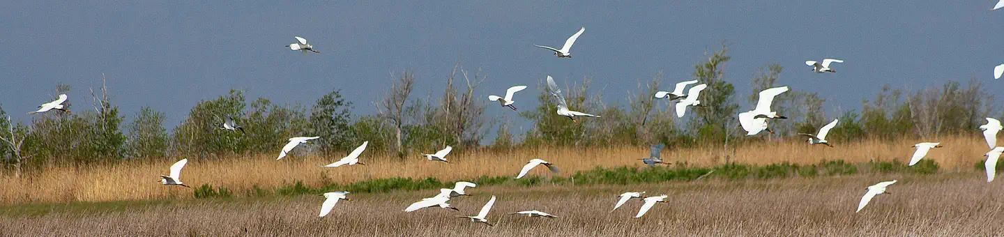
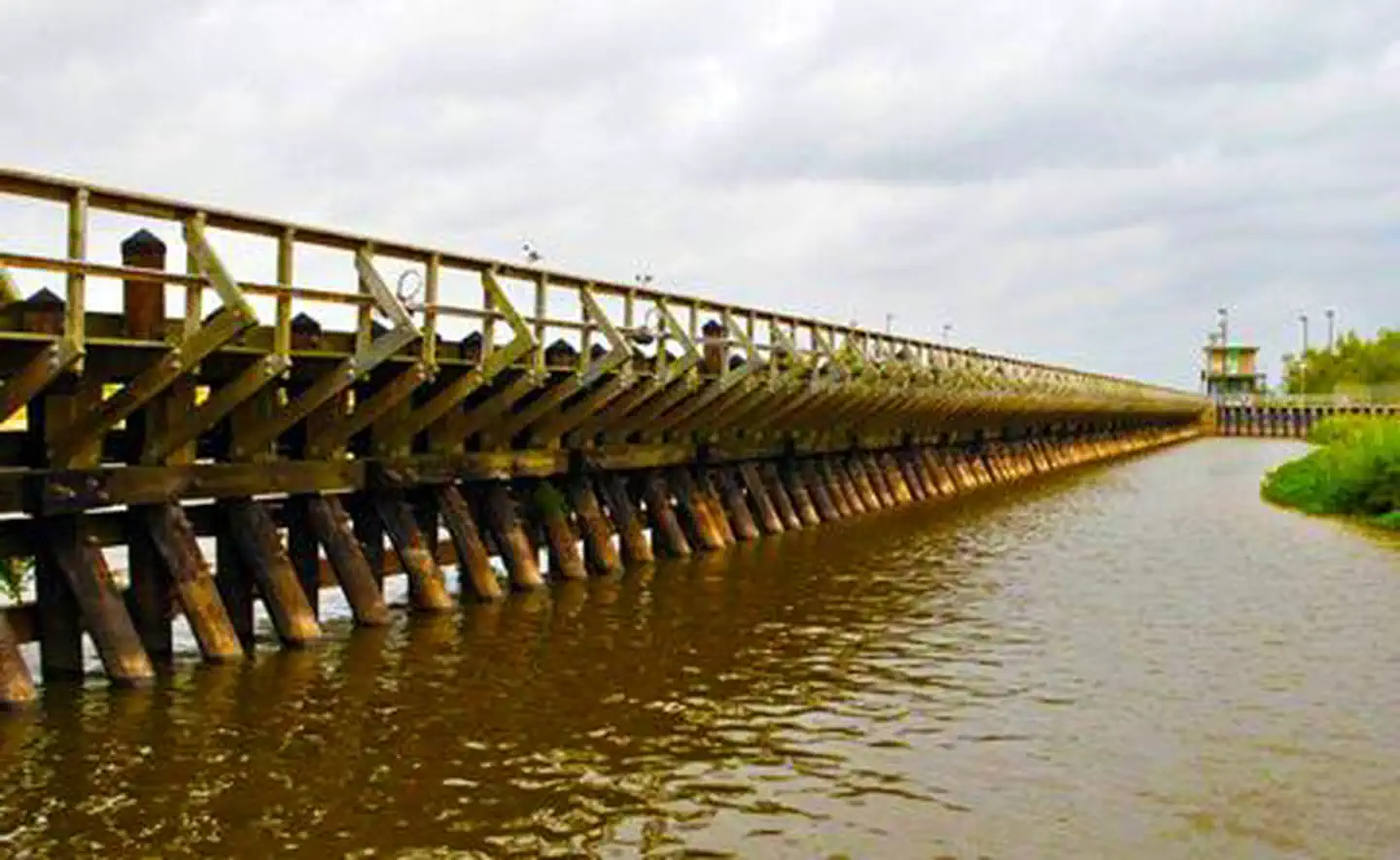
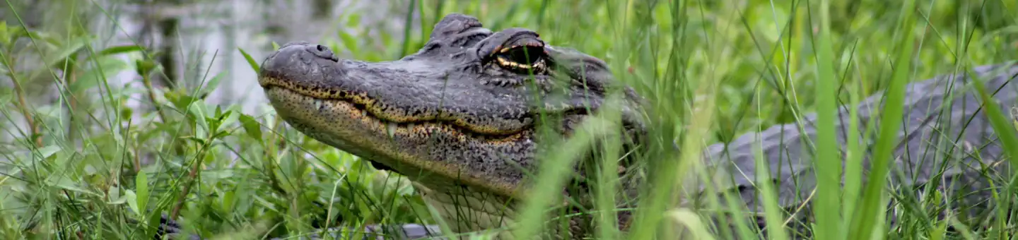
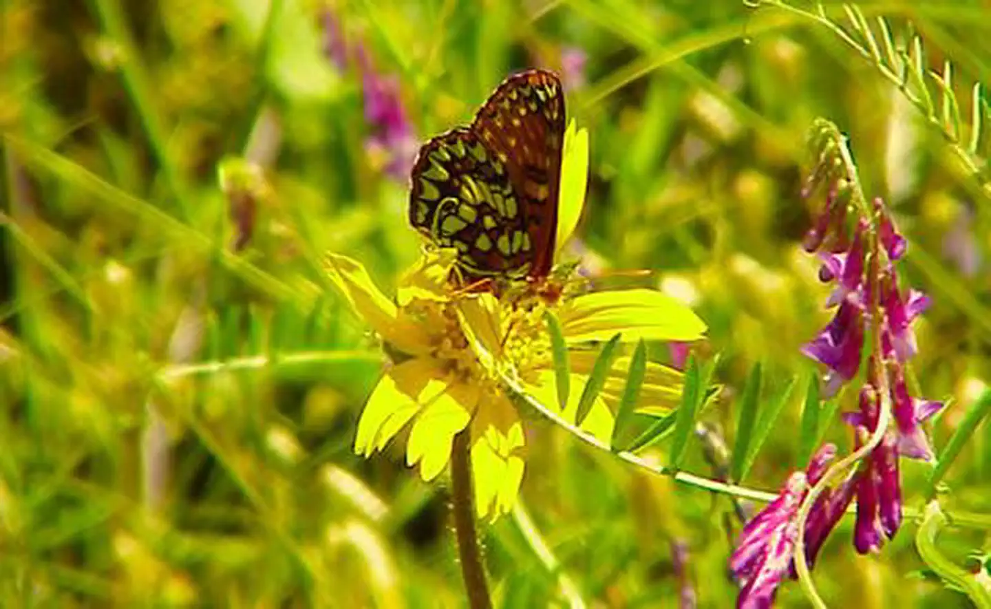
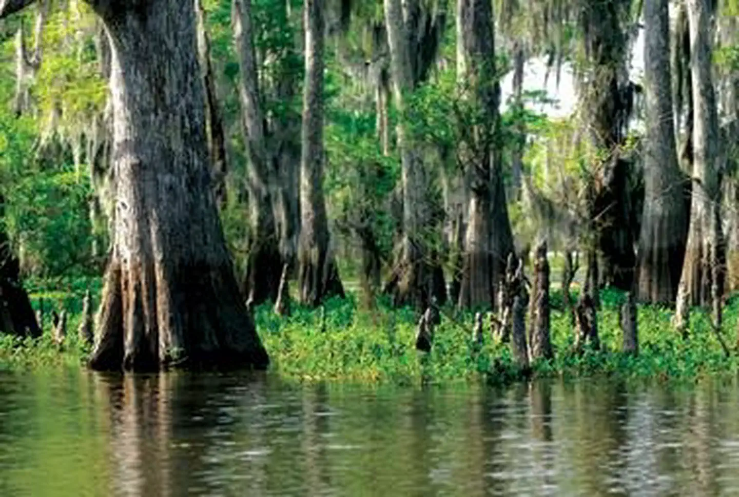
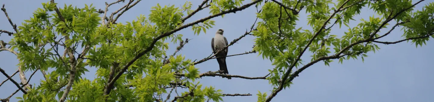
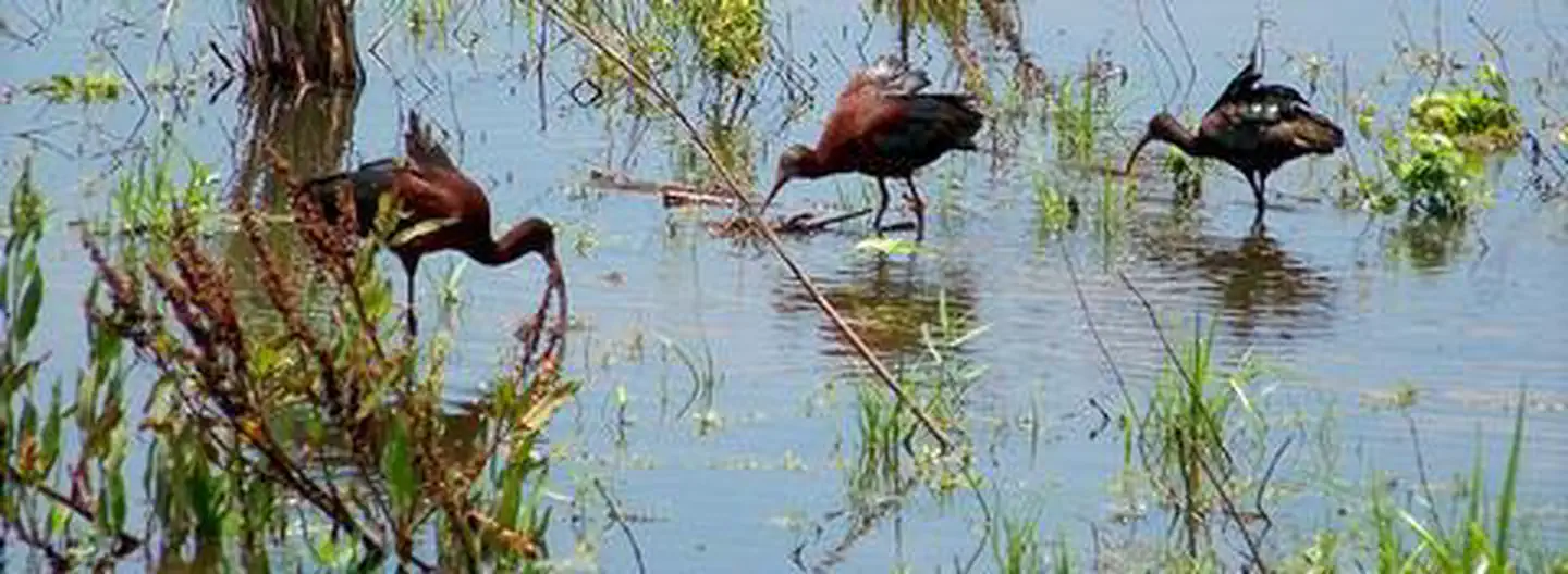
Imported descriptionThe Karankawas fished and hunted here in 10-12,000 B.C. and the discovery of stone scraping tools, arrows and spear points, along with bones of bison, mastodons, wooly mammoth and saber-toothed tigers, suggest a bountiful hunting and gathering lifestyle. The arrival of the Spanish in the 18th century marked the beginning of the end of the cultures of the Atakapa and Karankawas. For centuries, these people piled discarded shells near bays that gradually became shell mounds where trees took root.While the mounds memorialize the presence of the first peoples on the Texas Gulf Coast, today, the small woodlots found growing on the mounds serve as magnets to migrating songbirds looking for a resting perch after a long, exhausting flight over the Gulf of Mexico. The woodlots along with the refuge’s marshes, tidal flats and ponds provide important feeding, breeding and nesting habitat utilized by many resident and migratory wildlife species.Established in 1979 under the authority of the Migratory Bird Conservation Commission, Texas Point National Wildlife Refuge protects 8,972 acres of coastal marsh habitat and is managed for its wildlife and habitat. Open to the public, visitors can enjoy wildlife-dependent recreation, including hunting, fishing, crabbing and wildlife watching and photography.Texas Point is part of the National Wildlife Refuge System, a national network of lands and waters set aside for the benefit of wildlife, habitat and you.
Source: recreation.gov
From Wikipedia
McFaddin National Wildlife Refuge and Texas Point National Wildlife Refuge are both located in southern Jefferson County on the upper Texas coast. McFaddin, the larger one, is located at around 29°40′00″N 94°09′00″W, has a total area of 58,861.43 acres (238.2038 km2). Texas Point, the smaller, is located near the Louisiana border at Sabine Pass, around 29°42′00″N 93°53′00″W, and has 8,952.02 acres (36.2275 km2). The refuges have a combined 105.96 square miles (274.4 km2) of fish and wildlife habitat.
Source: Wikipedia — text licensed CC BY-SA 4.0. Verify alerts and operational details with the managing agency below.
Reviews
No reviews yet
Be the first to share your experience and help others plan their visit.
Within ~100 miles
Parks near Texas Point National Wildlife Refuge

wildlife refuge
Park
McFaddin National Wildlife Refuge
Louisiana
Nat'l Recreation Area
Park
Sabine National Wildlife Refuge
Louisiana

Nat'l Recreation Area
Park
Jocelyn Nungaray National Wildlife Refuge
Louisiana
Nat'l Recreation Area
Park
Wallisville Lake
Louisiana
Nat'l Recreation Area
Park
Cameron Prairie National Wildlife Refuge
Louisiana

wildlife refuge
Park
Trinity River National Wildlife Refuge
Louisiana
Same state
More parks in Louisiana
recreation area
Park
Atchafalaya Basin
Louisiana
Nat'l Recreation Area
Park
Atchafalaya National Heritage Area
Louisiana
wildlife refuge
Park
Atchafalaya National Wildlife Refuge
Louisiana
wildlife refuge
Park
Attwater Prairie Chicken National Wildlife Refuge
Louisiana

Nat'l Recreation Area
Park
Bayou Bodcau Reservoir
Louisiana
wildlife refuge
Park
Bayou Cocodrie National Wildlife Refuge
Louisiana
Nat'l Recreation Area
Park
Bayou Teche National Wildlife Refuge
Louisiana
wildlife refuge
Park
Big Boggy National Wildlife Refuge
Louisiana
Spot an error in our data on Texas Point National Wildlife Refuge?