1 / 4
Nat'l Recreation Area
Official sources & verification
Managed by National Recreation Area
Source of truth
- Texas Creek — official page
Operator-published page with current visitor information.
- Agency source page
The page our published rules and notes are derived from.
Managing agency
- National Recreation Area
Find offices, alerts, and current orders for this agency.
Verify by phone or mail
- Operator:719-269-8500
- Address:CO
About
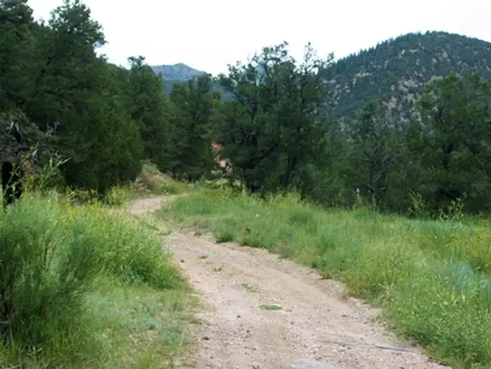
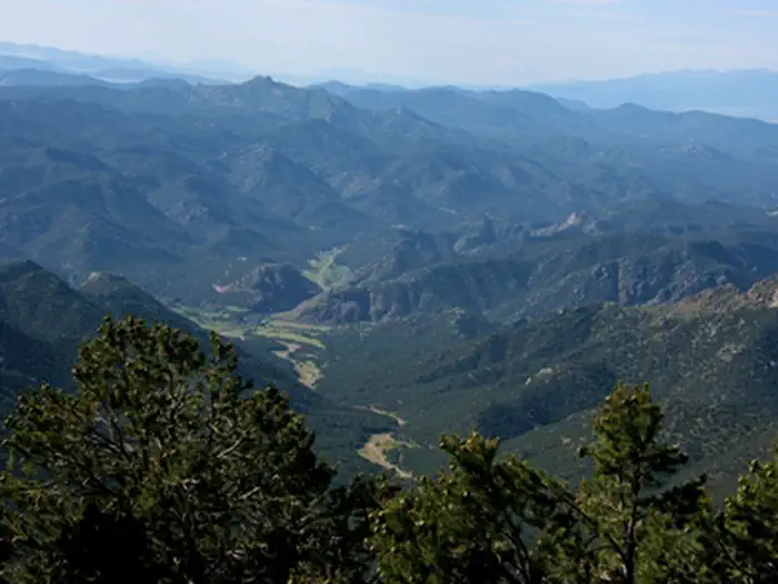
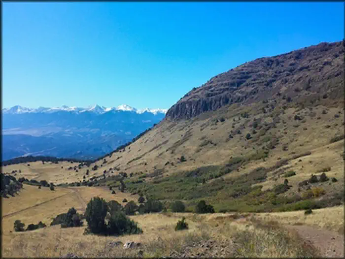
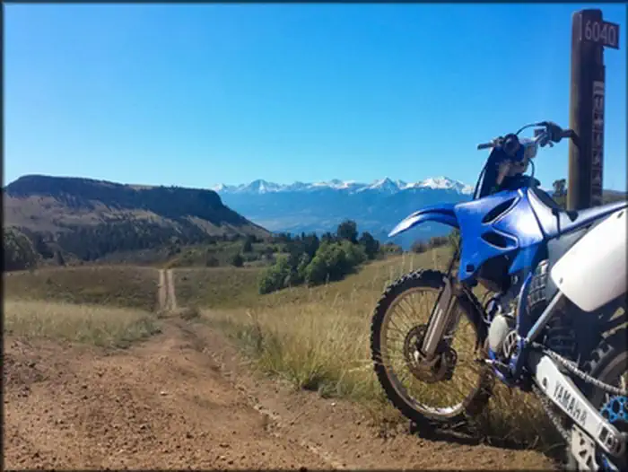
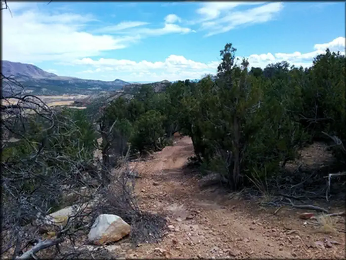
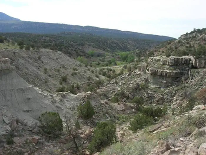
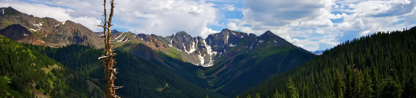
Imported descriptionThe Texas Creek Recreation area is located west of Canon City and is a popular high-use area for motorized recreation users. The area is often rideable year round because it doesn't get much snow, and the snow it does get usually melts quickly. There are some mines and prospects to look at, and views from the higher hills reveal scenic views of the Sangre de Cristo Range. This area has around 45 miles of marked trails the range from easy 4x4 road to narrow and rocky ATV trails with sharp switchbacks. At lower elevations the trails wind through a mix of various scrub, juniper and pinon pine trees. As you continue to climb in elevation, the vegetation changes to mostly spruce, aspen, and Douglas- fir trees. Mule deer, bighorn sheep and elk can sometimes be seen in this area. For more information, please contact the Royal Gorge Field Office.
Source: recreation.gov
Reviews
No reviews yet
Be the first to share your experience and help others plan their visit.
Hunting in this park
Hunting is generally prohibited in this National Park Service unit
Verify current park-specific rules with the National Park Service before planning any hunt. See NPS regulations
Within ~100 miles
Parks near Texas Creek
Nat'l Recreation Area
Park
Seep Springs OHV Area
Colorado
Nat'l Recreation Area
Park
Garden Park Fossil Area
Colorado
Nat'l Recreation Area
Park
Gold Belt Recreation Management Area
Colorado
Nat'l Recreation Area
Park
Arkansas Headwaters Recreation Area
Colorado

Nat'l Recreation Area
Park
Shelf Road Sites
Colorado
recreation area
Park
PSICC
Colorado
Same state
More parks in Colorado

Featured
National Park
Park
Rocky Mountain National Park
Colorado
415 sq mi
Featured
National Forest
Park
White River National Forest
Colorado
3,572 sq mi
Nat'l Recreation Area
Park
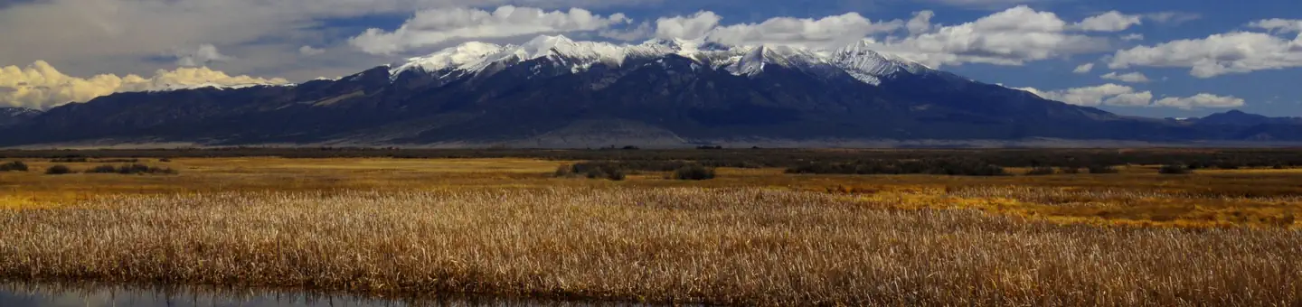
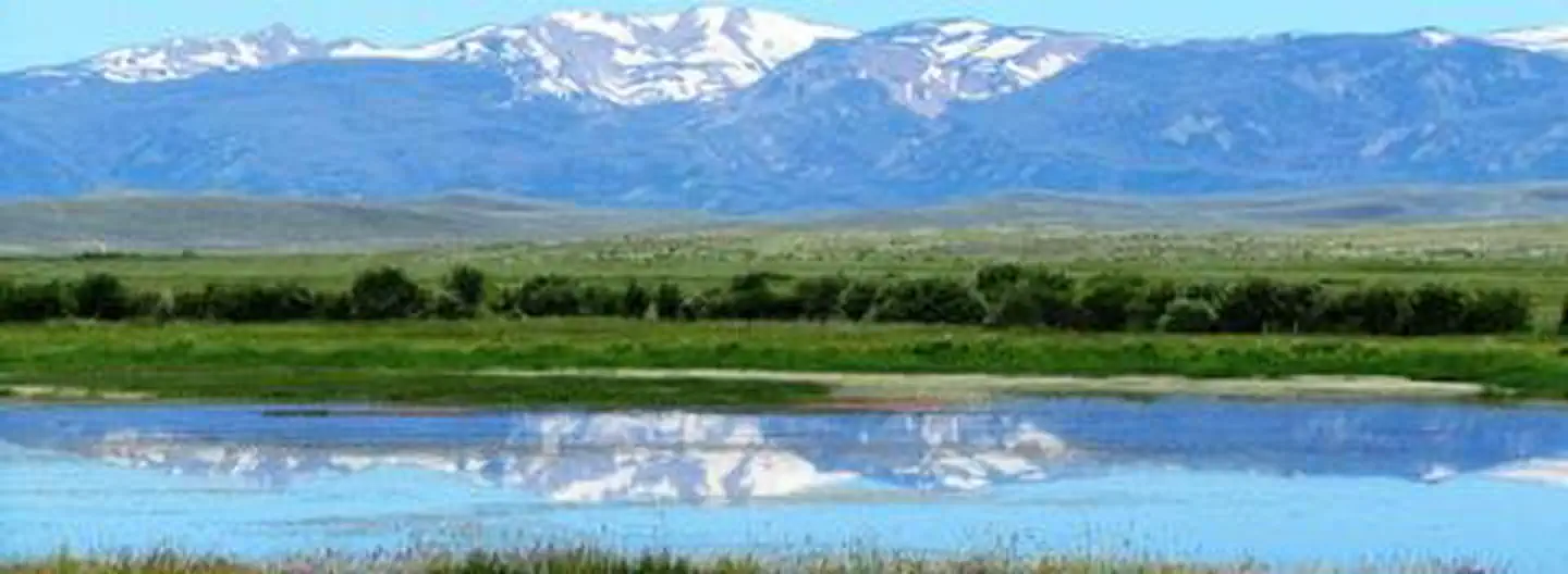
Alamosa National Wildlife Refuge
Colorado
Nat'l Recreation Area
Park
Alpine Loop
Colorado
National Historic Site
Park
Amache National Historic Site
Colorado

Nat'l Recreation Area
Park
Arapaho & Roosevelt National Forests Pawnee NG
Colorado
National Forest
Park
Arapaho and Roosevelt National Forests
Colorado
2,403 sq mi
wildlife refuge
Park
Arapaho National Wildlife Refuge
Colorado
Spot an error in our data on Texas Creek?