
Official sources & verification
Managed by National Recreation Area
Source of truth
- Agency source page
The page our published rules and notes are derived from.
Managing agency
- National Recreation Area
Find offices, alerts, and current orders for this agency.
Verify by phone or mail
- Operator:(304) 872-3412
- Address:WV
About
Imported descriptionSource: recreation.gov
From Wikipedia
Source: Wikipedia — text licensed CC BY-SA 4.0. Verify alerts and operational details with the managing agency below.
Reviews
No reviews yet
Be the first to share your experience and help others plan their visit.
Hunting in this park
Hunting is generally prohibited in this National Park Service unit
Verify current park-specific rules with the National Park Service before planning any hunt. See NPS regulations
Within ~100 miles
Parks near Summersville Lake
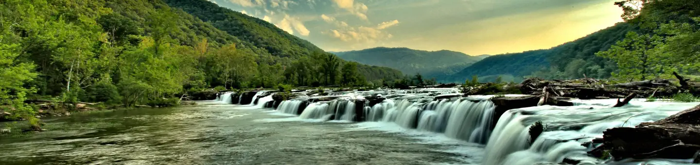
Gauley River National Recreation Area
West Virginia
New River Gorge National Park & Preserve
West Virginia
Kanawha River - London Pool
West Virginia
Sutton Lake
West Virginia
Kanawha River - Marmet Pool
West Virginia

Bluestone Lake
West Virginia
Same state
More parks in West Virginia
Monongahela National Forest
West Virginia
Appalachian National Scenic Trail
West Virginia
Beech Fork Lake
West Virginia
Blue Ridge National Heritage Area
West Virginia
Bluestone National Scenic River
West Virginia

Burnsville Lake
West Virginia

Canaan Valley National Wildlife Refuge
West Virginia
Fort Necessity National Battlefield
West Virginia