1 / 3
Nat'l Recreation Area
Official sources & verification
Managed by Bureau of Land Management
Source of truth
- Agency source page
The page our published rules and notes are derived from.
Managing agency
- Bureau of Land Management
Find offices, alerts, and current orders for this agency.
Verify by phone or mail
- Operator:541-416-6700
- Email:BLM_OR_PR_Mail@blm.gov
- Address:OR
About
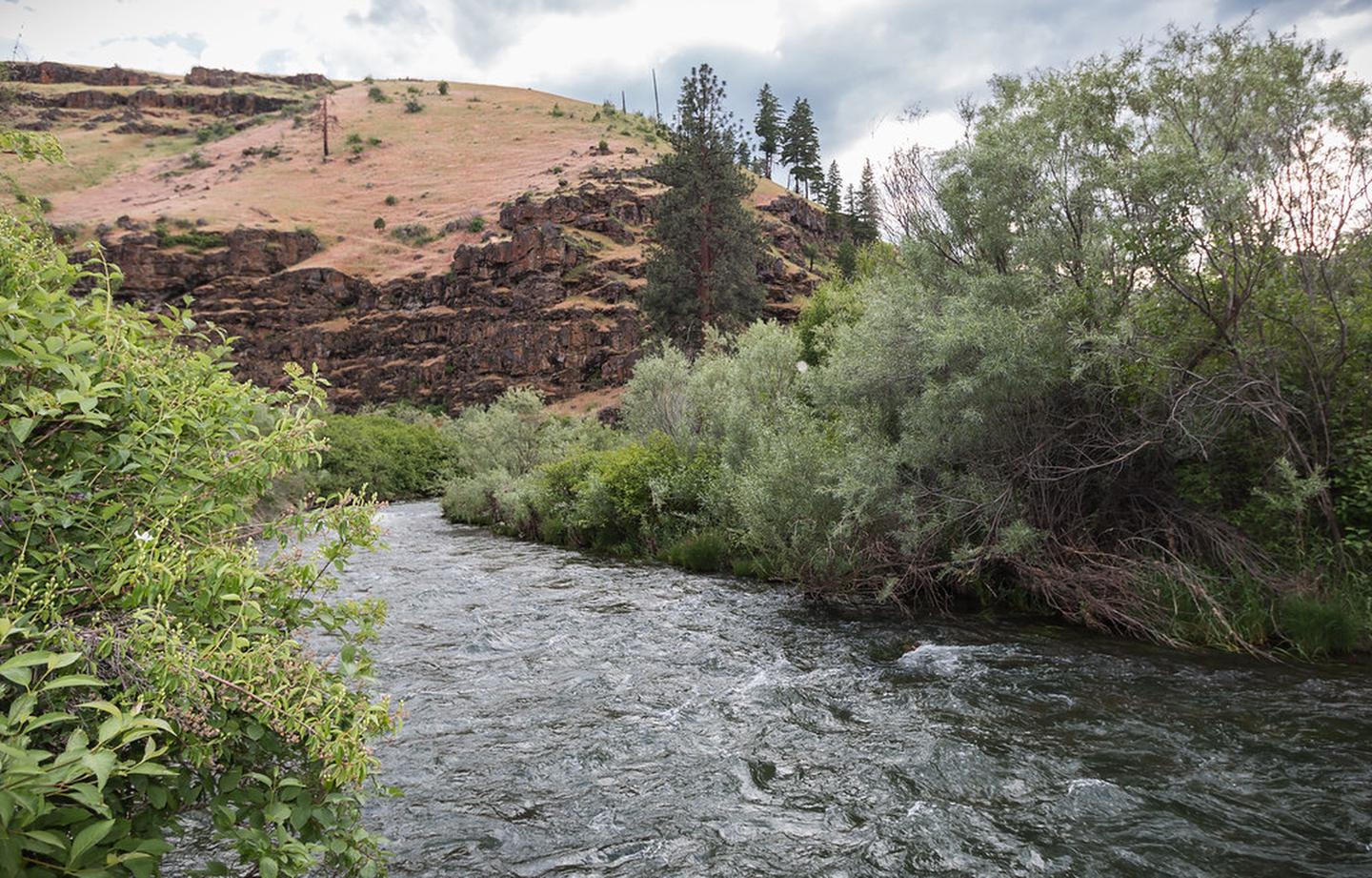
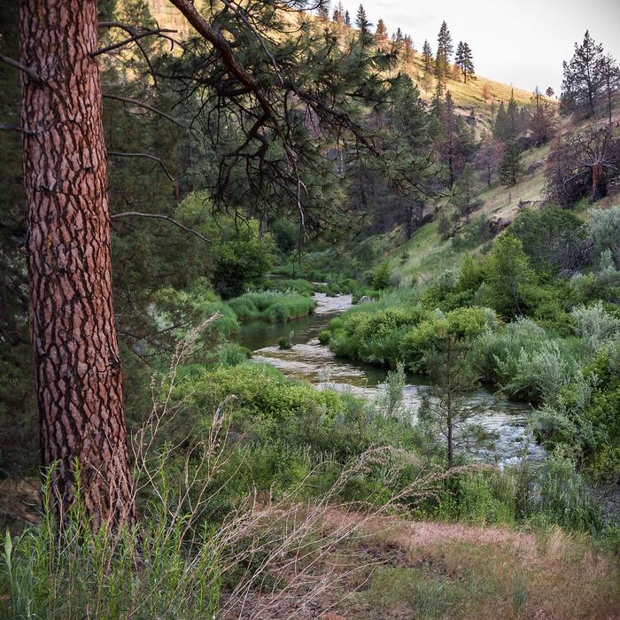
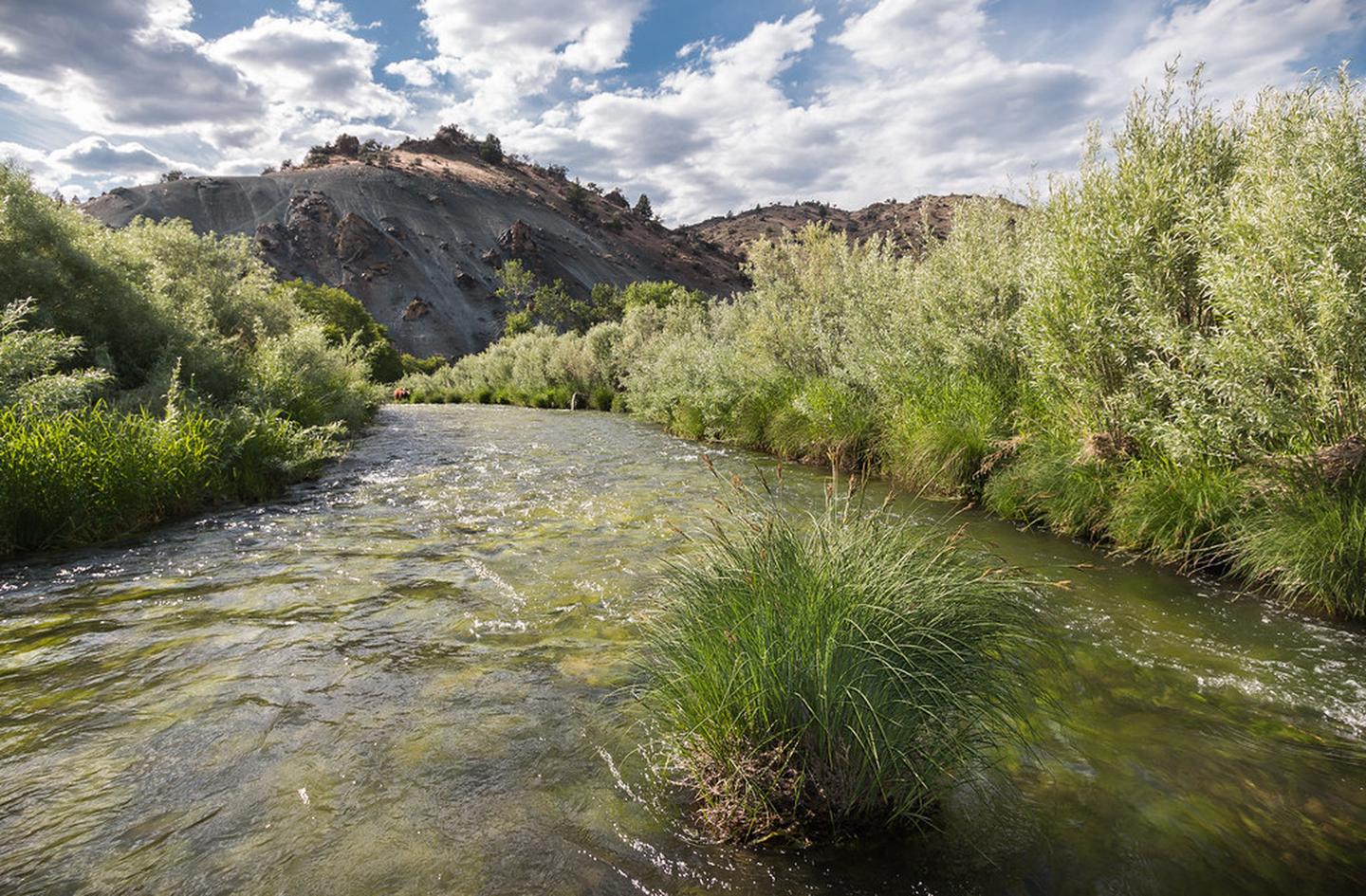
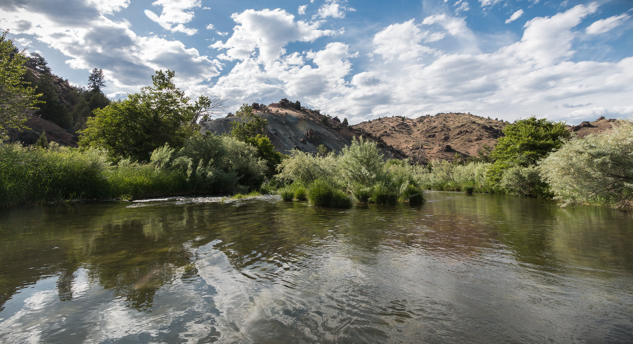
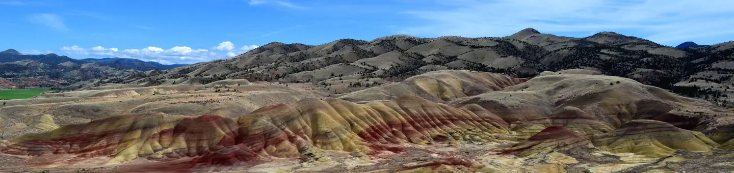
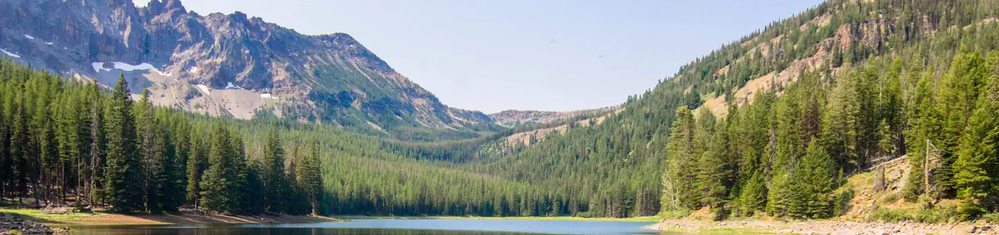
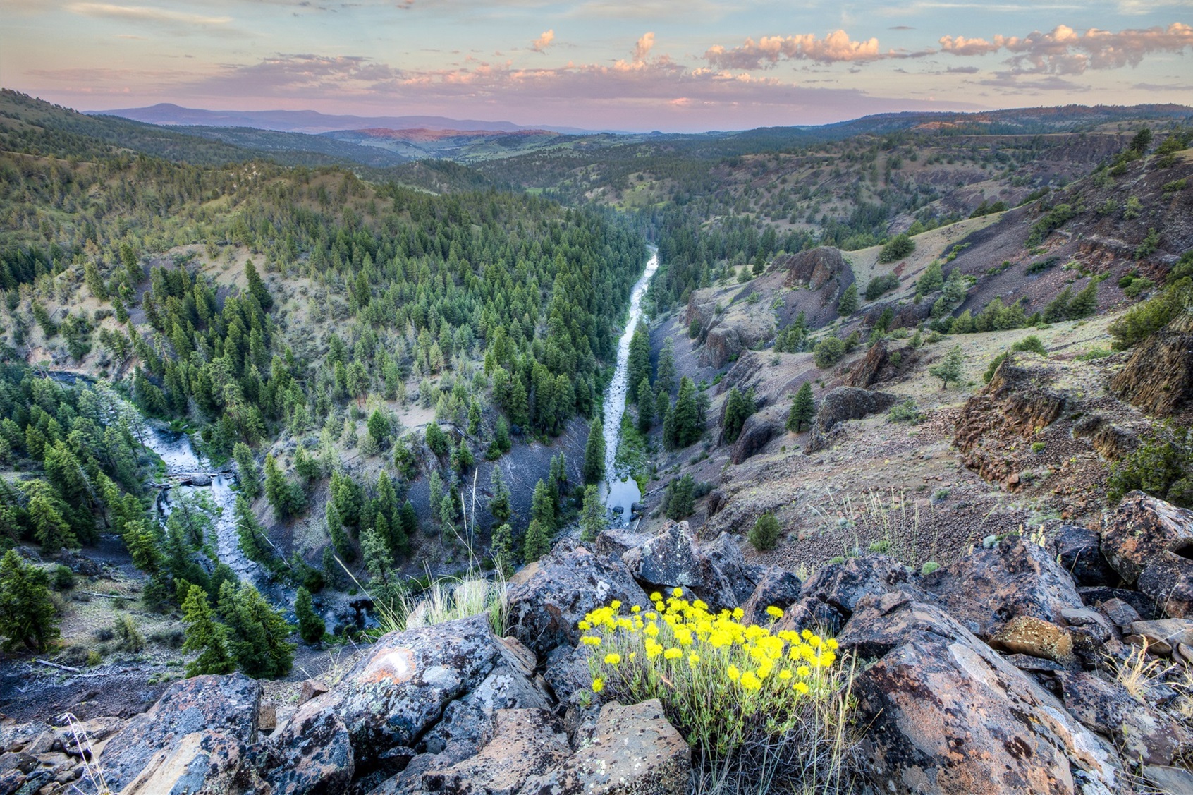
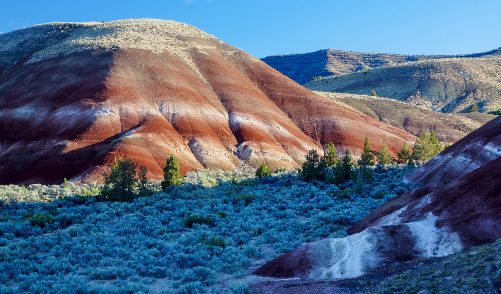
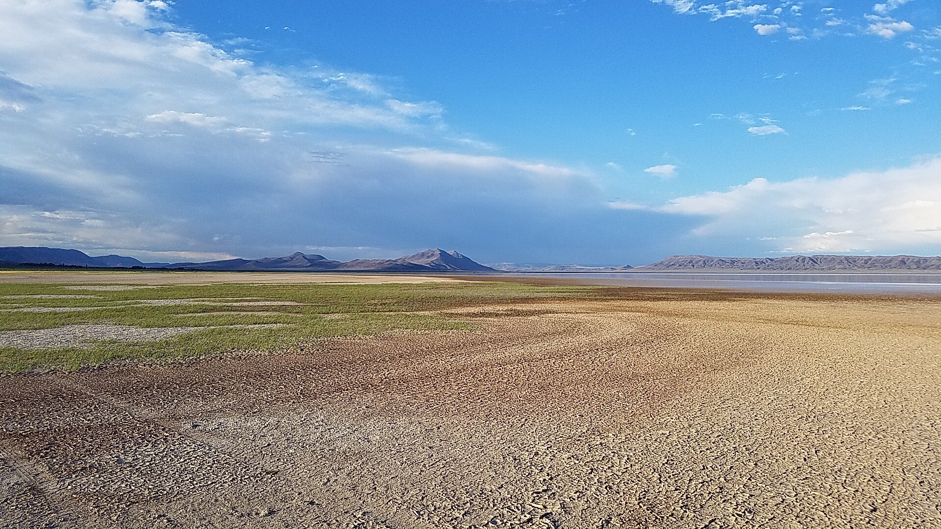
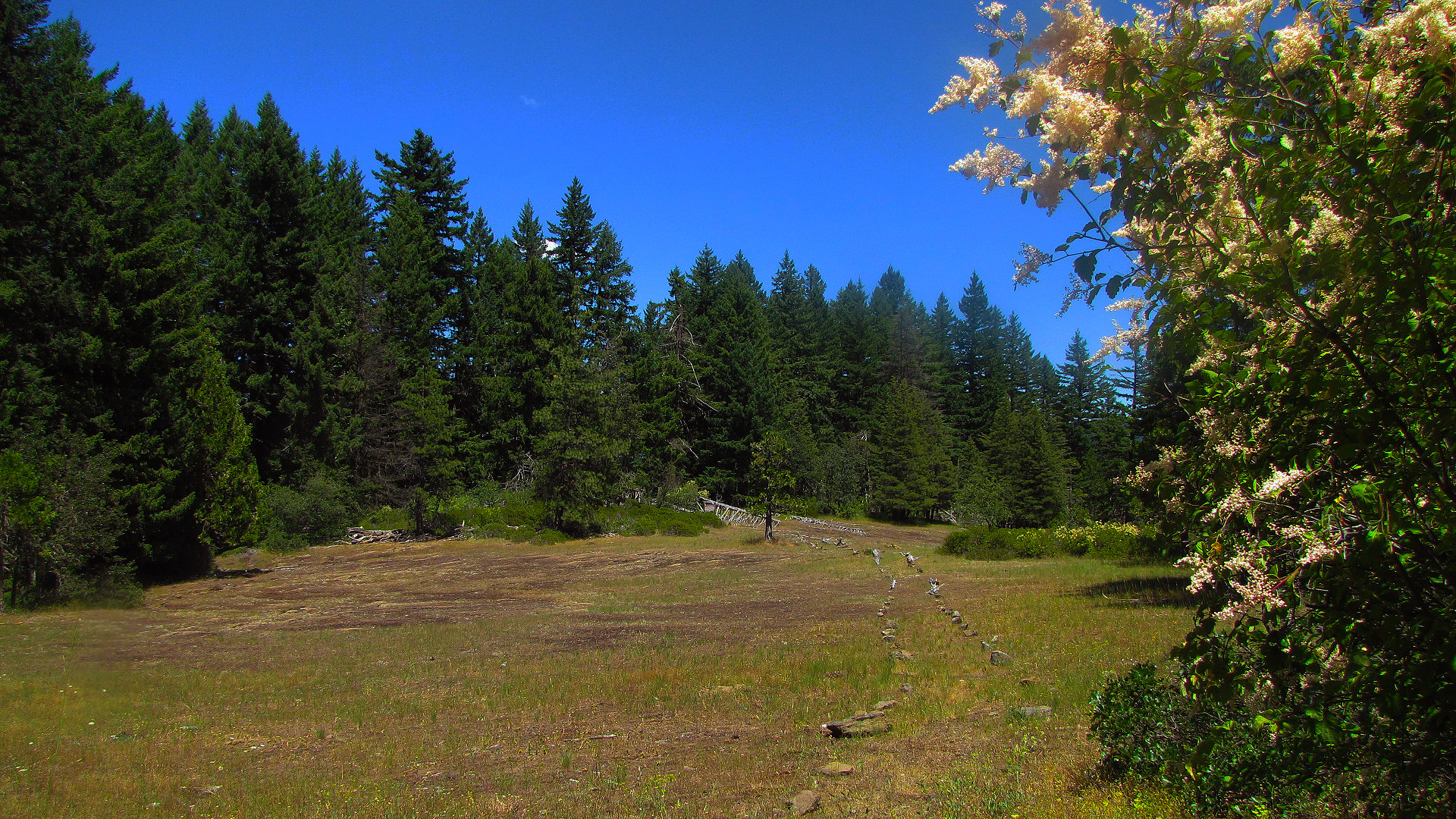
Imported descriptionThis gravelled Back Country Byway parallels the Wild and Scenic South Fork John Day River through its incised canyon for a distance of 50 miles from its northern terminus at Dayville to the northern border of Malheur National Forest to the south. This drive takes visitors through deep canyons of Columbia River Basalts, through stands of old growth ponderosa pines, Douglas and white fir, and willows that line the road. The river itself contains beautiful rapids and the Izee Falls, which drops 56 feet vertically.Along the way, you’ll pass the Aldrich Mountain Wilderness Study Area as well as the Black Canyon Wilderness, two areas with ample opportunities for hiking, hunting and wildlife viewing. The Murderer's Creek area has plentiful wildlife, including deer, elk, black bear, coyotes, bighorn sheep, and upland birds.Know Before You GoThis high-standard gravel road is suitable for most passenger vehicles; however, know that some stretches of this road are single-vehicle width.No developed recreation facilities exist along this route but dispersed camping opportunities abound. Nine miles south of Dayville, the Black Canyon East Trailhead offers hiking access into the Black Canyon Wilderness.Cell phone service is not available along this back country byway.Point of InterestFor people who like to learn about the past, you can drive by the historic Rockpile Ranch. This private ranch was established in the late 19th century and is still in operation today. Also, there is a small two-room schoolhouse located in Izee, about 34 miles upstream from Dayville. The school was used until 1989, when it closed its doors to students. Now it is used for community functions.
Source: recreation.gov
Reviews
No reviews yet
Be the first to share your experience and help others plan their visit.
Hunting in this park
This park overlaps hunting unit
During hunting seasons, wear blaze orange and check regulations — see the Oregon hunting page
Within ~100 miles
Parks near South Fork John Day River Back Country Byway
Nat'l Recreation Area
Park
South Fork John Day Wild and Scenic River
Oregon
Nat'l Recreation Area
Park
John Day Fossil Beds National Monument
Oregon
Nat'l Recreation Area
Park
Malheur National Forest
Oregon
recreation area
Park
North Fork Crooked Wild and Scenic River
Oregon
National Forest
Park
Ochoco National Forest
Oregon
1,321 sq mi
Nat'l Recreation Area
Park
Sutton Mountain Back Country Byway
Oregon
Same state
More parks in Oregon

Featured
National Park
Park
Crater Lake National Park
Oregon
286 sq mi
Featured
National Forest
Park
Mt. Hood National Forest
Oregon
1,667 sq mi
Nat'l Recreation Area
Park
Agate Reservoir
Oregon
recreation area
Park
Agency Lake Ranch
Oregon
Nat'l Recreation Area
Park
Alvord Desert
Oregon

wildlife refuge
Park
Ankeny National Wildlife Refuge
Oregon
Nat'l Recreation Area
Park
Baker Cypress Trail
Oregon
Nat'l Recreation Area
Park
Bandon Marsh National Wildlife Refuge
Oregon
Spot an error in our data on South Fork John Day River Back Country Byway?