No photos yet
Official sources & verification
Managed by National Recreation Area
Source of truth
- Agency source page
The page our published rules and notes are derived from.
Managing agency
- National Recreation Area
Find offices, alerts, and current orders for this agency.
Verify by phone or mail
- Operator:435-896-1500
- Email:utrfmail@blm.gov
- Address:UT
About
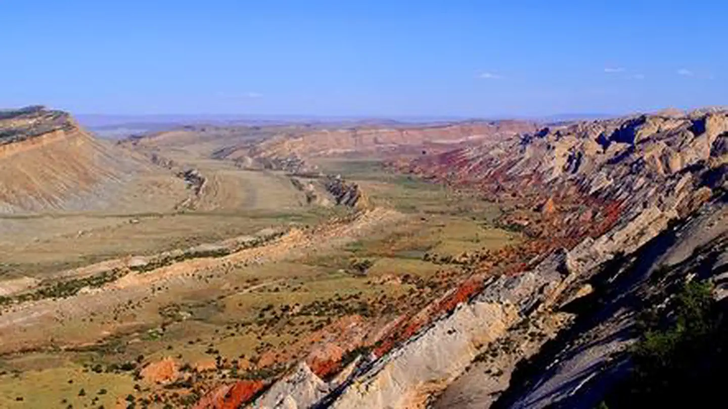
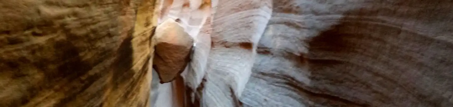
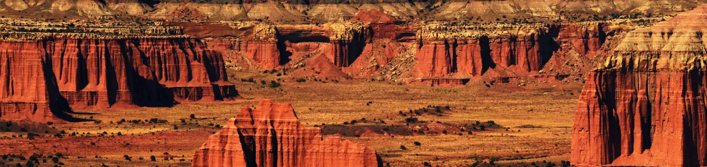
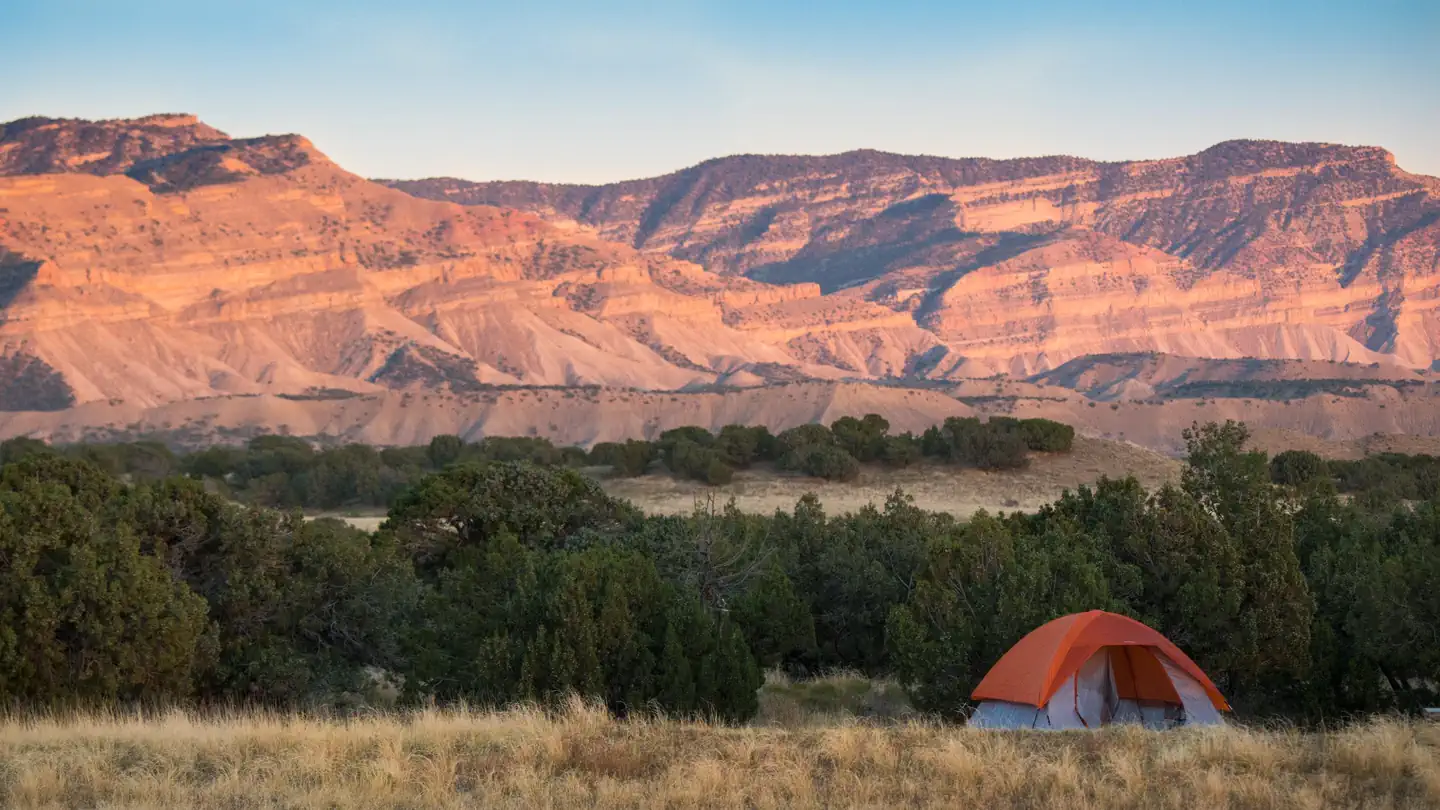
Imported descriptionSevier Canyon, also known as Marysvale Canyon, lies along the Paiute and Sevier County lines. Utah State Highway 89 runs directly down its course along the west side, with the Sevier River in its bottom. The river attracts rafters, tubers, fishermen, campers, and has a developed and popular bike path running along the East side of the river to the resort of Big Rock Cany Mountain. Access to the trail can be found at the mouth of the canyon, Joseph, Elsinore, and Central. Access is planned to be available through the town of Richfield as the trail continues to be developed. The scenic views in Sevier Canyon are excellent.
Source: recreation.gov
From Wikipedia
The Sevier River is a 400-mile (640 km)-long river in the Great Basin of southwestern Utah in the United States. Originating west of Bryce Canyon National Park, the river flows north through a chain of high farming valleys and steep canyons along the west side of the Sevier Plateau before turning southwest and terminating in the endorheic basin of Sevier Lake in the Sevier Desert. It is used extensively for irrigation along its course, with the consequence that Sevier Lake is usually dry.
Source: Wikipedia — text licensed CC BY-SA 4.0. Verify alerts and operational details with the managing agency below.
Reviews
No reviews yet
Be the first to share your experience and help others plan their visit.
Hunting in this park
Hunting is generally prohibited in this National Park Service unit
Verify current park-specific rules with the National Park Service before planning any hunt. See NPS regulations
Within ~100 miles
Parks near Sevier River
Same state
More parks in Utah

Featured
National Park
Park
Arches National Park
Utah
120 sq mi

Featured
National Park
Park
Bryce Canyon National Park
Utah
56 sq mi

Featured
National Park
Park
Zion National Park
Utah
230 sq mi
Nat'l Recreation Area
Park
18 Road - North Fruita Desert
Utah

Nat'l Recreation Area
Park
Anasazi State Park Museum
Utah
Nat'l Recreation Area
Park
Antelope Island State Park
Utah
recreation area
Park
Armijo Route
Utah
National Forest
Park
Ashley National Forest
Utah
2,160 sq mi
Spot an error in our data on Sevier River?