1 / 4
Nat'l Recreation Area
Official sources & verification
Managed by National Recreation Area
Source of truth
- Agency source page
The page our published rules and notes are derived from.
Managing agency
- National Recreation Area
Find offices, alerts, and current orders for this agency.
Verify by phone or mail
- Operator:(715) 483-2274
- Email:SACN_Info@nps.gov
- Address:MN
About
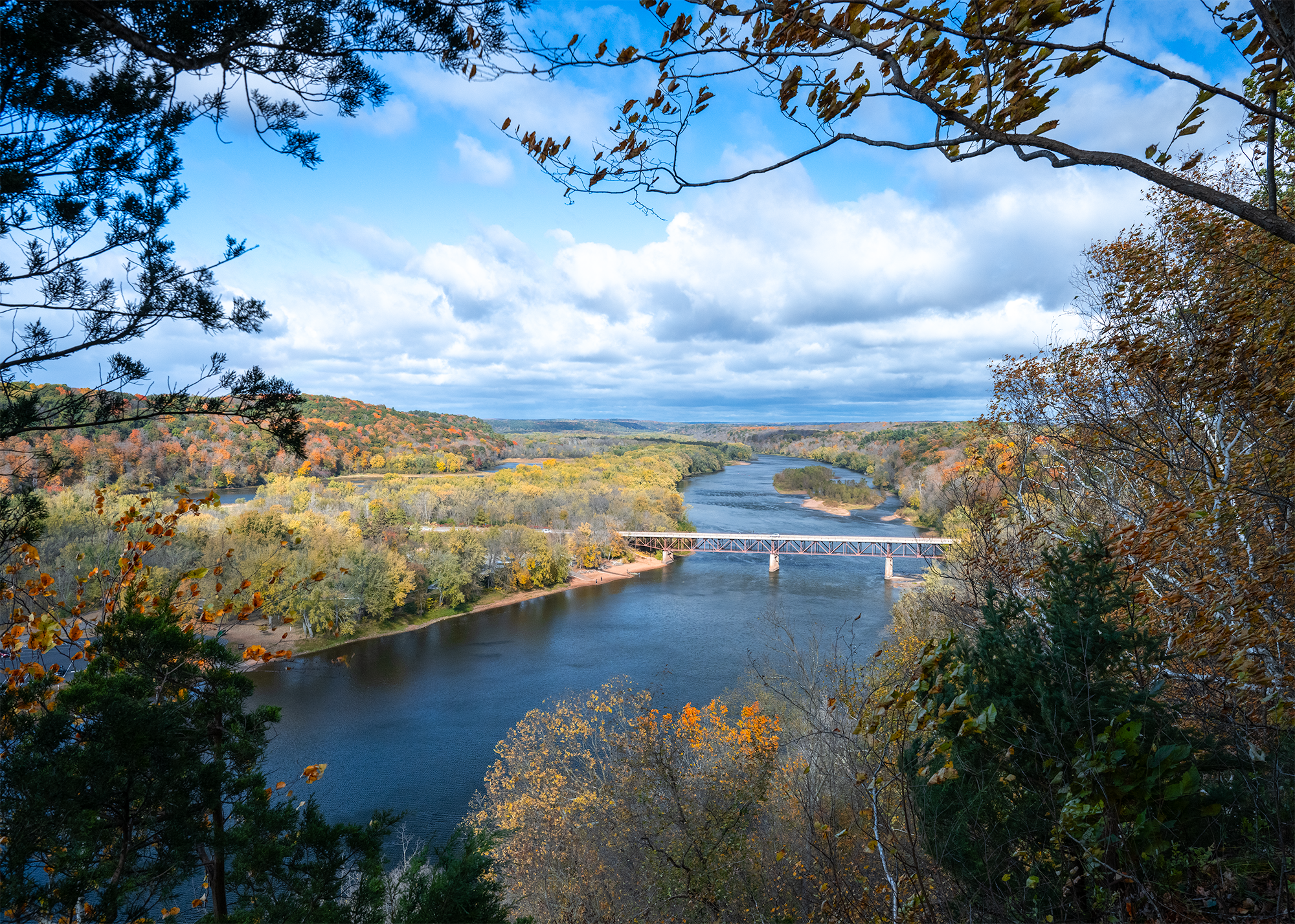
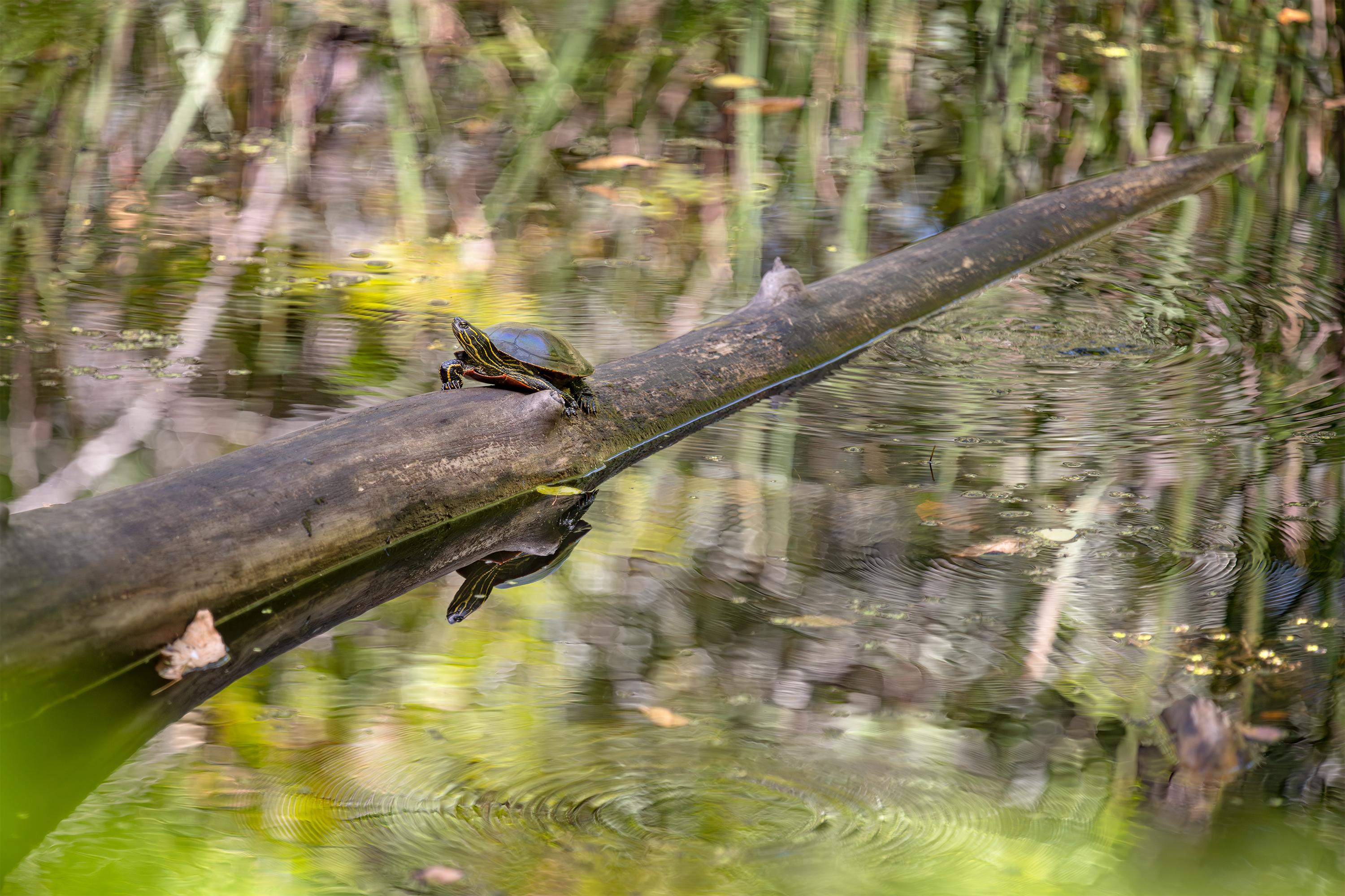
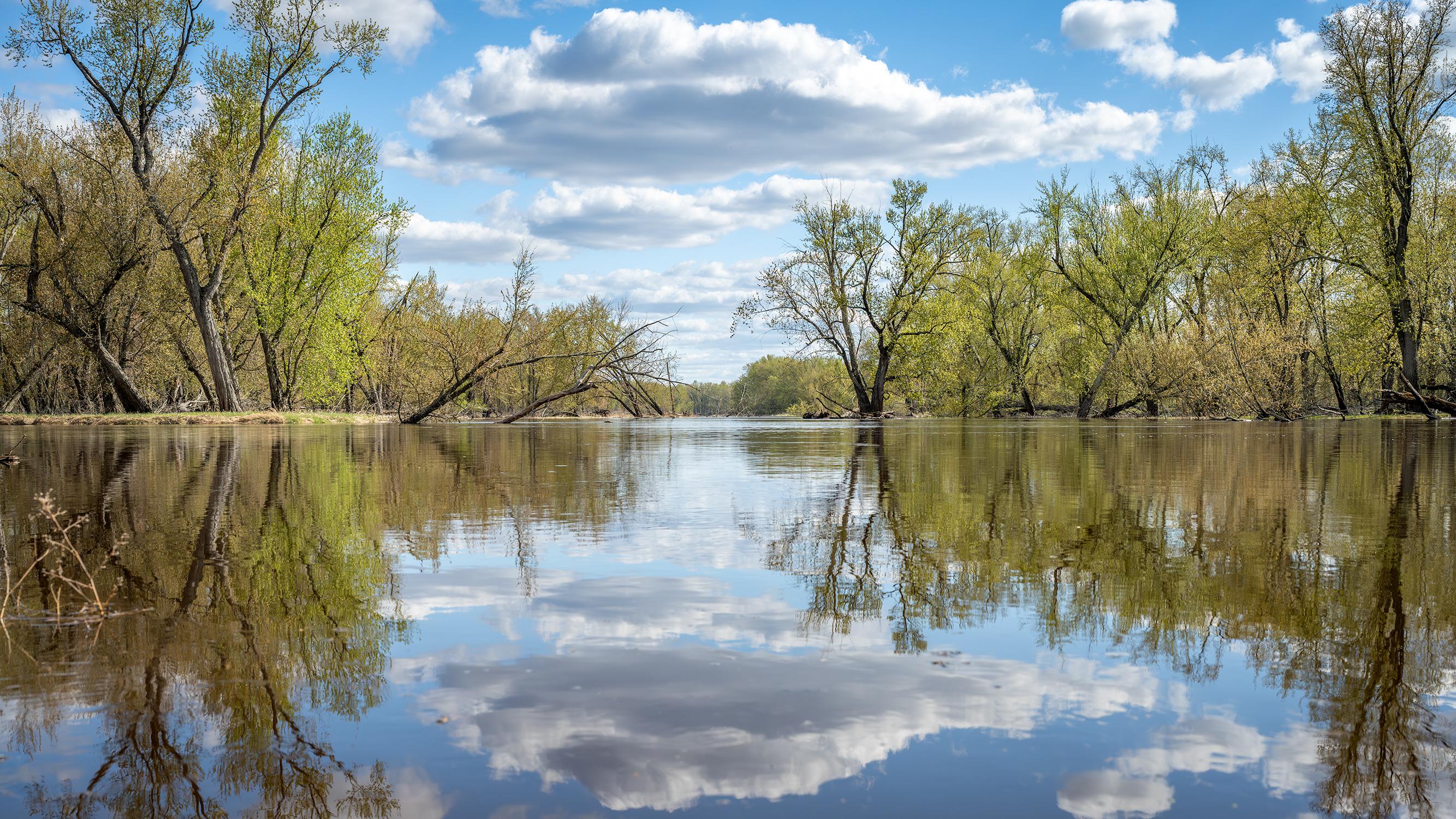
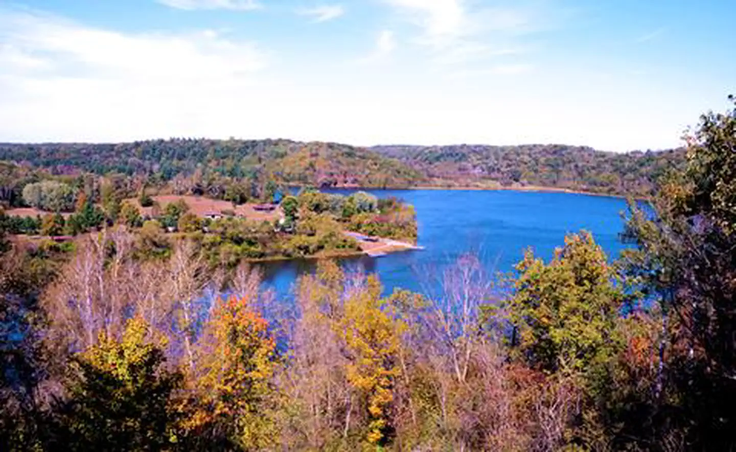
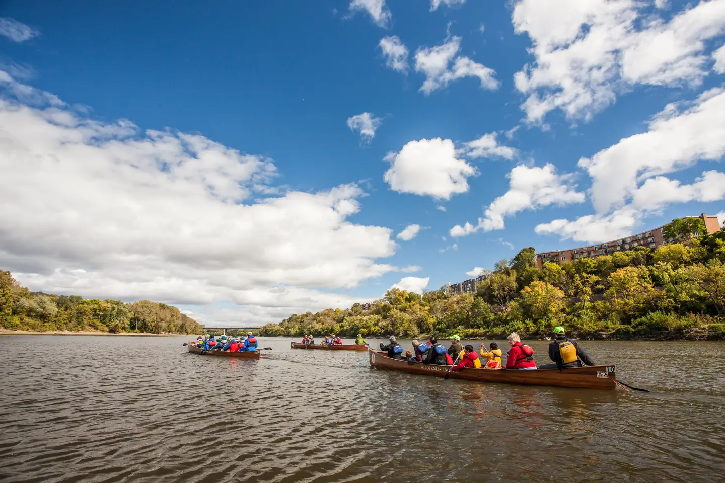
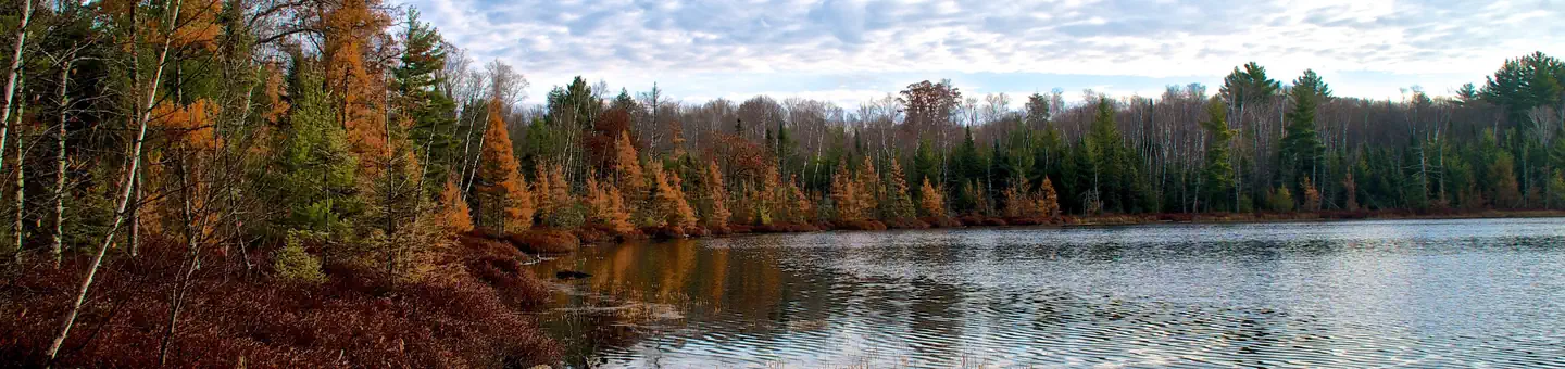
The Saint Croix National Scenic Riverway is a federally protected system of riverways located in eastern Minnesota and northwestern Wisconsin. It protects 252 miles (406 km) of river, including the St. Croix River, and the Namekagon River, as well as adjacent land along the rivers. The St. Croix National Scenic Riverway is one of the original eight National Wild and Scenic Rivers, largely as a result of legislation by senators Walter Mondale of Minnesota and Gaylord Nelson of Wisconsin. The largest scenic riverway east of the Mississippi River, it lies within parts of eight counties in Wisconsin: Bayfield, Burnett, Douglas, Pierce, Polk, St. Croix, Sawyer, and Washburn; and three in Minnesota: Chisago, Pine, and Washington.
Source: Wikipedia — text licensed CC BY-SA 4.0. Verify alerts and operational details with the managing agency below.
Reviews
No reviews yet
Be the first to share your experience and help others plan their visit.
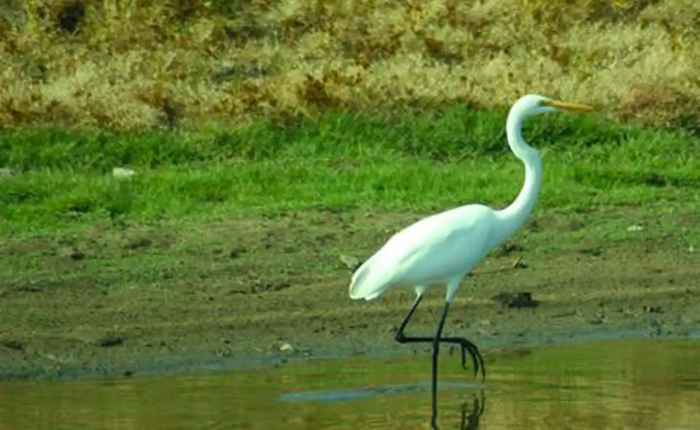
Hunting in this park
Hunting is generally prohibited in this National Park Service unit
Verify current park-specific rules with the National Park Service before planning any hunt. See NPS regulations
Within ~100 miles
Parks near Saint Croix National Scenic Riverway
Eau Galle Lake
Iowa
Parkrecreation area
Mississippi National River & Recreation Area
Iowa
Parkrecreation area
Mille Lacs National Wildlife Refuge
Minnesota
Parkwildlife refuge
Sherburne National Wildlife Refuge
Minnesota
ParkNat'l Recreation Area
Mississippi River - St. Anthony Falls Pool
Minnesota
ParkNat'l Recreation Area
Mississippi River - Pool 1
Iowa
ParkNat'l Recreation Area
Same state
More parks in Minnesota
Featured
Boundary Waters Canoe Area Wilderness
Minnesota
1,716 sq mi
ParkWilderness Area
Featured
Superior National Forest
Minnesota
6,094 sq mi
ParkNational Forest
Agassiz National Wildlife Refuge
Minnesota
ParkNat'l Recreation Area

Apostle Islands National Lakeshore
Minnesota
ParkNat'l Recreation Area

Big Stone National Wildlife Refuge
Minnesota
ParkNat'l Recreation Area
Big Stone Wetland Management District
Minnesota
Parkpreserve
Chequamegon-Nicolet NF
Minnesota
ParkNat'l Recreation Area
Chippewa National Forest
Minnesota
1,041 sq mi
ParkNational Forest
Spot an error in our data on Saint Croix National Scenic Riverway?