No photos yet
Official sources & verification
Managed by National Recreation Area
Source of truth
- Agency source page
The page our published rules and notes are derived from.
Managing agency
- National Recreation Area
Find offices, alerts, and current orders for this agency.
Verify by phone or mail
- Operator:707-468-4000
- Email:BLM_CA_Web_UK@blm.gov
- Address:CA
About
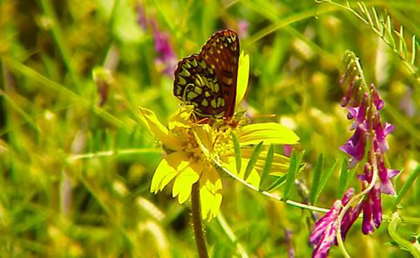
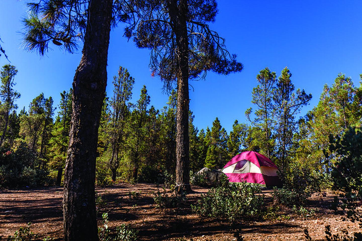
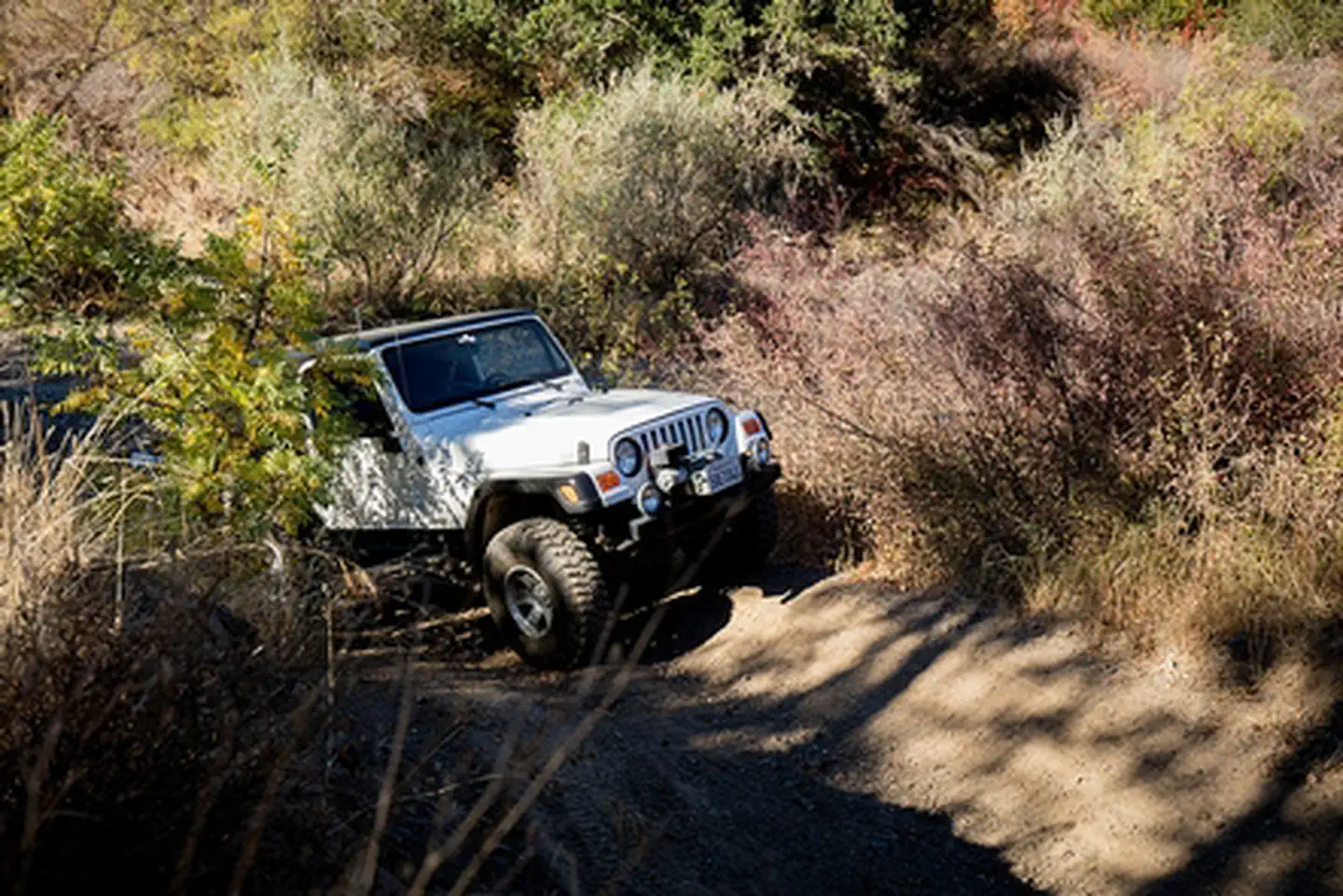
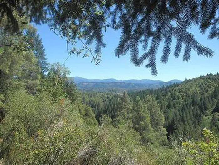
Imported descriptionThis challenging off-highway vehicle trail is about 8 miles long. Beginning near the top of Round Mountain, the first section of the trail winds around 2 wildlife watering ponds. A steep downhill section leads to a narrow ridge top, overlooking grasslands and streams leading to Hunting Creek. The trail continues to a challenging stream crossing, then back up a narrow cross-hill section to a series of clifftop switchbacks. From the switchbacks, a rider can see the site of the old Red Elephant Mine and view eagles and other raptors as they fish the creeks. The trail continues through large cypress and manzanita forests and across grass-covered meadows to Knoxville Road. The scenery and weather in the area vary dramatically with the seasons. In winter and spring, grasses and flowers are vibrant; in summer, the region is extremely hot and dry.
Source: recreation.gov
Reviews
No reviews yet
Be the first to share your experience and help others plan their visit.
Hunting in this park
Hunting is generally prohibited in this National Park Service unit
Verify current park-specific rules with the National Park Service before planning any hunt. See NPS regulations
Within ~100 miles
Parks near Red Elephant Mine Trail
recreation area
Park
Mendocino Lake
California
Nat'l Recreation Area
Park
North Cow Mountain Recreation Area
California
Nat'l Recreation Area
Park
California
recreation area
Park
South Cow Mountain OHV Management Area
California
Nat'l Recreation Area
Park
Cow Mountain Recreation Management Area
California
Nat'l Recreation Area
Park
Little Darby Nature Trail
California
Same state
More parks in California

Featured
National Park
Park
Death Valley National Park
California
5,326 sq mi
Featured
National Forest
Park
Inyo National Forest
California
2,974 sq mi

Featured
National Park
Park
Joshua Tree National Park
California
1,242 sq mi

Featured
National Park
Park
Redwood National and State Parks
California
217 sq mi

Featured
National Park
Park
Sequoia National Park
California
631 sq mi
Featured
National Forest
Park
Shasta-Trinity National Forest
California
3,438 sq mi

Featured
National Park
Park
Yosemite National Park
California
1,190 sq mi

Wilderness Area
Park
Agua Tibia Wilderness
California
Spot an error in our data on Red Elephant Mine Trail?