No photos yet
Official sources & verification
Managed by National Recreation Area
Source of truth
- Agency source page
The page our published rules and notes are derived from.
Managing agency
- National Recreation Area
Find offices, alerts, and current orders for this agency.
Verify by phone or mail
- Operator:435-636-3600
- Email:utprmail@blm.gov
- Address:UT
About
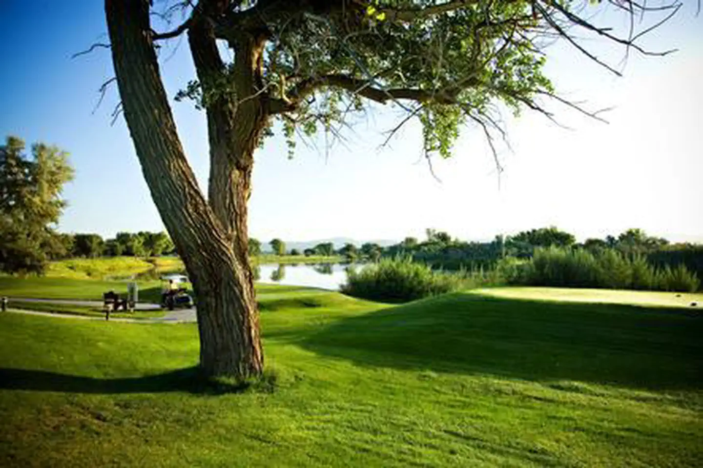
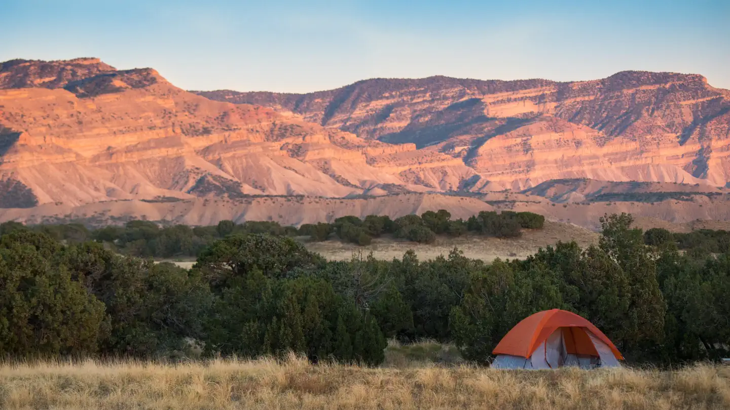
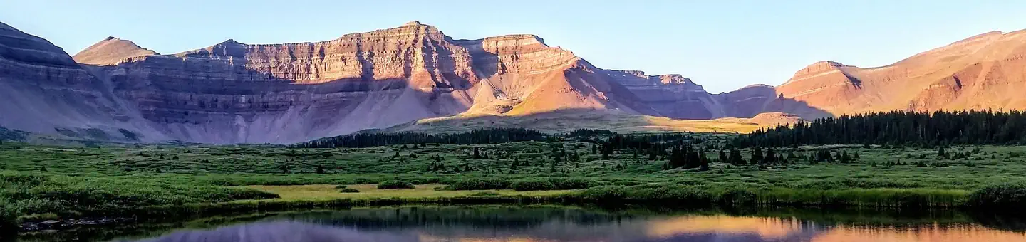
Imported descriptionTucked into the Book Cliffs in Carbon and Emery Counties west of Tavaputs Plateau lies the Range Creek Valley. Within the canyon lie numerous well preserved remains of the prehistoric Fremont Culture who lived in the area a thousand years ago. The prehistoric habitation sites and rock art are subtle and take a careful eye to notice.. Range Creek Canyon includes properties managed by the BLM, SITLA, and private lands. Permits for access must be obtained from the Utah DWR or the Natural History Museum of Utah to access the non-BLM lands. Commercial tours are also available. In addition to the archaeology also enjoy viewing wildlife, hiking, horseback riding, and photography as well as spectacular canyon views. The BLM lands within the canyon are part of a wilderness study area, which prevents mechanized travel and lands managed by other agencies also prohibit vehicular travel.
Source: recreation.gov
From Wikipedia
Range Creek, rising in the Book Cliffs in Emery County, Utah, is a high tributary of the Green River, a major tributary of the Colorado River. The creek flows year around.
Source: Wikipedia — text licensed CC BY-SA 4.0. Verify alerts and operational details with the managing agency below.
Reviews
No reviews yet
Be the first to share your experience and help others plan their visit.
Hunting in this park
Hunting is generally prohibited in this National Park Service unit
Verify current park-specific rules with the National Park Service before planning any hunt. See NPS regulations
Within ~100 miles
Parks near Range Creek
Same state
More parks in Utah

Featured
National Park
Park
Arches National Park
Utah
120 sq mi

Featured
National Park
Park
Bryce Canyon National Park
Utah
56 sq mi

Featured
National Park
Park
Zion National Park
Utah
230 sq mi
Nat'l Recreation Area
Park
18 Road - North Fruita Desert
Utah

Nat'l Recreation Area
Park
Anasazi State Park Museum
Utah
Nat'l Recreation Area
Park
Antelope Island State Park
Utah
recreation area
Park
Armijo Route
Utah
Nat'l Recreation Area
Park
Ashley National Forest
Utah
Spot an error in our data on Range Creek?