1 / 2
Official sources & verification
Managed by Preserve
Source of truth
- Agency source page
The page our published rules and notes are derived from.
Verify by phone or mail
- Operator:308-263-3000
- Email:rainwater@fws.gov
- Address:NE
About
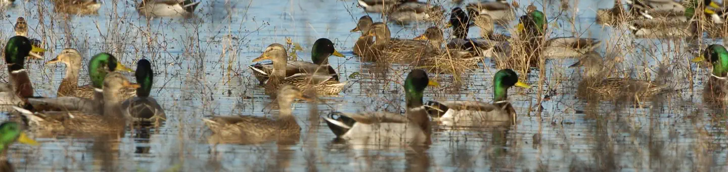
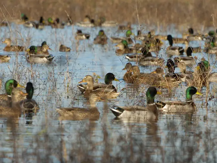
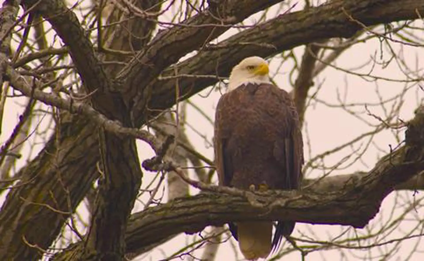
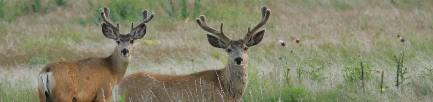
The Rainwater Basin wetland region is a 4,200 sq mi (11,000 km2) loess plain located south of the Platte River in south-central Nebraska. It lies principally in Adams, Butler, Clay, Fillmore, Hamilton, Kearney, Phelps, Polk, Saline, Seward, and York counties and extends into adjacent areas of southeastern Hall, northern Franklin, northern Nuckolls, western Saline, northern Thayer and northwestern Webster counties. Before European settlement, this plain was covered by prairie grasslands interspersed with thousands of ephemeral playa wetlands, called Rainwater Basins. Informally and locally, individual Nebraska Rainwater Basins are referred to as rainbasins, basins, lagoons, lakes, ponds, marshes, hay marshes, and lakes marshes. To the west, a tallgrass prairie in the east once gradually transitioned into mixed grass prairie. Currently, the Rainwater Basin wetland region is covered by farms, mainly growing corn and soybeans. Several, interspersed, stream courses, of which largest is the Big Blue River and its tributaries, drain this region. Riparian woodlands and upland slopes possessing oak woodlands are associated with these streams. In the spring and fall months, millions of migratory birds pass through the region to feed and rest. Along with riparian habitats associated Platte River, Big Blue River, its tributaries, and smaller streams, Rainwater Basins are a major component of the Central Flyway of North America.
Source: Wikipedia — text licensed CC BY-SA 4.0. Verify alerts and operational details with the managing agency below.
Reviews
No reviews yet
Be the first to share your experience and help others plan their visit.
Within ~100 miles
Parks near Rainwater Basin Wetland Management District
Harlan County Lake
Kansas
ParkNat'l Recreation Area
Harry Strunk Lake (Medicine Creek State Park Recreation Area)
Nebraska
ParkState Park
Sherman Reservoir
Nebraska
Parkrecreation area
Kirwin National Wildlife Refuge
Kansas
ParkNat'l Recreation Area
Kirwin Reservoir
Kansas
ParkNat'l Recreation Area
Keith Sebelius Reservoir (Prairie Dog State Park)
Nebraska
ParkState Park
Same state
More parks in Nebraska
Agate Fossil Beds National Monument
Nebraska
ParkNational Monument
Almena Diversion Dam
Nebraska
ParkNat'l Recreation Area
Arcadia Diversion Dam
Nebraska
ParkNat'l Recreation Area
Box Butte Reservoir
Nebraska
ParkNat'l Recreation Area
Branched Oak Lake
Nebraska
ParkNat'l Recreation Area
Calamus Reservoir (Virginia Smith Dam)
Nebraska
ParkNat'l Recreation Area
Crescent Lake National Wildlife Refuge
Nebraska
Parkwildlife refuge
Davis Creek Reservoir
Nebraska
Parkrecreation area
Spot an error in our data on Rainwater Basin Wetland Management District?