+2
1 / 8
+3
Nat'l Recreation Area
Official sources & verification
Managed by National Park Service
Source of truth
- Agency source page
The page our published rules and notes are derived from.
Managing agency
- National Park Service
Find offices, alerts, and current orders for this agency.
Verify by phone or mail
- Operator:(906) 387-3700
- Email:piro_information@nps.gov
- Address:MI
About
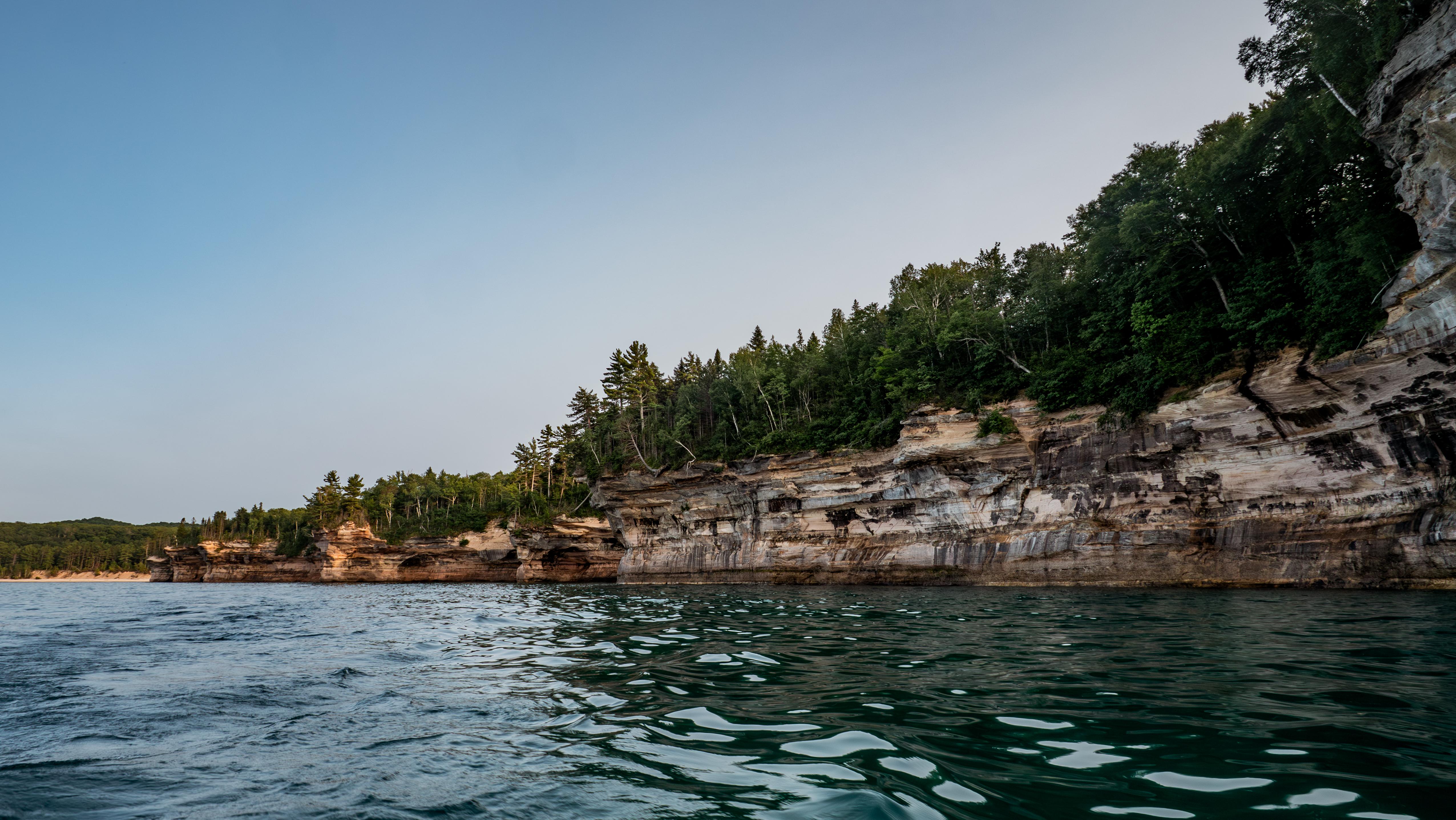
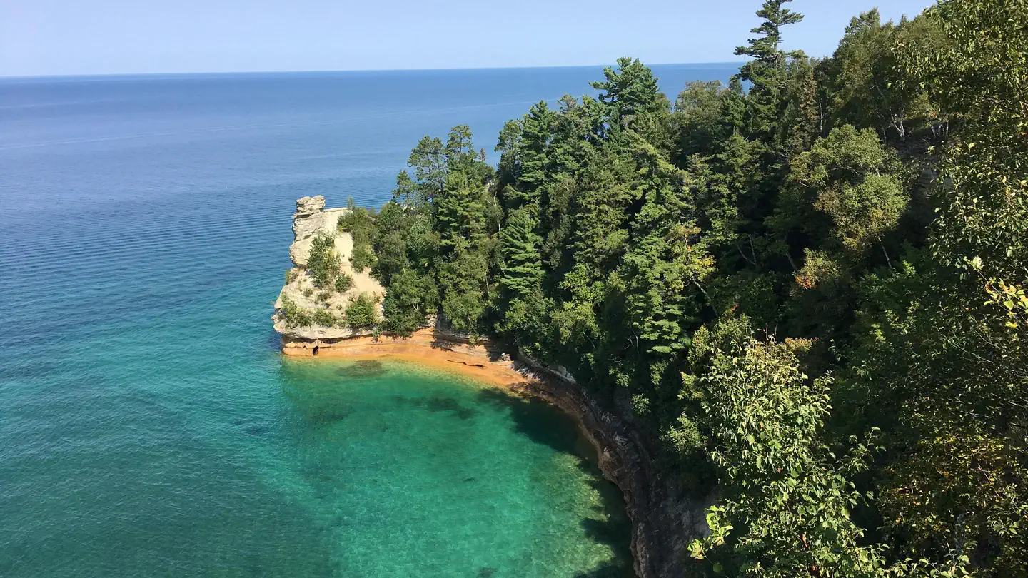
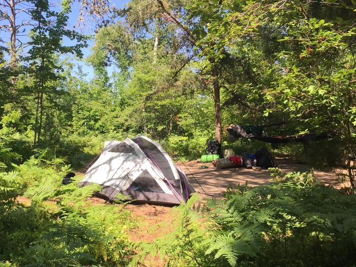
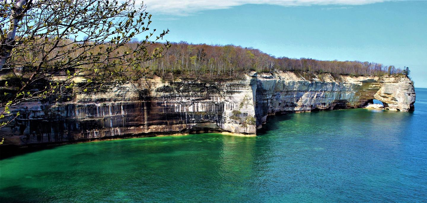
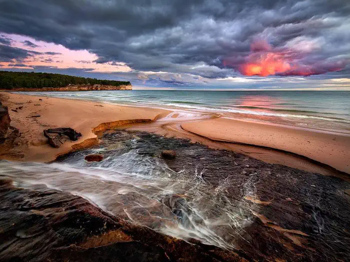
Imported descriptionSandstone cliffs, beaches, waterfalls, sand dunes, inland lakes, deep forest, and wild shoreline beckon you to visit Pictured Rocks National Lakeshore. The power of Lake Superior shapes the park's coastal features and affects every ecosystem, creating a unique landscape to explore. Hiking, camping, sightseeing, and four-season outdoor opportunities abound.
Source: recreation.gov
From Wikipedia
Pictured Rocks National Lakeshore is a U.S. National Lakeshore in the Upper Peninsula of Michigan, United States. It extends for 42 mi (68 km) along the shore of Lake Superior and covers 73,236 acres. The park has extensive views of the hilly shoreline between Munising and Grand Marais in Alger County, with picturesque rock formations, waterfalls, and sand dunes.
Source: Wikipedia — text licensed CC BY-SA 4.0. Verify alerts and operational details with the managing agency below.
Reviews
No reviews yet
Be the first to share your experience and help others plan their visit.
Hunting in this park
Hunting is generally prohibited in this National Park Service unit
Verify current park-specific rules with the National Park Service before planning any hunt. See NPS regulations
Within ~100 miles
Parks near Pictured Rocks National Lakeshore
recreation area
Park
Kirtlands Warbler Wildlife Management Area
Michigan
Nat'l Recreation Area
Park
Seney National Wildlife Refuge
Michigan
wildlife refuge
Park
Michigan Islands National Wildlife Refuge
Michigan
National Forest
Park
Hiawatha National Forest
Michigan
1,398 sq mi

wildlife refuge
Park
Huron National Wildlife Refuge
Wisconsin
Nat'l Recreation Area
Park
Green Bay National Wildlife Refuge
Michigan
Same state
More parks in Michigan
Nat'l Recreation Area
Park
Gravel Island National Wildlife Refuge
Michigan
Nat'l Recreation Area
Park
Harbor Island National Wildlife Refuge
Michigan
National Forest
Park
Huron-Manistee National Forests
Michigan
1,530 sq mi

National Park
Park
Isle Royale National Park
Michigan
893 sq mi
National Historical Park
Park
Keweenaw National Historical Park
Michigan
Nat'l Recreation Area
Park
Michigan Wetland Management District
Michigan
National Scenic Trail
Park
North Country National Scenic Trail
Michigan
National Forest
Park
Ottawa National Forest
Michigan
1,552 sq mi
Spot an error in our data on Pictured Rocks National Lakeshore?