Nat'l Recreation Area
Official sources & verification
Managed by National Recreation Area
Source of truth
- Agency source page
The page our published rules and notes are derived from.
Managing agency
- National Recreation Area
Find offices, alerts, and current orders for this agency.
Verify by phone or mail
- Operator:541-618-2200
- Email:BLM_OR_MD_Mail@blm.gov
- Address:OR
About
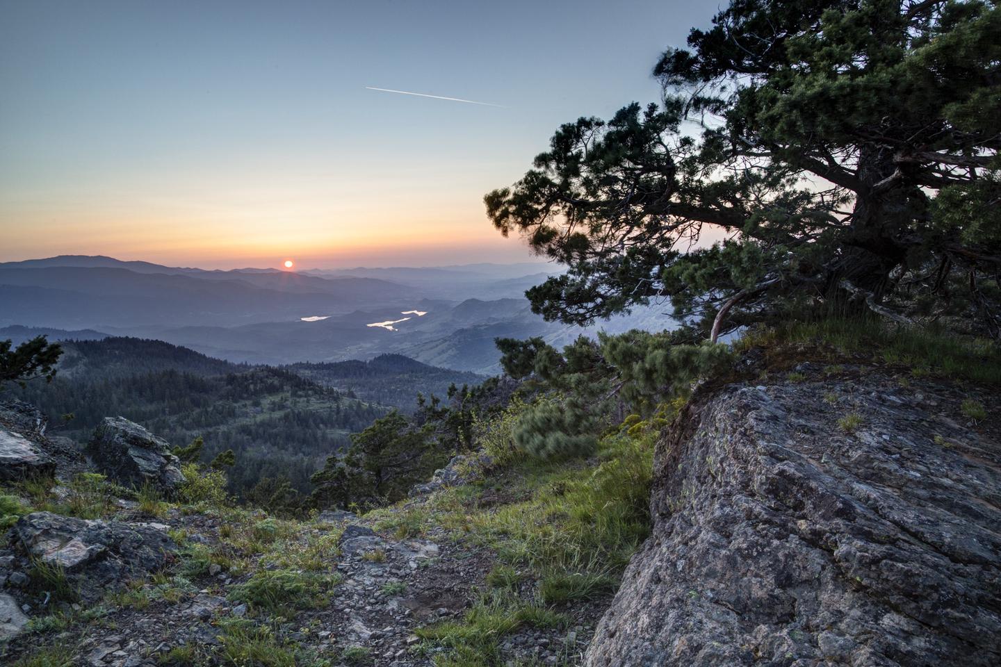
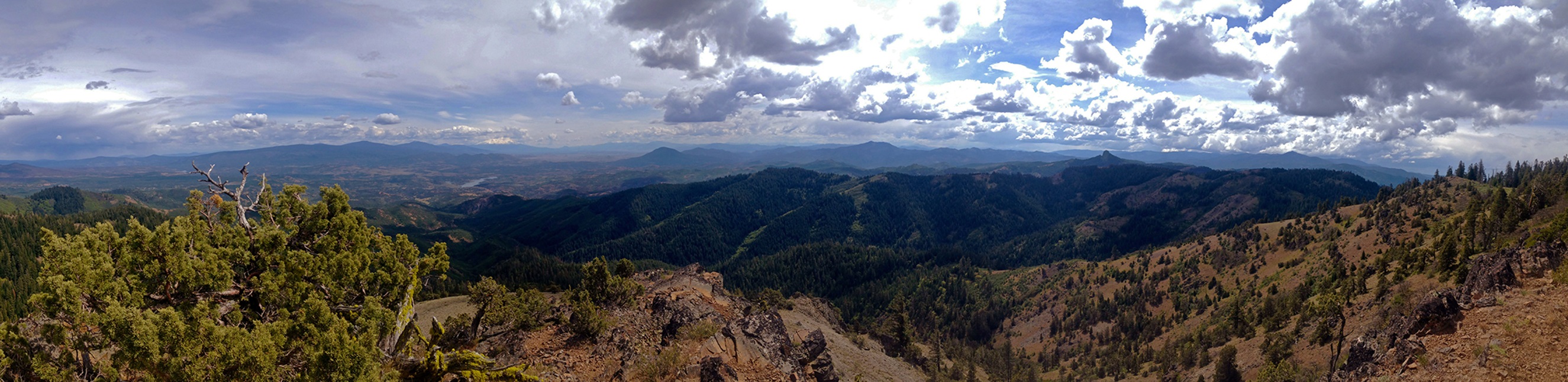
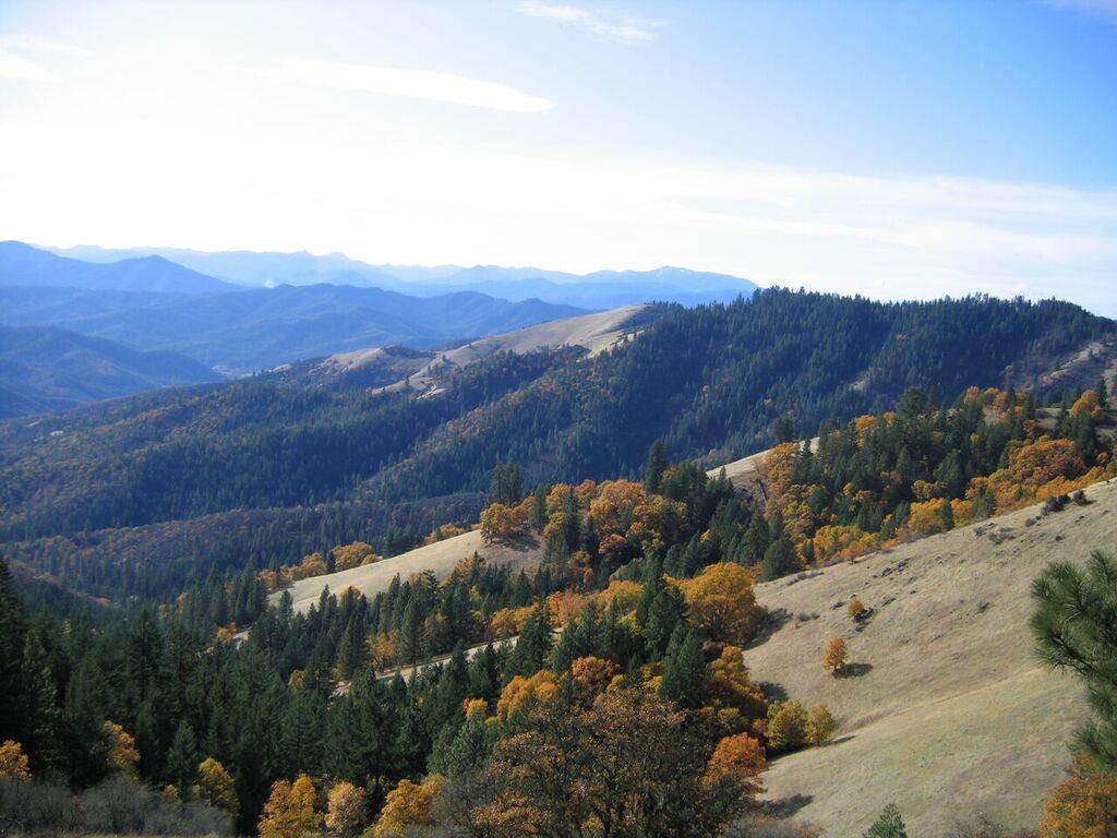
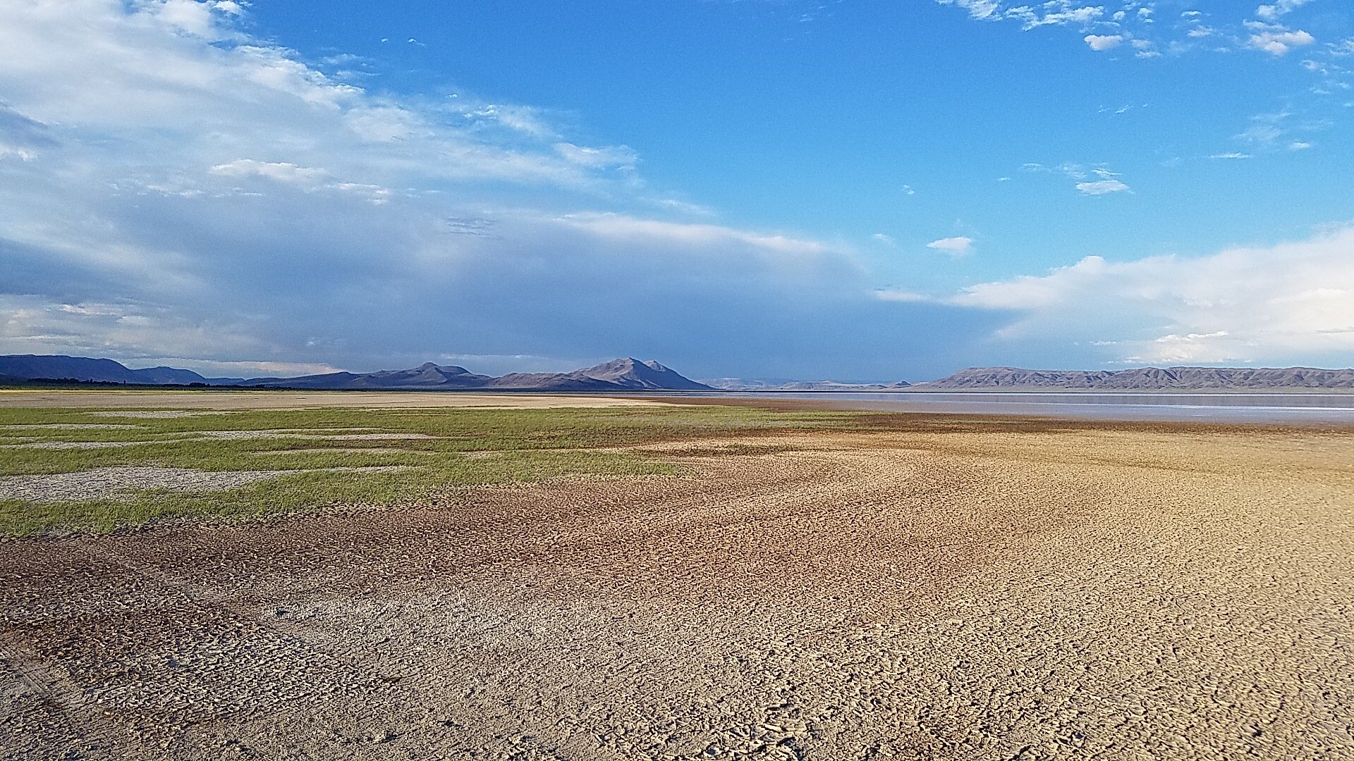
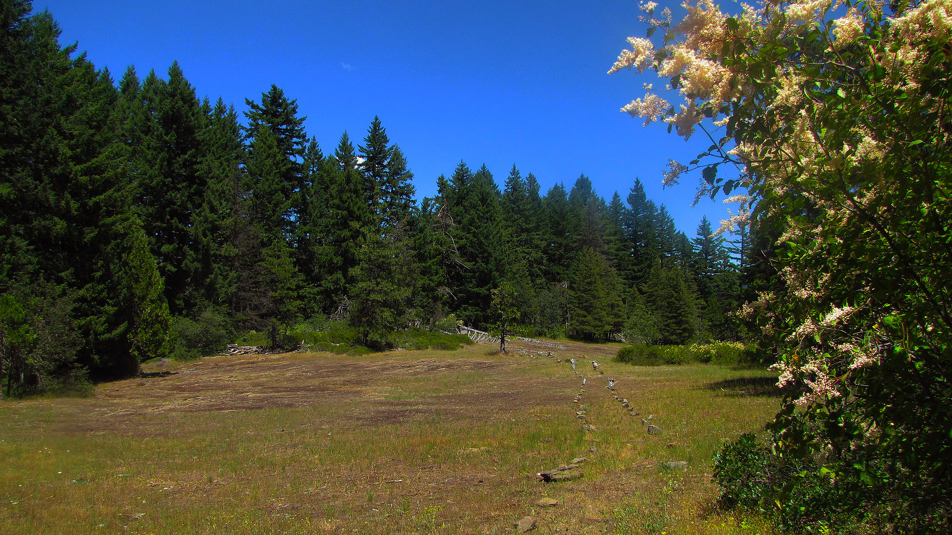
Imported descriptionTake a hike on a legend! The 2,650-mile Pacific Crest National Scenic Trail, stretching from Mexico to Canada, passes through this 43-mile segment in the Cascade Mountains. Explore this area’s unique and diverse ecosystems as the trail meanders through wildflower-strewn meadows, old growth forests, and juniper-covered hillsides. Opportunities abound to take in scenic views of Mount Shasta, Pilot Rock, Cascade-Siskiyou National Monument, Hyatt Lake, Howard Prairie Lake, and Mount McLoughlin. The trail provides access to Pilot Rock, Hobart Bluff, Soda Mountain Wilderness, and Hyatt Lake Recreation Area. Terrain ranges from easy to moderately challenging, depending on the direction of travel.Know Before You GoOpen year-round; snow may make the trail impassable for hikers.The Pacific Crest Trail is open to hiking and stock use only.Scattered parcels of private land are interspersed with BLM lands and at times the trail passes through private lands with permission of the land owners. Please stay on the trail when passing through private land.Point of InterestThe Pacific Crest Trail is maintained with help from the Pacific Crest Trail Association and community volunteers.
Source: recreation.gov
From Wikipedia
The Pacific Crest Trail (PCT), officially designated as the Pacific Crest National Scenic Trail, is a long-distance hiking and equestrian trail closely aligned with the highest portion of the Cascade and Sierra Nevada mountain ranges, which lie 100 to 150 miles east of the U.S. Pacific coast. The trail's southern terminus is next to the Mexico–United States border, just south of Campo, California, and its northern terminus is on the Canada–US border, upon which it continues unofficially to the Windy Joe Trail within Manning Park in British Columbia; it passes through the states of California, Oregon, and Washington.
Source: Wikipedia — text licensed CC BY-SA 4.0. Verify alerts and operational details with the managing agency below.
Reviews
No reviews yet
Be the first to share your experience and help others plan their visit.
Hunting in this park
Hunting is generally prohibited in this National Park Service unit
Verify current park-specific rules with the National Park Service before planning any hunt. See NPS regulations
Within ~100 miles
Parks near Pacific Crest Trail
Nat'l Recreation Area
Park
Hyatt Reservoir
Oregon
National Monument
Park
Cascade-Siskiyou National Monument
Oregon
177 sq mi
Nat'l Recreation Area
Park
Emigrant Lake
Oregon
Nat'l Recreation Area
Park
Soda Mountain Wilderness
Oregon
Nat'l Recreation Area
Park
Buck Prairie Nordic Trail System
Oregon
Nat'l Recreation Area
Park
Jack-Ash Trail
Oregon
Same state
More parks in Oregon

Featured
National Park
Park
Crater Lake National Park
Oregon
286 sq mi
Featured
National Forest
Park
Mt. Hood National Forest
Oregon
1,667 sq mi
Nat'l Recreation Area
Park
Agate Reservoir
Oregon
recreation area
Park
Agency Lake Ranch
Oregon
Nat'l Recreation Area
Park
Alvord Desert
Oregon

wildlife refuge
Park
Ankeny National Wildlife Refuge
Oregon
Nat'l Recreation Area
Park
Baker Cypress Trail
Oregon

Nat'l Recreation Area
Park
Bandon Marsh National Wildlife Refuge
Oregon
Spot an error in our data on Pacific Crest Trail?