Nat'l Recreation Area
Official sources & verification
Managed by National Recreation Area
Source of truth
- Agency source page
The page our published rules and notes are derived from.
Managing agency
- National Recreation Area
Find offices, alerts, and current orders for this agency.
Verify by phone or mail
- Operator:(307) 578-5900
- Email:Cody_WYMail@blm.gov
- Address:WY
About
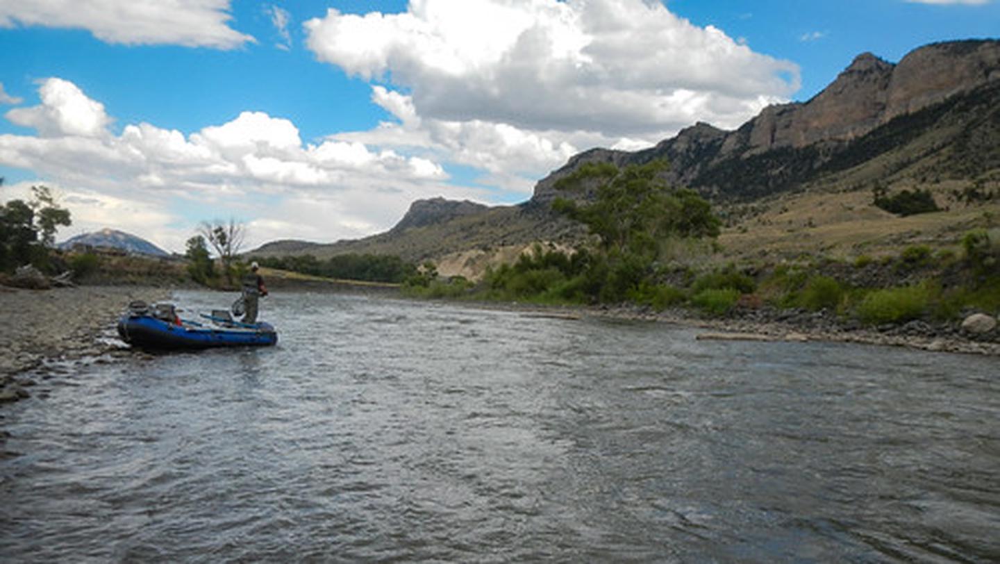
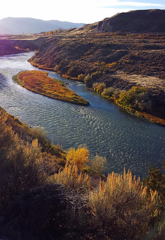
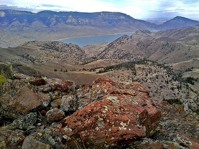
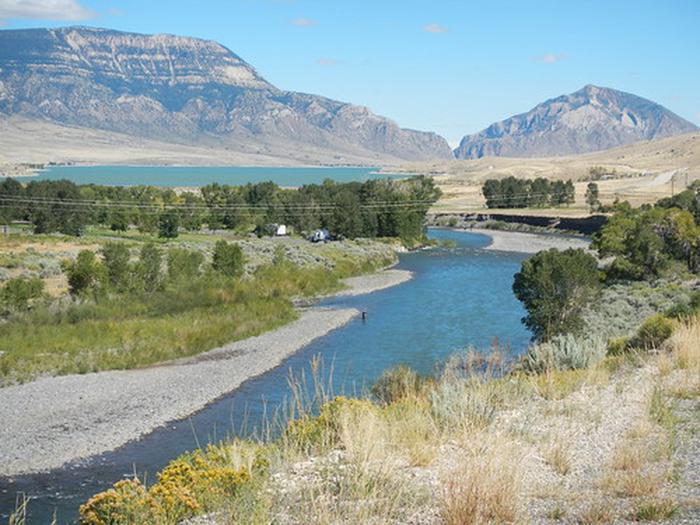
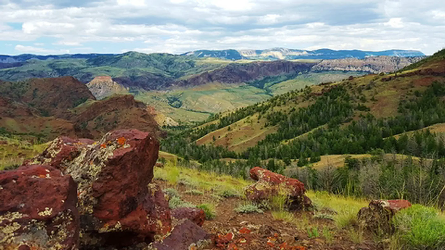
Imported descriptionThe North Fork Shoshone River begins its journey on the slopes of Stinkingwater Peak high in the Absaroka Mountains managed by the Shoshone National Forest and drains down the North Fork into Buffalo Bill Reservoir. The North Fork Highway, the road to Yellowstone's East Gate, follows the North Fork from Buffalo Bill Dam Visitor Center all the way to Pahaska. The BLM manages parcels of public accessible lands along the North Fork, which offers opportunities for fishing, boating, sightseeing, and hiking.
Source: recreation.gov
Reviews
No reviews yet
Be the first to share your experience and help others plan their visit.
Hunting in this park
Hunting is generally prohibited in this National Park Service unit
Verify current park-specific rules with the National Park Service before planning any hunt. See NPS regulations
Within ~100 miles
Parks near N.F. Shoshone

Same state
More parks in Wyoming
Featured
National Forest
Park
Bridger-Teton National Forest
Wyoming
5,313 sq mi

Featured
National Park
Park
Grand Teton National Park
Wyoming
484 sq mi

Featured
National Park
Park
Yellowstone National Park
Wyoming
3,468 sq mi
Nat'l Recreation Area
Park
Agate Fossil Beds National Monument
Wyoming
recreation area
Park
Alcova Reservoir
Wyoming
Nat'l Recreation Area
Park
Alkali Creek WSA
Wyoming
Nat'l Recreation Area
Park
Angostura Reservoir
Wyoming

Nat'l Recreation Area
Park
Atlantic City/South Pass
Wyoming
Spot an error in our data on N.F. Shoshone?