1 / 5
Nat'l Recreation Area
Official sources & verification
Managed by National Recreation Area
Source of truth
- Agency source page
The page our published rules and notes are derived from.
Managing agency
- National Recreation Area
Find offices, alerts, and current orders for this agency.
Verify by phone or mail
- Operator:(605) 665-0209
- Email:mnrr_visitorinfo@nps.gov
- Address:SD
About
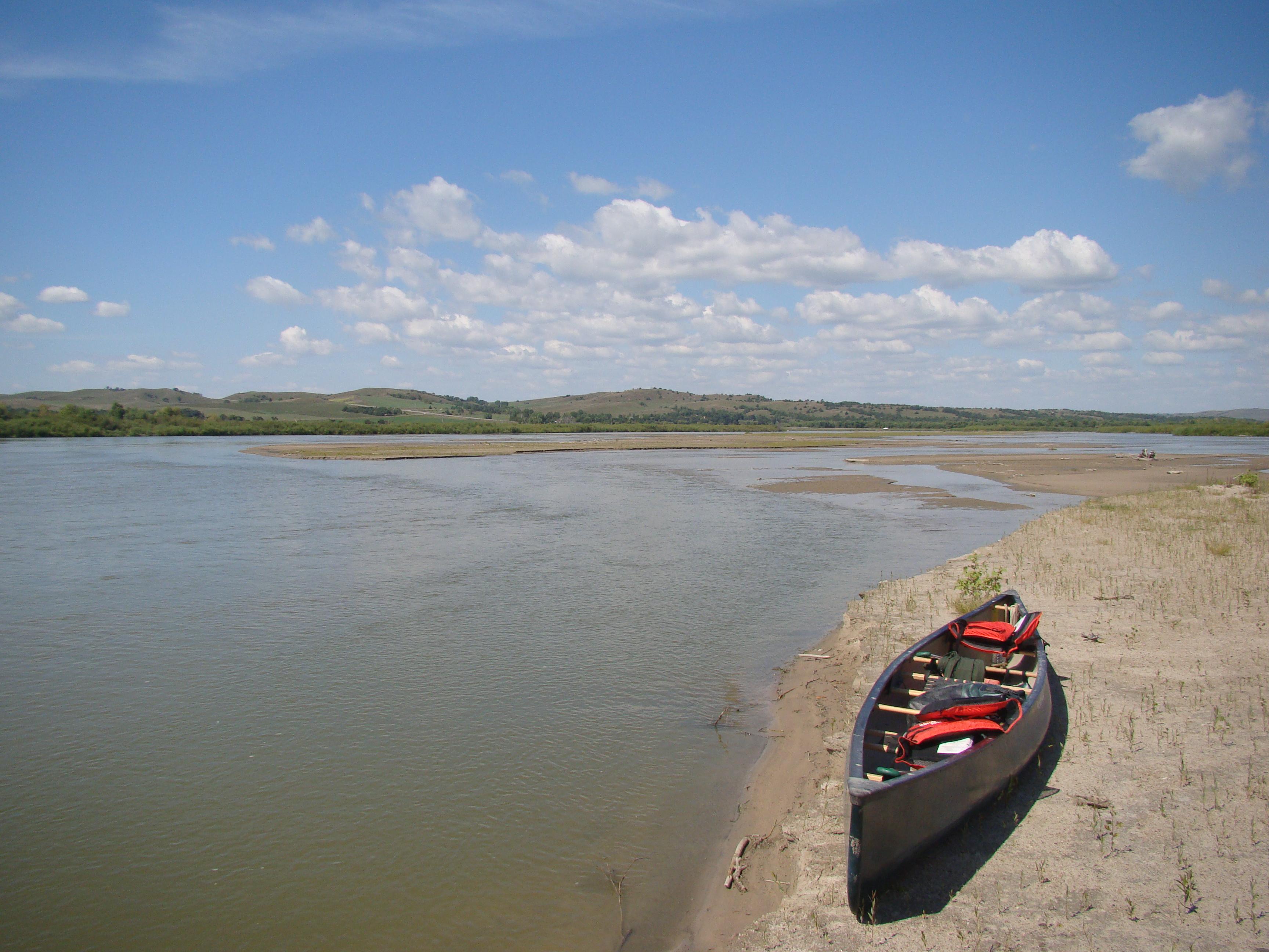
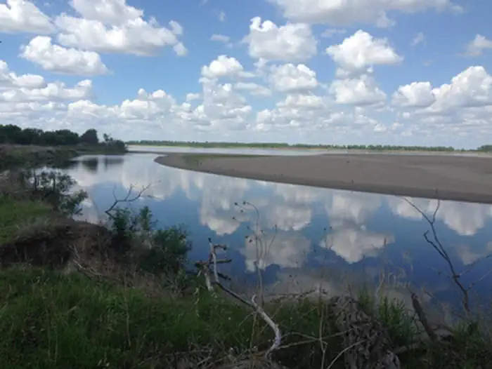
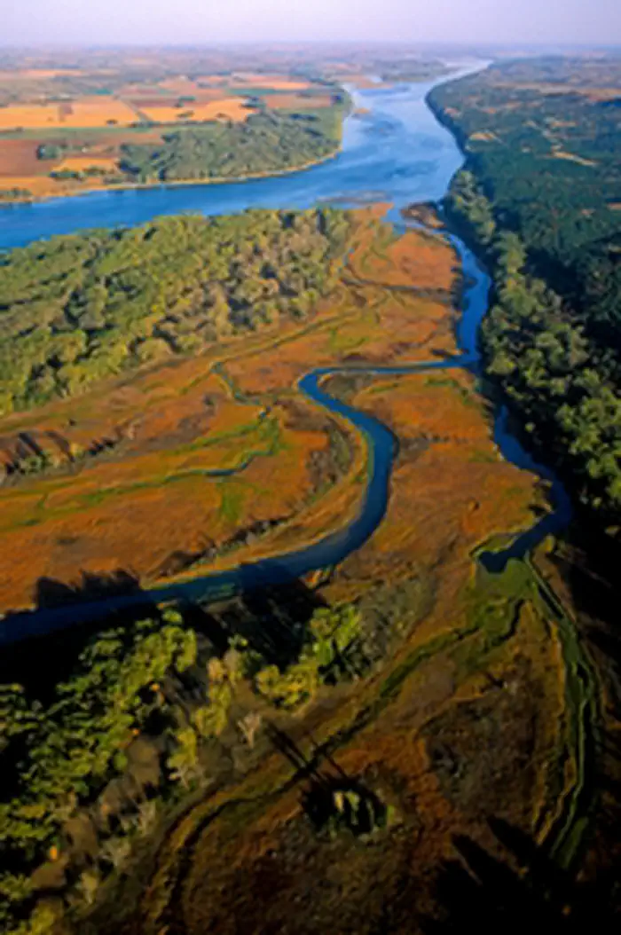
Imported descriptionImagine a 100-mile stretch of North America's longest river, a vestige of the untamed American West. The Missouri National Recreational River is where imagination meets reality. Two free flowing stretches of the Missouri make up the National Park. Relive the past by exploring the wild, untamed and mighty river that continues to flow as nature intended.
Source: recreation.gov
From Wikipedia
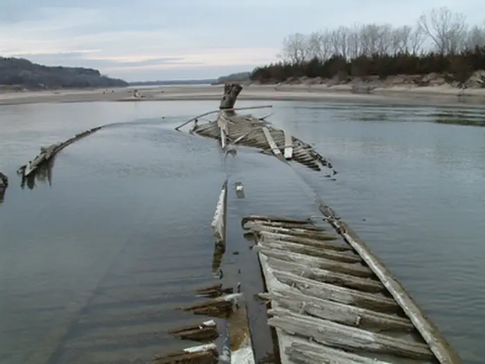
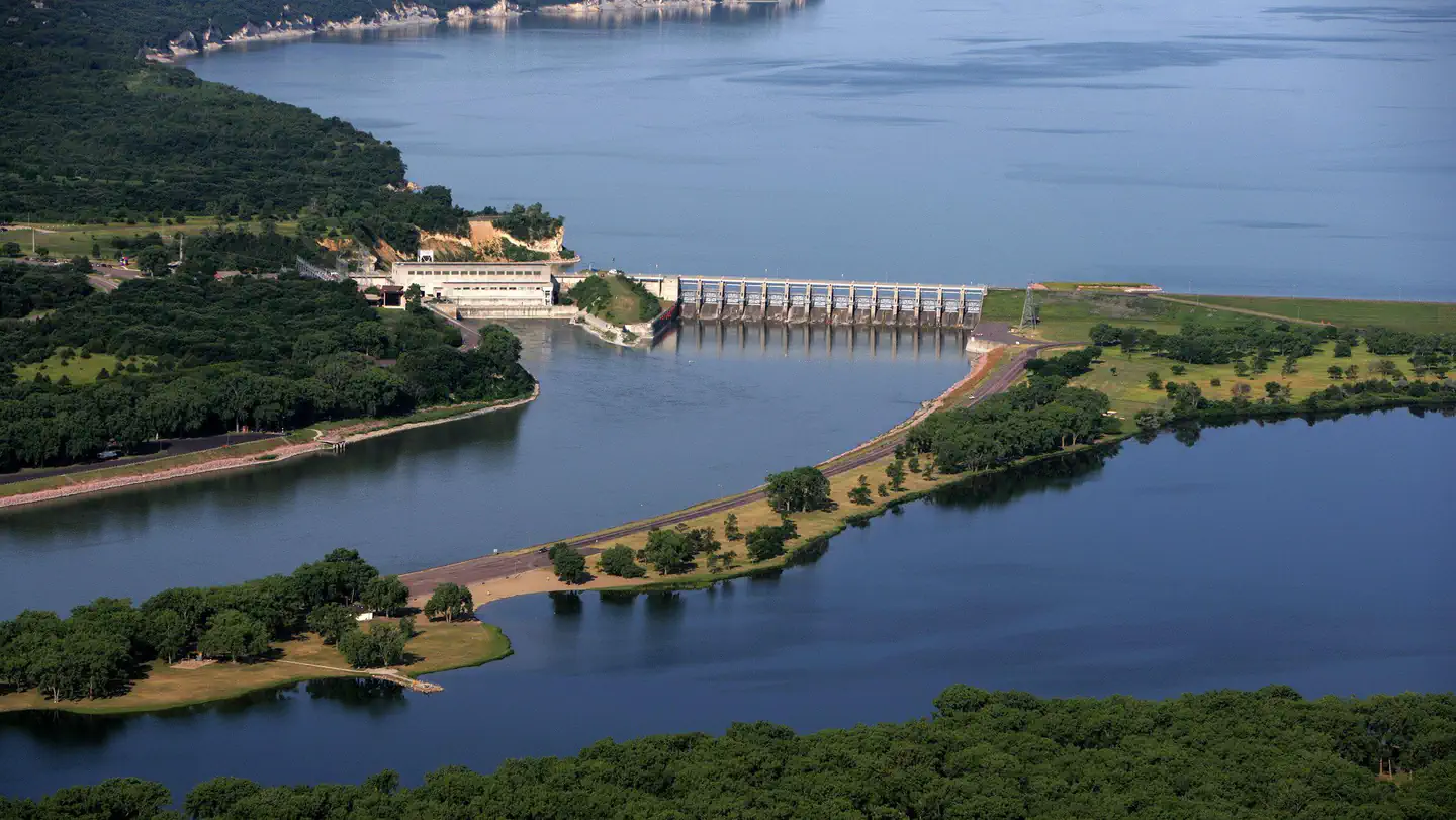
The Missouri National Recreational River is a National Recreational River located on the border between Nebraska and South Dakota. The designation was first applied in 1978 to a 59-mile section of the Missouri River between Gavins Point Dam and Ponca State Park. In 1991, an additional 39-mile section between Fort Randall Dam and Niobrara, Nebraska, was added to the designation. These two stretches of the Missouri River are the only parts of the river between Montana and the mouth of the Missouri that remain undammed or unchannelized. The last 20 miles of the Niobrara River and 6 miles of Verdigre Creek were also added in 1991.
Source: Wikipedia — text licensed CC BY-SA 4.0. Verify alerts and operational details with the managing agency below.
Reviews
No reviews yet
Be the first to share your experience and help others plan their visit.
Hunting in this park
Hunting is generally prohibited in this National Park Service unit
Verify current park-specific rules with the National Park Service before planning any hunt. See NPS regulations
Within ~100 miles
Parks near Missouri National Recreational River
recreation area
Park
Lewis and Clark Lake
South Dakota
Nat'l Recreation Area
Park
Lake Andes National Wildlife Refuge
South Dakota
wildlife refuge
Park
Karl E. Mundt National Wildlife Refuge
South Dakota

recreation area
Park
Lake Francis Case
South Dakota
Nat'l Recreation Area
Park
Madison Wetland Management District
South Dakota
Same state
More parks in South Dakota
Featured
National Forest
Park
Black Hills National Forest
South Dakota
1,953 sq mi
Featured
State Park
Park
Custer State Park
South Dakota
111 sq mi

Nat'l Recreation Area
Park
Badlands National Park
South Dakota
recreation area
Park
Belle Fourche Reservoir - Rocky Point Recreation Area
South Dakota

recreation area
Park
Cold Brook Lake
South Dakota
Nat'l Recreation Area
Park
Deerfield Reservoir
South Dakota
Nat'l Recreation Area
Park
Fort Meade Recreation Area
South Dakota
wildlife refuge
Park
Fort Niobrara National Wildlife Refuge
South Dakota
Spot an error in our data on Missouri National Recreational River?