No photos yet
Official sources & verification
Managed by National Recreation Area
Source of truth
- Agency source page
The page our published rules and notes are derived from.
Managing agency
- National Recreation Area
Find offices, alerts, and current orders for this agency.
Verify by phone or mail
- Operator:907-822-3217
- Email:blm_ak_gfo_general_delivery@blm.gov
- Address:AK
About
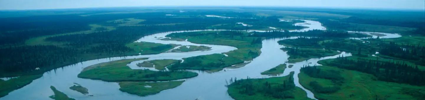
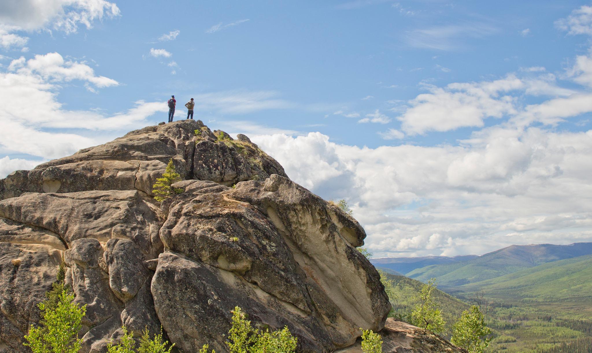
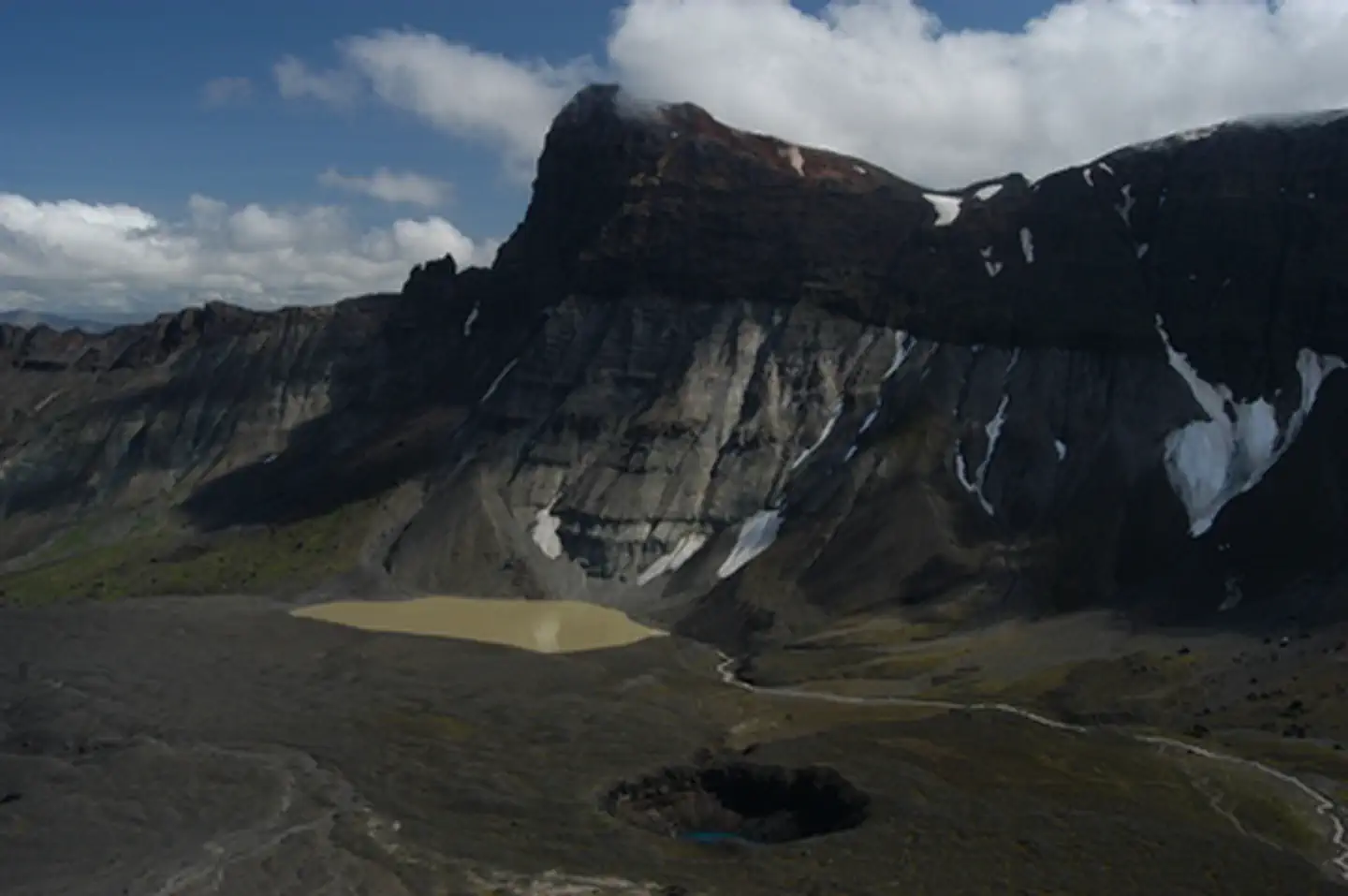
Imported descriptionLocated at mile 169.5 on the west side of the Richardson Highway, this is one of the most highly used trails in the field office. The trail begins in a state highway gravel pit and continues westward approximately 8 miles towards the Gulkana Wild and Scenic River (WSR). Not only does this trail provide access to the Gulkana WSR, it also provides outstanding views of Paxson Lake and the surrounding hills. Primary use is motorized; however more people are beginning to hike along the trail as its condition has improved. Please respect all users of the trail.Motorized travel within the Gulkana WSR corridor is limited to designated trails. Designated trails are marked on the ground with green dot carsonite markers. Undesignated trails are marked with red dot carsonite markers and are not open for motorized travel. This trail is within the State of Alaska Sourdough Controlled Use Area, so motorized hunting restrictions apply.
Source: recreation.gov
Reviews
No reviews yet
Be the first to share your experience and help others plan their visit.
Hunting in this park
Hunting is generally prohibited in this National Park Service unit
Verify current park-specific rules with the National Park Service before planning any hunt. See NPS regulations
Within ~100 miles
Parks near Middle Fork Trail
Same state
More parks in Alaska

Featured
National Park
Park
Denali National Park and Preserve
Alaska
7,408 sq mi
Featured
National Forest
Park
Tongass National Forest
Alaska
26,094 sq mi
Nat'l Recreation Area
Park
Alagnak Wild River
Alaska
Nat'l Recreation Area
Park
Alaska Maritime National Wildlife Refuge
Alaska
Nat'l Recreation Area
Park
Alaska Peninsula National Wildlife Refuge
Alaska
Nat'l Recreation Area
Park
Alaska Public Lands
Alaska
Nat'l Recreation Area
Park
Aleutian Islands World War II National Historic Area
Alaska
Nat'l Recreation Area
Park
Aniakchak National Monument & Preserve
Alaska
Spot an error in our data on Middle Fork Trail?