No photos yet
Official sources & verification
Managed by National Recreation Area
Source of truth
- Agency source page
The page our published rules and notes are derived from.
Managing agency
- National Recreation Area
Find offices, alerts, and current orders for this agency.
Verify by phone or mail
- Operator:907-474-2200
- Email:EasternInterior@blm.gov
- Address:AK
About
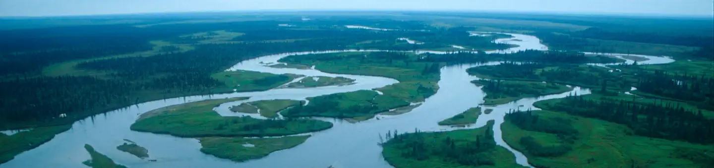
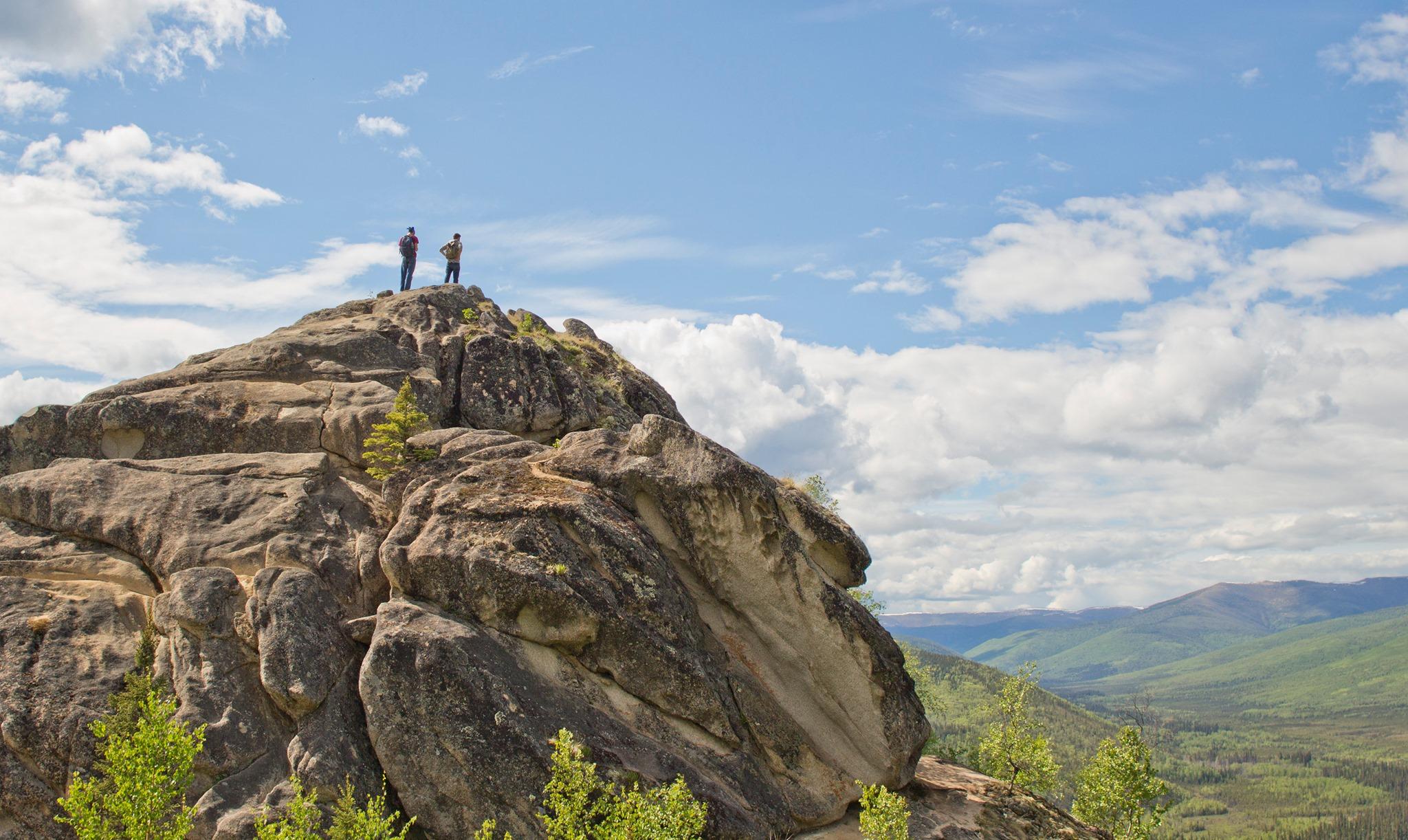
Imported descriptionFrom a junction with McKay Creek Trail, this trail descends gradually from a ridge top through forest and meadows into the Nome Creek drainage. It crosses the creek before ending at Nome Creek Road and the Bear Creek Trail.
Source: recreation.gov
From Wikipedia
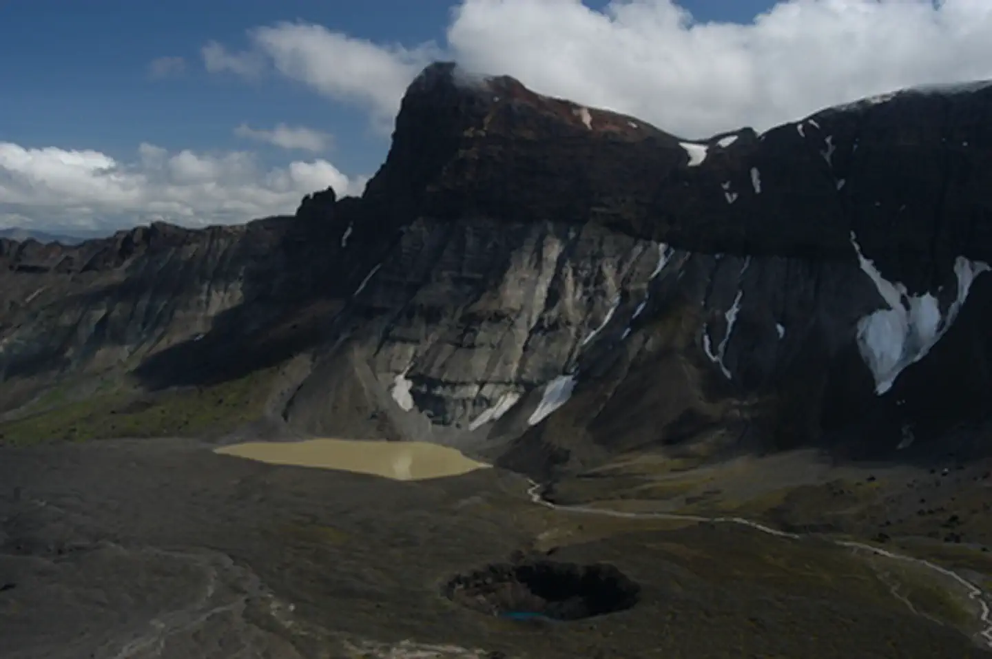
McKay Creek is a meltwater stream, 250 metres (270 yd) long, heading on Suess Glacier west-southwest of the west end of Lake Chad at about 100 metres (330 ft) elevation and flowing east-northeast into Lake Chad in Taylor Valley, Victoria Land, Antarctica. It was named by the Advisory Committee on Antarctic Names in 1996 after Christopher P. McKay, a NASA planetary scientist, who conducted limnological research on Lake Hoare from 1982 and pioneered the use of year-round environmental data collection in dry valley ecosystems.
Source: Wikipedia — text licensed CC BY-SA 4.0. Verify alerts and operational details with the managing agency below.
Reviews
No reviews yet
Be the first to share your experience and help others plan their visit.
Hunting in this park
Hunting is generally prohibited in this National Park Service unit
Verify current park-specific rules with the National Park Service before planning any hunt. See NPS regulations
Within ~100 miles
Parks near McKay Creek
other
Park
Lower Nome Creek Trail
Alaska
recreation area
Park
Beaver Creek Wild and Scenic River
Alaska
Nat'l Recreation Area
Park
Cache Mountain Loop Trail
Alaska
Nat'l Recreation Area
Park
Windy Creek Trail
Alaska
Nat'l Recreation Area
Park
Moose Creek Trail
Alaska
Nat'l Recreation Area
Park
Fossil Creek Trail
Alaska
Same state
More parks in Alaska

Featured
National Park
Park
Denali National Park and Preserve
Alaska
7,408 sq mi
Featured
National Forest
Park
Tongass National Forest
Alaska
26,094 sq mi
Nat'l Recreation Area
Park
Alagnak Wild River
Alaska
Nat'l Recreation Area
Park
Alaska Maritime National Wildlife Refuge
Alaska
Nat'l Recreation Area
Park
Alaska Peninsula National Wildlife Refuge
Alaska
Nat'l Recreation Area
Park
Alaska Public Lands
Alaska
Nat'l Recreation Area
Park
Aleutian Islands World War II National Historic Area
Alaska
Nat'l Recreation Area
Park
Aniakchak National Monument & Preserve
Alaska
Spot an error in our data on McKay Creek?