1 / 2
Nat'l Recreation Area
Official sources & verification
Managed by U.S. Forest Service
Source of truth
- Agency source page
The page our published rules and notes are derived from.
Managing agency
- U.S. Forest Service
Find offices, alerts, and current orders for this agency.
Verify by phone or mail
- Operator:1111111111
- Email:MLWeb@fs.fed.us
- Address:UT
About
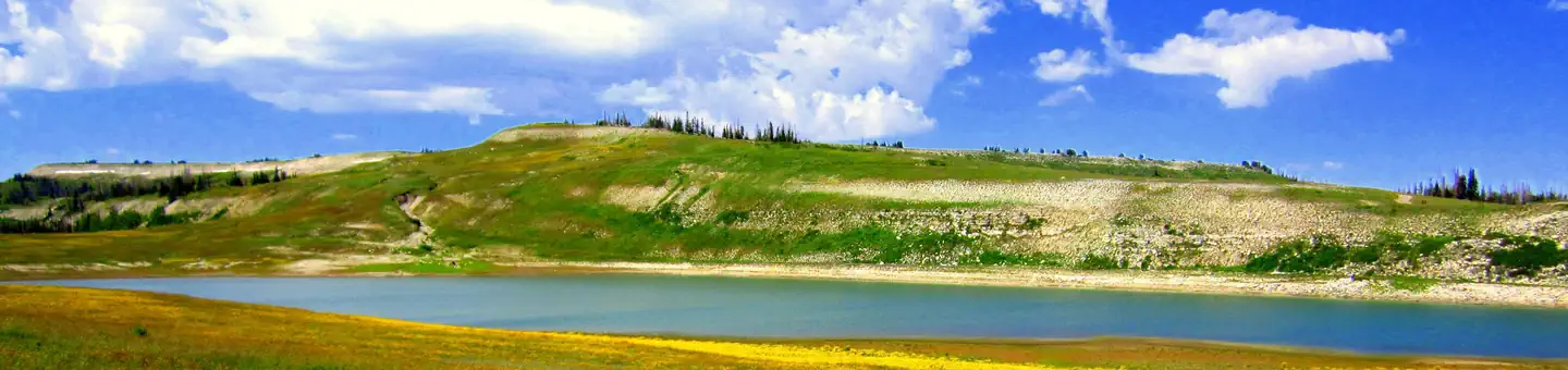
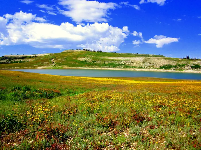
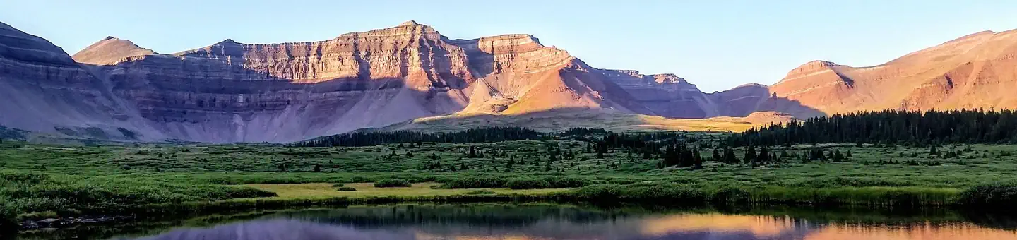
The Manti–La Sal National Forest covers more than 1.2 million acres (4,900 km2) and is located in the central and southeastern parts of the U.S. state of Utah and the extreme western part of Colorado. The forest is headquartered in Price, with ranger district offices in Price, Ferron, Ephraim, Moab and Monticello. The maximum elevation is Mount Peale in the La Sal Mountains, reaching 12,721 feet (3,877 m) above sea level. The La Sal Mountains are the second highest mountain range in Utah after the Uintas. Parts of the forest are included in the Bears Ears National Monument.
Source: Wikipedia — text licensed CC BY-SA 4.0. Verify alerts and operational details with the managing agency below.
Reviews
No reviews yet
Be the first to share your experience and help others plan their visit.
Hunting in this park
This park overlaps hunting units
During hunting seasons, wear blaze orange and check regulations — see the Utah hunting page
Within ~100 miles
Parks near Manti-La Sal National Forest


Same state
More parks in Utah

Featured
National Park
Park
Arches National Park
Utah
120 sq mi

Featured
National Park
Park
Bryce Canyon National Park
Utah
56 sq mi

Featured
National Park
Park
Zion National Park
Utah
230 sq mi

Nat'l Recreation Area
Park
18 Road - North Fruita Desert
Utah

Nat'l Recreation Area
Park
Anasazi State Park Museum
Utah

Nat'l Recreation Area
Park
Antelope Island State Park
Utah
recreation area
Park
Armijo Route
Utah
Nat'l Recreation Area
Park
Ashley National Forest
Utah
Spot an error in our data on Manti-La Sal National Forest?