1 / 5
Nat'l Recreation Area
Official sources & verification
Managed by Bureau of Land Management
Source of truth
- Lower Deschutes River Back Country Byway — official page
Operator-published page with current visitor information.
- Agency source page
The page our published rules and notes are derived from.
Managing agency
- Bureau of Land Management
Find offices, alerts, and current orders for this agency.
Verify by phone or mail
- Operator:541-416-6700
- Email:BLM_OR_PR_Mail@blm.gov
- Address:OR
About
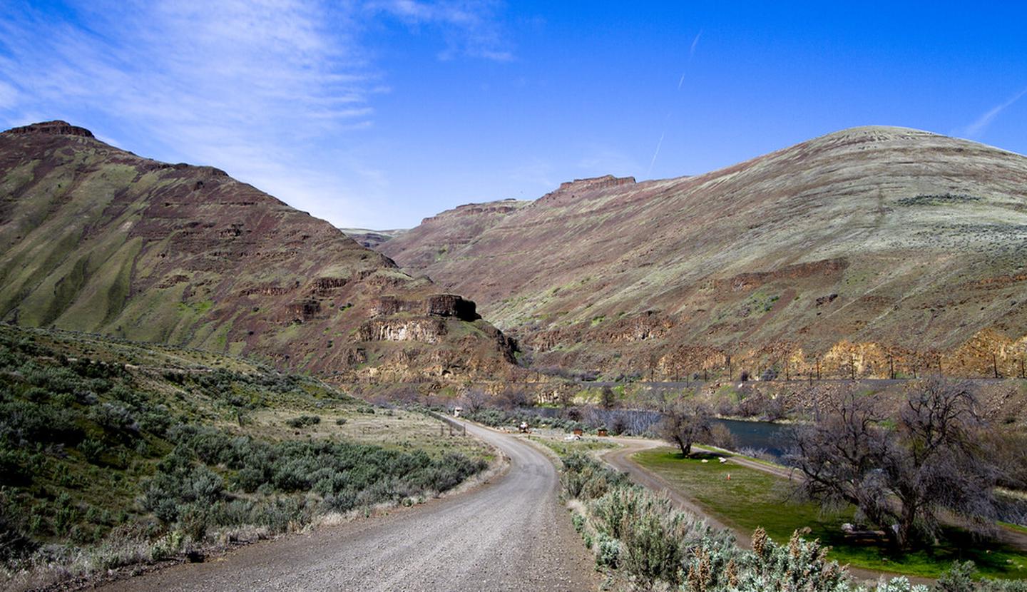
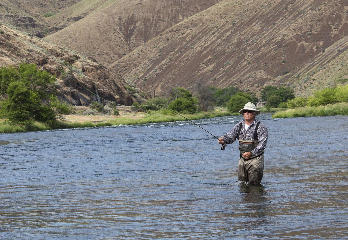
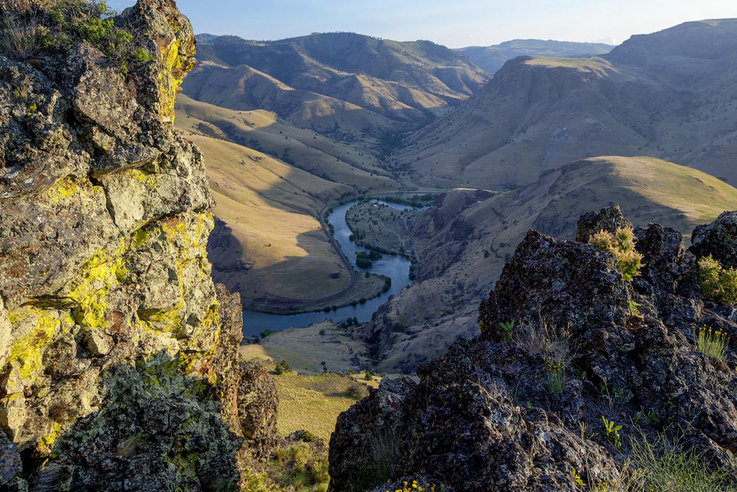
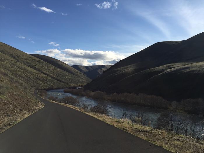
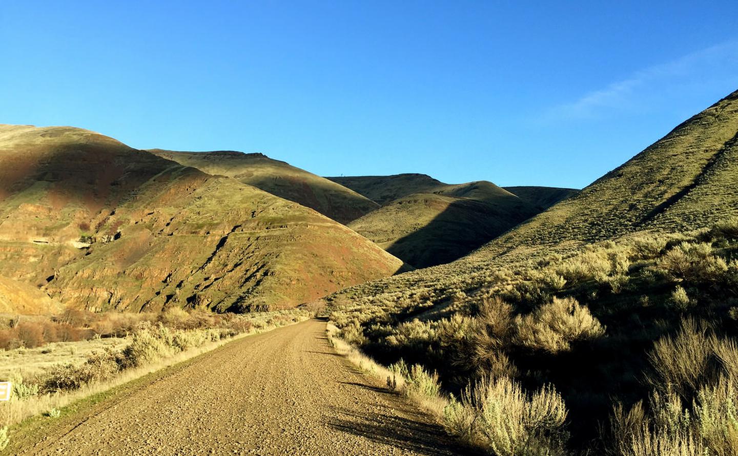
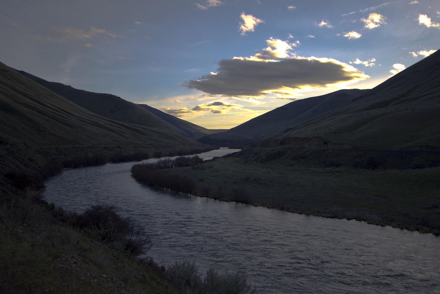
Imported descriptionSpanning 32 miles along the east bank of the Lower Deschutes Wild and Scenic River, this back country byway offers close-up views of rapids and steep canyon country. Twelve paved miles originate from the hamlet of Maupin and connect to state highway 216 near Sherars Falls. The remainder of the byway is surfaced with high-standard gravel, suitable for passenger vehicles. Twenty-two developed recreation sites offer year-round river access including 4 boat launches, 7 day-use areas, and 10 campgrounds with 140 individual campsites and 21 group campsites. The byway terminates to the south at Locked Gate Day Use Area and to the north at Macks Canyon Campground.Know Before You GoCell phone service is limited or not available in most locations along the back country byway.Watch for bicyclists: portion of the paved section of road is a segment of Sherars Falls Scenic BikewayBoater Passes are required year-round, for both day and overnight use, for anyone using a watercraft or any other floating device as a means of transport on the Lower Deschutes River. See the Boater Pass link elsewhere on this page for further information.Developed recreation sites along the back country byway are available on a first-come, first-served basis.September 16th–May 14th: Single sites are $8.00/night; group sites are $25/night.May 15th–September 15th: Sunday–Thursday nights, single sites are $8.00/night, group sites are $25/night. Friday and Saturday single sites are $12.00/night; group sites are $35.00/night. Recreation and Cultural Sites South of Maupin, Oregon (ordered south to north)Locked Gate Day-Use AreaNena Day-Use AreaDevil's Canyon CampgroundLong Bend CampgroundHarpham Flat CampgroundWapinitia Day-Use AreaMaupin Section Foreman House Historic SiteRecreation and Cultural Sites North of Maupin, Oregon (ordered south to north)Oasis CampgroundGrey Eagle Day-Use AreaBlue Hole CampgroundLower Blue Hole Day-Use AreaOak Springs Day-Use AreaSurf City Day-Use AreaWhite River CampgroundSandy Beach Day-Use AreaBuckhollow Day-Use AreaPine Tree Day-Use AreaTwin Springs CampgroundOakbrook Day-Use AreaJones Canyon CampgroundBeavertail CampgroundRattlesnake Canyon CampgroundMacks Canyon CampgroundPoint of InterestMuch of the back country byway was a former railbed, one of two whose owners feverishly competed for completion in the early 19th century. Today, the historic Section Foreman's House remains alongside the road just south of Maupin. Open seasonally, the building is restored to historically-authentic condition and offers interpretive displays and general river information.
Source: recreation.gov
Reviews
No reviews yet
Be the first to share your experience and help others plan their visit.
Within ~100 miles
Parks near Lower Deschutes River Back Country Byway

Nat'l Recreation Area
Park
White Wild and Scenic River
Oregon
Nat'l Recreation Area
Park
Lower White River Wilderness
Oregon
Nat'l Recreation Area
Park
The Dalles Lock and Dam, Lake Celilo
Oregon
Nat'l Recreation Area
Park
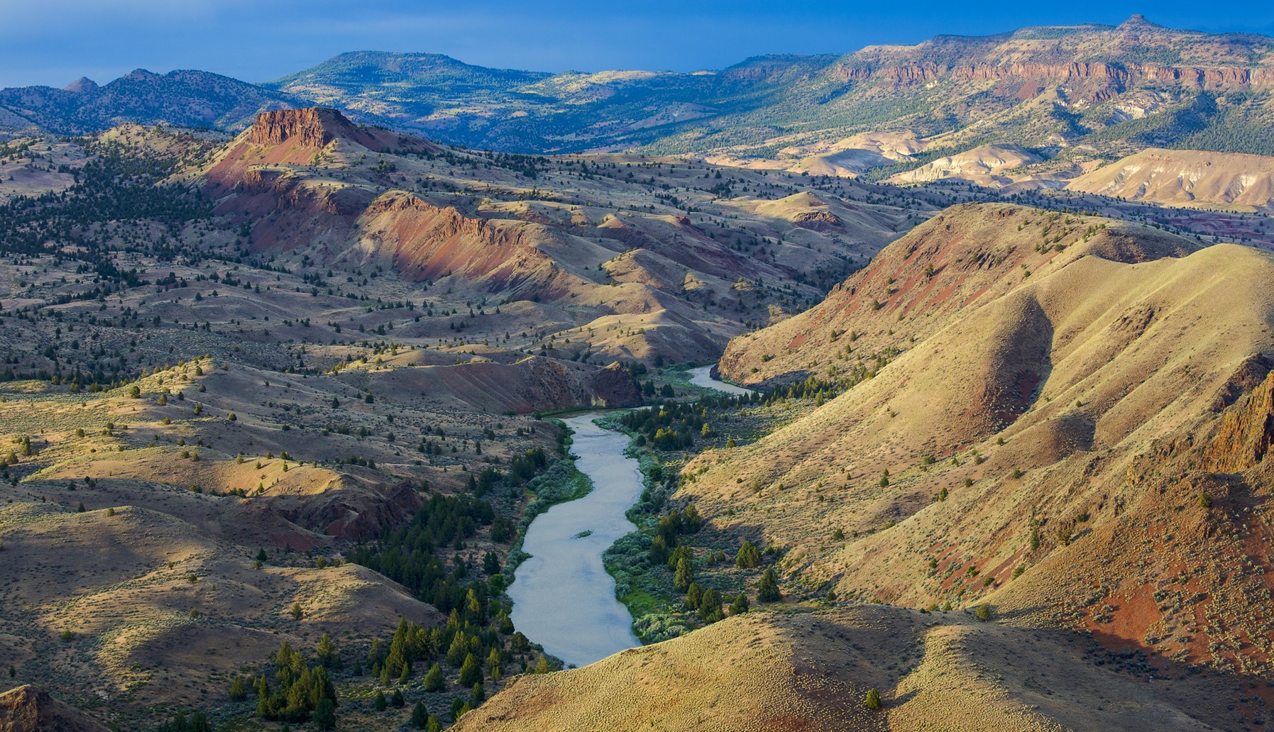
John Day Wild and Scenic River
Oregon
Nat'l Recreation Area
Park
Trout Creek Trail
Oregon
recreation area
Park
Clear Lake
Oregon
Same state
More parks in Oregon

Featured
National Park
Park
Crater Lake National Park
Oregon
286 sq mi
Featured
National Forest
Park
Mt. Hood National Forest
Oregon
1,667 sq mi
Nat'l Recreation Area
Park
Agate Reservoir
Oregon
recreation area
Park
Agency Lake Ranch
Oregon
Nat'l Recreation Area
Park
Alvord Desert
Oregon

wildlife refuge
Park
Ankeny National Wildlife Refuge
Oregon
Nat'l Recreation Area
Park
Baker Cypress Trail
Oregon
Nat'l Recreation Area
Park
Bandon Marsh National Wildlife Refuge
Oregon
Spot an error in our data on Lower Deschutes River Back Country Byway?