1 / 3
Official sources & verification
Managed by Recreation Area
Source of truth
- Agency source page
The page our published rules and notes are derived from.
Verify by phone or mail
- Operator:(770) 945-9531
- Address:GA
About
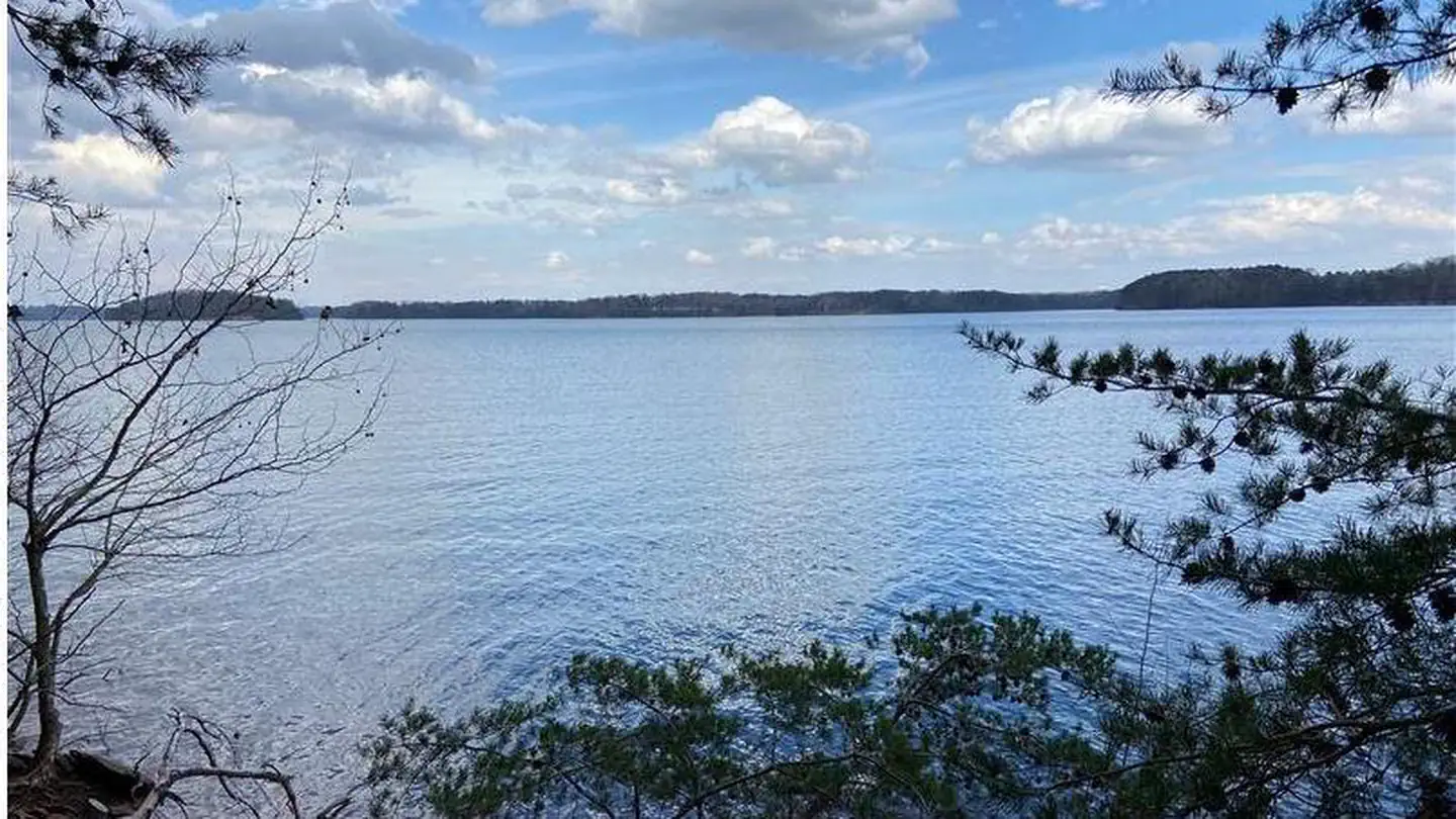
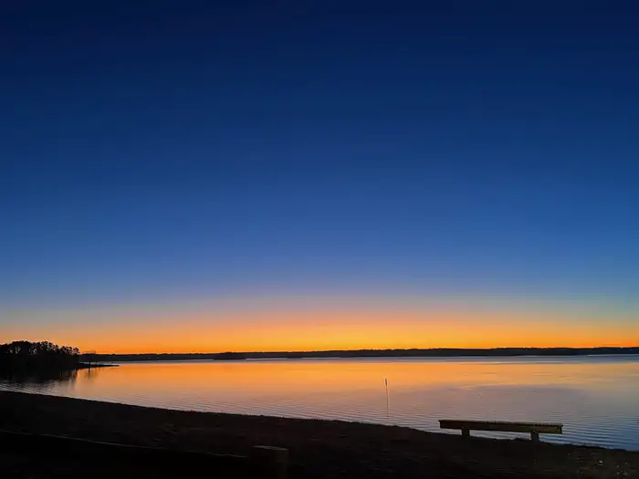
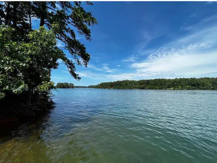
Lake Lanier is a reservoir in the northern portion of the U.S. state of Georgia. It was created by the completion of Buford Dam on the Chattahoochee River in 1956, and is also fed by the waters of the Chestatee River. The lake encompasses 38,000 acres (15,000 ha) or 59 mi2 (150 km2) of water, and 692 mi (1,114 km) of shoreline at normal level, a "full pool" of 1,071 ft (326 m) above mean sea level and the exact shoreline varies by resolution according to the coastline paradox. Named for Confederate veteran and poet Sidney Lanier, which has caused recent renaming controversies and public debate. It was built and is operated by the U.S. Army Corps of Engineers for flood control and water supplies. Its construction destroyed more than 50,000 acres (20,000 ha) of farmland and displaced more than 250 families, 15 businesses, and relocated 20 cemeteries along with their remains in the process.
Source: Wikipedia — text licensed CC BY-SA 4.0. Verify alerts and operational details with the managing agency below.
Reviews
No reviews yet
Be the first to share your experience and help others plan their visit.
Within ~100 miles
Parks near Lake Sidney Lanier
Chattahoochee River National Recreation Area
Georgia
ParkNat'l Recreation Area
Chattahoochee-Oconee National Forest
Georgia
ParkNat'l Recreation Area
Martin Luther King, Jr. National Historical Park
Georgia
ParkNational Historical Park
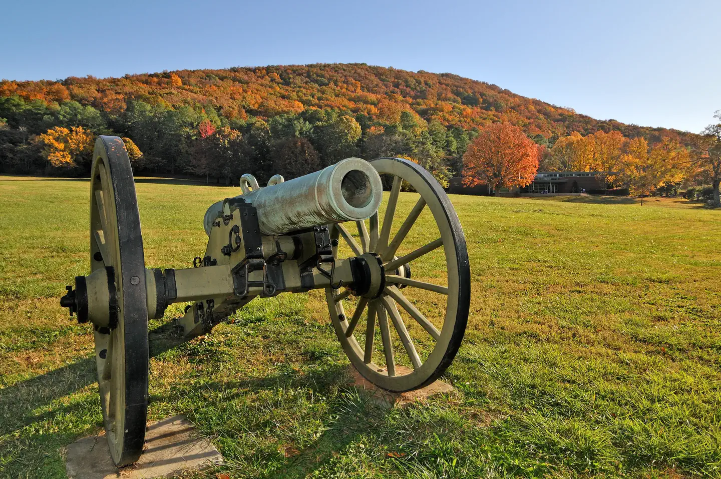
Kennesaw Mountain National Battlefield Park
Georgia
ParkNat'l Recreation Area
Chattahoochee-Oconee National Forests
Georgia
1,355 sq mi
ParkNational Forest
Arabia Mountain National National Heritage Area
Georgia
ParkNat'l Recreation Area
Same state
More parks in Georgia
Andersonville National Historic Site
Georgia
ParkNational Historic Site
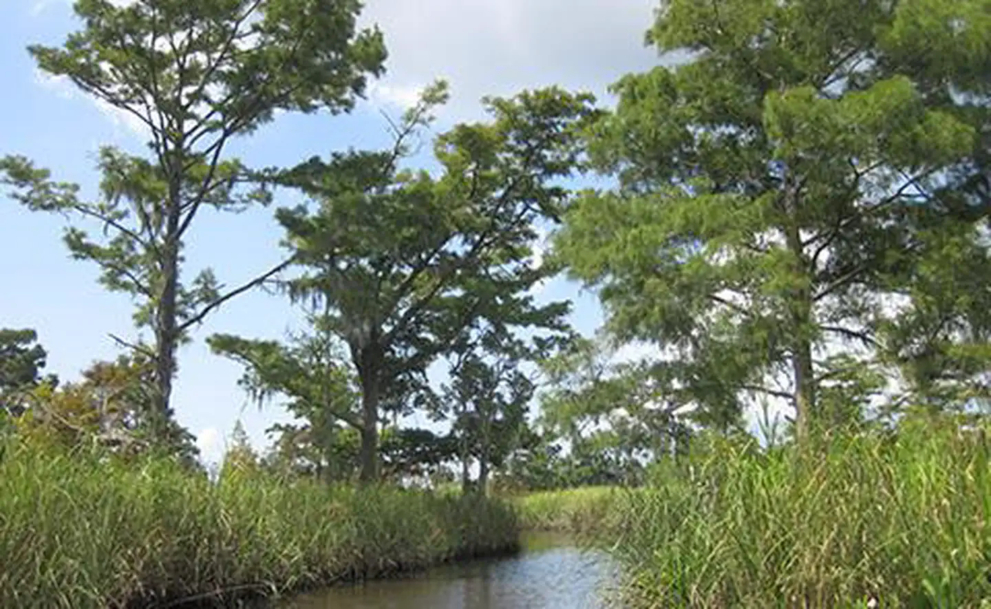
Apalachicola National Estuarine Research Reserve
Georgia
ParkNat'l Recreation Area

Banks Lake National Wildlife Refuge
Georgia
Parkwildlife refuge
Blackbeard Island National Wildlife Refuge
Georgia
Parkwildlife refuge
Bond Swamp National Wildlife Refuge
Georgia
Parkwildlife refuge
Chickamauga & Chattanooga National Military Park
Georgia
ParkNational Military Park
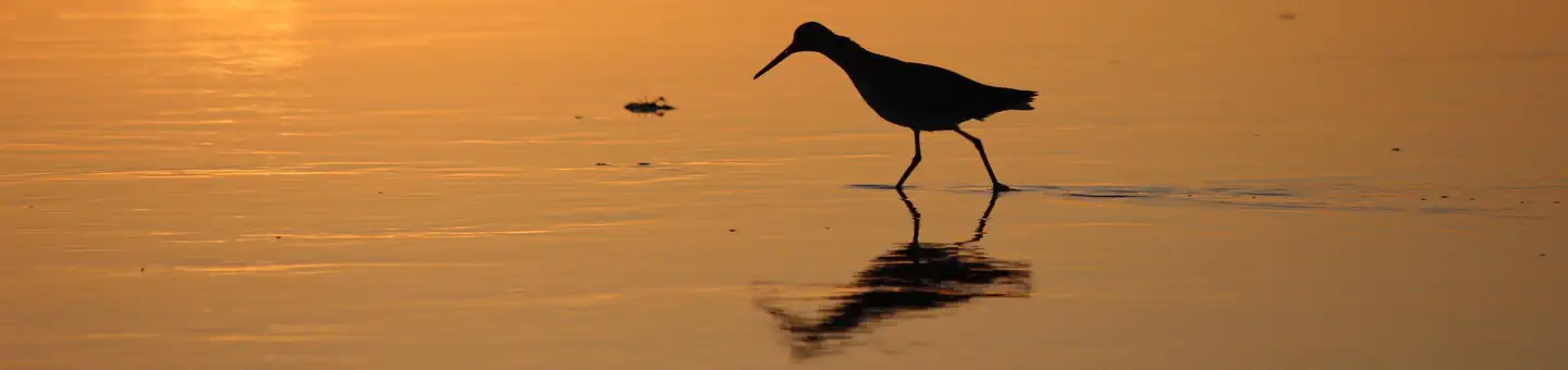
Cumberland Island National Seashore
Georgia
ParkNational Seashore

Fort Frederica National Monument
Georgia
ParkNat'l Recreation Area
Spot an error in our data on Lake Sidney Lanier?