Nat'l Recreation Area
Official sources & verification
Managed by National Recreation Area
Source of truth
- Agency source page
The page our published rules and notes are derived from.
Managing agency
- National Recreation Area
Find offices, alerts, and current orders for this agency.
Verify by phone or mail
- Operator:(605) 245-2255
- Address:SD
About
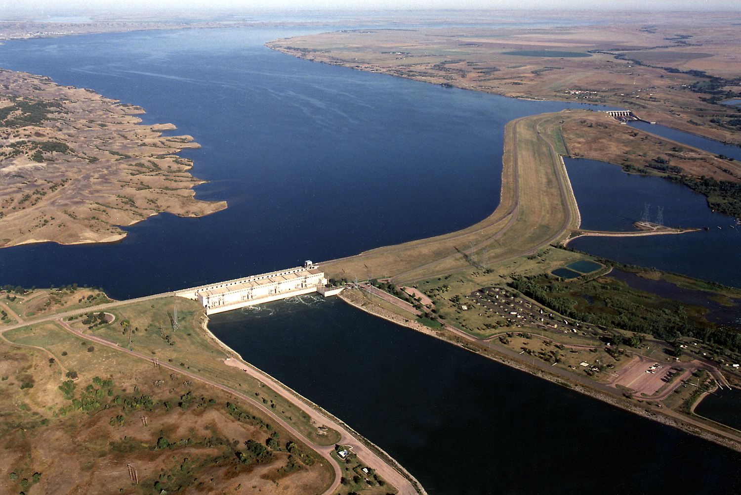
Imported descriptionBig Bend Dam, SD takes its name from the unique bend in the Missouri River 7 miles upstream from the dam. At this point in its course, the Missouri makes almost a complete loop, traveling 25 miles before returning to the "neck" where the land is not quite a mile wide. The 19 Lake Sharpe recreation areas vary from primitive to highly developed and provide opportunities for camping, boating, picnicking, and fishing.
Source: recreation.gov
From Wikipedia
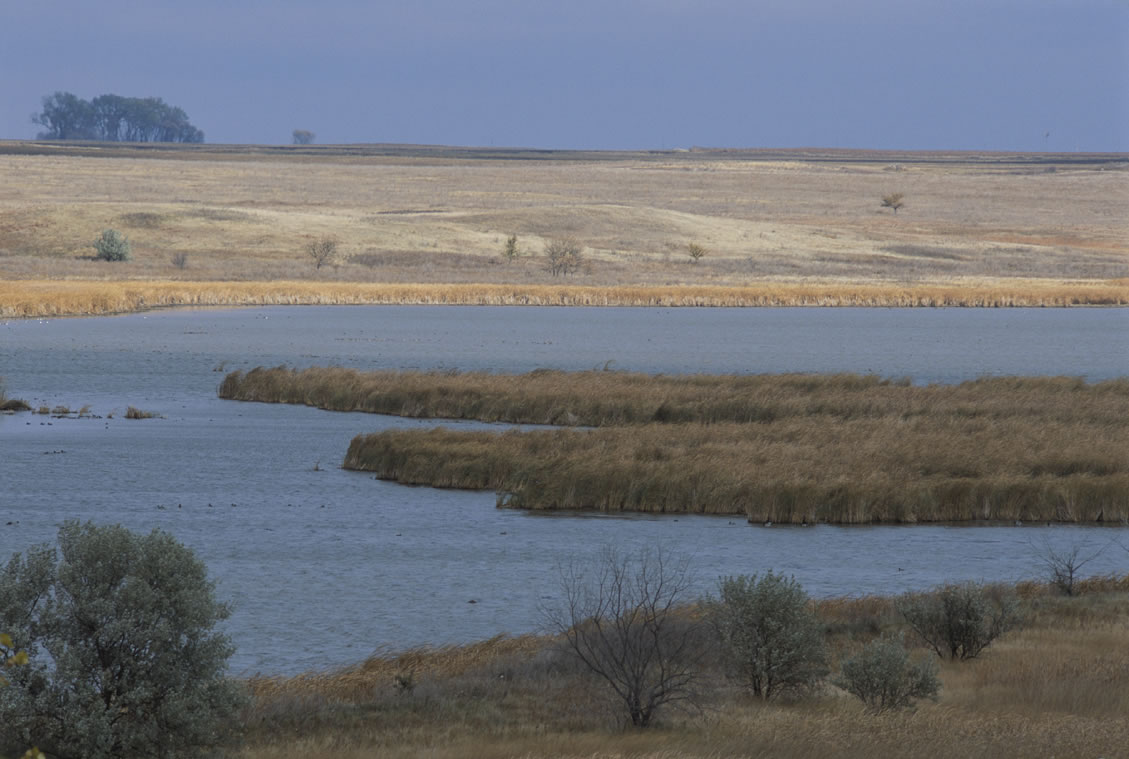
Lake Sharpe is a large reservoir impounded by Big Bend Dam on the Missouri River in central South Dakota, United States. The lake has an area of 56,884 acres (230.20 km2) and a maximum depth of 78 ft (24 m). Lake Sharpe is approximately 80 mi (130 km) long, with a shoreline of 200 mi (320 km). Lake Sharpe is the 54th largest reservoir in the United States. The lake starts near Ft. Thompson and stretches upstream to Oahe Dam, near Pierre. The lake is located within the following counties: Buffalo, Lyman, Hyde, Hughes, and Stanley. The Big Bend of the Missouri is about 7 miles (11 km) north of the dam.
Source: Wikipedia — text licensed CC BY-SA 4.0. Verify alerts and operational details with the managing agency below.
Reviews
No reviews yet
Be the first to share your experience and help others plan their visit.
Hunting in this park
Hunting is generally prohibited in this National Park Service unit
Verify current park-specific rules with the National Park Service before planning any hunt. See NPS regulations
Within ~100 miles
Parks near Lake Sharpe

recreation area
Park
Lake Oahe
South Dakota
Nat'l Recreation Area
Park
Huron Wetland Management District
South Dakota
Nat'l Recreation Area
Park
James Diversion Reservoir
South Dakota
Nat'l Recreation Area
Park
Lake Andes National Wildlife Refuge
South Dakota

recreation area
Park
Lake Francis Case
South Dakota
wildlife refuge
Park
Karl E. Mundt National Wildlife Refuge
South Dakota
Same state
More parks in South Dakota
Featured
National Forest
Park
Black Hills National Forest
South Dakota
1,953 sq mi
Featured
State Park
Park
Custer State Park
South Dakota
111 sq mi

Nat'l Recreation Area
Park
Badlands National Park
South Dakota
recreation area
Park
Belle Fourche Reservoir - Rocky Point Recreation Area
South Dakota

recreation area
Park
Cold Brook Lake
South Dakota
Nat'l Recreation Area
Park
Deerfield Reservoir
South Dakota
Nat'l Recreation Area
Park
Fort Meade Recreation Area
South Dakota
wildlife refuge
Park
Fort Niobrara National Wildlife Refuge
South Dakota
Spot an error in our data on Lake Sharpe?