No photos yet
Official sources & verification
Managed by National Recreation Area
Source of truth
- Agency source page
The page our published rules and notes are derived from.
Managing agency
- National Recreation Area
Find offices, alerts, and current orders for this agency.
Verify by phone or mail
- Operator:435-743-3100
- Email:utfmmail@blm.gov
- Address:UT
About
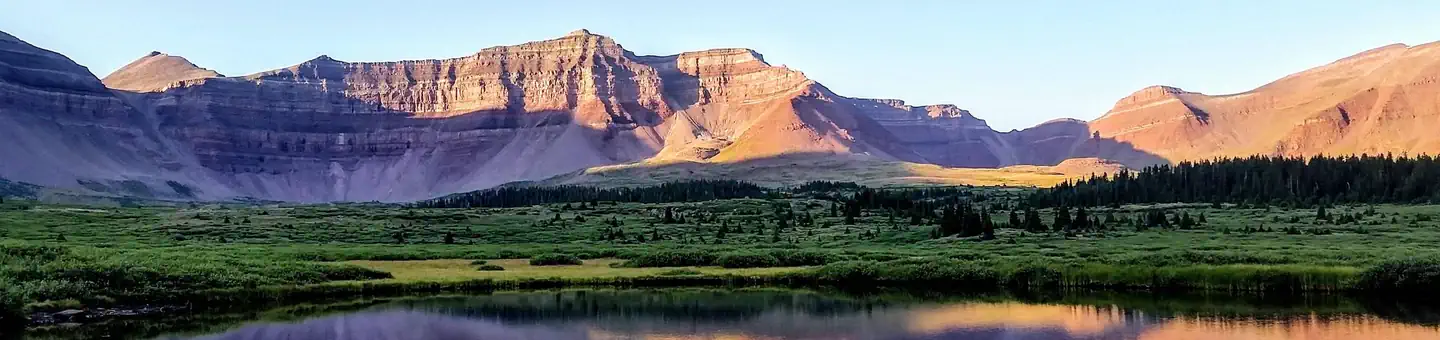
Imported descriptionThis WSA is characterized by rugged terrain and steep cliffs. Shrubs and grasses are the dominant vegetation at lower elevations with pinyon-juniper woodland at higher elevations. The area is known in Utah and throughout the country for its beds of Cambrian trilobites. In addition, Council Cave, near Antelope Peak, has the largest entrance of any cave in Utah, and can be visible for 50 miles.
Source: recreation.gov
From Wikipedia
The Daniels Range is a principal mountain range of the Usarp Mountains, about 80 km (50 mi) long and 16 km (10 mi) wide, bounded to the north by Harlin Glacier and to the south by Gressitt Glacier.
Source: Wikipedia — text licensed CC BY-SA 4.0. Verify alerts and operational details with the managing agency below.
Reviews
No reviews yet
Be the first to share your experience and help others plan their visit.
Hunting in this park
Hunting is generally prohibited in this National Park Service unit
Verify current park-specific rules with the National Park Service before planning any hunt. See NPS regulations
Within ~100 miles
Parks near Howell Peak
Same state
More parks in Utah

Featured
National Park
Park
Arches National Park
Utah
120 sq mi

Featured
National Park
Park
Bryce Canyon National Park
Utah
56 sq mi

Featured
National Park
Park
Zion National Park
Utah
230 sq mi

Nat'l Recreation Area
Park
18 Road - North Fruita Desert
Utah

Nat'l Recreation Area
Park
Anasazi State Park Museum
Utah
Nat'l Recreation Area
Park
Antelope Island State Park
Utah
recreation area
Park
Armijo Route
Utah
Nat'l Recreation Area
Park
Ashley National Forest
Utah
Spot an error in our data on Howell Peak?