No photos yet
Official sources & verification
Managed by National Recreation Area
Source of truth
- Agency source page
The page our published rules and notes are derived from.
Managing agency
- National Recreation Area
Find offices, alerts, and current orders for this agency.
Verify by phone or mail
- Operator:970-679-4570
- Email:www.parksoffice@co.larimer.co.us
- Address:CO
About
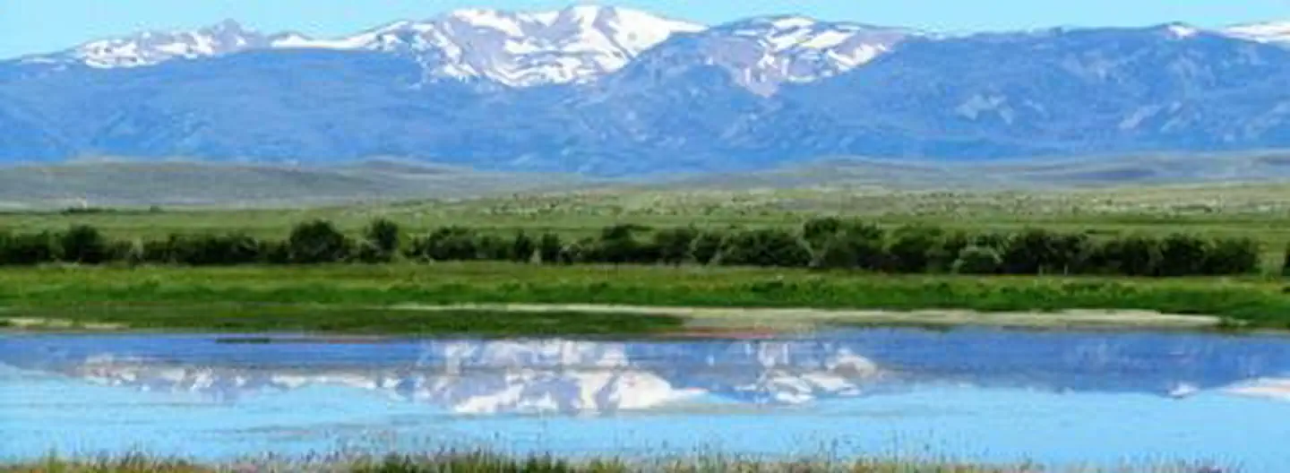
Imported descriptionHorsetooth Reservoir, Colorado-Big Thompson Project, furnishes the main water supply for the Poudre Valley. The reservoir is 6.5 miles long, and is formed by four large earthfill dams. Developments include 4 campgrounds, 111 campsites, and 7 boat-launch ramps. A concession-operated public marina is located at the Inlet Bay area. Concession operated restaurant (Cordova's Horsetooth Lighthouse, 970-223-3922) is located in the South Bay. A developed public swim beach located on the west side of the lake. NOTE As a result of the Modernization of the Dam project, Reclamation lowered the water at Horsetooth and began modernizing the four dams. The reservoir has approximately 1,899 water surface acres, 1,978 land acres and 25 miles of shoreline. Primary recreation activities include fishing, power boating, water skiing and camping. Primary sport fish include rainbow trout, crappie, smallmouth bass, white bass, wiper, largemouth bass, and walleye. Current Reservoir Levels
Colorado State Parks operates a small visitor center at Lory State Park, located next to the north shore of Horsetooth Reservoir.
Source: recreation.gov
From Wikipedia
Horsetooth Reservoir is a large reservoir in southern Larimer County, Colorado, in the foothills just west of the city of Fort Collins, Colorado. The reservoir runs north-south for approximately 6.5 miles (10 km) and is approximately one-half mile (1 km) wide. Its shape and orientation are the result of the fact that the main body of the reservoir is contained between several homoclinal ridges. A ridge composed of Dakota sandstone runs along the east side where gaps in the ridge are plugged by dams. On the west (uphill) side there are two prominent ridges topped by erosion-resistant sandstones of the Lyons and Ingleside formations. Gaps in these ridges have created a handful of bays and coves the largest of which is Inlet Bay, home to a marina and campgrounds.
Source: Wikipedia — text licensed CC BY-SA 4.0. Verify alerts and operational details with the managing agency below.
Reviews
No reviews yet
Be the first to share your experience and help others plan their visit.
Hunting in this park
Hunting is generally prohibited in this National Park Service unit
Verify current park-specific rules with the National Park Service before planning any hunt. See NPS regulations
Within ~100 miles
Parks near Horsetooth Reservoir

Nat'l Recreation Area
Park
Arapaho & Roosevelt National Forests Pawnee NG
Colorado
Nat'l Recreation Area
Park
Flatiron Reservoir
Colorado
Nat'l Recreation Area
Park
Carter Reservoir (Carter Lake)
Colorado
Nat'l Recreation Area
Park
Pinewood Lake
Colorado

recreation area
Park
Lake Estes
Colorado
recreation area
Park
Marys Lake
Colorado
Same state
More parks in Colorado

Featured
National Park
Park
Rocky Mountain National Park
Colorado
415 sq mi
Featured
National Forest
Park
White River National Forest
Colorado
3,572 sq mi
Nat'l Recreation Area
Park
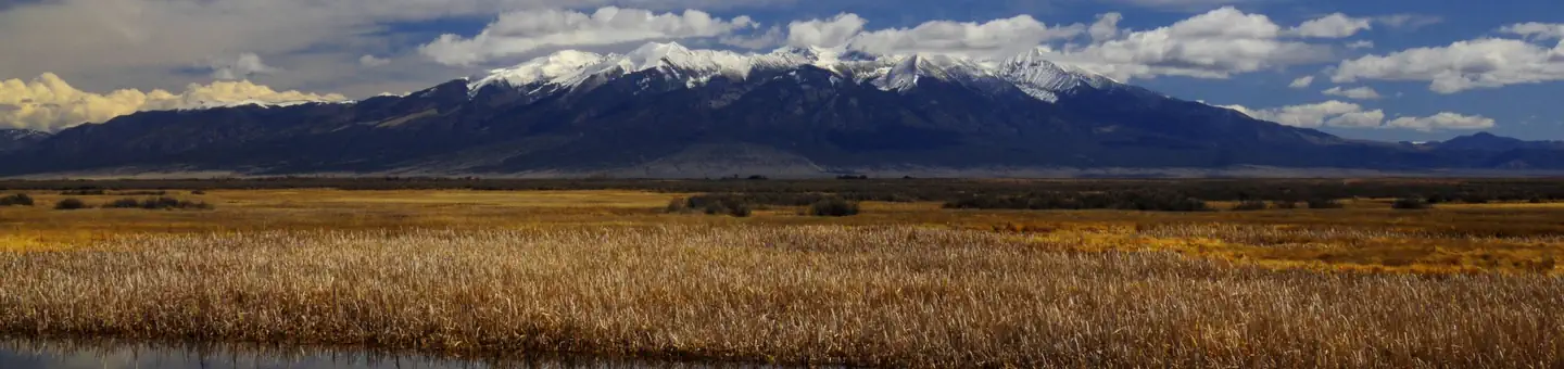
Alamosa National Wildlife Refuge
Colorado
Nat'l Recreation Area
Park
Alpine Loop
Colorado
National Historic Site
Park
Amache National Historic Site
Colorado
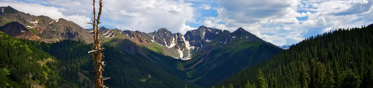
National Forest
Park
Arapaho and Roosevelt National Forests
Colorado
2,403 sq mi
wildlife refuge
Park
Arapaho National Wildlife Refuge
Colorado
Nat'l Recreation Area
Park
Arkansas Headwaters Recreation Area
Colorado
Spot an error in our data on Horsetooth Reservoir?