No photos yet
Official sources & verification
Managed by National Recreation Area
Source of truth
- Agency source page
The page our published rules and notes are derived from.
Managing agency
- National Recreation Area
Find offices, alerts, and current orders for this agency.
Verify by phone or mail
- Operator:760-872-5000
- Email:BLM_CA_Web_BI@blm.gov
- Address:CA
About
Imported descriptionHappy Boulders
The Volcanic Tableland offers exceptional bouldering opportunities. 750,000 years ago, cataclysmic volcanic eruption of the Long Valley Caldera created unique geologic features along the Bishop Tuff. Through time, this once barren tableau has evolved to support a unique and fragile environment that takes a keen eye and time to appreciate.
The Volcanic Tablelands is situated at the ecological cusp of the Northern Mojave and Great Basin floristic Provinces where plants and associated wildlife species combine to make this an unusual and biologically diverse landscape. It has taken millennia for this environment to evolve and it will take responsible recreational users to preserve it into perpetuity - so enjoy and protect this place.
In the early 90 s, the Tableland was visited only by local climbers. By the late 90 s, thousands of climbers were coming from all over the world to try out their climbing skills on the many boulder problems the Tableland has to offer. With this dramatic increase in use, the BLM and the local climbing community has developed a climbing management philosophy to protect the natural resources while preserving access to climbing opportunities.
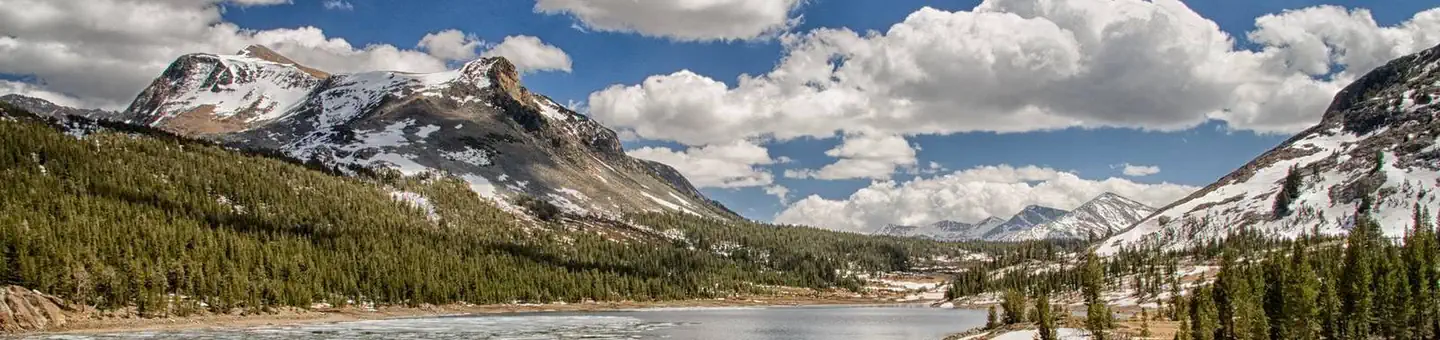
The Happy drainage and Sad drainage are located along the Inyo-Mono County line, approximately 7 miles north of Bishop, California. Both drainages are oriented in a north-south direction extending north from the Owens Valley. The crest of the Sierra Nevada of 14,000 ft (4,265 m) lies 16 miles (27 km) to the southwest, and the crest of the White mountains of 12,500 ft (3,800 m) is 11 miles (18 km) to the east. Both areas are in the transitional zone between cold semi-deserts of the Great Basin to the northeast and the hotter Mojave to the south.
Source: recreation.gov
Reviews
No reviews yet
Be the first to share your experience and help others plan their visit.
Hunting in this park
Hunting is generally prohibited in this National Park Service unit
Verify current park-specific rules with the National Park Service before planning any hunt. See NPS regulations
Within ~100 miles
Parks near Happy Boulders
Nat'l Recreation Area
Park
Inyo National Forest
California
Nat'l Recreation Area
Park
Fish Slough Petroglyphs
California
Nat'l Recreation Area
Park
Fish Slough Area of Critical Environmental Concern
California
Nat'l Recreation Area
Park
Chidago Canyon Petroglyphs
California
Nat'l Recreation Area
Park
Red Canyon Petroglyphs
California
Nat'l Recreation Area
Park
White Mountains Wilderness
California
Same state
More parks in California

Featured
National Park
Park
Death Valley National Park
California
5,326 sq mi

Featured
National Park
Park
Joshua Tree National Park
California
1,242 sq mi

Featured
National Park
Park
Redwood National and State Parks
California
217 sq mi

Featured
National Park
Park
Sequoia National Park
California
631 sq mi
Featured
National Forest
Park
Shasta-Trinity National Forest
California
3,438 sq mi

Featured
National Park
Park
Yosemite National Park
California
1,190 sq mi
Nat'l Recreation Area
Park
California

Wilderness Area
Park
Agua Tibia Wilderness
California
Spot an error in our data on Happy Boulders?